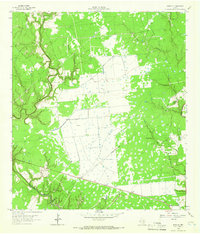
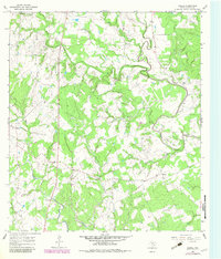
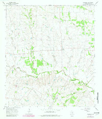
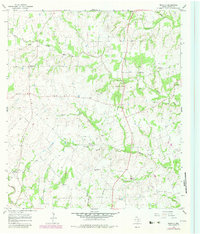
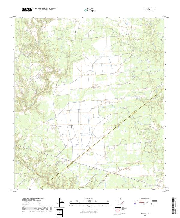
1964 Map of Morales
USGS Topo · Published 1966This historical map portrays the area of Morales in 1964, primarily covering Lavaca County as well as portions of Jackson County. Featuring a scale of 1:24000, this map provides a highly detailed snapshot of the terrain, roads, buildings, counties, and historical landmarks in the Morales region at the time. Published in 1966, it is one of 2 known editions of this map due to revisions or reprints.
Find a feature on this map
18 named features on this map. Tap any name to fly to it.
Don’t see what you’re looking for? This feature index may not catch every label — zoom into the map to look around manually.
Map Details
Editions of this 1964 Morales Map
2 editions found
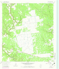
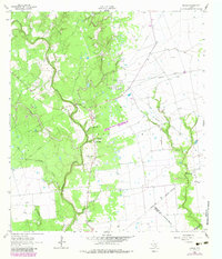
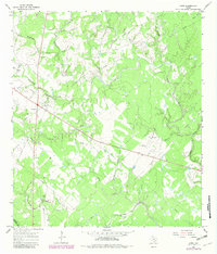
Historical Maps of Jackson County Through Time
22 maps found
1962 Hallettsville SE
Lavaca County, TX
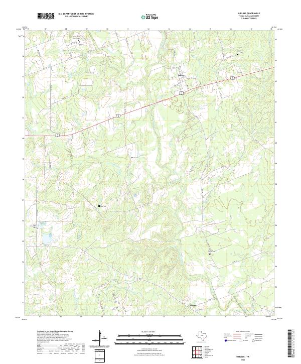
1962 Sublime
Lavaca County, TX
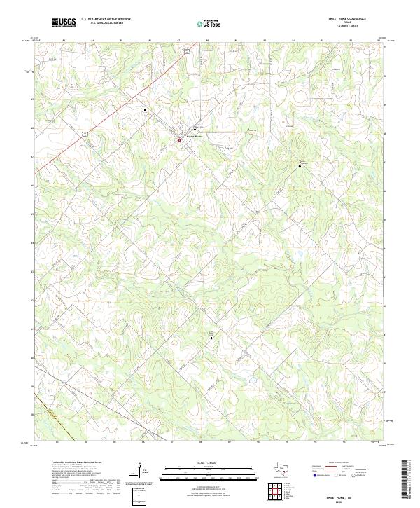
1963 Sweet Home
Lavaca County, TX
1964 Ezzell
Lavaca County, TX
1964 Morales
Lavaca County, TX
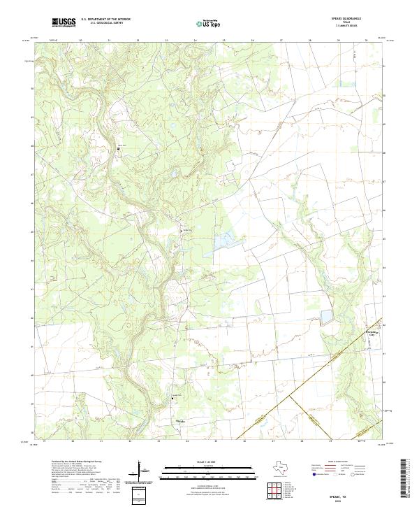
1964 Speaks
Lavaca County, TX
1965 Hope
Lavaca County, TX
1965 Komensky
Lavaca County, TX
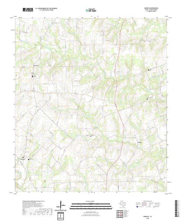
1965 Moravia
Lavaca County, TX
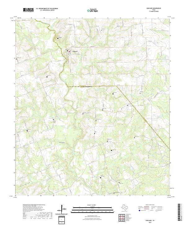
1965 Oakland
Lavaca County, TX
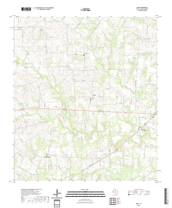
1965 Wied
Lavaca County, TX
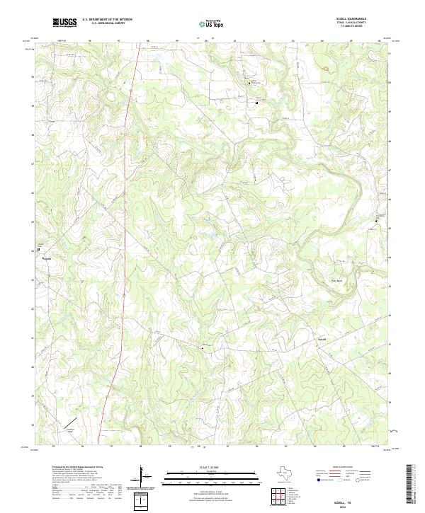
2022 Ezzell
Lavaca County, TX
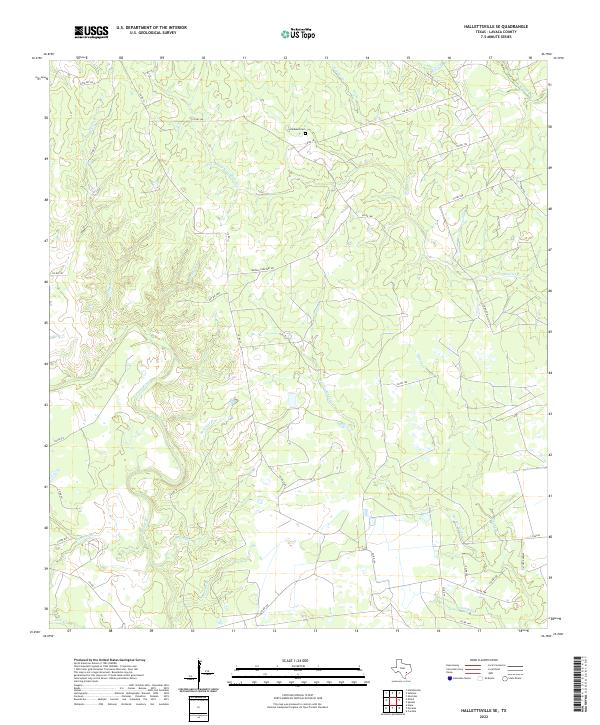
2022 Hallettsville SE
Lavaca County, TX
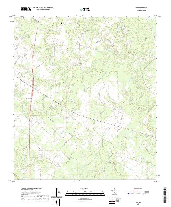
2022 Hope
Lavaca County, TX
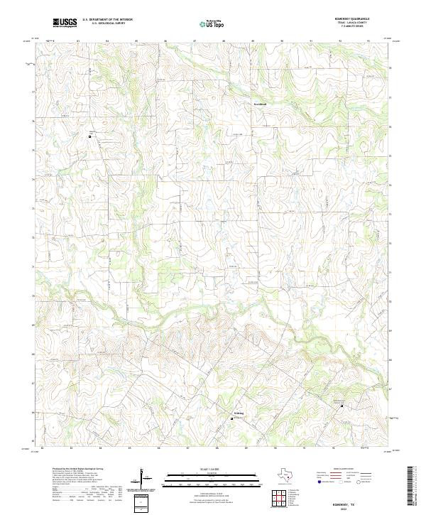
2022 Komensky
Lavaca County, TX
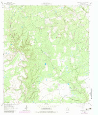
2022 Morales
Lavaca County, TX
2022 Moravia
Lavaca County, TX
2022 Oakland
Lavaca County, TX
2022 Speaks
Lavaca County, TX
2022 Sublime
Lavaca County, TX
2022 Sweet Home
Lavaca County, TX
2022 Wied
Lavaca County, TX