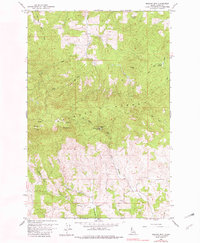
1960 Map of Moscow Mtn
USGS Topo · Published 1982About this map
The Palouse Range dominates this northern Idaho landscape, anchored by the prominent summit of Moscow Mtn. Photographed in 1957 and field-checked in 1960, this survey captures a high-elevation environment of steep ridges and deep drainages, including the headwaters of Big Meadow Creek and Hatter Creek. Local infrastructure is concentrated along the periphery of the mountain's heavy forest cover, featuring the Village of Troy Reservoir and the East Moscow Lookout positioned for fire surveillance. To the south, the terrain transitions into the more level reaches of Randall Flat, where the Beulah Cem serves as a quiet marker of early area settlement. The map illustrates a network of trails and jeep paths crossing through Browns Meadow and up to the Moscow Mtn Picnic Area, reflecting the area's dual role for utility and recreation.
Find a feature on this map
26 named features on this map. Tap any name to fly to it.
Don’t see what you’re looking for? This feature index may not catch every label — zoom into the map to look around manually.
Map Details
Editions of this 1960 Moscow Mtn Map
5 editions found
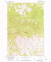
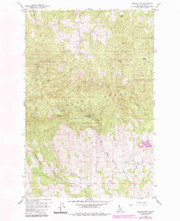
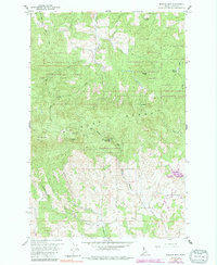
Other maps of this area

1955 · Pullman
USGS Topo · 1:250,000

1958 · Pullman
USGS Topo · 1:250,000

1960 · Troy
USGS Topo · 1:24,000

1960 · Robinson Lake
USGS Topo · 1:24,000

1960 · Moscow Mtn
USGS Topo · 1:24,000

1960 · Moscow East
USGS Topo · 1:24,000

1960 · Potlatch
USGS Topo · 1:62,500

1961 · Deary
USGS Topo · 1:62,500

1961 · Kendrick
USGS Topo · 1:62,500

1961 · Moscow
USGS Topo · 1:62,500