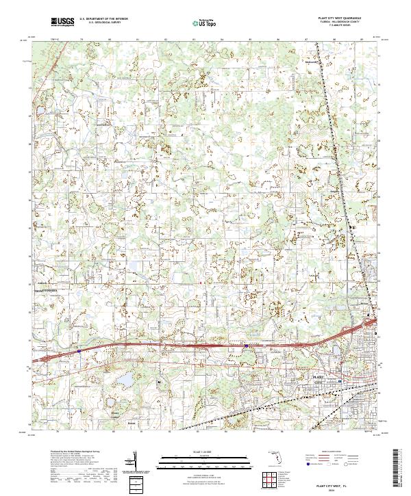
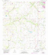
2024 Map of Plant City West
USGS Topo · Published 2024About this map
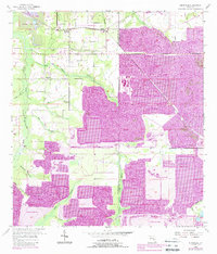
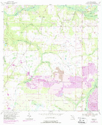
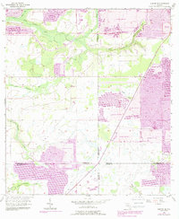
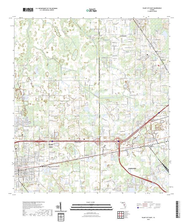
Plant City and Thonotosassa anchor this portrait of Hillsborough County, showing a landscape of established agriculture and expanding suburban networks. The western edge of Plant City is heavily documented, from the Plant City High Sch to the nearby Plant City Airport, illustrating the community's modern infrastructure. Smaller, older hubs like Dover, Snows Corner, and Knights remain visible as distinct points of local history.
Find a feature on this map
116 named features on this map. Tap any name to fly to it.
Don’t see what you’re looking for? This feature index may not catch every label — zoom into the map to look around manually.
Map Details
Editions of this 2024 Plant City West Map
This is the sole edition of this map. No revisions or reprints were ever made.
Historical Maps of Aldermans Addition Through Time
42 maps found

1942 Cockroach Bay
Hillsborough County, FL

1943 Gandy Bridge
Hillsborough County, FL

1943 Port Tampa
Hillsborough County, FL
1944 Antioch
Hillsborough County, FL
1944 Egmont Key
Hillsborough County, FL

1944 Sulphur Springs
Hillsborough County, FL

1945 Cockroach Bay
Hillsborough County, FL

1945 Gadsden Point
Hillsborough County, FL

1945 Sulphur Springs
Hillsborough County, FL

1947 Cockroach Bay
Hillsborough County, FL

1947 Gadsden Point
Hillsborough County, FL

1947 Gandy Bridge
Hillsborough County, FL
1947 Port Tampa
Hillsborough County, FL

1949 Sulphur Springs
Hillsborough County, FL
1955 Keysville
Hillsborough County, FL
1955 Lithia
Hillsborough County, FL

1955 Nichols
Hillsborough County, FL
1956 Cockroach Bay
Hillsborough County, FL
1956 Duette NE
Hillsborough County, FL
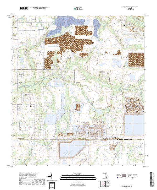
1956 Fort Lonesome
Hillsborough County, FL

1956 Gandy Bridge
Hillsborough County, FL
1956 Port Tampa
Hillsborough County, FL
1956 Sulphur Springs
Hillsborough County, FL
1964 Egmont Key
Hillsborough County, FL
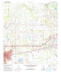
1975 Plant City East
Hillsborough County, FL
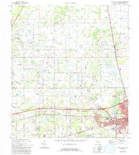
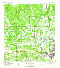
1975 Plant City West
Hillsborough County, FL

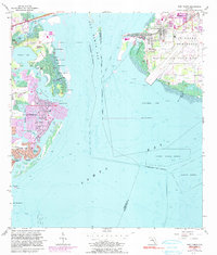
1981 St Petersburg
Hillsborough County, FL

1994 Plant City East
Hillsborough County, FL

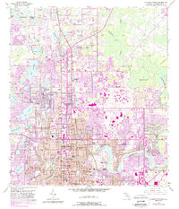
1995 Sulphur Springs
Hillsborough County, FL

1998 Gandy Bridge
Hillsborough County, FL
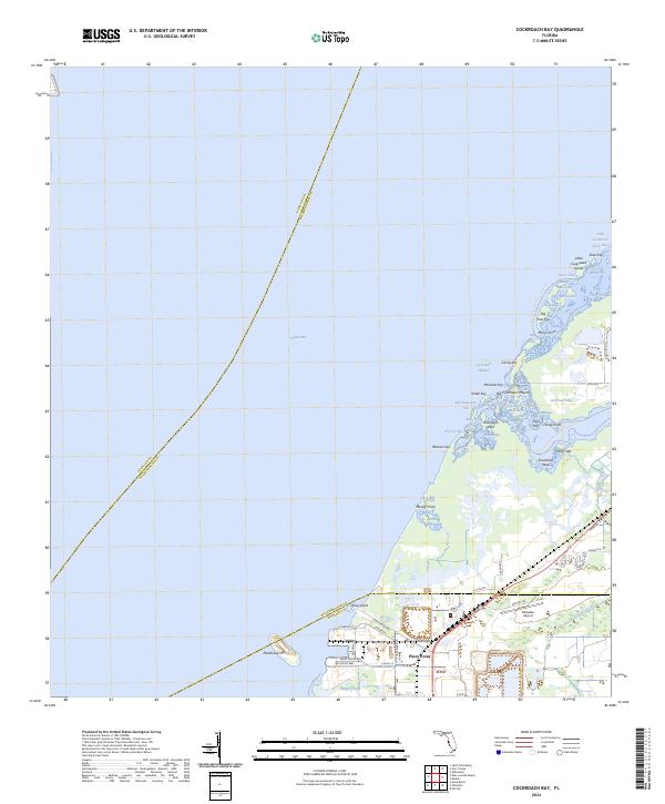
2024 Cockroach Bay
Hillsborough County, FL
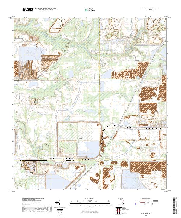
2024 Duette NE
Hillsborough County, FL
2024 Fort Lonesome
Hillsborough County, FL

2024 Gandy Bridge
Hillsborough County, FL
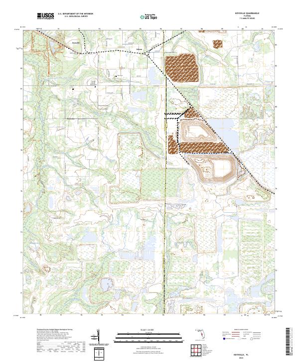
2024 Keysville
Hillsborough County, FL

2024 Lithia
Hillsborough County, FL
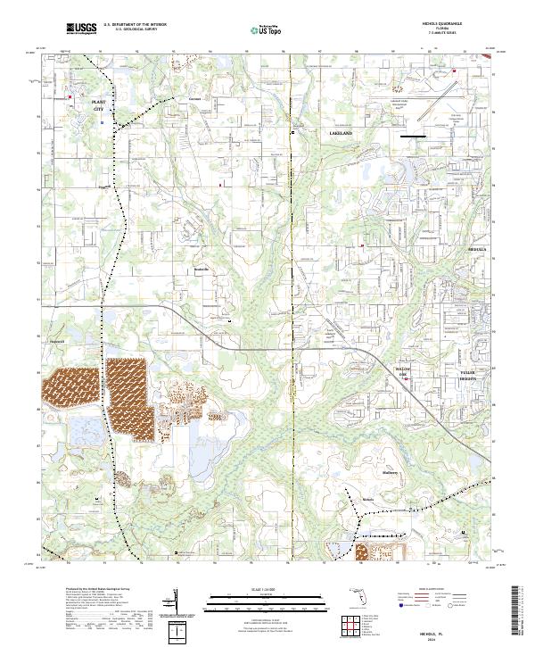
2024 Nichols
Hillsborough County, FL
2024 Plant City East
Hillsborough County, FL
2024 Plant City West
Hillsborough County, FL

2024 Port Tampa
Hillsborough County, FL

2024 Sulphur Springs
Hillsborough County, FL
2025 Egmont Key
Hillsborough County, FL