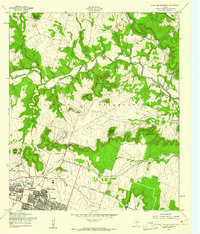
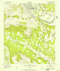
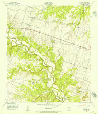
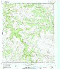
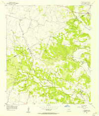
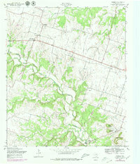
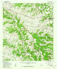
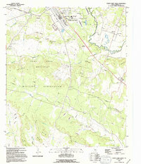
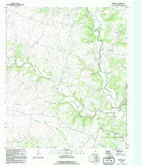
1958 Map of Post Oak Mountain
USGS Topo · Published 1961This historical map portrays the area of Post Oak Mountain in 1958, primarily covering Coryell County as well as portions of Bell County. Featuring a scale of 1:24000, this map provides a highly detailed snapshot of the terrain, roads, buildings, counties, and historical landmarks in the Post Oak Mountain region at the time. Published in 1961, it is one of 2 known editions of this map due to revisions or reprints.
Find a feature on this map
43 named features on this map. Tap any name to fly to it.
Don’t see what you’re looking for? This feature index may not catch every label — zoom into the map to look around manually.
Map Details
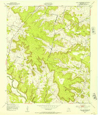
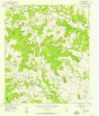
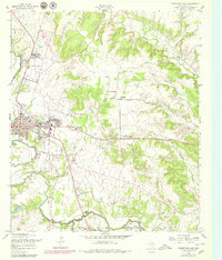
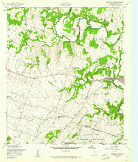
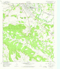
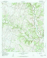
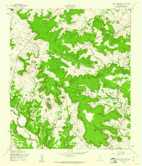
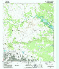
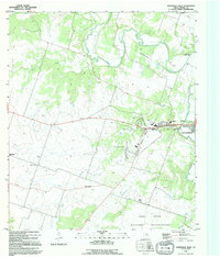
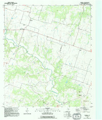
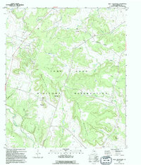
Editions of this 1958 Post Oak Mountain Map
2 editions found
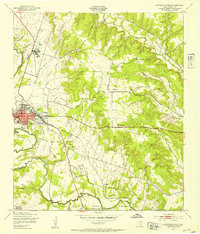
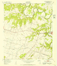
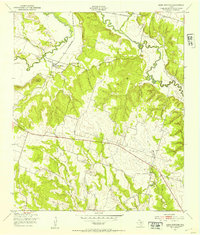
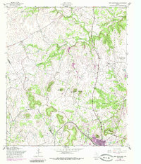
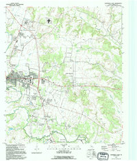
Historical Maps of Wainwright Heights EXP Through Time
35 maps found
1947 Gatesville East
Coryell County, TX
1947 Gatesville West
Coryell County, TX
1947 Leon Junction
Coryell County, TX
1947 North Fort Hood
Coryell County, TX
1947 Pidcoke
Coryell County, TX
1947 Post Oak Mountain
Coryell County, TX
1947 Purmela
Coryell County, TX
1947 Purmela
Coryell County, TX
1947 Shell Mountains
Coryell County, TX
1947 Twin Moutains
Coryell County, TX
1954 Gatesville West
Coryell County, TX
1954 Izoro
Coryell County, TX
1954 Pearl
Coryell County, TX
1955 Ater
Coryell County, TX
1955 Turnersville
Coryell County, TX
1956 Jonesboro
Coryell County, TX
1957 Gatesville East
Coryell County, TX
1957 Gatesville West
Coryell County, TX
1957 Leon Junction
Coryell County, TX
1957 Purmela
Coryell County, TX
1958 North Fort Hood
Coryell County, TX
1958 Pidcoke
Coryell County, TX
1958 Post Oak Mountain
Coryell County, TX
1958 Purmela
Coryell County, TX
1958 Shell Mountains
Coryell County, TX
1958 Twin Mountains
Coryell County, TX
1994 Gatesville East
Coryell County, TX
1994 North Fort Hood
Coryell County, TX
1994 Post Oak Mountain
Coryell County, TX
1995 Gatesville West
Coryell County, TX
1995 Leon Junction
Coryell County, TX
1995 Pidcoke
Coryell County, TX
1995 Purmela
Coryell County, TX
1995 Shell Mountains
Coryell County, TX
1995 Twin Mountains
Coryell County, TX