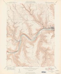
1949 Map of Renovo West
USGS Topo · Published 1949About this map
The West Branch Susquehanna River carves a dramatic path through the high plateaus of Clinton County, defining the industrial and transport corridor of the late 1940s. The Pennsylvania Railroad tracks parallel the river, serving the core settlements of Renovo, West Renovo, and South Renovo. This river-level activity contrasts sharply with the surrounding uplands like Drury Ridge and Leidy, where names like Coal Hill hint at the local extraction history. To the west, the settlement of Westport sits at the confluence of the river and Kettle Creek, a vital junction for local travel. Genealogists will find significant value in the mapped locations of St Josephs Cem, Noyes Cem, and Robbins Cem, while the Bucktail Trail provides the primary overland connection through this mountainous terrain.
Find a feature on this map
73 named features on this map. Tap any name to fly to it.
Don’t see what you’re looking for? This feature index may not catch every label — zoom into the map to look around manually.
Map Details
Editions of this 1949 Renovo West Map
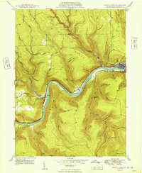
2 editions found
Other maps of this area

1921 · Howard
USGS Topo · 1:48,000

1923 · Howard
USGS Topo · 1:62,500

1928 · Snow Shoe
USGS Topo · 1:48,000

1931 · Show Shoe
USGS Topo · 1:62,500

1943 · Hyner
USGS Topo · 1:62,500

1946 · Young Womans Creek
USGS Topo · 1:24,000

1946 · Renovo East
USGS Topo · 1:62,500

1946 · Renovo West
USGS Topo · 1:62,500

1946 · Hammersley Fork
USGS Topo · 1:24,000

1946 · Keating
USGS Topo · 1:24,000
Featured Places
- Leidy Township, PA
- West Renovo, Noyes Township
- Westport, Noyes Township
- Noyes Township, PA
- Drury Run, Noyes Township