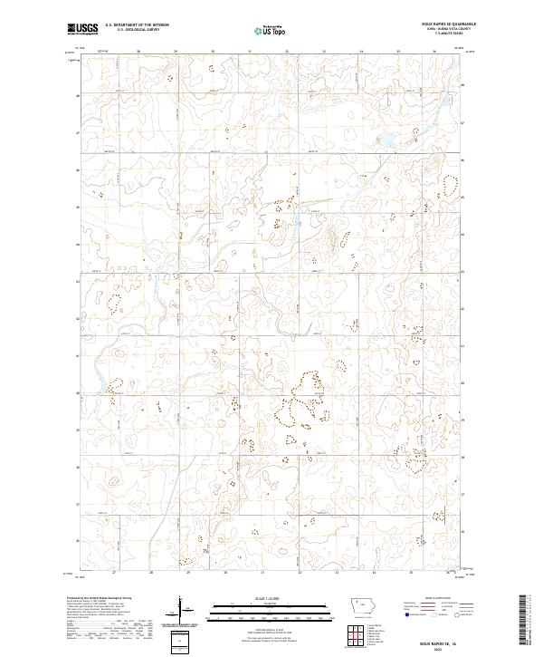
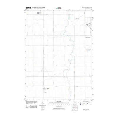
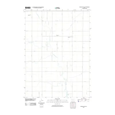
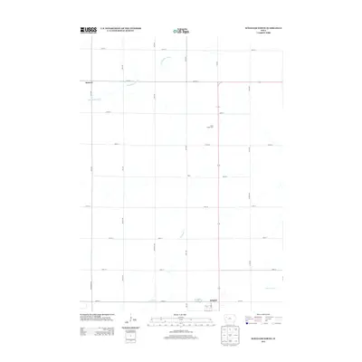
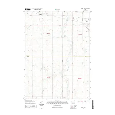
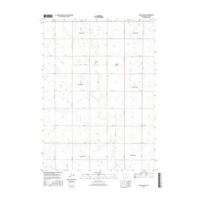
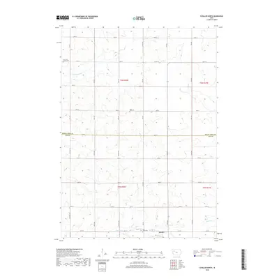
2022 Map of Sioux Rapids SE
USGS Topo · Published 2022About this map
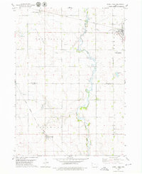
The N Raccoon River defines the drainage of this section of Buena Vista County, cutting a meandering path through the central and northeastern sections of the township. In this modern era of agricultural management, the landscape is organized by a precise grid of rural routes including Co Hwy M50 and 500th St, reflecting the enduring structure of the Public Land Survey System. The map documents the spatial relationship between the river valley and the elevated farm lands, with minor tributaries and wetlands scattered across the terrain. While the area is primarily rural, the density of numbered roads such as 150th Ave and 200th Ave illustrates the continued accessibility and partition of this Northwest Iowa farmland in the early twenty-first century.
Find a feature on this map
20 named features on this map. Tap any name to fly to it.
Don’t see what you’re looking for? This feature index may not catch every label — zoom into the map to look around manually.
Map Details
Editions of this 2022 Sioux Rapids SE Map
This is the sole edition of this map. No revisions or reprints were ever made.
Historical Maps of Buena Vista County Through Time
36 maps found
1971 Peterson SE
Buena Vista County, IA
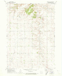
1971 Sioux Rapids SE
Buena Vista County, IA
1979 Newell East
Buena Vista County, IA
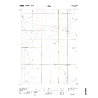
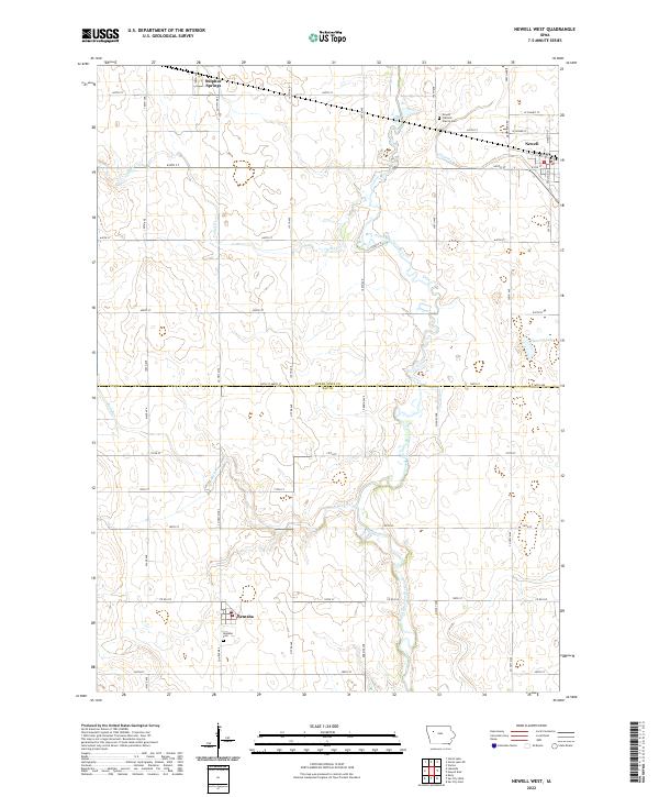
1979 Newell West
Buena Vista County, IA
1979 Schaller North
Buena Vista County, IA
1979 Storm Lake NE
Buena Vista County, IA
2010 Newell East
Buena Vista County, IA
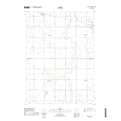
2010 Newell West
Buena Vista County, IA
2010 Peterson SE
Buena Vista County, IA
2010 Schaller North
Buena Vista County, IA
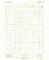
2010 Sioux Rapids SE
Buena Vista County, IA
2010 Storm Lake NE
Buena Vista County, IA
2013 Newell East
Buena Vista County, IA
2013 Newell West
Buena Vista County, IA
2013 Peterson SE
Buena Vista County, IA
2013 Schaller North
Buena Vista County, IA
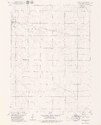
2013 Sioux Rapids SE
Buena Vista County, IA
2013 Storm Lake NE
Buena Vista County, IA
2015 Newell East
Buena Vista County, IA
2015 Newell West
Buena Vista County, IA
2015 Peterson SE
Buena Vista County, IA
2015 Schaller North
Buena Vista County, IA
2015 Sioux Rapids SE
Buena Vista County, IA
2015 Storm Lake NE
Buena Vista County, IA
2018 Newell East
Buena Vista County, IA
2018 Newell West
Buena Vista County, IA
2018 Peterson SE
Buena Vista County, IA
2018 Schaller North
Buena Vista County, IA
2018 Sioux Rapids SE
Buena Vista County, IA
2018 Storm Lake NE
Buena Vista County, IA
2022 Newell East
Buena Vista County, IA
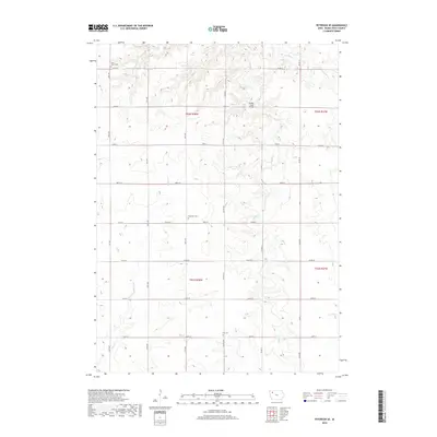
2022 Newell West
Buena Vista County, IA
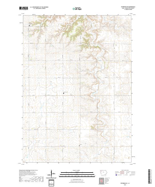
2022 Peterson SE
Buena Vista County, IA
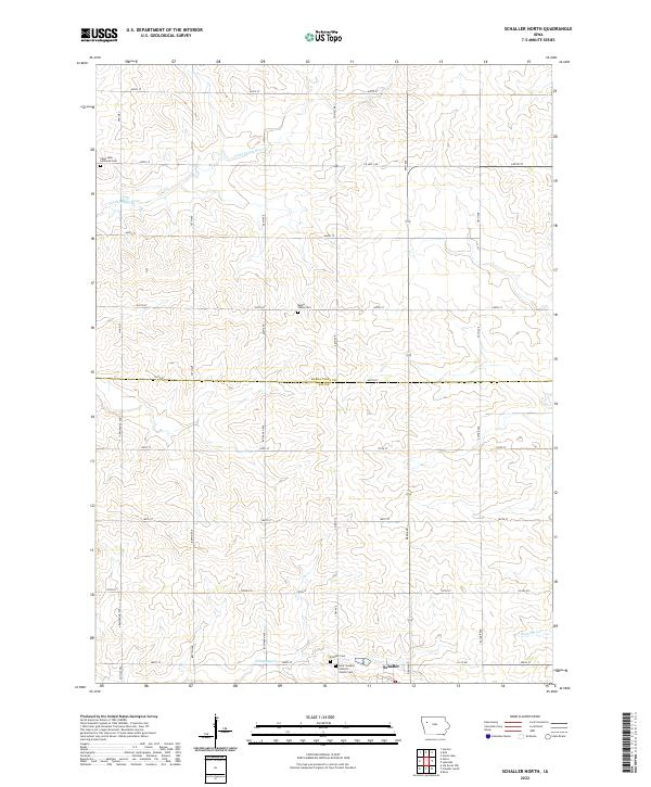
2022 Schaller North
Buena Vista County, IA
2022 Sioux Rapids SE
Buena Vista County, IA
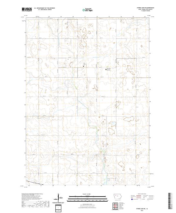
2022 Storm Lake NE
Buena Vista County, IA