
2022 Map of Smokemont
USGS Topo · Published 2022About this map
Great Smoky Mountains National Park dominates this terrain, where the Oconaluftee River and Bradley Fork carve deep through the southern Appalachians. The map reveals a dense concentration of family and community burial sites, many reflecting the specific social and family histories of the region, such as Tom Huskey's Child Cem, Noland Children Cem, and the Enloe Slave Cem. These sites, often located near former homesteads along the tributaries of Mingus Cr and Chasteen Cr, provide critical touchstones for genealogists tracing families who resided here before the park's establishment.
Find a feature on this map
119 named features on this map. Tap any name to fly to it.
Don’t see what you’re looking for? This feature index may not catch every label — zoom into the map to look around manually.
Map Details
Editions of this 2022 Smokemont Map
This is the sole edition of this map. No revisions or reprints were ever made.
Historical Maps of Tow String Through Time
44 maps found

1933 Bryson
Swain County, NC

1933 Bushnell
Swain County, NC

1936 Alarka
Swain County, NC

1936 Bryson
Swain County, NC

1936 Bunches Bald
Swain County, NC

1936 Judson
Swain County, NC

1936 Proctor
Swain County, NC

1936 Ravensford
Swain County, NC

1936 Wesser
Swain County, NC

1940 Alarka
Swain County, NC

1940 Bryson
Swain County, NC

1940 Judson
Swain County, NC

1940 Proctor
Swain County, NC
1940 Wesser
Swain County, NC

1941 Alarka
Swain County, NC

1941 Bryson
Swain County, NC

1941 Judson
Swain County, NC

1941 Proctor
Swain County, NC
1961 Noland Creek
Swain County, NC

1961 Tuskeegee
Swain County, NC
1961 Wesser
Swain County, NC

1964 Bunches Bald
Swain County, NC
1964 Clingmans Dome
Swain County, NC
1964 Silers Bald
Swain County, NC

1964 Smokemont
Swain County, NC
1964 Thunderhead Mtn
Swain County, NC

1976 Bunches Bald
Swain County, NC

1976 Clingmans Dome
Swain County, NC

1976 Noland Creek
Swain County, NC

1976 Silers Bald
Swain County, NC

1976 Tuskeegee
Swain County, NC

1976 Wesser
Swain County, NC

2000 Bunches Bald
Swain County, NC

2000 Clingmans Dome
Swain County, NC

2000 Smokemont
Swain County, NC
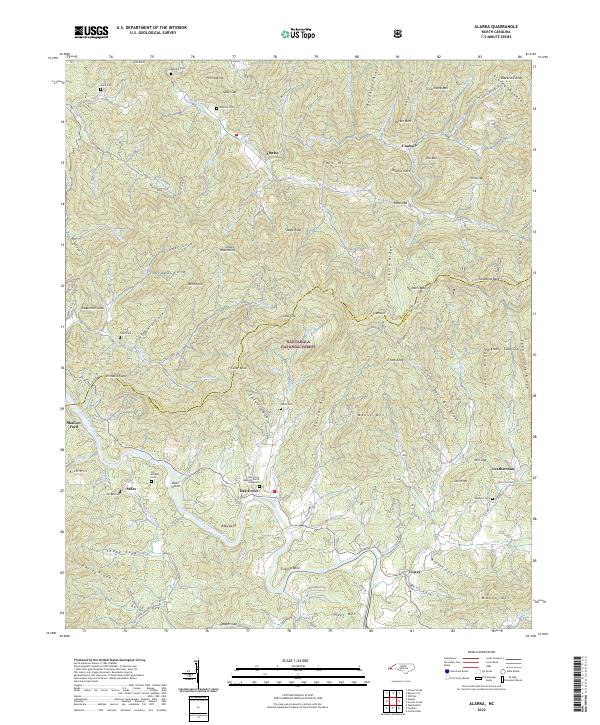
2022 Alarka
Swain County, NC
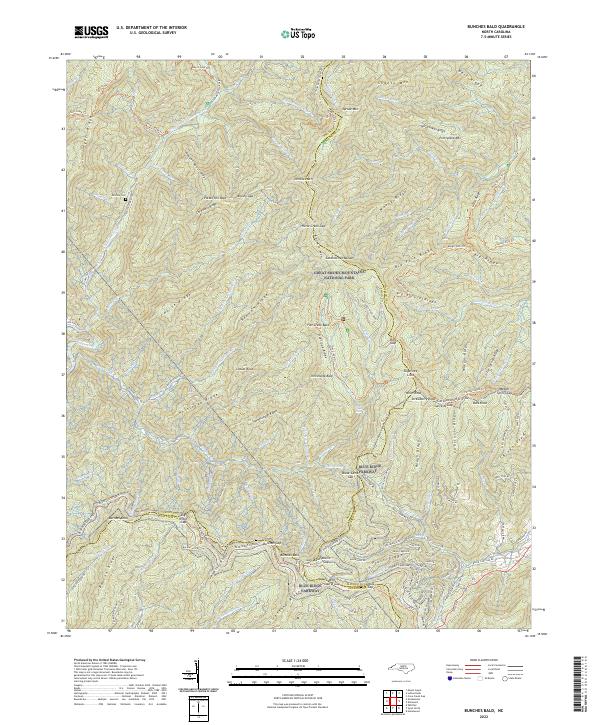
2022 Bunches Bald
Swain County, NC
2022 Kuwohi
Swain County, NC
2022 Noland Creek
Swain County, NC
2022 Silers Bald
Swain County, NC
2022 Smokemont
Swain County, NC
2022 Thunderhead Mountain
Swain County, NC
2022 Wesser
Swain County, NC
2023 Tuskeegee
Swain County, NC
Featured Locations
- Yellowhill Community, NC
- Big Cove Community, NC
- Birdtown Community, NC
- Tow String, NC
- Ravensford, Yellowhill Community