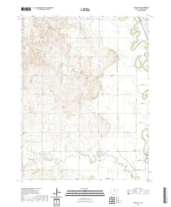
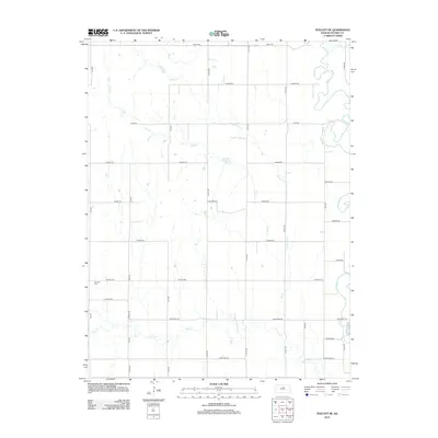
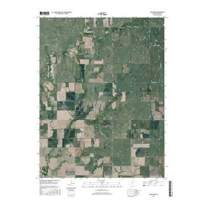
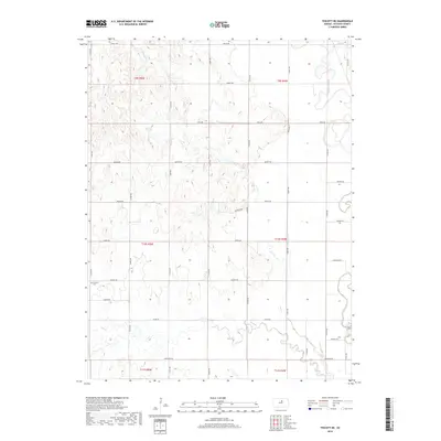
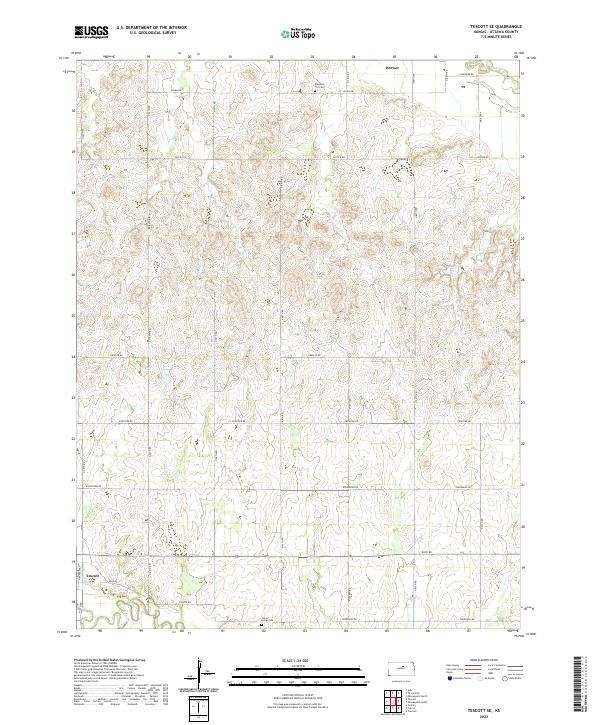
2022 Map of Tescott NE
USGS Topo · Published 2022About this map
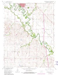
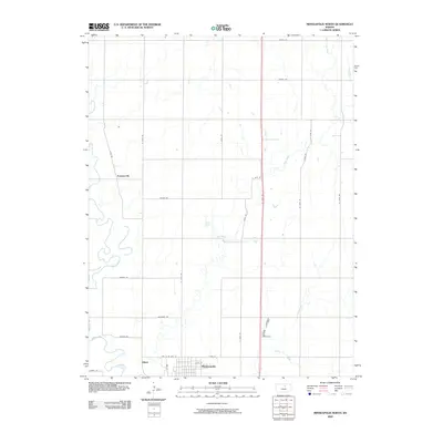
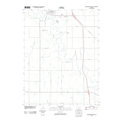
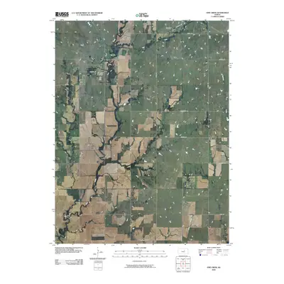
The Solomon River meanders through the eastern portion of this Ottawa County landscape, carving a wide valley floor contrasted by the dissected uplands to the west. This territory is defined by a systematic grid of section-line roads, many bearing names that reflect the local heritage and geography, such as Treaty Rd, Postrock Rd, and Pioneer Rd. These routes provide access to the agricultural interior where Limestone Cr and Lost Cr drain the higher elevations.
Find a feature on this map
29 named features on this map. Tap any name to fly to it.
Don’t see what you’re looking for? This feature index may not catch every label — zoom into the map to look around manually.
Map Details
Editions of this 2022 Tescott NE Map
This is the sole edition of this map. No revisions or reprints were ever made.
Historical Maps of Ottawa County Through Time
36 maps found
1961 Tescott NE
Ottawa County, KS
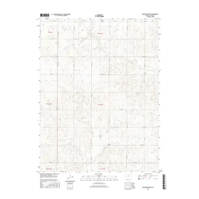
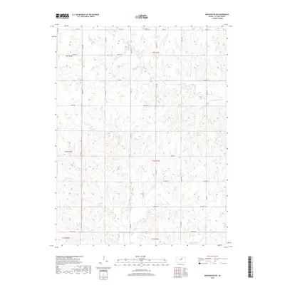
1965 Manchester NW
Ottawa County, KS
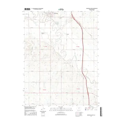
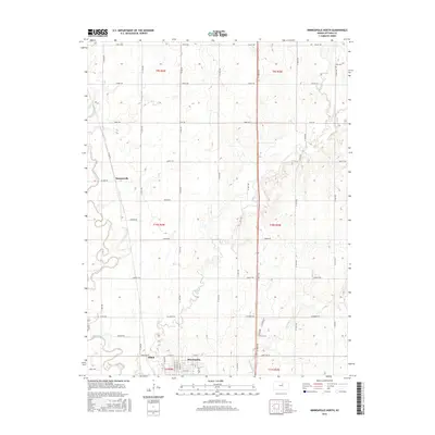
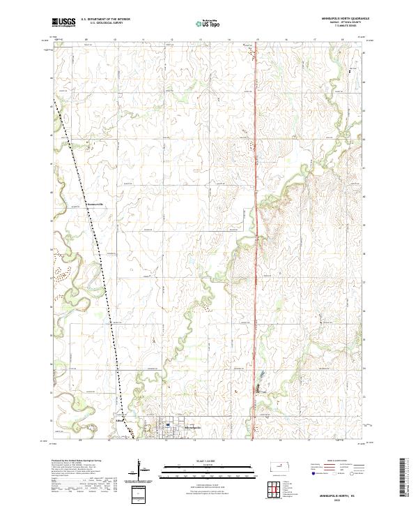
1965 Minneapolis North
Ottawa County, KS
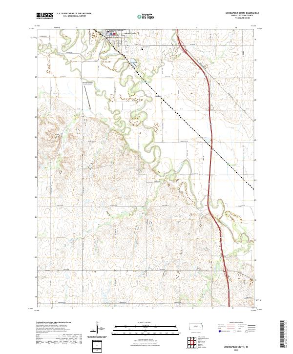
1965 Minneapolis South
Ottawa County, KS
1965 Tescott SE
Ottawa County, KS
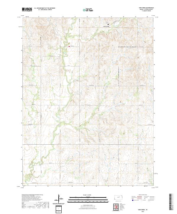
1965 Vine Creek
Ottawa County, KS
2009 Manchester NW
Ottawa County, KS
2009 Minneapolis North
Ottawa County, KS
2009 Minneapolis South
Ottawa County, KS
2009 Tescott NE
Ottawa County, KS
2009 Tescott SE
Ottawa County, KS
2009 Vine Creek
Ottawa County, KS
2012 Manchester NW
Ottawa County, KS
2012 Minneapolis North
Ottawa County, KS
2012 Minneapolis South
Ottawa County, KS
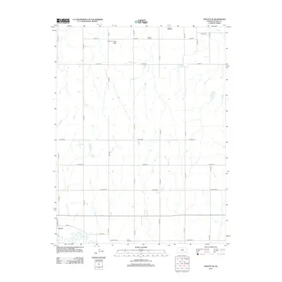
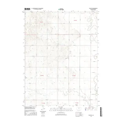
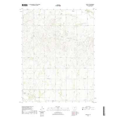
2012 Tescott NE
Ottawa County, KS
2012 Tescott SE
Ottawa County, KS
2012 Vine Creek
Ottawa County, KS
2015 Manchester NW
Ottawa County, KS
2015 Minneapolis South
Ottawa County, KS
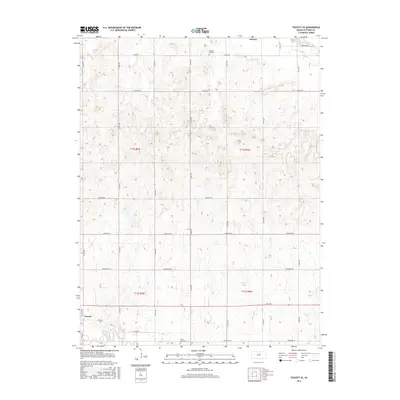
2015 Tescott NE
Ottawa County, KS
2015 Tescott SE
Ottawa County, KS
2015 Vine Creek
Ottawa County, KS
2016 Minneapolis North
Ottawa County, KS
2018 Manchester NW
Ottawa County, KS
2018 Minneapolis North
Ottawa County, KS
2018 Minneapolis South
Ottawa County, KS
2018 Tescott NE
Ottawa County, KS
2018 Tescott SE
Ottawa County, KS
2018 Vine Creek
Ottawa County, KS
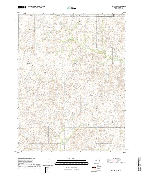
2022 Manchester NW
Ottawa County, KS
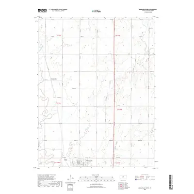
2022 Minneapolis North
Ottawa County, KS
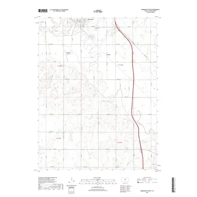
2022 Minneapolis South
Ottawa County, KS
2022 Tescott NE
Ottawa County, KS
2022 Tescott SE
Ottawa County, KS
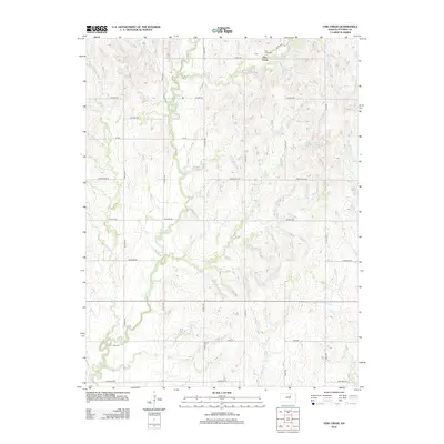
2022 Vine Creek
Ottawa County, KS