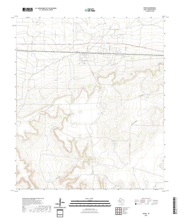
2022 Map of Texon
USGS Topo · Published 2022This historical map portrays the area of Texon in 2022, primarily covering Reagan County. Featuring a scale of 1:24000, this map provides a highly detailed snapshot of the terrain, roads, buildings, counties, and historical landmarks in the Texon region at the time. Published in 2022, it is the sole known edition of this map.
Map Details
Editions of this 2022 Texon Map
This is the sole edition of this map. No revisions or reprints were ever made.
Historical Maps of Santa Rita Through Time
30 maps found
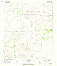
1970 Best
Reagan County, TX
1970 Divide Draw
Reagan County, TX
1970 Gardener Draw
Reagan County, TX
1970 Garrison Draw
Reagan County, TX
1970 Moore Hill
Reagan County, TX
1970 South Mustang Draw NE
Reagan County, TX
1970 South Mustang Draw SE
Reagan County, TX
1970 Stiles NW
Reagan County, TX
1970 Stiles
Reagan County, TX
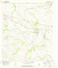
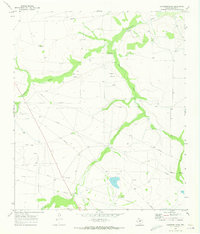
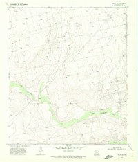
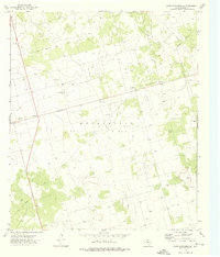
1970 Texon
Reagan County, TX
1971 Witco
Reagan County, TX
1973 Saint Lawrence SE
Reagan County, TX
1973 Slager Lake
Reagan County, TX
1973 Three Bluff Draw
Reagan County, TX
1973 Three Bluff Draw SW
Reagan County, TX
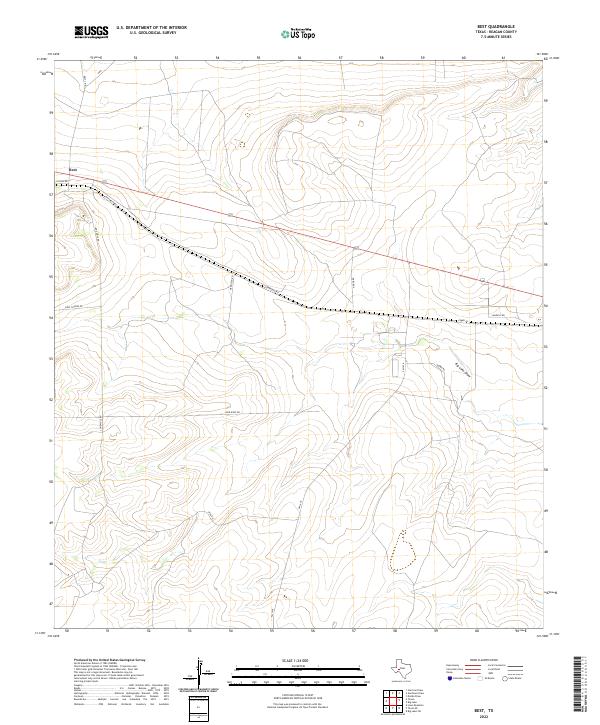
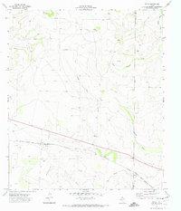
2022 Best
Reagan County, TX
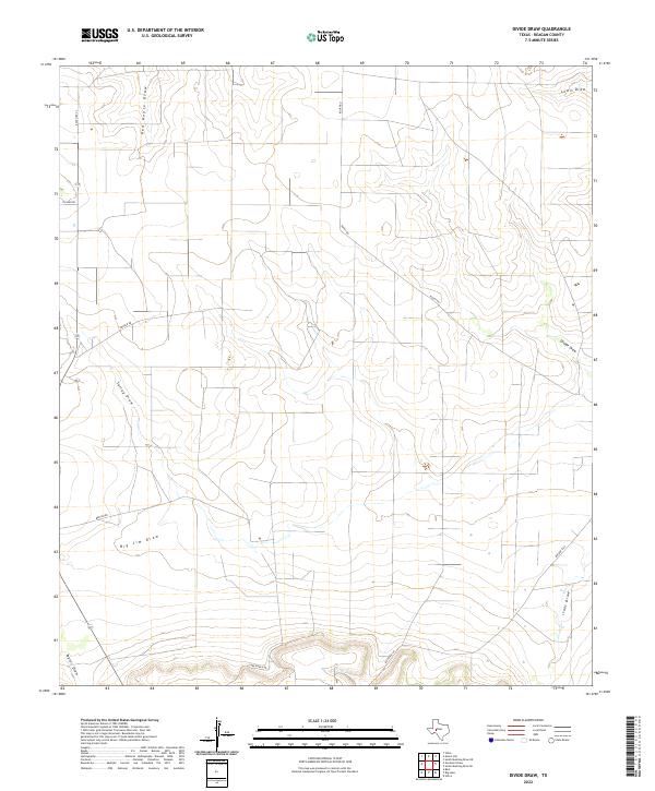
2022 Divide Draw
Reagan County, TX
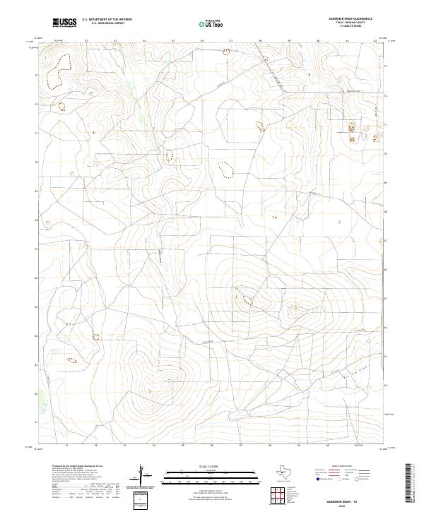
2022 Gardener Draw
Reagan County, TX
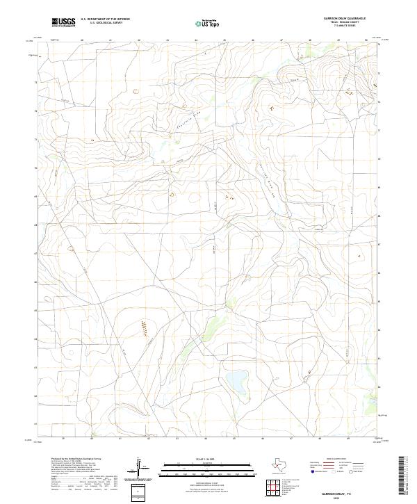
2022 Garrison Draw
Reagan County, TX
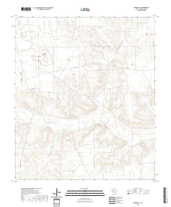
2022 Moore Hill
Reagan County, TX
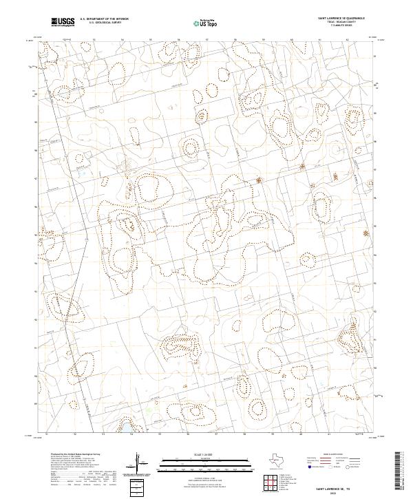
2022 Saint Lawrence SE
Reagan County, TX
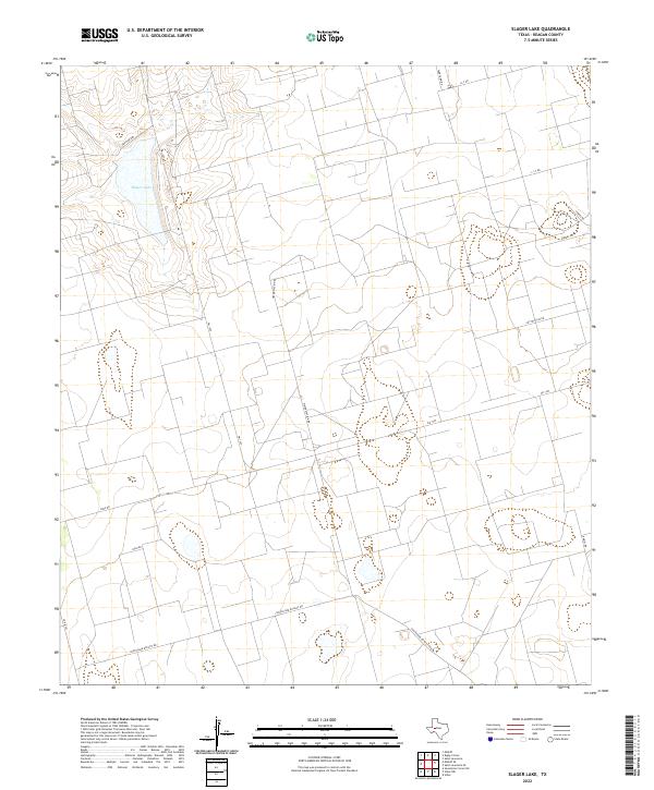
2022 Slager Lake
Reagan County, TX
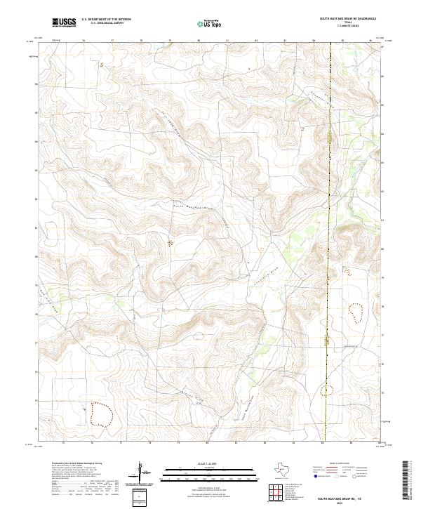
2022 South Mustang Draw NE
Reagan County, TX
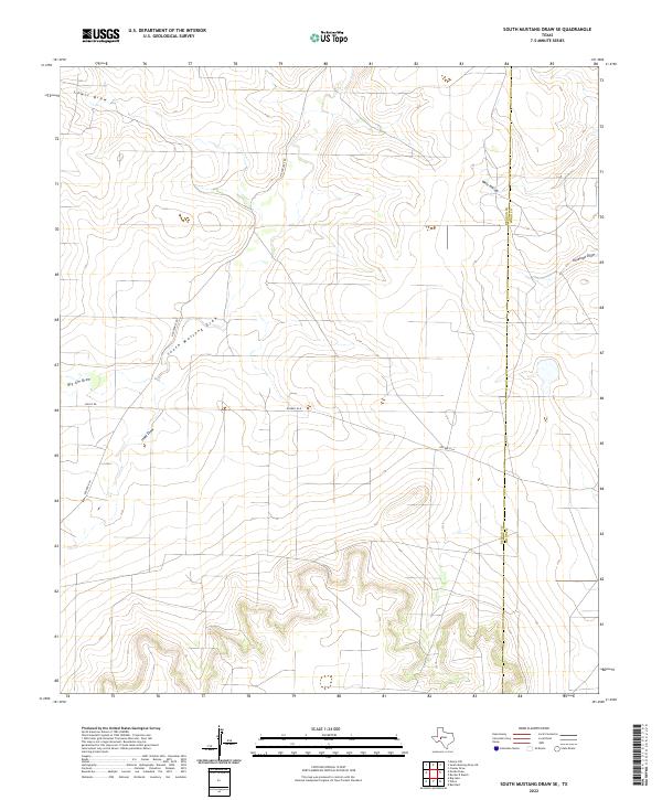
2022 South Mustang Draw SE
Reagan County, TX
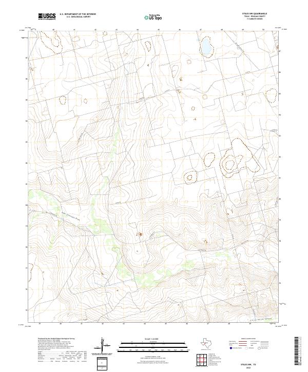
2022 Stiles NW
Reagan County, TX
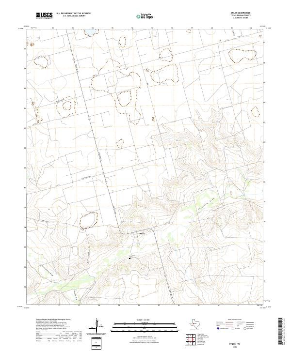
2022 Stiles
Reagan County, TX
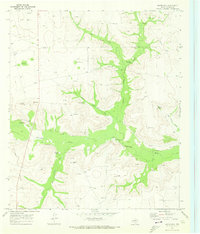
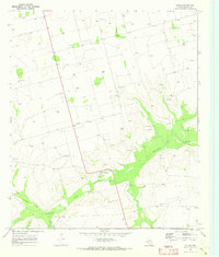
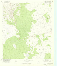
2022 Texon
Reagan County, TX
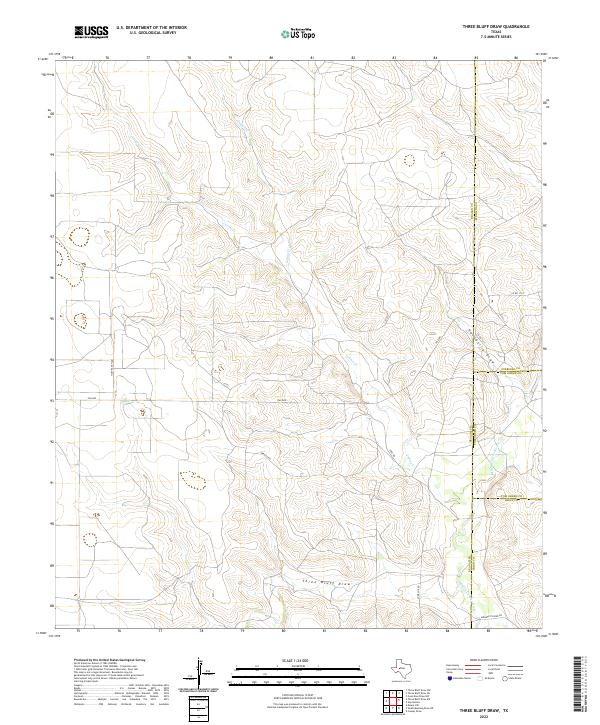
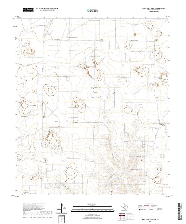
2022 Three Bluff Draw
Reagan County, TX
2022 Three Bluff Draw SW
Reagan County, TX
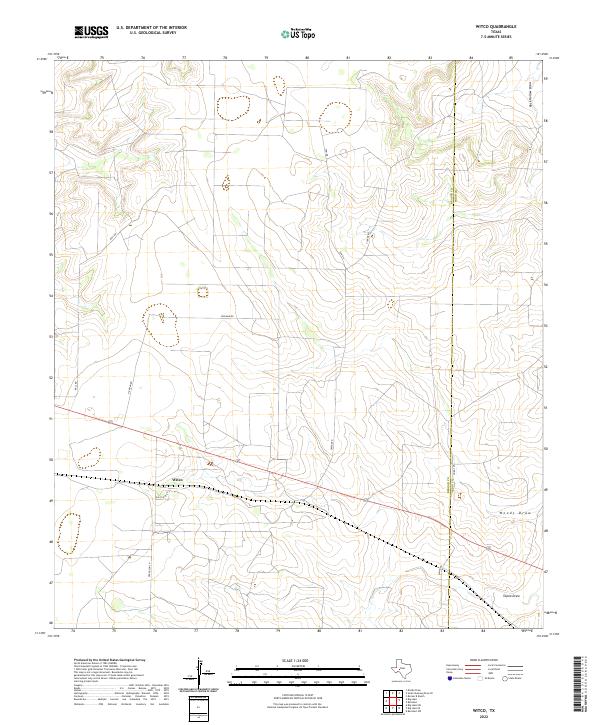
2022 Witco
Reagan County, TX