
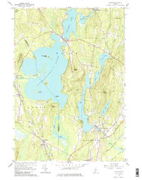
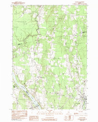
2024 Map of Togus Pond
USGS Topo · Published 2024About this map
Augusta and the surrounding Kennebec County landscape appear here in 2024, anchored by the Kennebec River in the northwest and a dense network of inland waters to the east. The settlement of Togus is a central focal point, serving as the site for significant veteran history with both the Togus National Cem East and Togus National Cem West clearly marked. These grounds reflect the area's long-standing role in veterans' affairs.
Find a feature on this map
100 named features on this map. Tap any name to fly to it.
Don’t see what you’re looking for? This feature index may not catch every label — zoom into the map to look around manually.
Map Details
Editions of this 2024 Togus Pond Map
This is the sole edition of this map. No revisions or reprints were ever made.
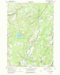
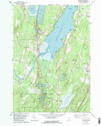
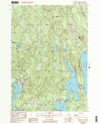
Historical Maps of Riverside Drive Village Through Time
49 maps found
1893 Vassalboro
Kennebec County, ME

1898 Vassalboro
Kennebec County, ME
1941 Vassalboro
Kennebec County, ME

1943 Vassalboro
Kennebec County, ME
1956 Vassalboro
Kennebec County, ME
1966 Fayette
Kennebec County, ME
1966 Wayne
Kennebec County, ME
1970 East Pittston
Kennebec County, ME

1975 Burnham SW
Kennebec County, ME

1975 Norridgewock SE
Kennebec County, ME

1975 Norridgewock SW
Kennebec County, ME

1975 Vassalboro NE
Kennebec County, ME

1975 Vassalboro NW
Kennebec County, ME

1975 Vassalboro SE
Kennebec County, ME

1975 Vassalboro SW
Kennebec County, ME

1975 Waterville NE
Kennebec County, ME

1975 Waterville SE
Kennebec County, ME

1975 Waterville SW
Kennebec County, ME
1980 Belgrade
Kennebec County, ME

1980 Purgatory
Kennebec County, ME

1980 Readfield
Kennebec County, ME

1980 Winthrop
Kennebec County, ME

1982 Albion
Kennebec County, ME
1982 Belgrade Lakes
Kennebec County, ME
1982 Clinton
Kennebec County, ME
1982 Fairfield
Kennebec County, ME

1982 Rome
Kennebec County, ME
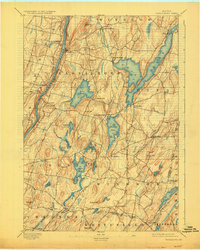
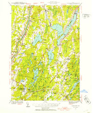
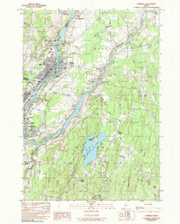
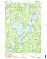
1982 Togus Pond
Kennebec County, ME
1982 Weeks Mills
Kennebec County, ME
1983 China Lake
Kennebec County, ME
1983 Vassalboro
Kennebec County, ME

2000 Readfield
Kennebec County, ME

2000 Winthrop
Kennebec County, ME
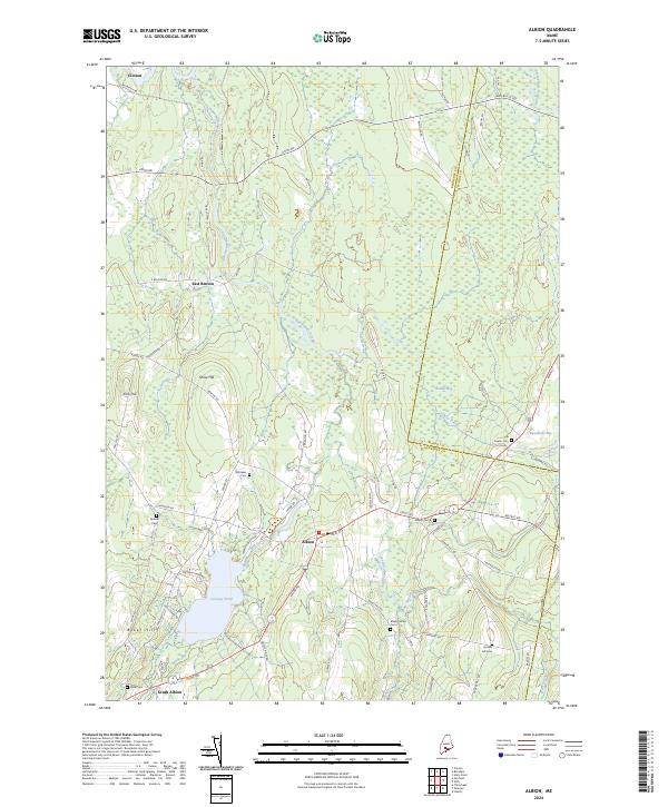
2024 Albion
Kennebec County, ME
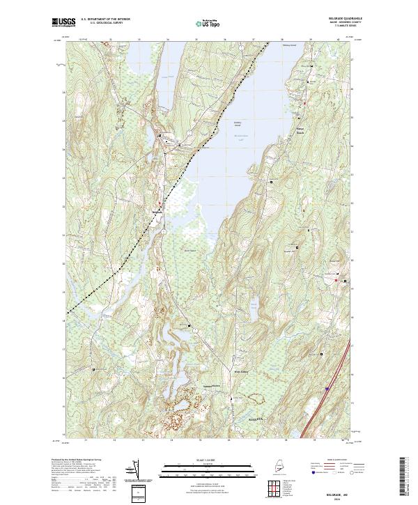
2024 Belgrade
Kennebec County, ME
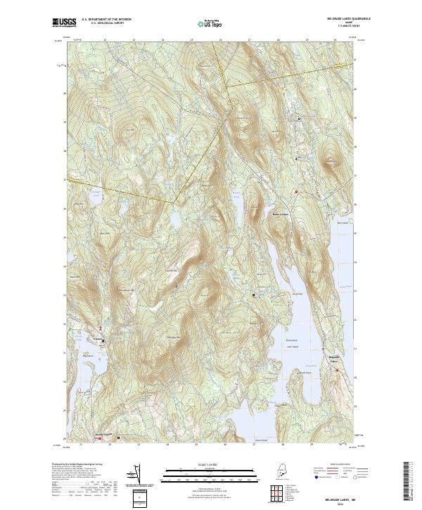
2024 Belgrade Lakes
Kennebec County, ME
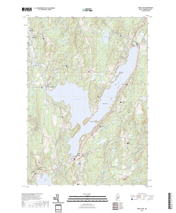
2024 China Lake
Kennebec County, ME
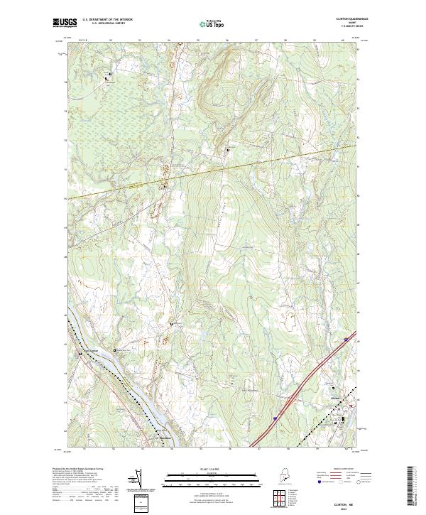
2024 Clinton
Kennebec County, ME
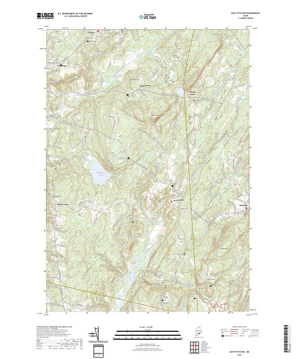
2024 East Pittston
Kennebec County, ME
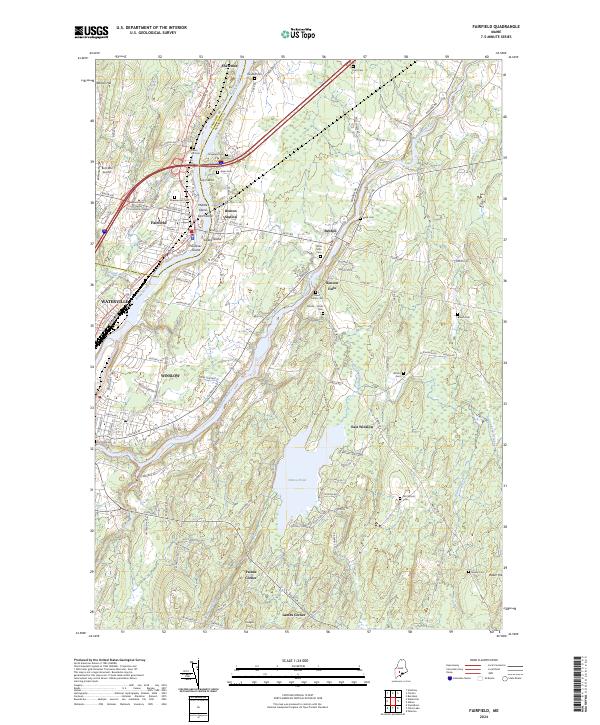
2024 Fairfield
Kennebec County, ME
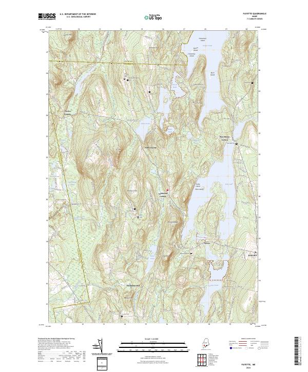
2024 Fayette
Kennebec County, ME
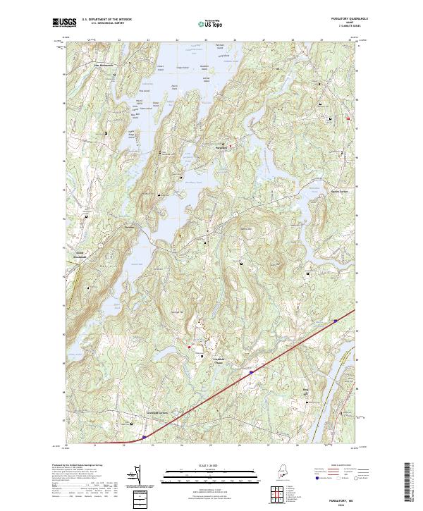
2024 Purgatory
Kennebec County, ME
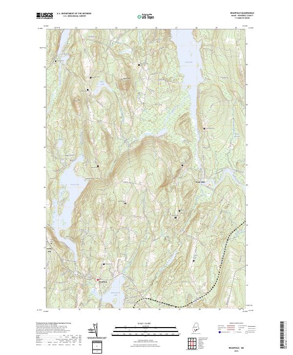
2024 Readfield
Kennebec County, ME
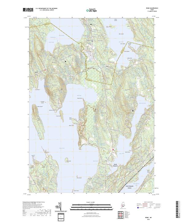
2024 Rome
Kennebec County, ME
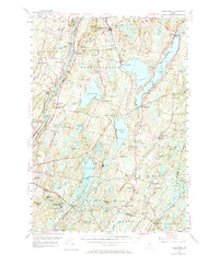
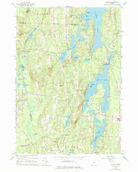
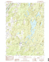
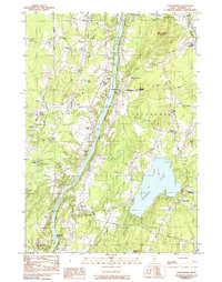
2024 Togus Pond
Kennebec County, ME
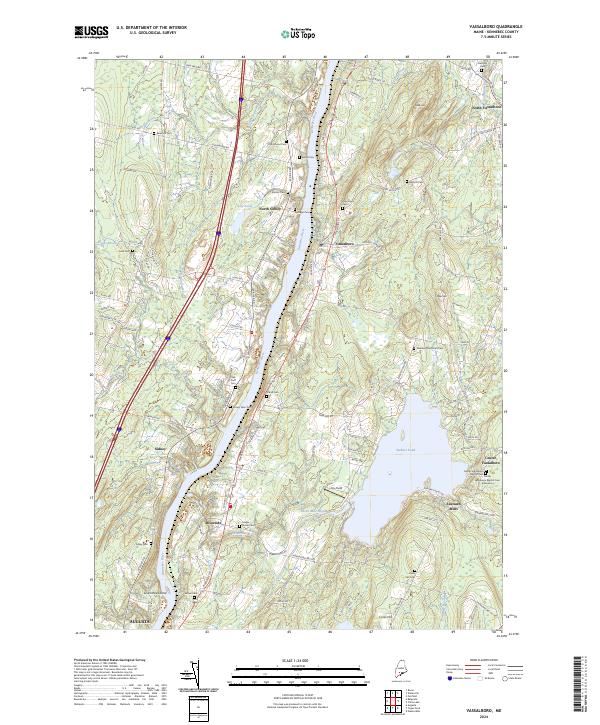
2024 Vassalboro
Kennebec County, ME
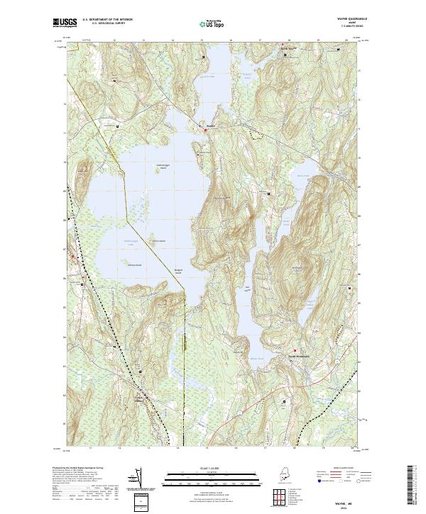
2024 Wayne
Kennebec County, ME

2024 Weeks Mills
Kennebec County, ME
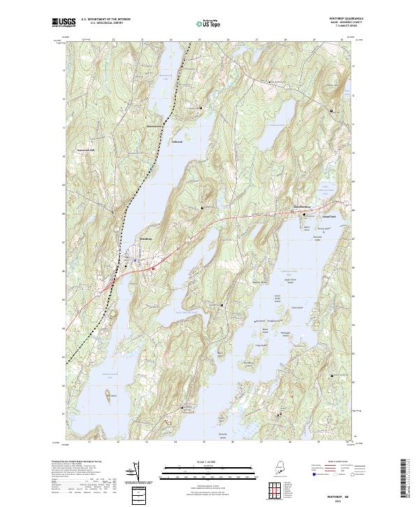
2024 Winthrop
Kennebec County, ME