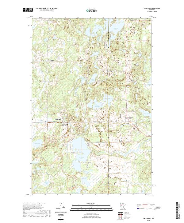
2022 Map of Two Inlets
USGS Topo · Published 2022About this map
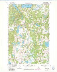
Two Inlets and Arago anchor this landscape of the glacial lake country along the Becker and Hubbard county line. The terrain is defined by a dense concentration of water bodies, including Two Inlets Lake, Little Mantrap Lake, and the complex shorelines of the Hungry Man Lakes. These waters are connected by a network of drainage systems like Dinner Creek and Basswood Cr.
Find a feature on this map
67 named features on this map. Tap any name to fly to it.
Don’t see what you’re looking for? This feature index may not catch every label — zoom into the map to look around manually.
Map Details
Editions of this 2022 Two Inlets Map
This is the sole edition of this map. No revisions or reprints were ever made.
Historical Maps of Two Inlets Through Time
35 maps found

1918 Flom
Becker County, MN
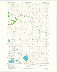
1959 Flat Lake
Becker County, MN
1959 Height Of Land Lake
Becker County, MN
1959 Richwood
Becker County, MN
1959 Rochert
Becker County, MN
1959 Toad Mountain
Becker County, MN
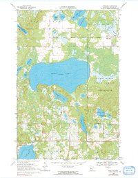
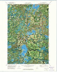
1966 Big Cormorant Lake
Becker County, MN
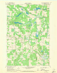
1966 Flom SE
Becker County, MN
1966 Tilde Lake
Becker County, MN
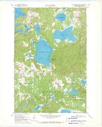
1969 Big Basswood Lake
Becker County, MN
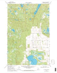
1969 Big Rush Lake
Becker County, MN
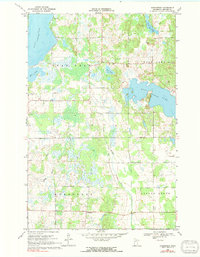
1969 Evergreen
Becker County, MN
1969 Many Point Lake
Becker County, MN
1969 Park Rapids NW
Becker County, MN
1969 Park Rapids SW
Becker County, MN
1969 Ponsford
Becker County, MN
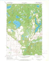
1969 Strawberry Lake
Becker County, MN
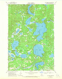
1972 Two Inlets
Becker County, MN
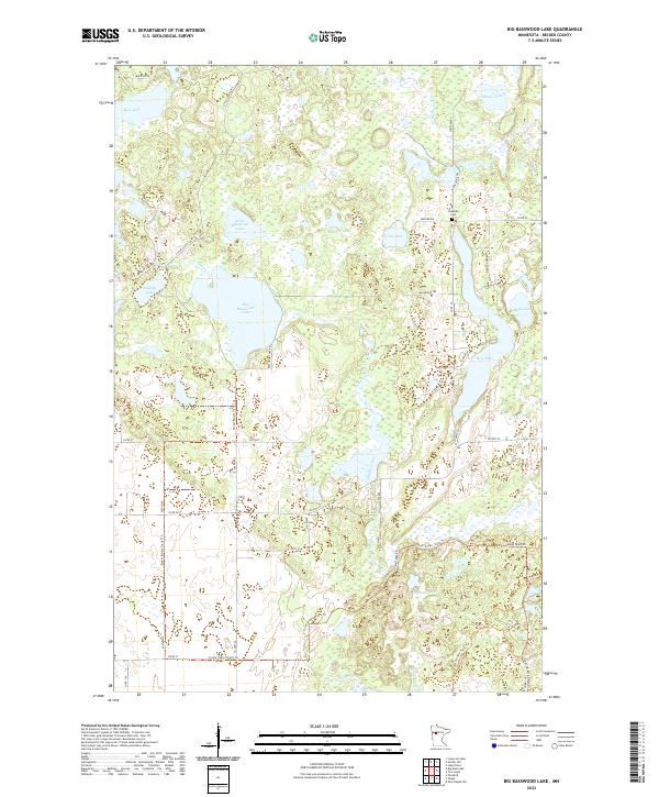
2022 Big Basswood Lake
Becker County, MN
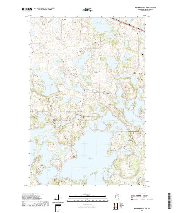
2022 Big Cormorant Lake
Becker County, MN
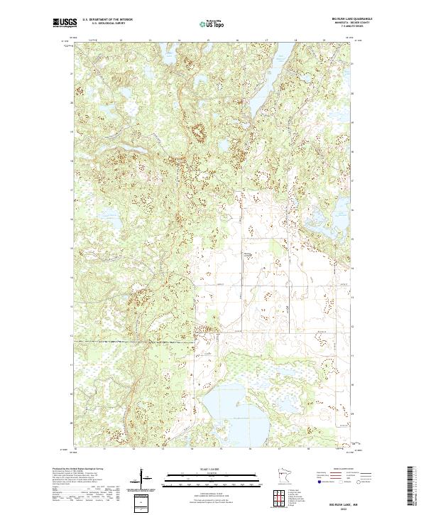
2022 Big Rush Lake
Becker County, MN
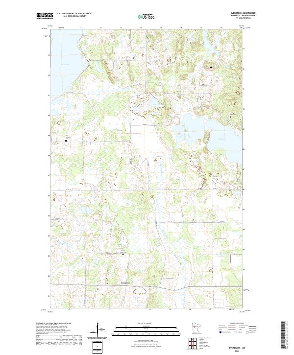
2022 Evergreen
Becker County, MN
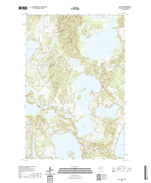
2022 Flat Lake
Becker County, MN
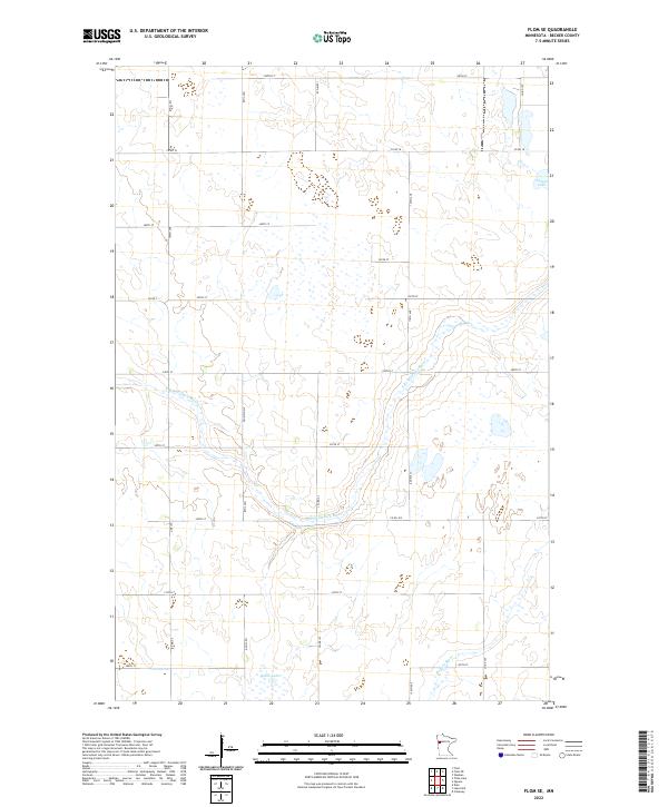
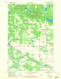
2022 Flom SE
Becker County, MN
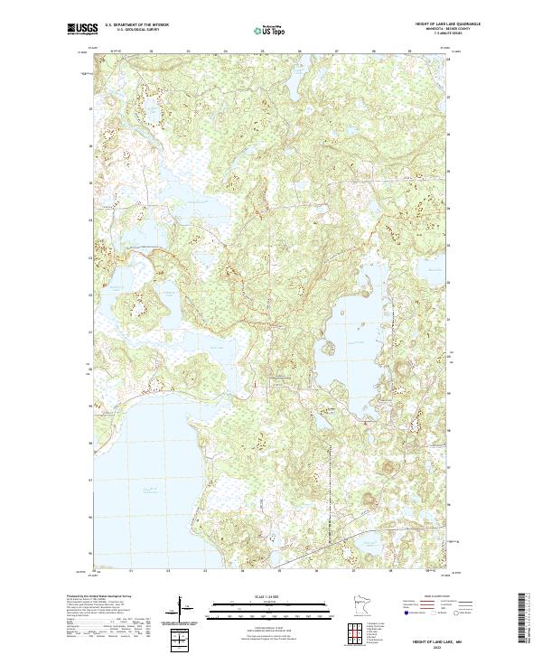
2022 Height of Land Lake
Becker County, MN
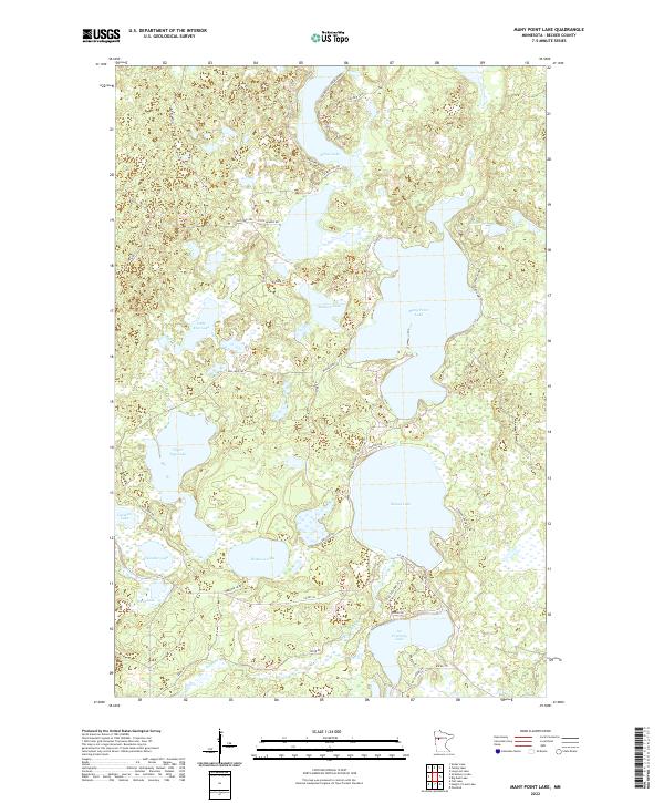
2022 Many Point Lake
Becker County, MN
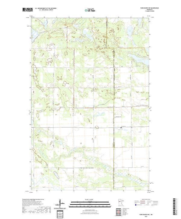
2022 Park Rapids NW
Becker County, MN
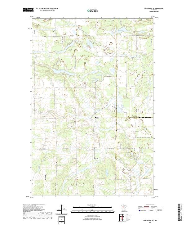
2022 Park Rapids SW
Becker County, MN
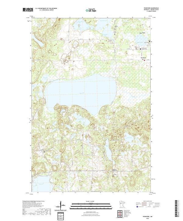
2022 Ponsford
Becker County, MN
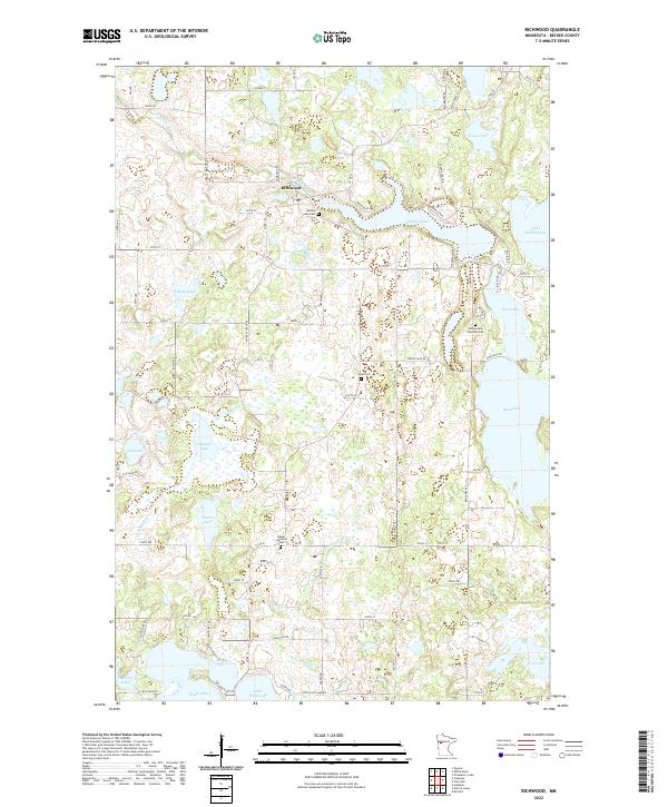
2022 Richwood
Becker County, MN
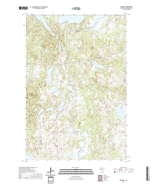
2022 Rochert
Becker County, MN
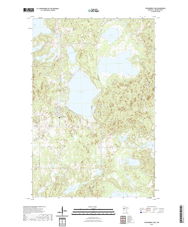
2022 Strawberry Lake
Becker County, MN
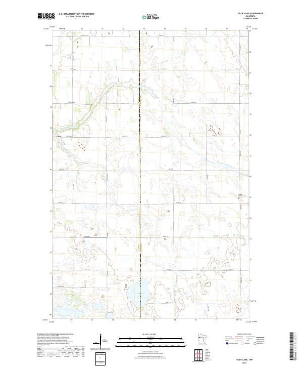
2022 Tilde Lake
Becker County, MN
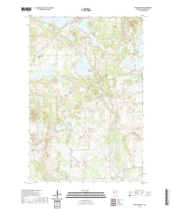
2022 Toad Mountain
Becker County, MN
2022 Two Inlets
Becker County, MN