2020s Maps of Gila County, Arizona
Explore 132 historic maps of Gila County from the 2020s. These maps offer a rare glimpse into what life looked like during the 2020s — showing old roads, neighborhoods, homes, and landmarks that have changed or disappeared over time.
Whether you're researching your family's past, planning a metal detecting trip, or studying how Gila County's landscape evolved across the 2020s, these high-resolution maps are a powerful tool for exploring the history of this region.
- Focus on a specific era: All maps on this page are from the 2020s, giving you a focused view of this time period.
- See what’s changed: Compare century-old streets, trails, and buildings to today's modern landscape using overlays and satellite layers.
- Research with precision: Use these maps for genealogy, historical research, land use analysis, or educational projects.
- View, download, or print: Maps are fully viewable online in high resolution, and can be downloaded or printed for your own records.
Start exploring Gila County's history through authentic maps from the 2020s. This is your window into the past.
Gila County, AZ maps
(132)- 2021 Map of Greenback Creek, 2021 Print
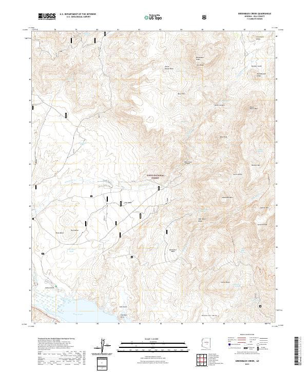 2021 Greenback Creek2021 Print · USGSGila County's desert interior comes into focus during the early twenty-first century as it borders the heights of the Sierra Ancha. Local historians can trace cattle-country landmarks like Cline Mesa, Greenback Tank, and the Lost Goldmine Trl near Tonto Basin.
 - 2021 Map of Reno Pass, 2021 Print
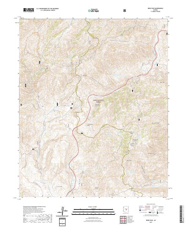 2021 Reno Pass2021 Print · USGSHigh-desert peaks and critical water sources define this Maricopa and Gila County borderland in 2021. Researchers can trace the path of the Arizona National Scenic Trl past landmarks like Mt Ord and the remote Reno Pass.
 - 2021 Map of Gentry Mountain, 2021 Print
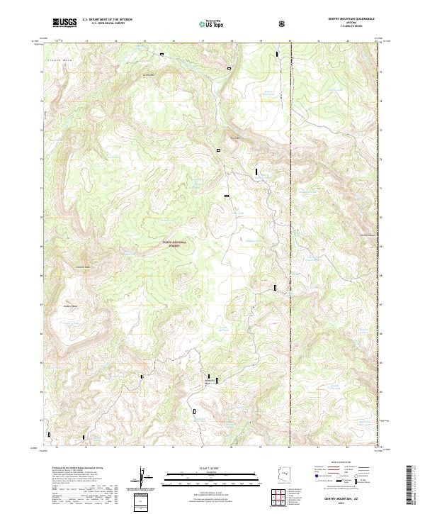 2021 Gentry Mountain2021 Print · USGSThe Gila County high country in the early twenty-first century remains a landscape of forest service roads and high-altitude water catchments. Researchers can trace the drainages of Gentry Canyon or locate landmark springs like Pine Spring and Brewer Spring.
 - 2021 Map of Two Bar Mountain, 2021 Print
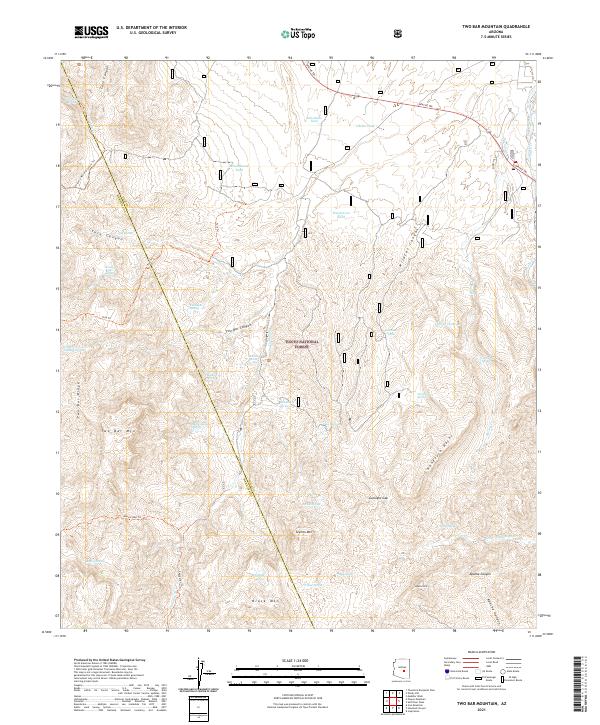 2021 Two Bar Mountain2021 Print · USGSThe Tonto National Forest landscape on the Gila and Maricopa County line is shown here in the modern era. Researchers can trace historic routes like Apache Trl and find remote water sources such as Monkey Spring and Schoolhouse Tank.
 - 2021 Map of Georges Butte, 2021 Print
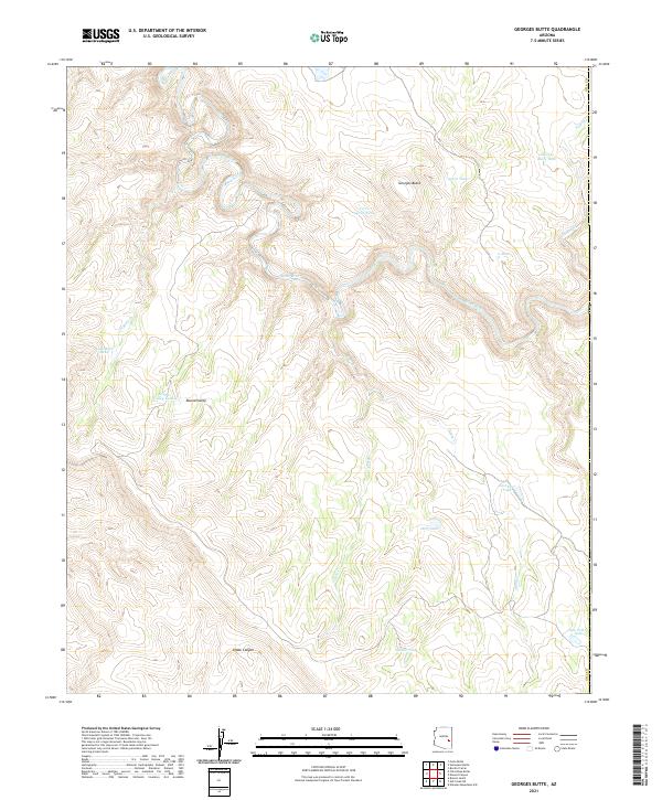 2021 Georges Butte2021 Print · USGSGila County ranching and water management are front and center in this modern topographic study of the high canyon country. Researchers can trace land use through named water features like Cerro Gordo Tank and the broad Round Valley.
 - 2021 Map of Long Tom Canyon, 2021 Print
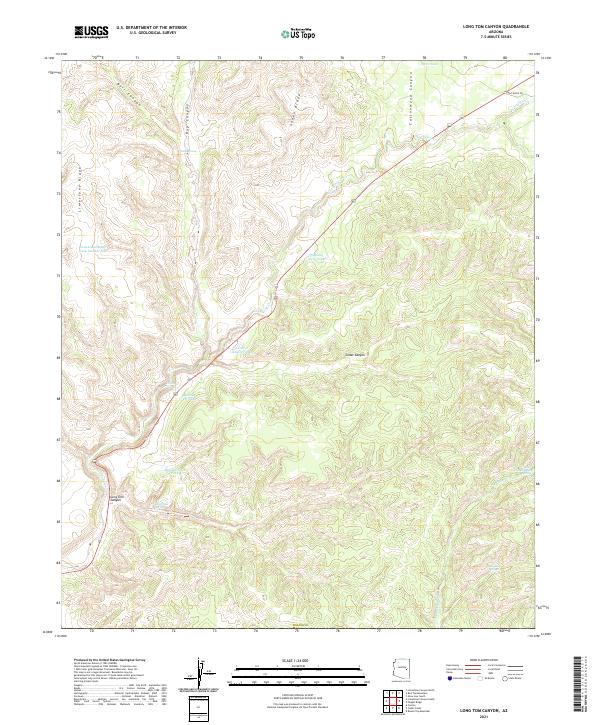 2021 Long Tom Canyon2021 Print · USGSNavajo County ranching lands and high ridges appear here in the early twenty-first century. Researchers can trace historic water sources and early access routes through landmarks like Long Tom Spring, Bear Playground Spring, and Faught Ridge Rd.
 - 2021 Map of Spotted Mountain, 2021 Print
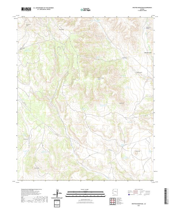 2021 Spotted Mountain2021 Print · USGSNavajo County's high-country terrain is captured in this recent survey, showcasing a landscape of ridges and deep canyons. Researchers can trace the network of vital water sources like Water Bag Spring and stock tanks near Spotted Mtn and Grasshopper Butte.
 - 2021 Map of O W Point, 2021 Print
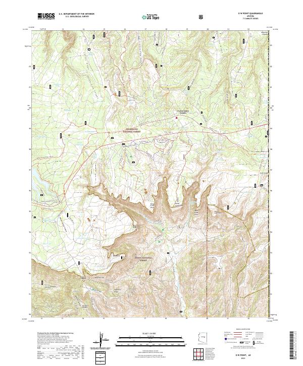 2021 O W Point2021 Print · USGSThe high plateau meets the deep canyons of central Arizona in this 2021 study of the Mogollon Rim. Genealogists and historians can trace family-named landmarks like Valentine Ridge and Colcord Mtn or locate the Fish Hatchery and Forest Lakes Estates.
 - 2021 Map of Oak Creek Ranch, 2021 Print
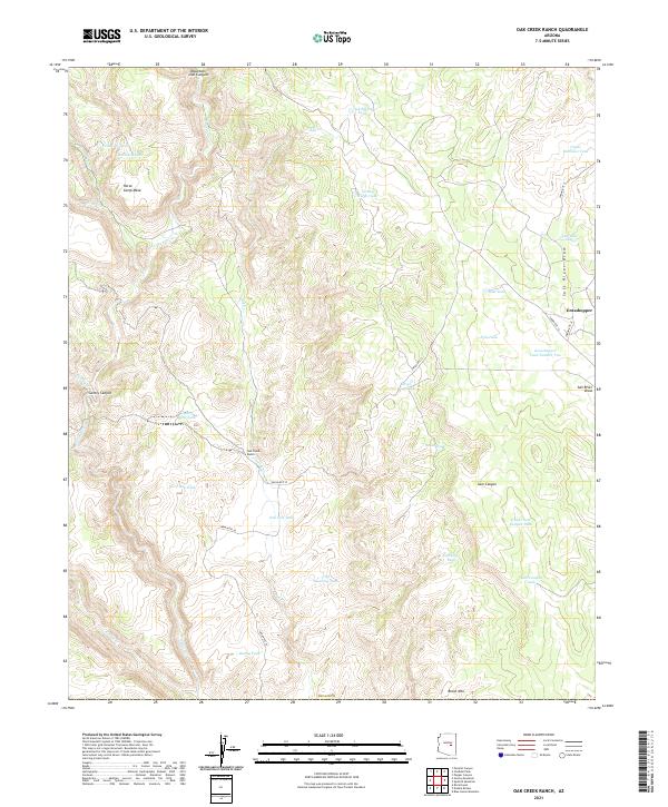 2021 Oak Creek Ranch2021 Print · USGSThe mesas and canyons of Navajo County are mapped here in the modern era, showing the remote settlement of Grasshopper and Oak Creek Ranch. Trace the essential water infrastructure of this cattle country through Cliff Dwelling Tank and Turkey Ridge Tank.
 - 2021 Map of Faught Ridge, 2021 Print
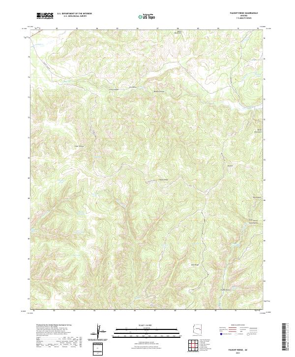 2021 Faught Ridge2021 Print · USGSNavajo County in the early twenty-first century is captured here as a landscape of high ridges and canyon drainages. Trace the remote network of wilderness water sources and backcountry routes like Twentyfour Dart Spring, Bear Playground Spring, and Faught Ridge Rd.
 - 2021 Map of Limestone Canyon South, 2021 Print
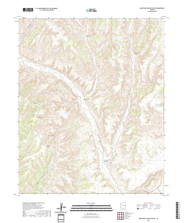 2021 Limestone Canyon South2021 Print · USGSNavajo County's high desert plateaus and deep canyon drainages are captured here in the early twenty-first century. Researchers can trace the rugged network of cattle tanks and remote springs, including Cedar Mesa Tanks, Rotten Spring, and Blue Spring.
 - 2021 Map of Double Buttes, 2021 Print
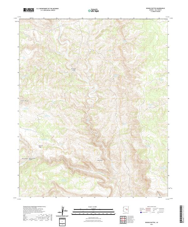 2021 Double Buttes2021 Print · USGSGila County's high-elevation desert is captured here in the early 2020s, showing a landscape defined by canyons and critical water catchments. Genealogists and historians can trace ranching landmarks like Mustang Ridge Tank, Number Twenty-six Spring, and the prominent Double Buttes.
 - 2021 Map of Oxbow Mountain, 2021 Print
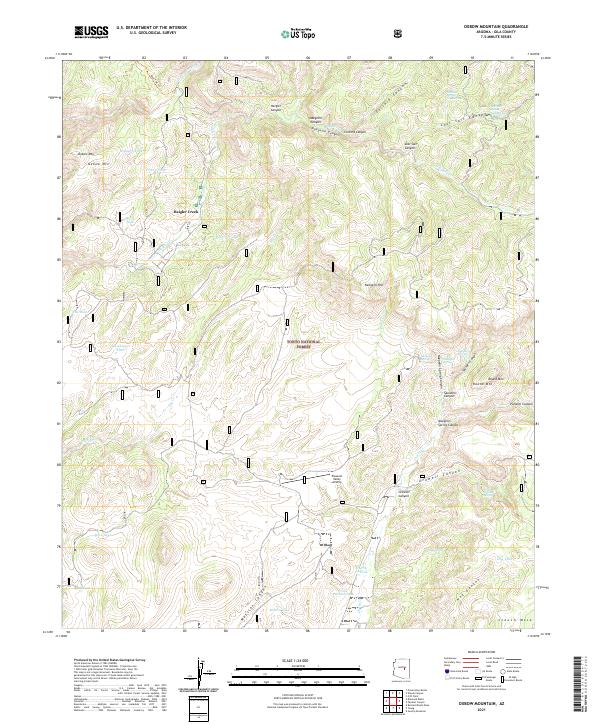 2021 Oxbow Mountain2021 Print · USGSTonto National Forest and the rugged canyons of Gila County are captured here in 2021. Tracing the high plateaus reveals the Pleasant Valley Airstrip, family-named water sources like McInturf Spring, and landmarks such as Oxbow Mtn.
 - 2021 Map of Young, 2021 Print
 2021 Young2021 Print · USGSThe mountain community of Young and the surrounding Pleasant Valley appear in this modern survey of the Tonto National Forest. Researchers can trace land use through named ranching landmarks like the Chapman Ranch Airstrip, Graveyard Canyon, and Peters Corral Canyon.
 - 2021 Map of Cibecue, 2021 Print
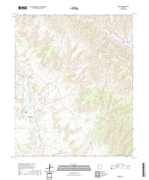 2021 Cibecue2021 Print · USGSCibecue and the surrounding Navajo County uplands are documented here in the early twenty-first century. Researchers can trace local landmarks and water sources from Cibecue Airport to remote features like Ice Cream Cone Tank and Cibecue Ridge.
 - 2021 Map of Parallel Canyon, 2021 Print
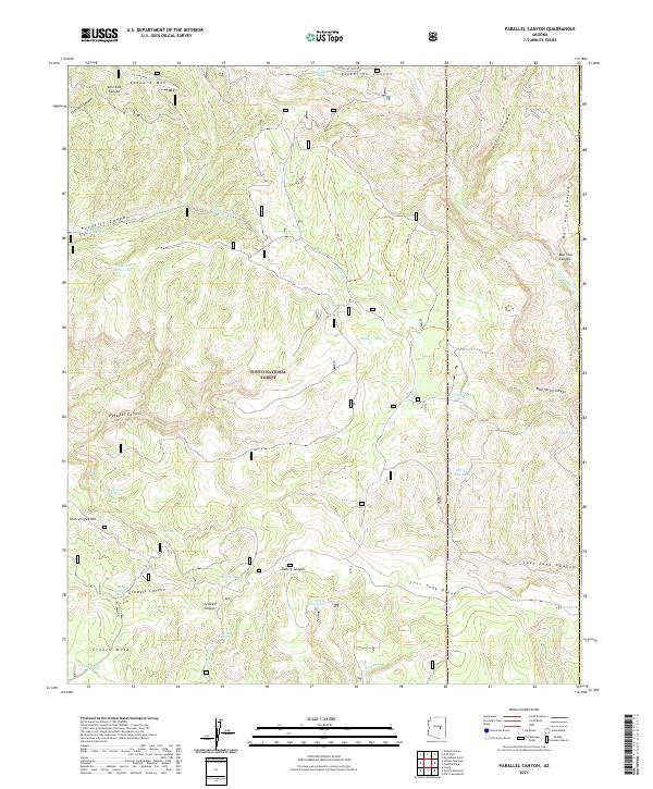 2021 Parallel Canyon2021 Print · USGSGila County's Mogollon Rim country is detailed here during the early twenty-first century, showing a landscape defined by ranching water works and deep canyons. Researchers can trace remote trails and springs like Valentine Trail, Crouch Mesa, and Ramer Tank.
 - 2021 Map of Blue House Mountain, 2021 Print
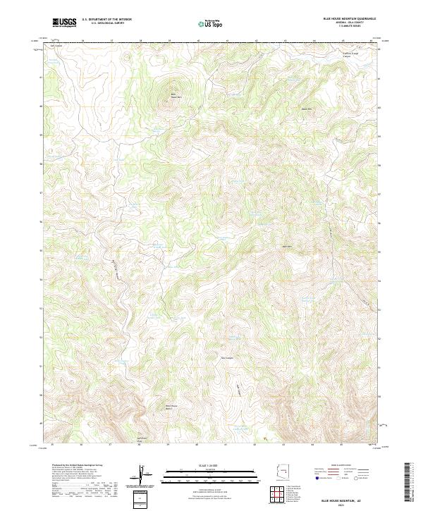 2021 Blue House Mountain2021 Print · USGSThe Gila County high country in 2021 remains a terrain of isolated summits and essential water catchments. Researchers can trace the drainage of Salt River Draw and locate specific points like Blue House Mtn or Navajo Spring.
 - 2021 Map of Hot Tamale Peak, 2021 Print
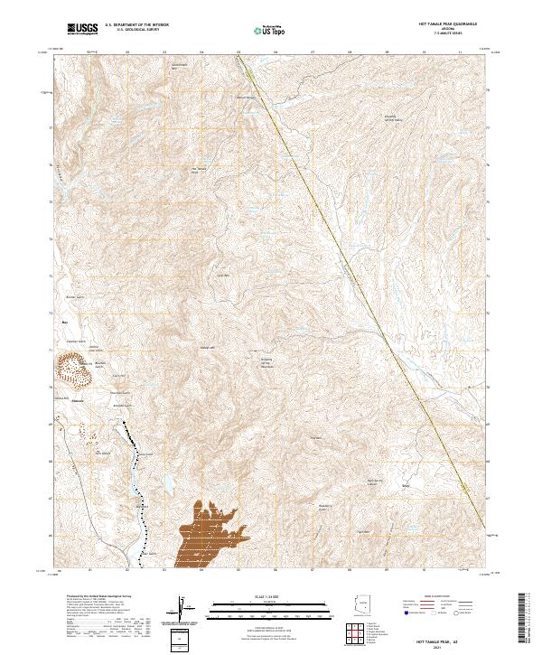 2021 Hot Tamale Peak2021 Print · USGSMining and mountain peaks define the Pinal and Gila county borderlands in the early 2020s. Researchers can trace the industrial footprint of the Pearl Handle Pit near Sonora or locate remote high-country landmarks like Hot Tamale Peak and Tiger Mtn.
 - 2021 Map of Christmas, 2021 Print
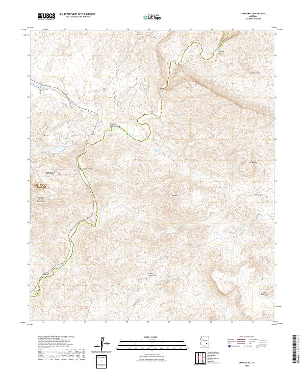 2021 Christmas2021 Print · USGSThe Pinal and Gila county line follows the winding Gila River during the early twenty-first century. Genealogists and historians can trace the topography of the Christmas settlement and explore named landmarks like Copper Canyon, The Tablelands, and Dripping Springs Valley.
 - 2021 Map of San Carlos Reservoir, 2021 Print
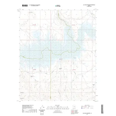 2021 San Carlos Reservoir2021 Print · USGSArizona's high desert landscape meets the northern waters of the reservoir in the early twenty-first century. Researchers can trace remote routes like Coolidge Dam Rd and locate prominent landmarks such as Mt Geronimo and Evans Spring.
 - 2021 Map of Popcorn Canyon, 2021 Print
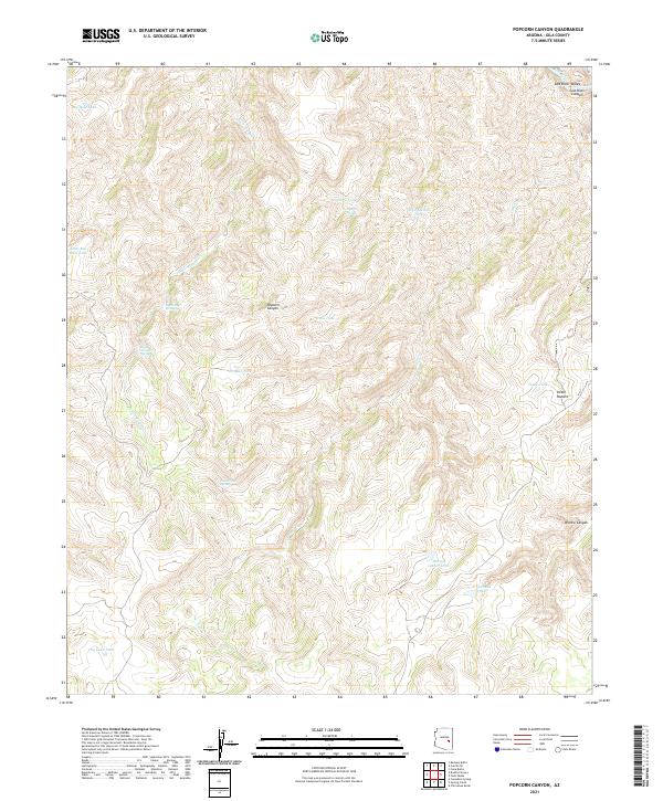 2021 Popcorn Canyon2021 Print · USGSGila County ranching and river lands are recorded here in the early twenty-first century. Researchers can trace historic water sources and landmarks like Victor Pasture, Popcorn Canyon, and the remote Salt River Canyon.
 - 2021 Map of Chiricahua Butte, 2021 Print
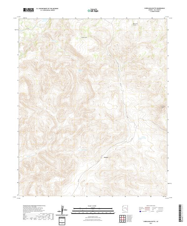 2021 Chiricahua Butte2021 Print · USGSGila County's high desert terrain is documented in this recent survey, showcasing the remote landscape south of the Salt River. Researchers can trace land boundaries across T3N R20E and locate water sources like Blue River Spring and Hospital Tank.
 - 2021 Map of Dagger Peak, 2021 Print
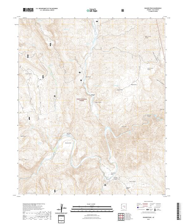 2021 Dagger Peak2021 Print · USGSThe Salt River corridor in Gila County is captured here in the early twenty-first century as it winds through deep canyons and national forest land. River runners and local historians can trace specific water features like Cliff Hanger Rapid and remote outposts such as Dagger and Redmond Flat.
 - 2021 Map of Forks Butte, 2021 Print
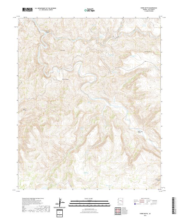 2021 Forks Butte2021 Print · USGSThe confluence of the Black and White Rivers comes to life in this contemporary study of Gila County ranching and canyon lands. Researchers can trace remote water sources and cattle landmarks like Victor Pasture, Sevenmile Rim, and Maverick Spring.
 - 2021 Map of San Carlos, 2021 Print
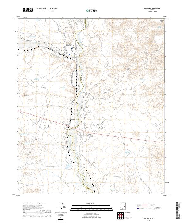 2021 San Carlos2021 Print · USGSThe community of San Carlos is documented here as it appeared in 2021, centered at the junction of the San Carlos River and Gilson Wash. Local historians can trace the development of the Gila Community College San Carlos Campus or locate remote landmarks like Hackberry Spring and Peridot Hill.
Showing maps 1-25 of 132
Top cities of Gila County
- Payson historical maps
- Globe historical maps
- San Carlos historical maps
- Star Valley historical maps
- Pine historical maps
- Miami historical maps
See more
Frequently asked questions
- What are the different types of historical maps available for Gila County?
- What is the oldest map of Gila County?
- Where can I purchase historical maps of Gila County for my home or office?
- Where can I download high-res historical maps of Gila County?
- Are there historical topographic maps available for Gila County?
- Is there historical aerial imagery available for Gila County?
- Where are historical maps of Gila County sourced from?