2000s (21st Century) Maps of Florida
Explore 5,463 historic maps of Florida from the 2000s (21st Century). These maps offer a rare glimpse into what life looked like during the 2000s — showing old roads, neighborhoods, homes, and landmarks that have changed or disappeared over time.
Whether you're researching your family's past, planning a metal detecting trip, or studying how Florida's landscape evolved across the 2000s, these high-resolution maps are a powerful tool for exploring the history of this region.
- Focus on a specific era: All maps on this page are from the 2000s, giving you a focused view of this time period.
- See what’s changed: Compare century-old streets, trails, and buildings to today's modern landscape using overlays and satellite layers.
- Research with precision: Use these maps for genealogy, historical research, land use analysis, or educational projects.
- View, download, or print: Maps are fully viewable online in high resolution, and can be downloaded or printed for your own records.
Start exploring Florida's history through authentic maps from the 2000s. This is your window into the past.
Florida maps
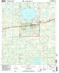
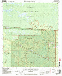
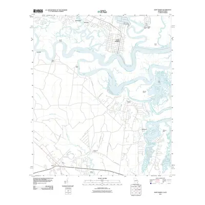
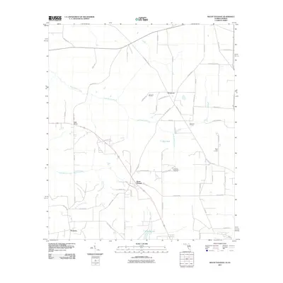
- 2003 Map of Dyas
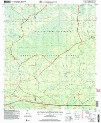
 2003 Dyas2003 Print · USGSThe Alabama and Florida borderlands come to life in this early 2000s survey, showing the rural communities and timberlands of Baldwin and Escambia Counties. Genealogists and local historians can trace family roots through landmarks like New Providence Church and Perdido Cemetery or locate the small settlements of Dyas and Phillipsville.
 - 2005 Map of Big Gum Swamp, 2006 Print
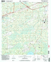
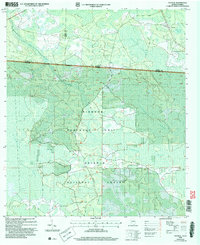
 2005 Big Gum Swamp2006 Print · USGSThe Florida interior during the mid-2000s reveals a vast hydrologic system at the border of Columbia and Baker counties. Researchers can trace the drainage of Moccasin Creek and locate historic forest sites like Seventeen Mile Camp.
 - 2005 Map of Deep Creek, 2006 Print
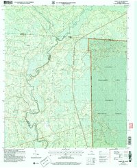
 2005 Deep Creek2006 Print · USGSOsceola National Forest in the early twenty-first century remains a landscape defined by deep wetlands and hunting history. Genealogists and historians can trace sites like Greenfield, the local Cem, and landmarks such as the West Tower Hunt Camp.
 - 2005 Map of Lake City East, 2006 Print
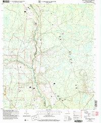
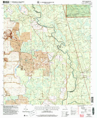
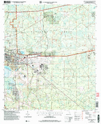 2005 Lake City East2006 Print · USGSEast of Lake City in the mid-2000s, the landscape is a busy corridor of aviation, industry, and forest management. Researchers can locate family landmarks like Bethlehem Cem, the community of Watertown, and the sprawling Osceola National Forest.
 - 2005 Map of Sanderson North, 2006 Print
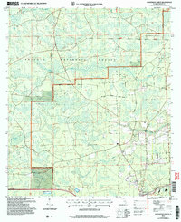 2005 Sanderson North2006 Print · USGSBaker County at the turn of the 21st century reveals a landscape defined by the deep woods and wetlands of the Osceola National Forest. Researchers can trace rural lineages through family-named landmarks like New Dinkins Ch and the Sanderson Cem.
 - 2005 Map of Taylor, 2006 Print
 2005 Taylor2006 Print · USGSBaker County forest lands at the turn of the millennium reveal a landscape of timber and wetlands. Genealogists can trace family names at Pine Grove Cem or locate the rural settlement at Taylor near the St Marys River.
 - 2005 Map of Olustee, 2006 Print
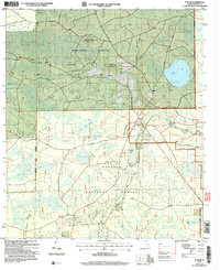
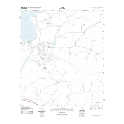
 2005 Olustee2006 Print · USGSBaker County at the start of the 21st century remains a landscape of managed timberlands and significant Civil War heritage. Local historians can trace the grounds of the Olustee Battlefield Hist Site or locate family markers at Dyess Cem and Monument Cem.
 - 2005 Map of Sanderson South, 2006 Print
 2005 Sanderson South2006 Print · USGSThe wetlands of Baker County are captured here at the turn of the millennium, revealing a landscape shaped by the Osceola National Forest. Researchers can find the South Prong Cem and Bethlehem Ch near the banks of the St Marys River.
 - 2006 Map of Fargo SW, 2007 Print
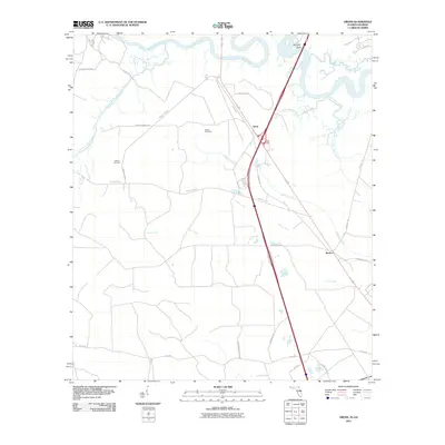
 2006 Fargo SW2007 Print · USGSThe Georgia-Florida borderlands come into focus in the early 2000s, showing the dense wetlands where the Suwannee River meets the Osceola National Forest. Trace local history at Watson or locate the Hopewell Ch and its Cem near the riverbanks.
 - 2006 Map of Macclenny NW, 2007 Print
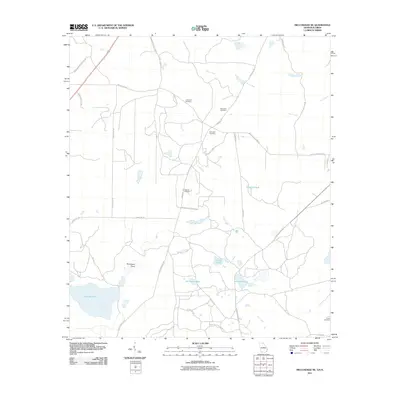
 2006 Macclenny NW2007 Print · USGSThe Florida-Georgia borderlands along the St Marys River appear in detail in this mid-2000s survey of the northern Osceola National Forest. Researchers can trace rural lineages through local landmarks like Moniac Ch and family sites such as the Canaday Cem.
 - 2006 Map of Eddy, 2007 Print
 2006 Eddy2007 Print · USGSThe Florida-Georgia borderland is captured here at the start of the twenty-first century, showing the meeting point of three major public forests and refuges. Researchers can trace the rural settlement at Eddy, locate the Eddy Tower Lookout, and follow the remote path of the Eddy Grade through the Pinhook Swamp.
 - 2006 Map of Council, 2007 Print
 2006 Council2007 Print · USGSThe Georgia-Florida borderlands come to life in this mid-2000s study of the wetlands and forests south of Council. Researchers can trace the intersection of state lines through the Pinhook Swamp and follow landmarks like the Watson Line.
 - 2006 Map of Benton, 2007 Print
 2006 Benton2007 Print · USGSThe Suwannee River borderlands in the early 2000s reveal a landscape of deep pine forests and massive phosphate excavations. Researchers can trace the industrial footprint of a Strip Mine alongside rural landmarks like the Benton Lookout Tower and Oak Grove Ch.
 - 2011 Map of Boulogne, 2011 Print
 2011 Boulogne2011 Print · USGSCovers Florida, including Folkston, Colerain, and other nearby areas
 - 2011 Map of Chattahoochee, 2011 Print
 2011 Chattahoochee2011 Print · USGSCovers Florida, including Chattahoochee, Rosedale, and other nearby areas
 - 2011 Map of Miccosukee NE, 2011 Print
 2011 Miccosukee NE2011 Print · USGSCovers Florida, including Leon County, Thomas County, and other nearby areas
 - 2011 Map of Steam Mill, 2011 Print
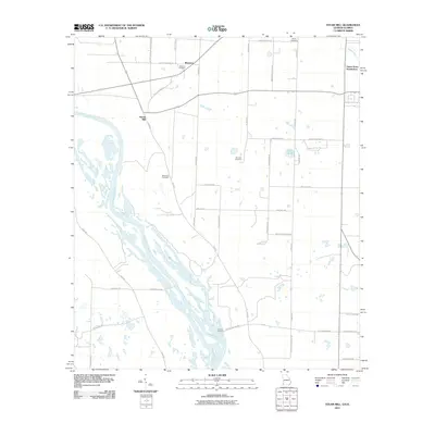 2011 Steam Mill2011 Print · USGSCovers Florida, including Green Acres Subdivision, Steam Mill, and other nearby areas
 - 2011 Map of Sneads, 2011 Print
 2011 Sneads2011 Print · USGSCovers Florida, including Sneads, Grand Ridge, and other nearby areas
 - 2011 Map of Gross, 2011 Print
 2011 Gross2011 Print · USGSCovers Florida, including St. Marys, Gross, and other nearby areas
 - 2011 Map of Saint Marys, 2011 Print
 2011 Saint Marys2011 Print · USGSCovers Florida, including St. Marys, Chester, and other nearby areas
 - 2011 Map of Fairchild, 2011 Print
 2011 Fairchild2011 Print · USGSCovers Florida, including Haynes, Parramore, and other nearby areas
 - 2011 Map of Havana North, 2011 Print
 2011 Havana North2011 Print · USGSCovers Florida, including Havana, Attapulgus, and other nearby areas
 - 2011 Map of Dogtown, 2011 Print
 2011 Dogtown2011 Print · USGSCovers Florida, including Dogtown, Gadsden County, and other nearby areas
 - 2011 Map of Mount Pleasant, 2011 Print
 2011 Mount Pleasant2011 Print · USGSCovers Florida, including Gretna, Hardaway, and other nearby areas
 - 2011 Map of Bascom, 2011 Print
 2011 Bascom2011 Print · USGSCovers Florida, including Bascom, Hornsville, and other nearby areas
Showing maps 1-25
Top cities of Florida
- Jacksonville historical maps
- Miami historical maps
- Tampa historical maps
- Orlando historical maps
- Saint Petersburg historical maps
- Hialeah historical maps
See more
Top counties of Florida
- Miami-Dade County historical maps
- Broward County historical maps
- Palm Beach County historical maps
- Hillsborough County historical maps
- Orange County historical maps
- Pinellas County historical maps
See more
Frequently asked questions
- What are the different types of historical maps available for Florida?
- What is the oldest map of Florida?
- Where can I purchase historical maps of Florida for my home or office?
- Where can I download high-res historical maps of Florida?
- Are there historical topographic maps available for Florida?
- Is there historical aerial imagery available for Florida?
- Where are historical maps of Florida sourced from?