2020s Maps of Florida
Explore 2,259 historic maps of Florida from the 2020s. These maps offer a rare glimpse into what life looked like during the 2020s — showing old roads, neighborhoods, homes, and landmarks that have changed or disappeared over time.
Whether you're researching your family's past, planning a metal detecting trip, or studying how Florida's landscape evolved across the 2020s, these high-resolution maps are a powerful tool for exploring the history of this region.
- Focus on a specific era: All maps on this page are from the 2020s, giving you a focused view of this time period.
- See what’s changed: Compare century-old streets, trails, and buildings to today's modern landscape using overlays and satellite layers.
- Research with precision: Use these maps for genealogy, historical research, land use analysis, or educational projects.
- View, download, or print: Maps are fully viewable online in high resolution, and can be downloaded or printed for your own records.
Start exploring Florida's history through authentic maps from the 2020s. This is your window into the past.
Florida maps
(2,259)- 2020 Map of Kingsland, 2020 Print
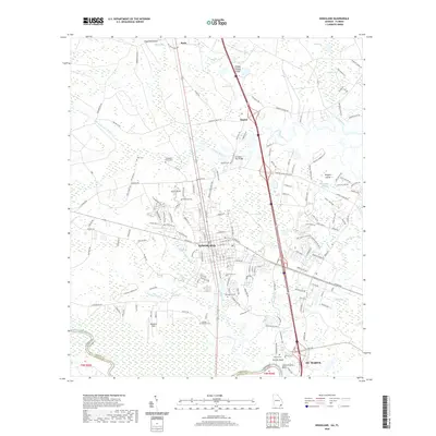 2020 Kingsland2020 Print · USGSCamden County, Georgia, at the Florida border, shows a landscape where modern transit meets deep coastal history. Researchers can find several distinct burial sites including Zion Cem and Carlton Cem alongside the waters of the Saint Marys River and Catfish Creek.
 - 2020 Map of Council, 2020 Print
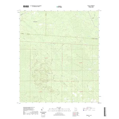 2020 Council2020 Print · USGSThe Georgia-Florida borderlands near Council are captured here in the early twenty-first century, showing a remote landscape of cypress swamps and pine flats. Researchers can trace the drainage of Little Suwannee Creek and locate family-named landmarks like H Sirmans Ln.
 - 2020 Map of Toledo, 2020 Print
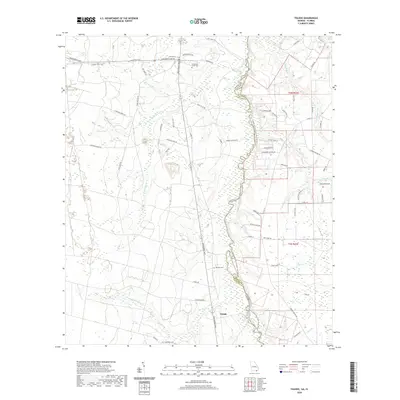 2020 Toledo2020 Print · USGSToledo and the surrounding borderlands of Georgia and Florida are captured here as the modern century unfolds. Genealogists and local historians can trace rural roots at Cornhouse Creek Cem and follow the winding St. Marys River to landmarks like Tompkins Lndg.
 - 2020 Map of Clyattville, 2020 Print
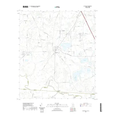 2020 Clyattville2020 Print · USGSThe Georgia-Florida borderlands near Clyattville come into focus in this recent survey of the Withlacoochee River basin. Genealogists and historians can locate old family burial grounds like Copeland Cem and Lane Cem or trace the early paths of Railroad Ave.
 - 2020 Map of Macclenny NE, 2020 Print
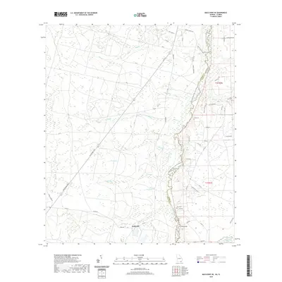 2020 Macclenny NE2020 Print · USGSThe Georgia and Florida borderlands come alive in this recent survey of the swampy terrain around the Saint Marys River. Researchers can trace old family lineages through sites like Stokesville and several rural burial grounds, including Deep Creek Cem and Motes Cem.
 - 2020 Map of Moniac, 2020 Print
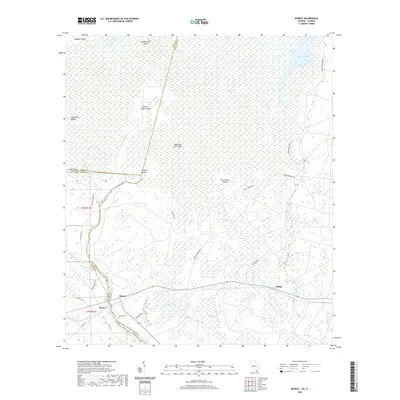 2020 Moniac2020 Print · USGSThe borderlands of Florida and Georgia come into focus in 2020 where the swamp meets the river. Researchers can trace family history at Moniac Cem or explore the wetland geography of Ellicotts Mound and Soldiers Camp Island.
 - 2020 Map of Folkston, 2020 Print
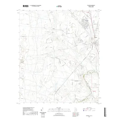 2020 Folkston2020 Print · USGSThe Georgia-Florida borderlands come into focus in this recent survey of the Folkston and Traders Hill area. Genealogists can trace family heritage through numerous rural sites like Mount Carmel Cem, Traders Hill Cem, and Little Phoebe Cem.
 - 2020 Map of Macclenny NW, 2020 Print
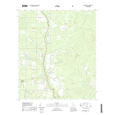 2020 Macclenny NW2020 Print · USGSThe Florida-Georgia state line runs through this 2020 landscape, where the Osceola National Forest meets the winding Saint Marys River. Researchers can trace family-named roads like Crews Rd and Hollie Rd among wetlands like Moccasin Bay.
 - 2020 Map of Lake Park, 2020 Print
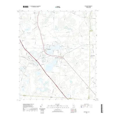 2020 Lake Park2020 Print · USGSSouth Georgia’s lake country is captured here near the Florida border, centered on the growing communities of the late twenty-teens. Genealogists and local historians can trace the areas around Lake Park Cem, Ocean Pond, and the settlement of Dasher.
 - 2020 Map of Saint George, 2020 Print
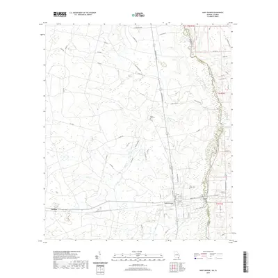 2020 Saint George2020 Print · USGSThe Georgia-Florida borderlands come into focus in 2020, centered on the rural settlement of Saint George. Researchers can trace local lineages through several family landmarks and burial grounds like Boones Creek Cem and Conner Green Cem.
 - 2020 Map of Metcalf, 2020 Print
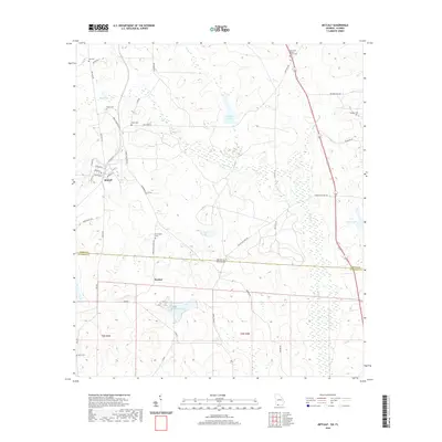 2020 Metcalf2020 Print · USGSThe Georgia-Florida border comes alive in this 2020 survey of the Metcalf and Fincher area. Genealogists and historians can trace numerous family-named landmarks and burial sites, from Hicks Cem and Hall Cem to the New Hope Baptist Church Cem.
 - 2020 Map of Grooverville, 2020 Print
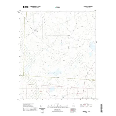 2020 Grooverville2020 Print · USGSThe Georgia-Florida borderlands come to life in this contemporary survey of the Brooks and Jefferson County line. Researchers can trace rural settlement patterns and local lineage at the African Methodist Episcopal Cem, Grooverville, and the remote Aucilla Swamp.
 - 2020 Map of Nankin, 2020 Print
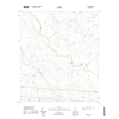 2020 Nankin2020 Print · USGSThe Georgia-Florida borderlands near Nankin come into focus in this recent survey of Brooks and Lowndes counties. Genealogists can locate family burial sites at Redland Cem and Columbia Primitive Baptist Church Cem along the Withlacoochee River.
 - 2020 Map of Calvary, 2020 Print
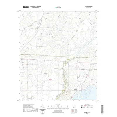 2020 Calvary2020 Print · USGSThe Georgia-Florida borderlands near Calvary and Concord appear in this recent survey of rural agriculture and river wetlands. Genealogists can locate family landmarks like Lamonia Cem, Higdon Cem, and the old community at Meridian.
 - 2020 Map of Beachton, 2020 Print
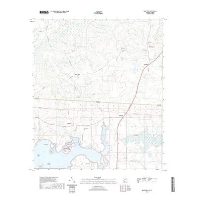 2020 Beachton2020 Print · USGSGeorgia and Florida borderlands are captured here during the 2020s, showing the rural communities of Beachton and Iamonia. Researchers can trace old family burial grounds like Van Brunt Cem and the complex shoreline of Lake Iamonia.
 - 2020 Map of Baden, 2020 Print
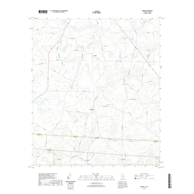 2020 Baden2020 Print · USGSThe Georgia-Florida state line comes into focus in the early twenty-first century, showing the rural crossroads of Brooks and Madison counties. Local historians can trace family roots through numerous burial sites like Johson Cem and Redford-Denson Cem near the settlement of Empress.
 - 2020 Map of Miccosukee NE, 2020 Print
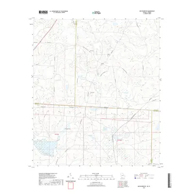 2020 Miccosukee NE2020 Print · USGSThis northern Florida and southern Georgia borderland preserves a landscape of large plantations and family cemeteries as it appeared in the late 2010s. Genealogists can locate family sites like Blalock Cem or Copeland Cem near the wetlands of Foshalee Lake.
 - 2020 Map of Saint Marys, 2020 Print
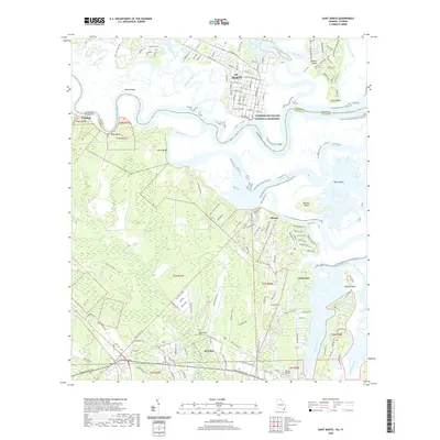 2020 Saint Marys2020 Print · USGSThe Georgia-Florida border comes alive in this modern survey of the riverlands and coastal marshes near the Atlantic. Genealogists and local historians can trace family locations at Oak Grove Cem and Higginbotham Cem or locate the old ferry crossing to Cumberland Island National Seashore.
 - 2020 Map of Fairchild, 2020 Print
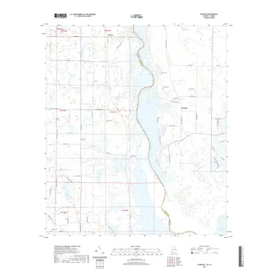 2020 Fairchild2020 Print · USGSFlorida and Georgia meet along the Chattahoochee River in this modern topographical survey of the tri-state area. Genealogists can trace family roots at Simpsons Cem, Whiddon Cem, and Robinson Cem near the historic settlements of Haynes and Parramore.
 - 2020 Map of Steam Mill, 2020 Print
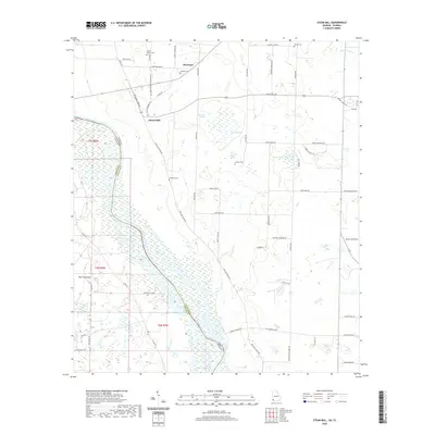 2020 Steam Mill2020 Print · USGSThe Florida-Georgia border along the Chattahoochee River is captured here in a moment of rural continuity and lakeside development. Genealogists and local historians can trace family-named sites like Brunson Cem, Williams Cem, and the community at Steam Mill.
 - 2020 Map of Saffold, 2020 Print
 2020 Saffold2020 Print · USGSHouston County, Alabama and Early County, Georgia meet at the Chattahoochee River in this modern-era study of the river valley. Researchers can trace rural family-named roads like Paul Jeffcoat Rd and visit local landmarks like Pilgrim Church or the settlement of Crosby.
 - 2020 Map of Gateswood, 2020 Print
 2020 Gateswood2020 Print · USGSThe Alabama-Florida borderlands come into focus in this contemporary survey of the region surrounding Gateswood. Genealogists and local historians can trace family-named routes and landmarks like Pittman Cem, the Old Pensacola Rd, and the winding Perdido River.
 - 2020 Map of Lillian, 2020 Print
 2020 Lillian2020 Print · USGSThe borderlands of Alabama and Florida come to life in this survey of Perdido Bay and its surrounding wetlands. Genealogists and local historians can trace family locations near Lillian, the Gilley Memorial Cem, and along the Perdido River.
 - 2020 Map of Seminole, 2020 Print
 2020 Seminole2020 Print · USGSThe Alabama-Florida borderlands come into focus in this recent study of the river country between Seminole and Beulah. Genealogists and local historians can trace family ties at the Old Muscogee Cem and Mitchell Cem along the Perdido River.
 - 2020 Map of Dyas, 2020 Print
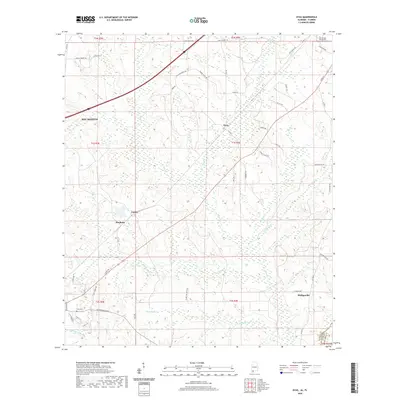 2020 Dyas2020 Print · USGSCoastal Alabama settlements and rural road networks are documented here in the early twenty-first century. Genealogists and local historians can trace old homesteads and family names along Old Pensacola Road or locate the Perdido Baptist Church and Cain Cemetery.
Showing maps 1-25 of 2,259
Top cities of Florida
- Jacksonville historical maps
- Miami historical maps
- Tampa historical maps
- Orlando historical maps
- Saint Petersburg historical maps
- Hialeah historical maps
See more
Top counties of Florida
- Miami-Dade County historical maps
- Broward County historical maps
- Palm Beach County historical maps
- Hillsborough County historical maps
- Orange County historical maps
- Pinellas County historical maps
See more
Frequently asked questions
- What are the different types of historical maps available for Florida?
- What is the oldest map of Florida?
- Where can I purchase historical maps of Florida for my home or office?
- Where can I download high-res historical maps of Florida?
- Are there historical topographic maps available for Florida?
- Is there historical aerial imagery available for Florida?
- Where are historical maps of Florida sourced from?