2000s (21st Century) Maps of Caribou County, Idaho
Explore 267 historic maps of Caribou County from the 2000s (21st Century). These maps offer a rare glimpse into what life looked like during the 2000s — showing old roads, neighborhoods, homes, and landmarks that have changed or disappeared over time.
Whether you're researching your family's past, planning a metal detecting trip, or studying how Caribou County's landscape evolved across the 2000s, these high-resolution maps are a powerful tool for exploring the history of this region.
- Focus on a specific era: All maps on this page are from the 2000s, giving you a focused view of this time period.
- See what’s changed: Compare century-old streets, trails, and buildings to today's modern landscape using overlays and satellite layers.
- Research with precision: Use these maps for genealogy, historical research, land use analysis, or educational projects.
- View, download, or print: Maps are fully viewable online in high resolution, and can be downloaded or printed for your own records.
Start exploring Caribou County's history through authentic maps from the 2000s. This is your window into the past.
Caribou County, ID maps
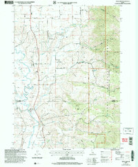
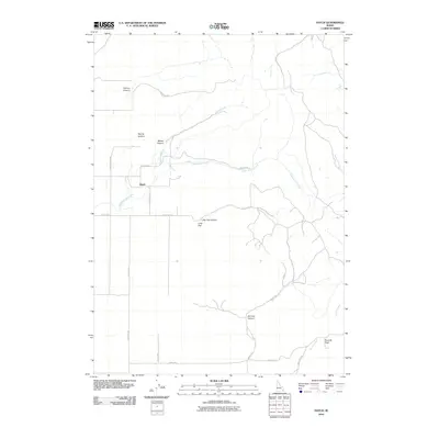
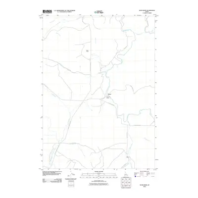
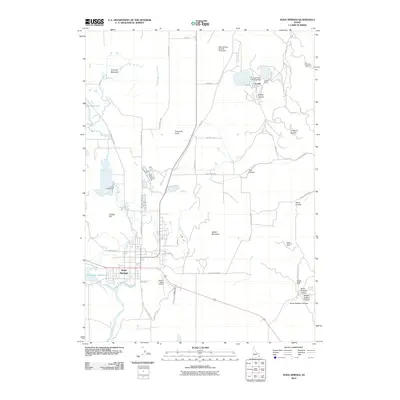
(267)- 2005 Map of Soda Peak, 2007 Print
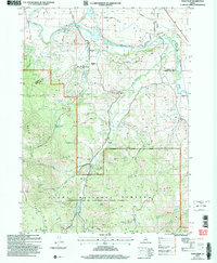 2005 Soda Peak2007 Print · USGSBear Lake County at the start of the millennium shows a landscape defined by the winding Bear River and the forested slopes of the Bear River Range. Genealogists and local historians can locate the Eightmile Sch, Eightmile Cem, and the quiet community of Manson.
 - 2005 Map of Grace, 2007 Print
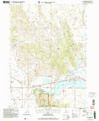
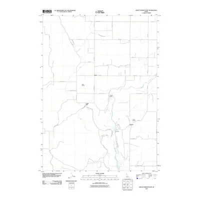
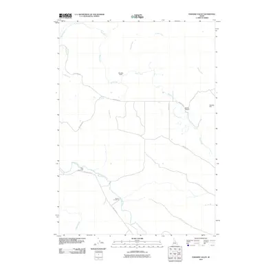
 2005 Grace2007 Print · USGSGem Valley at the start of the twenty-first century reveals a landscape defined by Bear River irrigation and mountain foothills. Trace family roots at Grace Cemetery or locate landmarks like the Ice Cave, Grace Dam, and Niter.
 - 2005 Map of Alexander, 2007 Print
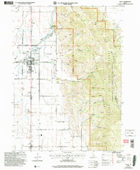
 2005 Alexander2007 Print · USGSThe Bear River valley at the turn of the millennium reveals a landscape of volcanic craters and historic migration routes. Researchers can trace the Old Oregon Trail as it passes near Alexander, or locate regional landmarks like Alexander Crater and the Idaho Ranch.
 - 2005 Map of North Canyon, 2007 Print
 2005 North Canyon2007 Print · USGSThe high ridges of the Bear River Range are documented here in the early 2000s as they span the borders of Bear Lake and Caribou counties. Researchers can trace historic mountain routes like the Highline Trail and locate remote water sources such as Lea Lake and Humberg Spring.
 - 2005 Map of Thatcher, 2007 Print
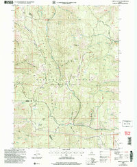
 2005 Thatcher2007 Print · USGSSoutheastern Idaho's river valleys and forest ridges are documented here at the turn of the millennium. Researchers can trace the rural layout of Thatcher and Lago, locating landmarks like the Thatcher Central High School and Lago Cem.
 - 2010 Map of Lincoln Peak, 2010 Print
 2010 Lincoln Peak2010 Print · USGSCovers Caribou County, including Bannock County, Bingham County, and other nearby areas
 - 2010 Map of Grizzly Creek, 2010 Print
 2010 Grizzly Creek2010 Print · USGSCovers Caribou County, including United States, Idaho, and other nearby areas
 - 2010 Map of Thatcher Hill, 2010 Print
 2010 Thatcher Hill2010 Print · USGSCovers Caribou County, including Franklin County, United States, and other nearby areas
 - 2010 Map of Hatch, 2010 Print
 2010 Hatch2010 Print · USGSCovers Caribou County, including United States, Idaho, and other nearby areas
 - 2010 Map of Grace Power Plant, 2010 Print
 2010 Grace Power Plant2010 Print · USGSCovers Caribou County, including United States, Idaho, and other nearby areas
 - 2010 Map of Little Valley Hills, 2010 Print
 2010 Little Valley Hills2010 Print · USGSCovers Caribou County, including Bonneville County, Bingham County, and other nearby areas
 - 2010 Map of Meadow Creek Mountain, 2010 Print
 2010 Meadow Creek Mountain2010 Print · USGSCovers Caribou County, including Bingham County, United States, and other nearby areas
 - 2010 Map of Dunn Basin, 2010 Print
 2010 Dunn Basin2010 Print · USGSCovers Caribou County, including Morgan, Bingham County, and other nearby areas
 - 2010 Map of Paradise Valley, 2010 Print
 2010 Paradise Valley2010 Print · USGSCovers Caribou County, including Bingham County, United States, and other nearby areas
 - 2010 Map of Bancroft, 2010 Print
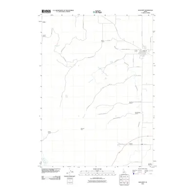 2010 Bancroft2010 Print · USGSCovers Caribou County, including Bancroft, Bannock County, and other nearby areas
 - 2010 Map of China Hat, 2010 Print
 2010 China Hat2010 Print · USGSCovers Caribou County, including United States, Idaho, and other nearby areas
 - 2010 Map of Talmage, 2010 Print
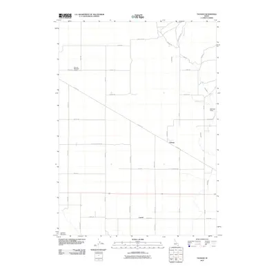 2010 Talmage2010 Print · USGSCovers Caribou County, including Bancroft, United States, and other nearby areas
 - 2010 Map of Chesterfield, 2010 Print
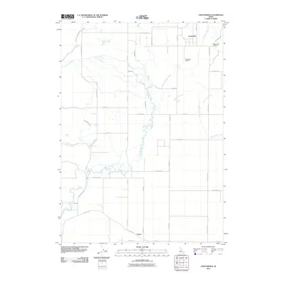 2010 Chesterfield2010 Print · USGSCovers Caribou County, including United States, Idaho, and other nearby areas
 - 2010 Map of The Dip, 2010 Print
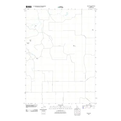 2010 The Dip2010 Print · USGSCovers Caribou County, including United States, Idaho, and other nearby areas
 - 2010 Map of Cottonwood Peak, 2010 Print
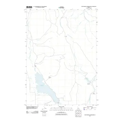
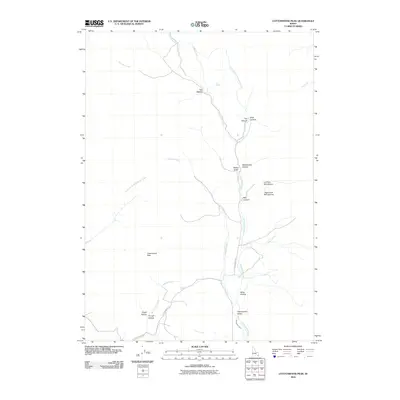 2010 Cottonwood Peak2010 Print · USGSCovers Caribou County, including Bannock County, Franklin County, and other nearby areas
 - 2010 Map of Chesterfield Reservoir, 2010 Print
 2010 Chesterfield Reservoir2010 Print · USGSCovers Caribou County, including United States, Idaho, and other nearby areas
 - 2010 Map of Reservoir Mountain, 2010 Print
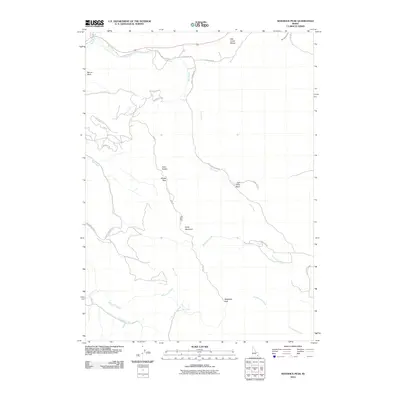
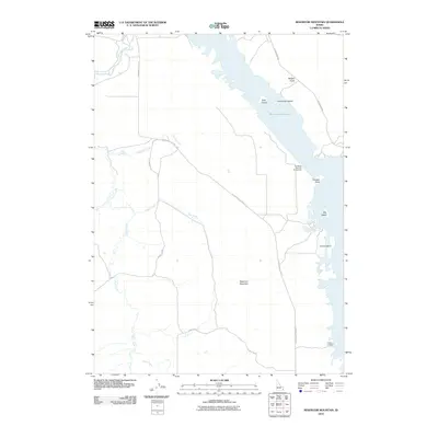 2010 Reservoir Mountain2010 Print · USGSCovers Caribou County, including United States, Idaho, and other nearby areas
 - 2010 Map of Sedgwick Peak, 2010 Print
 2010 Sedgwick Peak2010 Print · USGSCovers Caribou County, including Lava Hot Springs, Bannock County, and other nearby areas
 - 2010 Map of Henry, 2010 Print
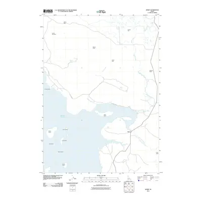 2010 Henry2010 Print · USGSCovers Caribou County, including United States, Idaho, and other nearby areas
 - 2010 Map of Soda Springs, 2010 Print
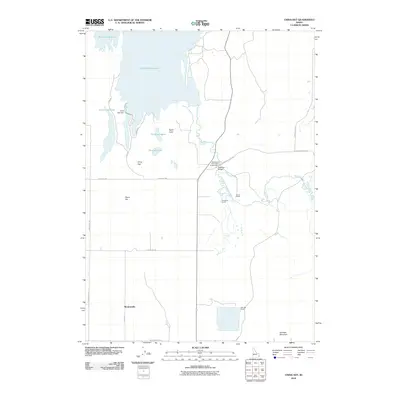
 2010 Soda Springs2010 Print · USGSCovers Caribou County, including Soda Springs, United States, and other nearby areas
Showing maps 1-25 of 267
Top cities of Caribou County
Frequently asked questions
- What are the different types of historical maps available for Caribou County?
- What is the oldest map of Caribou County?
- Where can I purchase historical maps of Caribou County for my home or office?
- Where can I download high-res historical maps of Caribou County?
- Are there historical topographic maps available for Caribou County?
- Is there historical aerial imagery available for Caribou County?
- Where are historical maps of Caribou County sourced from?