2020s Maps of Caribou County, Idaho
Explore 103 historic maps of Caribou County from the 2020s. These maps offer a rare glimpse into what life looked like during the 2020s — showing old roads, neighborhoods, homes, and landmarks that have changed or disappeared over time.
Whether you're researching your family's past, planning a metal detecting trip, or studying how Caribou County's landscape evolved across the 2020s, these high-resolution maps are a powerful tool for exploring the history of this region.
- Focus on a specific era: All maps on this page are from the 2020s, giving you a focused view of this time period.
- See what’s changed: Compare century-old streets, trails, and buildings to today's modern landscape using overlays and satellite layers.
- Research with precision: Use these maps for genealogy, historical research, land use analysis, or educational projects.
- View, download, or print: Maps are fully viewable online in high resolution, and can be downloaded or printed for your own records.
Start exploring Caribou County's history through authentic maps from the 2020s. This is your window into the past.
Caribou County, ID maps
(103)- 2020 Map of Thatcher, 2020 Print
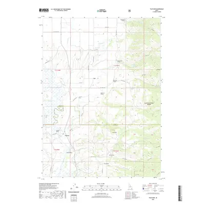 2020 Thatcher2020 Print · USGSFranklin County's high-desert valleys and mountain foothills are captured here in the contemporary era, highlighting the long-standing irrigation networks of Gentile Valley. Researchers can locate family landmarks like the Lago Cem and trace the paths of Gentile Valley Canal through Thatcher and Mound Valley.
 - 2020 Map of Grizzly Creek, 2020 Print
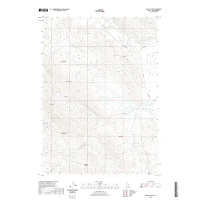 2020 Grizzly Creek2020 Print · USGSCaribou County's high-country drainages are meticulously charted in this recent 2020 survey of the Idaho interior. Researchers can trace the winding paths of Cow Camp Rd through significant landmarks like Devils Gate, Swaps Pass, and Dairy Springs.
 - 2020 Map of Diamond Flat, 2020 Print
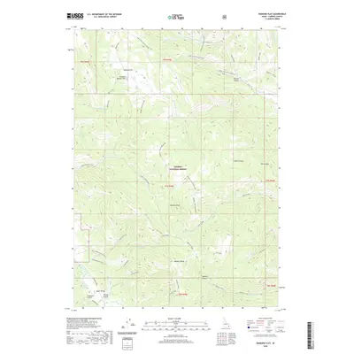 2020 Diamond Flat2020 Print · USGSCaribou County high country is shown here in the 2020s, dominated by the ridges and canyons of the Caribou National Forest. Trace historical routes like the Lander Trail and find remote landmarks such as Diamond Peak and Chicken Spring.
 - 2020 Map of Stump Peak, 2020 Print
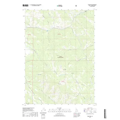 2020 Stump Peak2020 Print · USGSThe high Idaho backcountry of Caribou County is shown here in the early twenty-first century, centered on the dramatic Caribou Range. Historians can trace the exact path of the Lander Trail as it winds past Stump Peak and through the Webster Range.
 - 2020 Map of Bear Camp Gulch, 2020 Print
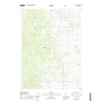 2020 Bear Camp Gulch2020 Print · USGSThe high ridges of the Portneuf Range define this Idaho landscape at the turn of the decade, where the forest meets the high desert. Modern-day explorers and researchers can trace historical access routes like the Bear Camp Trail and Robbers Roost Boundary Trail.
 - 2020 Map of Soda Springs, 2020 Print
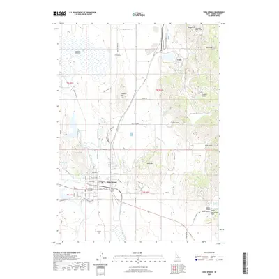 2020 Soda Springs2020 Print · USGSSoda Springs and the surrounding Caribou County highlands are documented here at the start of the 2020s. Researchers can locate the Caribou County Courthouse, trace the Soda Canal, or explore the unique terrain of the Blackfoot Lava Field and Conda.
 - 2020 Map of Talmage, 2020 Print
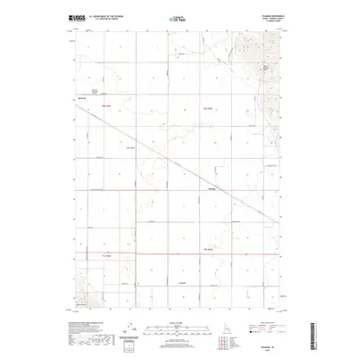 2020 Talmage2020 Print · USGSBancroft and the fertile Gem Valley are captured in this contemporary survey of Caribou County's high-plateau landscape. Researchers can trace historical routes like Oregon Trail Rd and identify local infrastructure such as the Soda Canal and Bancroft Municipal Airport.
 - 2020 Map of China Hat, 2020 Print
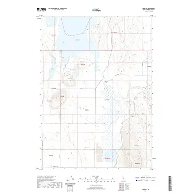 2020 China Hat2020 Print · USGSCaribou County high country is shown here in the 2020s, dominated by the volcanic forms of China Hat and the southern Blackfoot Reservoir. Researchers can trace the rugged topography of the Blackfoot Lava Field or locate landmarks like Blackfoot Bridge and Woodall Mtn.
 - 2020 Map of Fossil Canyon, 2020 Print
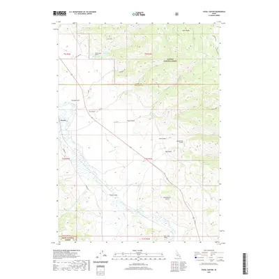 2020 Fossil Canyon2020 Print · USGSThe Bear River corridor and Nounan Valley are captured here as they appeared in 2020, showing the intersection of agricultural lowlands and national forest. Researchers can trace historic water routes and mountain passes through Georgetown Summit, Diamond Gulch, and the small settlement of Manson.
 - 2020 Map of The Dip, 2020 Print
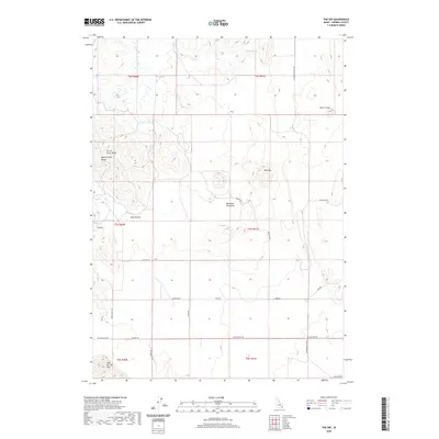 2020 The Dip2020 Print · USGSCaribou County in the early twenty-first century reveals a volcanic landscape shaped by the Blackfoot Lava Field and high ridges. Trace local routes like Government Dam Rd and landmarks such as Red Mtn or Little Crater.
 - 2020 Map of Hatch, 2020 Print
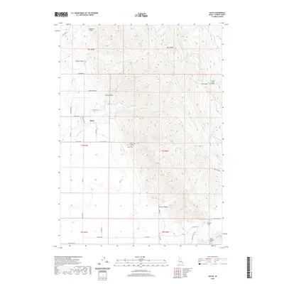 2020 Hatch2020 Print · USGSSoutheastern Idaho's high-country ranching landscape is captured here in the contemporary era. Researchers can trace the rural road network connecting Hatch and Little Flat or locate named landmarks like Tenmile Pass and Corral Creek Ridge.
 - 2020 Map of Dry Valley, 2020 Print
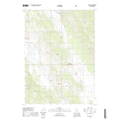 2020 Dry Valley2020 Print · USGSCaribou County’s high-country landscape is documented here in the early twenty-first century as part of the Caribou National Forest. Trace the network of forest roads and springs like Lonetree Spring, or explore the drainages of Dry Valley and Huckleberry Basin.
 - 2020 Map of Stewart Flat, 2020 Print
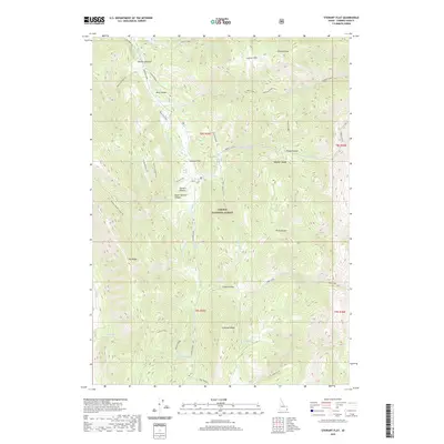 2020 Stewart Flat2020 Print · USGSCaribou County’s high country is captured here in the 2020s, showing a landscape of deep canyons and seasonal springs within the Caribou National Forest. Researchers and hikers can trace remote landmarks like Stewart Flat, Draney Peak, and the waters of Diamond Creek.
 - 2020 Map of Lower Valley, 2020 Print
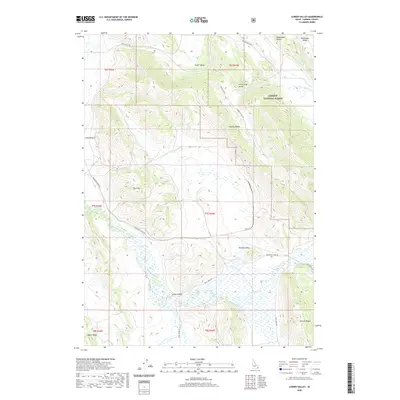 2020 Lower Valley2020 Print · USGSSoutheastern Idaho's high-country basins are documented in this recent survey of Caribou County. Genealogists and outdoor historians can trace old routes like Trail Creek Rd through Lower Valley and the rugged Wooley Range.
 - 2020 Map of Grace, 2020 Print
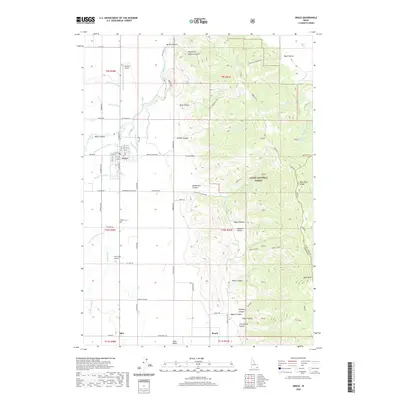 2020 Grace2020 Print · USGSGrace stands at the heart of this contemporary topographic study of the Bear River Range. Researchers and local historians can trace the current street grid of Grace and the surrounding irrigation patterns that continue to shape the valley floor.
 - 2020 Map of Meade Peak, 2020 Print
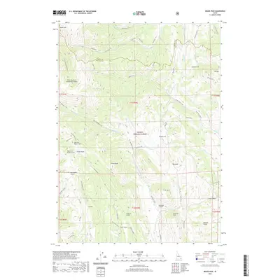 2020 Meade Peak2020 Print · USGSThe high ridges of Caribou County are documented here in the early twenty-first century, showing a landscape defined by the Preuss Range and Caribou National Forest. Researchers can trace the drainages of Montpelier Creek and find local landmarks like Giveout or the high Geneva Summit.
 - 2020 Map of Henry, 2020 Print
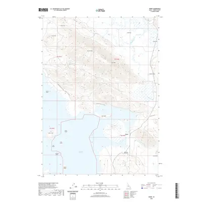 2020 Henry2020 Print · USGSThe settlement of Henry and the surrounding Caribou County highlands are shown here in the contemporary era as the local landscape transitions from peaks to reservoir. Researchers can trace landforms and water sources like the Blackfoot Lava Field, Robbers Roost, and the various islands of the Blackfoot Reservoir.
 - 2020 Map of Chesterfield Reservoir, 2020 Print
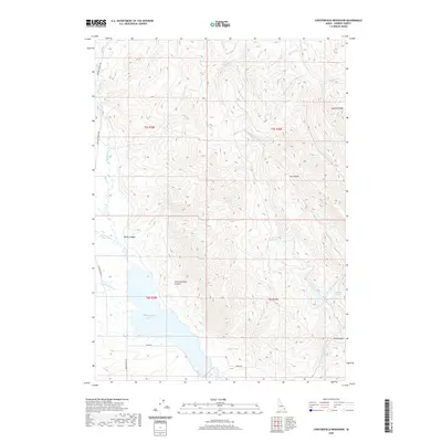 2020 Chesterfield Reservoir2020 Print · USGSCaribou County at the start of the 2020s reveals a landscape defined by the Chesterfield Reservoir and the high ridges of the Idaho backcountry. Researchers can trace local water sources and landmarks like Jim Corneilson Canyon, Sawmill Ridge, and Cold Spring.
 - 2020 Map of Grace Power Plant, 2020 Print
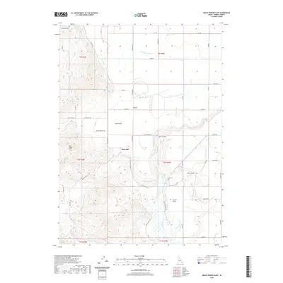 2020 Grace Power Plant2020 Print · USGSCaribou County in the early 2020s remains a landscape defined by industrial power and high-desert irrigation. Trace the path of the Bear River through Black Canyon or locate family roots near the Grace Power Plant and the settlement of Turner.
 - 2020 Map of Bonneville Peak, 2020 Print
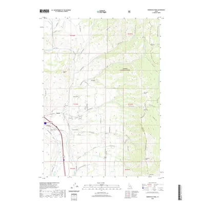 2020 Bonneville Peak2020 Print · USGSThe mountain corridors of Bannock County are seen here in the early twenty-first century as they frame the community of Inkom. Researchers can trace local landmarks like Inkom Cemetery or follow the high-altitude trails leading to Bonneville Peak and Snow Peak.
 - 2020 Map of Wayan West, 2020 Print
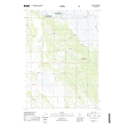 2020 Wayan West2020 Print · USGSCaribou County high country near the turn of the twenty-first century reveals a landscape shaped by vast wetlands and timbered ridges. Researchers can trace the drainage of the Little Blackfoot River and locate remote landmarks like Henry Peak and the settlement of Wayan.
 - 2020 Map of McCammon, 2020 Print
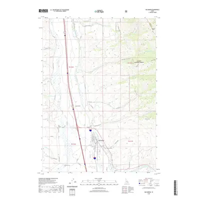 2020 McCammon2020 Print · USGSMcCammon and the surrounding Portneuf Valley are documented here in the early twenty-first century, showing the intersection of valley ranching and mountain wilderness. Researchers can trace local water history along the Portneuf Marsh Valley Canal or explore the canyons of the Portneuf Range through landmarks like Robbers Roost and Mullen Canyon.
 - 2020 Map of Chesterfield, 2020 Print
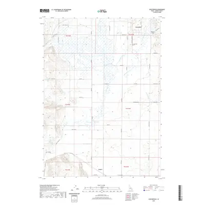 2020 Chesterfield2020 Print · USGSThe high valley of Caribou County is shown here in the contemporary era, centered on the historic settlement of Chesterfield. Researchers can trace the intricate irrigation network of the Portneuf River and locate the Chesterfield Cem or the smaller community of Kinport.
 - 2020 Map of Sedgwick Peak, 2020 Print
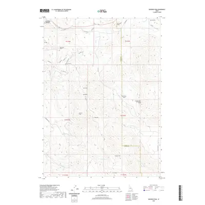 2020 Sedgwick Peak2020 Print · USGSSoutheast Idaho's mountainous high country is detailed in this 2020 survey, centered on the heights of the Portneuf Range. Trace the rugged terrain from Lava Hot Springs to Sedgwick Peak and the Columbia River Great Basin Divide.
 - 2020 Map of Reservoir Mountain, 2020 Print
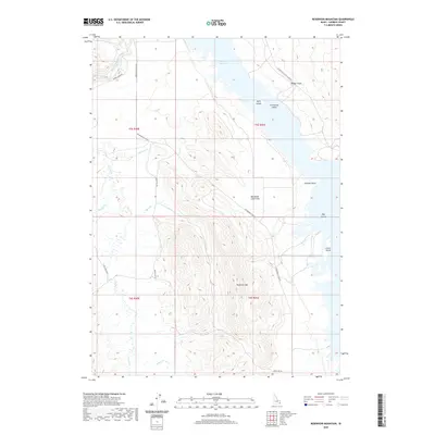 2020 Reservoir Mountain2020 Print · USGSCaribou County high country is shown here in the contemporary era, centered on the expansive waters of the Blackfoot Reservoir. Researchers can trace the shoreline and volcanic terrain surrounding Reservoir Mtn, the Blackfoot Lava Field, and various islands.
Showing maps 1-25 of 103
Top cities of Caribou County
Frequently asked questions
- What are the different types of historical maps available for Caribou County?
- What is the oldest map of Caribou County?
- Where can I purchase historical maps of Caribou County for my home or office?
- Where can I download high-res historical maps of Caribou County?
- Are there historical topographic maps available for Caribou County?
- Is there historical aerial imagery available for Caribou County?
- Where are historical maps of Caribou County sourced from?