2010s Maps of Oneida County, Idaho
Explore 117 historic maps of Oneida County from the 2010s. These maps offer a rare glimpse into what life looked like during the 2010s — showing old roads, neighborhoods, homes, and landmarks that have changed or disappeared over time.
Whether you're researching your family's past, planning a metal detecting trip, or studying how Oneida County's landscape evolved across the 2010s, these high-resolution maps are a powerful tool for exploring the history of this region.
- Focus on a specific era: All maps on this page are from the 2010s, giving you a focused view of this time period.
- See what’s changed: Compare century-old streets, trails, and buildings to today's modern landscape using overlays and satellite layers.
- Research with precision: Use these maps for genealogy, historical research, land use analysis, or educational projects.
- View, download, or print: Maps are fully viewable online in high resolution, and can be downloaded or printed for your own records.
Start exploring Oneida County's history through authentic maps from the 2010s. This is your window into the past.
Oneida County, ID maps
(117)- 2010 Map of Deep Creek Peak, 2010 Print
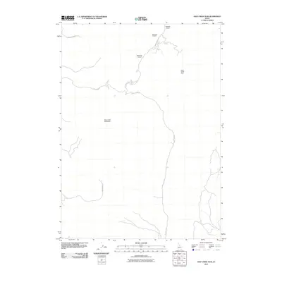 2010 Deep Creek Peak2010 Print · USGSOneida County's high country is surveyed here in the early 2000s, showing the remote canyon systems and peaks of the Idaho-Utah borderlands. Researchers can trace the path of Bannock Creek or follow backcountry routes like Bull Canyon Rd and Knox Canyon Rd W through the mountains.
 - 2010 Map of Arbon, 2010 Print
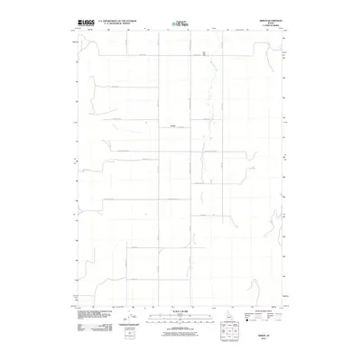 2010 Arbon2010 Print · USGSArbon and the surrounding valley floor are documented here during the early twenty-first century, showing a landscape shaped by rural life and mountain streams. Researchers can trace family-named routes and local landmarks like the Arbon Post Office, Bannock Creek, and Cemetery Rd.
 - 2010 Map of Bradley Mountain, 2010 Print
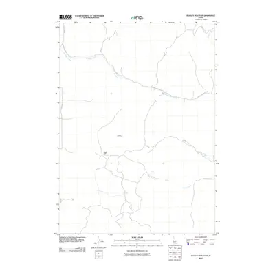 2010 Bradley Mountain2010 Print · USGSBannock County, Idaho, is seen here in the early twenty-first century, showing a high-country landscape shaped by seasonal springs and mountain passes. Researchers can trace the drainages of Rattlesnake Creek and Yellow Dog Creek or locate the vital waters of Rock Spring and Hawkins Spring.
 - 2010 Map of Ireland Springs, 2010 Print
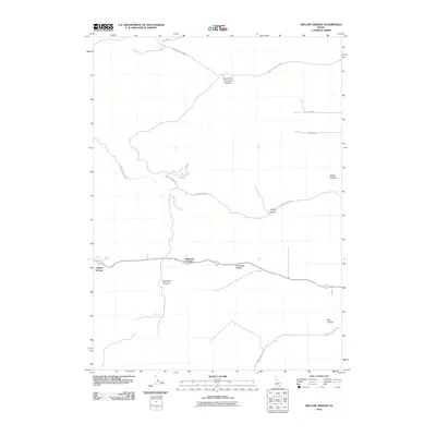 2010 Ireland Springs2010 Print · USGSOneida County's high-country terrain is captured here in the early twenty-first century, highlighting critical water sources and mountain passes. Researchers can locate Ireland Springs, Holbrook Summit, and the remote Stump Canyon Rd.
 - 2010 Map of Black Pine, 2010 Print
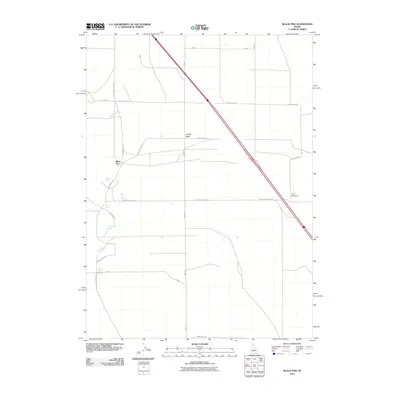 2010 Black Pine2010 Print · USGSOneida County's high-desert landscape is captured here in the early twenty-first century, showing a remote network of springs and ranch roads. Researchers can trace land use through features like Black Pine, Anderson Spring, and the path of Cemetery Rd.
 - 2011 Map of Sublett Reservoir, 2011 Print
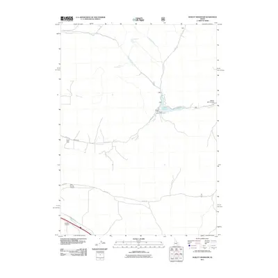 2011 Sublett Reservoir2011 Print · USGSCassia County, Idaho, is depicted here in the early twenty-first century, showcasing the vital water management systems of the high desert. Researchers can trace the layout of the Broken Circle Ranch and locate remote springs like Pine Creek Spring and South Fork Fall Creek Spring.
 - 2011 Map of Sweetzer Canyon, 2011 Print
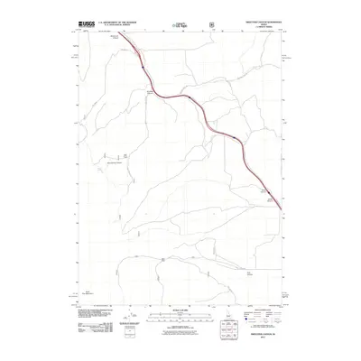 2011 Sweetzer Canyon2011 Print · USGSCanyons and foothills in Cassia County are mapped here in the early twenty-first century as part of the Black Pine Mountains. Trace rural access routes and drainage systems like Meadow Creek, Sweetzer Canyon, and Mud Springs.
 - 2011 Map of Black Pine Peak, 2011 Print
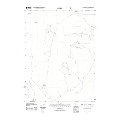 2011 Black Pine Peak2011 Print · USGSThe Black Pine Mountains of southern Idaho are captured here during a period of modern land management and continued mineral interest. Researchers can trace historic extraction sites like the Silver Hills Mine and Hazel Pine Mine or locate remote water sources such as Formation Springs.
 - 2011 Map of Holbrook, 2011 Print
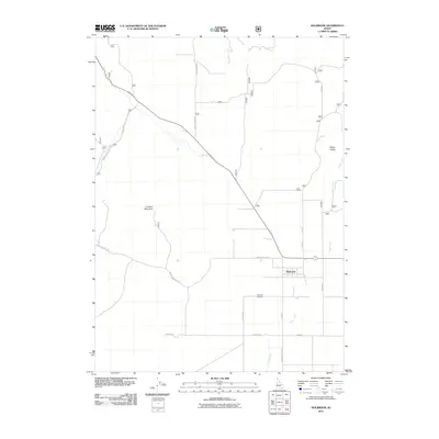 2011 Holbrook2011 Print · USGSHolbrook and the surrounding Oneida County ranchlands are captured here during the early twenty-first century. Genealogists and local historians can locate the Holbrook Cemetery and trace the paths of Old Hwy 37 and Deep Creek.
 - 2011 Map of Sheep Creek Spring, 2011 Print
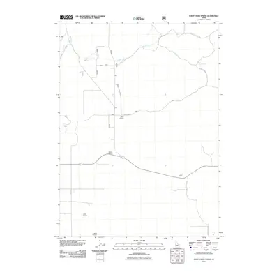 2011 Sheep Creek Spring2011 Print · USGSOneida County's high country is captured here in the early twenty-first century, showing a landscape shaped by canyon systems and vital water sources. Trace the remote network of Ireland Canyon Rd and S Smith Rd to landmarks like Bull Pasture and Sheep Creek Spring.
 - 2011 Map of Buist, 2011 Print
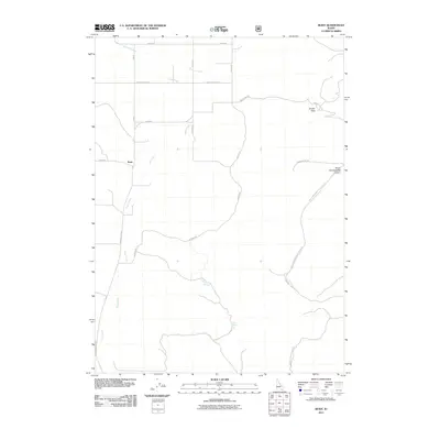 2011 Buist2011 Print · USGSIn this high-country Idaho landscape of the early twenty-first century, the small settlement of Buist sits at a critical junction of canyon roads. Genealogists and local historians can trace family land and travel routes through Jensen Pass and near water sources like Petit Spring.
 - 2011 Map of Wakley Peak, 2011 Print
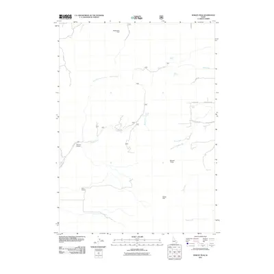 2011 Wakley Peak2011 Print · USGSThe high peaks and deep canyons of Idaho’s Bannock Range are mapped here in the early twenty-first century. Genealogists and researchers can trace family-named landmarks and essential water sources like Wursten Spring, Farmers Canyon, and W Chicken Flats Rd.
 - 2011 Map of Cedarhill, 2011 Print
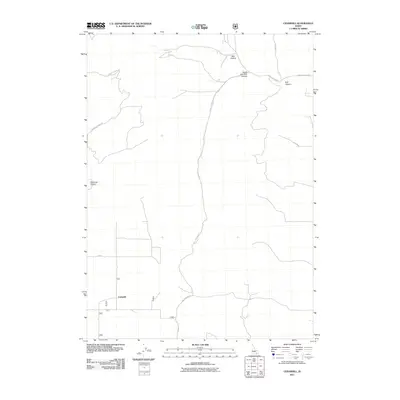 2011 Cedarhill2011 Print · USGSOneida County's remote canyon country is captured in the early twenty-first century, centered on the settlement of Cedarhill. Genealogists and researchers can trace the roads winding through Bull Canyon, Bear Hollow, and Hillhouse Canyon.
 - 2011 Map of Daniels, 2011 Print
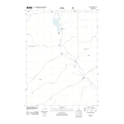 2011 Daniels2011 Print · USGSOneida County's high country is documented here in the early twenty-first century, showing the critical water systems of the Little Malad River. Researchers can trace old routes like Old Sublette Rd and locate landmarks from Daniels Reservoir to Mount Elkhorn.
 - 2011 Map of Malad City East, 2011 Print
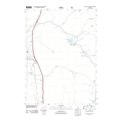 2011 Malad City East2011 Print · USGSSoutheast Idaho's high valley landscape is captured here in the early twenty-first century, centered on the expansion of Malad City. Genealogists and local historians can locate the Malad City Cemetery and trace water rights through the Deep Creek Reservoir and Weston Creek Reservoir.
 - 2011 Map of Roy, 2011 Print
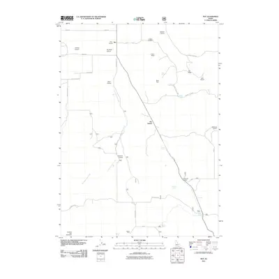 2011 Roy2011 Print · USGSPower County ranching and high-desert terrain are mapped here in the early twenty-first century. Researchers can trace the layout of Hansen Ranch and the small settlement of Roy, or locate water sources like Sagehen Springs and Lonigan Springs near Roy Summit.
 - 2011 Map of Malad Summit, 2011 Print
 2011 Malad Summit2011 Print · USGSBannock County and the high pass at Malad Summit are captured here in the early twenty-first century, showing a landscape defined by canyons and essential water sources. Researchers can trace the drainage networks from Devil Creek Reservoir to family-named landmarks like Curly Jack Flat and Heath Spring.
 - 2011 Map of Oxford, 2011 Print
 2011 Oxford2011 Print · USGSOxford and the surrounding Franklin County highlands appear in this contemporary survey as a landscape of mountain basins and valley wetlands. Genealogists and local historians can locate Oxford Cemetery, trace the waters of Marsh Creek, and explore the geography around Red Rock Pass.
 - 2011 Map of Clifton, 2011 Print
 2011 Clifton2011 Print · USGSClifton and the surrounding Franklin County foothills are documented in detail here during the early twenty-first century. Genealogists and local historians can trace the community layout near Cemetery Rd and explore landmarks like Buck Peak and the Twin Lakes Canal West Lateral.
 - 2011 Map of Weston Canyon, 2011 Print
 2011 Weston Canyon2011 Print · USGSFranklin County, Idaho, is revealed in detail during the early 21st century, focusing on the hydraulic and natural landmarks of the Weston area. Researchers can locate specific geographic features like Standing Rock, the Weston Dam, and remote corridors like Dirty Head Rd.
 - 2011 Map of Malad City West, 2011 Print
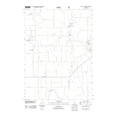 2011 Malad City West2011 Print · USGSWestern Oneida County was a well-established irrigation and ranching corridor by the early 2010s. Genealogists and local historians can trace the rural layouts of Saint Johns, Pleasantview, and Gwenford alongside landmarks like Crowther Dam.
 - 2011 Map of Elkhorn Peak, 2011 Print
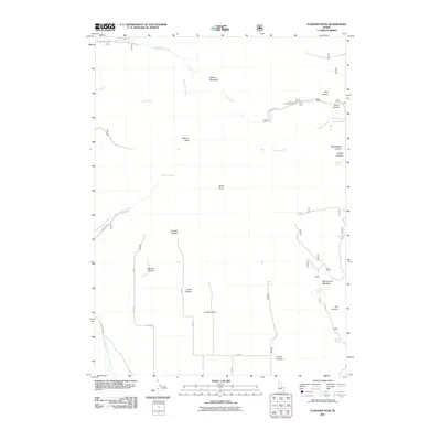 2011 Elkhorn Peak2011 Print · USGSBannock County’s high mountain terrain is captured here in the early twenty-first century, showcasing a landscape of named peaks and deep canyons. Researchers can trace historic water sources and grazing routes near Kents Peak, Old Canyon Meadow, and Secret Spring.
 - 2011 Map of Badger Hole Spring, 2011 Print
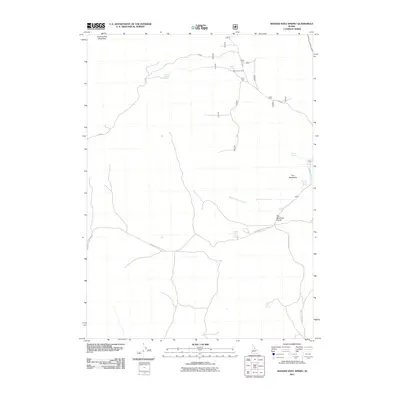 2011 Badger Hole Spring2011 Print · USGSOneida County's high-country ranching landscape is well-defined in this recent survey of the southern Idaho uplands. Researchers can trace seasonal grazing sites like Salyer Cow Camp and essential water sources such as Badger Hole Spring and Huffman Springs.
 - 2011 Map of Dairy Creek, 2011 Print
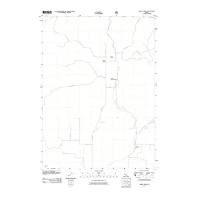 2011 Dairy Creek2011 Print · USGSBannock County is shown in detail during the early 21st century, centered on the canyons and springs of the high Idaho landscape. Researchers can locate family landmarks and water sources like Harold Johns Canyon, Cowley Spring, and the peaks of Mount Elkhorn.
 - 2011 Map of Sublett Troughs, 2011 Print
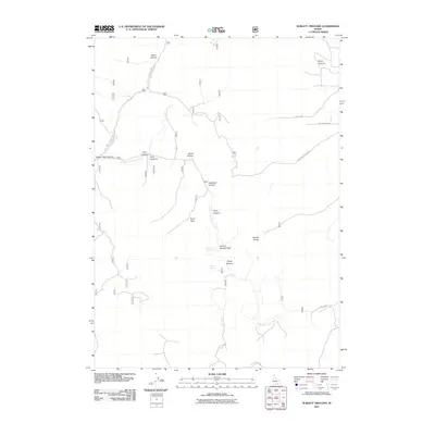 2011 Sublett Troughs2011 Print · USGSHigh in the Idaho mountains during the early twenty-first century, this survey tracks the remote ridges and canyons of the Sublett Range. Researchers can trace the path of forest roads to high-altitude landmarks like Eyrie Peak, Summit Springs, and the deep Twin Canyons.
Showing maps 1-25 of 117
Top cities of Oneida County
Frequently asked questions
- What are the different types of historical maps available for Oneida County?
- What is the oldest map of Oneida County?
- Where can I purchase historical maps of Oneida County for my home or office?
- Where can I download high-res historical maps of Oneida County?
- Are there historical topographic maps available for Oneida County?
- Is there historical aerial imagery available for Oneida County?
- Where are historical maps of Oneida County sourced from?