2020s Maps of Oneida County, Idaho
Explore 78 historic maps of Oneida County from the 2020s. These maps offer a rare glimpse into what life looked like during the 2020s — showing old roads, neighborhoods, homes, and landmarks that have changed or disappeared over time.
Whether you're researching your family's past, planning a metal detecting trip, or studying how Oneida County's landscape evolved across the 2020s, these high-resolution maps are a powerful tool for exploring the history of this region.
- Focus on a specific era: All maps on this page are from the 2020s, giving you a focused view of this time period.
- See what’s changed: Compare century-old streets, trails, and buildings to today's modern landscape using overlays and satellite layers.
- Research with precision: Use these maps for genealogy, historical research, land use analysis, or educational projects.
- View, download, or print: Maps are fully viewable online in high resolution, and can be downloaded or printed for your own records.
Start exploring Oneida County's history through authentic maps from the 2020s. This is your window into the past.
Oneida County, ID maps
(78)- 2020 Map of Monument Peak NW, 2020 Print
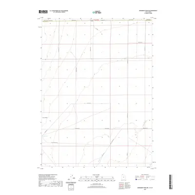 2020 Monument Peak NW2020 Print · USGSThe northern reaches of the Curlew Valley appear in detail at the turn of the twenty-first century along the Utah-Idaho border. Researchers can trace the essential water sources of this arid landscape at Coyote Spring and along the seasonal course of Deep Cr.
 - 2020 Map of Snowville, 2020 Print
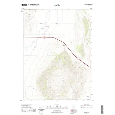 2020 Snowville2020 Print · USGSThe high desert of northern Box Elder County is captured here in the contemporary era, centered on the settlement of Snowville. Genealogists and local historians can trace the town's footprint, including the Snowville Cem, the PO, and the drainage of Deep Cr.
 - 2020 Map of Monument Peak NE, 2020 Print
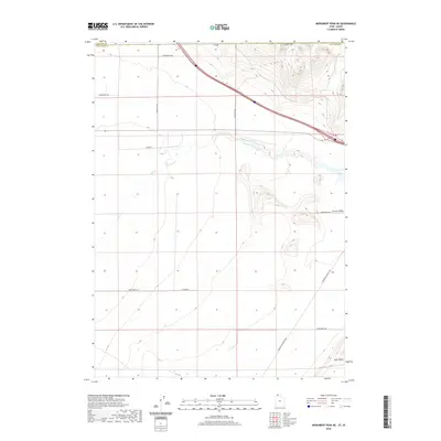 2020 Monument Peak NE2020 Print · USGSBox Elder County at the Idaho border is shown here as a wide basin of ranching land and desert valleys during the early twenty-first century. Researchers can trace the path of Deep Creek and find rural landmarks like the Stone Hills and Locomotive Springs Rd.
 - 2020 Map of Rattlesnake Pass, 2020 Print
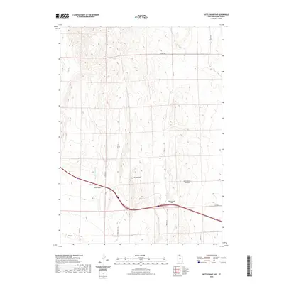 2020 Rattlesnake Pass2020 Print · USGSBox Elder County at the start of the 2020s remains a high desert landscape shaped by its valleys and mountains. Modern researchers can trace the rural road grid and seasonal drainage through Hansel Valley and locate the crossing at Rattlesnake Pass.
 - 2020 Map of Clarkston, 2020 Print
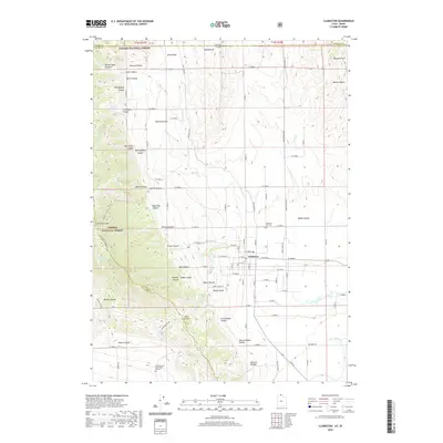 2020 Clarkston2020 Print · USGSThe Cache Valley and its rugged western ridges are captured here in the contemporary era. Researchers can trace family history through the Clarkston City Cem and James Barnet Cole Burial Ground, or explore the terrain of Clarkston Mtn and Hammond Flat.
 - 2020 Map of Curlew Junction, 2020 Print
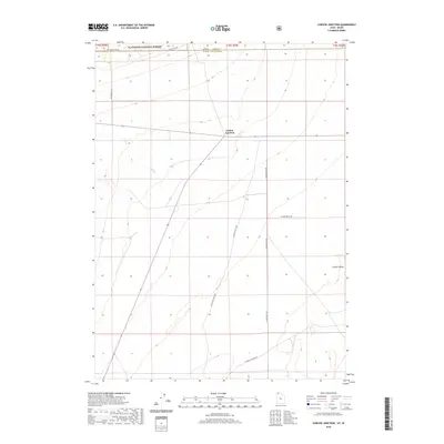 2020 Curlew Junction2020 Print · USGSThe Idaho-Utah borderlands near Curlew Junction are captured here as they appeared in 2020. Researchers can trace the rugged intersection of Sawtooth National Forest and Curlew Valley through landmarks like Pilot Spring.
 - 2020 Map of Portage, 2020 Print
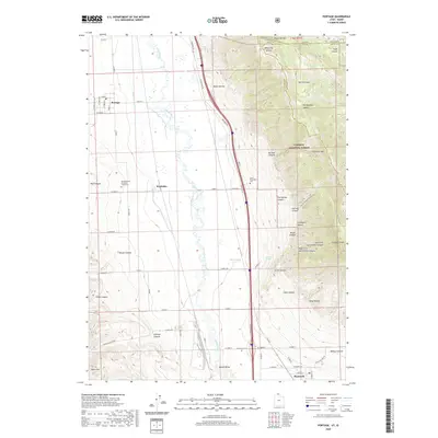 2020 Portage2020 Print · USGSThe Malad Valley at the edge of the Caribou National Forest reveals a landscape of irrigation and historical burial sites. Researchers can trace the legacy of local settlements through the Northwestern Shoshoni Tribal Cem and the Early Plymouth Cem.
 - 2020 Map of The Cove, 2020 Print
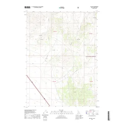 2020 The Cove2020 Print · USGSOneida County's high-desert canyons and ranges are captured here in the late twenty-teens, showing the intersection of public lands and livestock country. Trace the winding paths of Cow Canyon Rd past Table Mtn or explore the boundaries of the Curlew National Grassland.
 - 2020 Map of Holbrook, 2020 Print
 2020 Holbrook2020 Print · USGSHolbrook and the Curlew National Grassland are shown in detail as they appeared in 2020. Genealogists and local historians can locate Holbrook Cem and trace the drainage of Meadow Brook Cr near the slopes of Lookout Mtn.
 - 2020 Map of Arbon, 2020 Print
 2020 Arbon2020 Print · USGSArbon and the surrounding high-country valley are captured here in the twenty-first century, showcasing a landscape of isolated homesteads and family-named roads. Genealogists and local historians can locate the Arbon Valley Cem and trace routes like Willow Hollow Rd and Lake Canyon Rd.
 - 2020 Map of Malad Summit, 2020 Print
 2020 Malad Summit2020 Print · USGSSoutheastern Idaho's mountain passes and forest lands are captured here in the years following the turn of the millennium. Researchers can trace the alignment of N Old Highway 191 and locate vital water sources like Devil Creek Reservoir and Heath Spring.
 - 2020 Map of Black Pine Peak, 2020 Print
 2020 Black Pine Peak2020 Print · USGSThe high peaks of Cassia County are captured in this recent survey of the Idaho backcountry. Researchers can trace the water sources and access routes through the Sawtooth National Forest, locating landmarks like War Eagle Peak and Formation Springs.
 - 2020 Map of Stone, 2020 Print
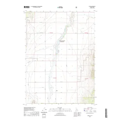 2020 Stone2020 Print · USGSThe rural community of Stone is documented here in the early twenty-first century, surrounded by the open spaces of the Curlew National Grassland. Genealogists and local historians can trace family land and road networks like Mills Rd and Black Pine Rd along the Deep Creek corridor.
 - 2020 Map of Badger Hole Spring, 2020 Print
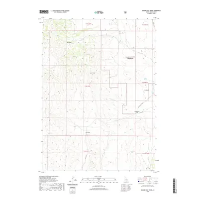 2020 Badger Hole Spring2020 Print · USGSOneida County's high-desert landscape is documented here during the early twenty-first century, showing the intersection of federal lands and vital water sources. Researchers can trace the drainage of Meadow Brook Cr and locate remote landmarks like Badger Hole Spring and Huffman Springs.
 - 2020 Map of Elkhorn Peak, 2020 Print
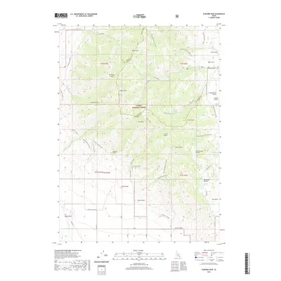 2020 Elkhorn Peak2020 Print · USGSSoutheast Idaho’s high mountain terrain is shown here during the early twenty-first century, spanning the rugged divide of the Caribou National Forest. Researchers can trace the drainage of the Little Malad River or locate remote landmarks like Elkhorn Peak and Old Canyon Meadow.
 - 2020 Map of Co-op Spring, 2020 Print
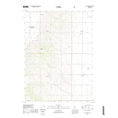 2020 Co-op Spring2020 Print · USGSThe high desert along the Idaho-Utah border is documented here in the early twenty-first century, showing the remote ranching and conservation lands of Box Elder County. Researchers can trace land use through Curlew National Grassland and find water sources like Co-op Spring and the Curlew Valley Reservoir.
 - 2020 Map of Roy, 2020 Print
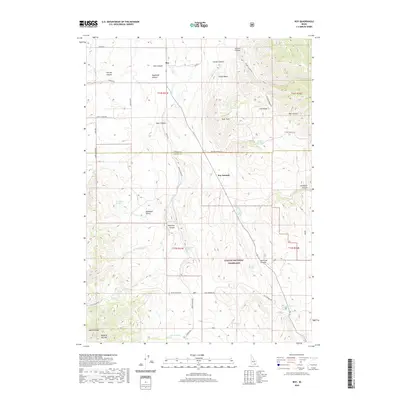 2020 Roy2020 Print · USGSPower and Oneida counties in the early twenty-first century are defined by high-desert basins and the sprawling Curlew National Grassland. Researchers can trace the rugged topography of Rockland Valley and identify local water sources like Sagehen Springs and Kurtz Spring.
 - 2020 Map of Deep Creek Peak, 2020 Print
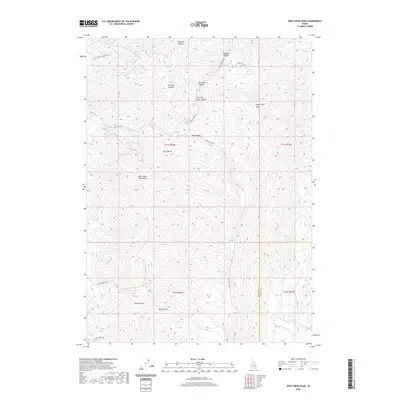 2020 Deep Creek Peak2020 Print · USGSOneida County's high-country terrain is captured here in the contemporary era, showing the rugged network of ridges and drainages that define the Idaho landscape. Researchers can trace historical access routes through the mountains via Portage Canyon Rd and locate landmarks like Deep Creek Peak and Bannock Cr.
 - 2020 Map of Buist, 2020 Print
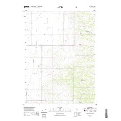 2020 Buist2020 Print · USGSOneida County's high-desert ranching country is captured here during the 2020s, showing the intersection of local life and the vast Curlew National Grassland. Researchers can trace the rugged topography from the settlement of Buist through landmarks like Jensen Pass and the remote Morgan Jones Canyon.
 - 2020 Map of Dairy Creek, 2020 Print
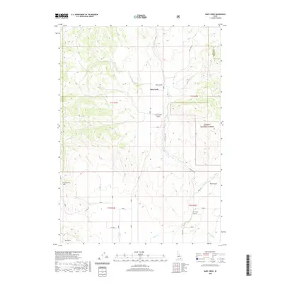 2020 Dairy Creek2020 Print · USGSSouthern Idaho's ranching country comes into focus in this contemporary survey of the high desert and canyon lands. Local historians can trace family-named landmarks and essential water sources like Cowley Spring, Tom Perry Canyon, and Little Malad Spring.
 - 2020 Map of Daniels, 2020 Print
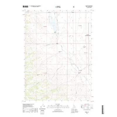 2020 Daniels2020 Print · USGSOneida County's high-country landscape is documented here in the early twenty-first century, centered on the Daniels settlement and the Daniels Reservoir. Genealogists and researchers can trace the drainages of Sublette Canyon and Morgan Jones Canyon or locate family-named landmarks like Bill Morgan Canyon.
 - 2020 Map of Samaria, 2020 Print
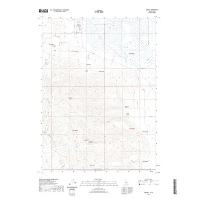 2020 Samaria2020 Print · USGSThe Idaho-Utah borderlands near the settlement of Samaria are documented here in the early twenty-first century. Genealogists and local historians can trace family-named landmarks like Thomas Davis Springs and Gardner Canyon alongside the waters of Samaria Lake.
 - 2020 Map of Sheep Creek Spring, 2020 Print
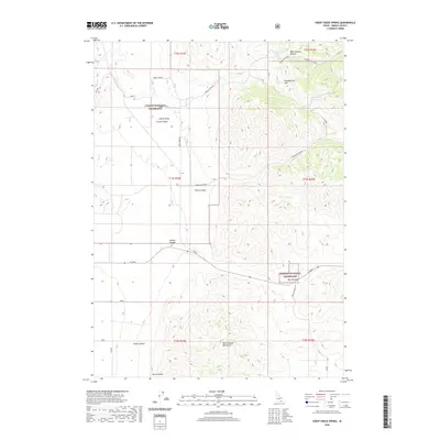 2020 Sheep Creek Spring2020 Print · USGSOneida County's rangelands are shown here in the early twenty-first century, centered on the protected grazing of the Curlew National Grassland. Researchers can trace the water sources and access roads like Sheep Creek Spring and Wood Canyon Rd that define life in Curlew Valley.
 - 2020 Map of Ireland Springs, 2020 Print
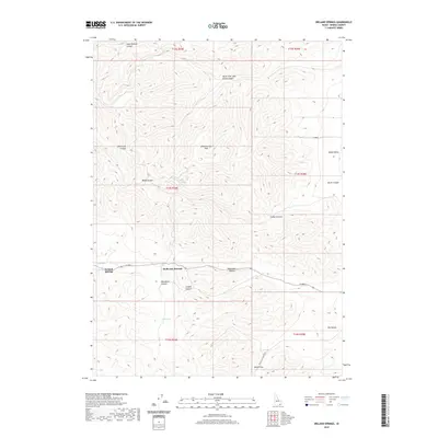 2020 Ireland Springs2020 Print · USGSOneida County's high country is documented here in the early twenty-first century, showing the intricate canyon systems of the Pleasantview Hills. Researchers can trace local landmarks like Ireland Springs, the route over Holbrook Summit, and the named drainages of Mansfield Canyon.
 - 2020 Map of Juniper, 2020 Print
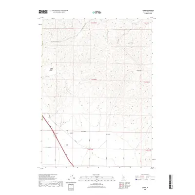 2020 Juniper2020 Print · USGSOneida County's high-desert rangeland is captured here in the modern era, centered on the settlement of Juniper. Local history researchers can trace the ranching landscape through Saddle Horse Basin, Glen Canyon Spring, and the winding Crazy Canyon Rd.
Showing maps 1-25 of 78
Top cities of Oneida County
Frequently asked questions
- What are the different types of historical maps available for Oneida County?
- What is the oldest map of Oneida County?
- Where can I purchase historical maps of Oneida County for my home or office?
- Where can I download high-res historical maps of Oneida County?
- Are there historical topographic maps available for Oneida County?
- Is there historical aerial imagery available for Oneida County?
- Where are historical maps of Oneida County sourced from?