1970s Maps of Montana
Explore 750 historic maps of Montana from the 1970s. These maps offer a rare glimpse into what life looked like during the 1970s — showing old roads, neighborhoods, homes, and landmarks that have changed or disappeared over time.
Whether you're researching your family's past, planning a metal detecting trip, or studying how Montana's landscape evolved across the 1970s, these high-resolution maps are a powerful tool for exploring the history of this region.
- Focus on a specific era: All maps on this page are from the 1970s, giving you a focused view of this time period.
- See what’s changed: Compare century-old streets, trails, and buildings to today's modern landscape using overlays and satellite layers.
- Research with precision: Use these maps for genealogy, historical research, land use analysis, or educational projects.
- View, download, or print: Maps are fully viewable online in high resolution, and can be downloaded or printed for your own records.
Start exploring Montana's history through authentic maps from the 1970s. This is your window into the past.
Montana maps
- 1970 Map of Pine Creek, 1973 Print
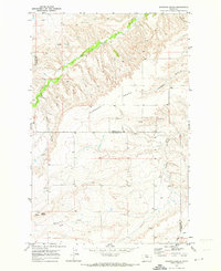
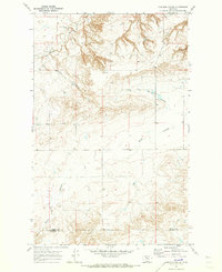
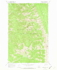
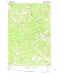
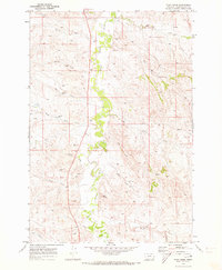 1970 Pine Creek1973 Print · USGSPowder River County in the early 1970s is a landscape of meandering waterways and emerging industry. Researchers can trace the development of the region through scattered Drill Hole sites and local landmarks like Rocky Butte and Bell Tower.
 - 1970 Map of Crimson Peak, 1973 Print
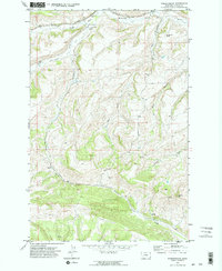
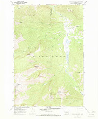
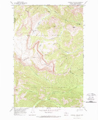
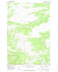
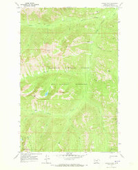 1970 Crimson Peak1973 Print · USGSIn the early 1970s, this area of Powell County remained a preserved backcountry of the Bob Marshall Wilderness. Hikers and researchers can trace the original routes of the Blackfoot Divide Trail (Track) and find landmarks like Crimson Lake and Youngs Pass.2 unique versions available
 - 1970 Map of Buffalo, 1973 Print
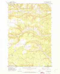
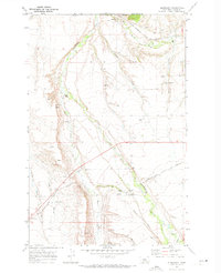
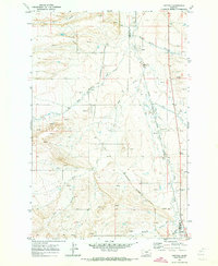 1970 Buffalo1973 Print · USGSJudith Basin and Fergus counties are captured at the start of the 1970s as a high-plains crossroads of rail and water. Researchers can trace the dual routes of the Burlington Northern and the Milwaukee Road through settlements like Buffalo and Garnell.
 - 1970 Map of Circle Bridge, 1973 Print
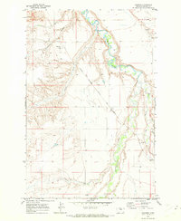
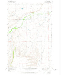
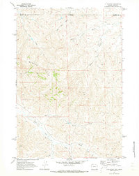
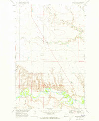 1970 Circle Bridge1973 Print · USGSNorthern Montana river country is captured in the early seventies, centered on the deep valley of the Marias River. Trace local history at Circle Bridge, Moffat Bridge, and the remote Erickson Cem.
 - 1970 Map of Harwood Bench, 1973 Print
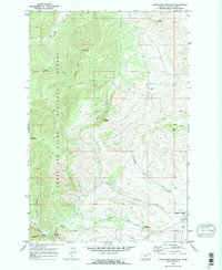
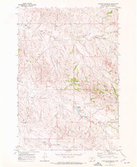
 1970 Harwood Bench1973 Print · USGSFergus and Judith Basin counties are captured here in the early 1970s, showing a vast ranching landscape centered on the high Harwood Bench. Researchers can trace the path of the C M St P & P railroad and locate family-named landmarks like Indian Buttes.
 - 1970 Map of Forestgrove, 1973 Print
 1970 Forestgrove1973 Print · USGSForestgrove and the surrounding Fergus County foothills are captured here in the early 1970s. Researchers can trace the Chicago Milwaukee St Paul and Pacific rail line and locate local landmarks like the Cem and McDonald Butte.2 unique versions available
 - 1970 Map of Danvers, 1973 Print
 1970 Danvers1973 Print · USGSFergus County's ranching and rail landscapes come into focus here during the early 1970s. Genealogists and historians can trace the Milwaukee Road through settlements like Danvers, Ware, and Amherst.
 - 1970 Map of Woodhurst Mountain, 1973 Print
 1970 Woodhurst Mountain1973 Print · USGSThe Judith Basin highlands come into focus in the early 1970s, showcasing the high-elevation terrain of the LEWIS AND CLARK NATIONAL FOREST. Genealogists and researchers can trace local landmarks like Sapphire Village, the Judith River Game Range Hdqrs, and the Strip Mine near Willow Creek.2 unique versions available
 - 1970 Map of Carlson Coulee, 1973 Print
 1970 Carlson Coulee1973 Print · USGSThe northern Montana high plains appear in the early seventies, centered on the settlement of Armstrong. Local historians can trace the deep erosional cuts of Pondera Coulee and Alkali Springs Coulee or follow the historic Bootlegger Trail.
 - 1970 Map of South Bench, 1973 Print
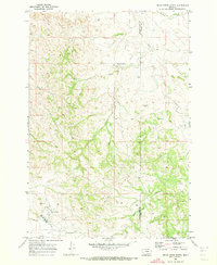
 1970 South Bench1973 Print · USGSFergus and Golden Valley counties in the early seventies reveal a high-plains landscape where the Little Snowy Mountains meet the central Montana benches. Researchers can trace land use near Ashbridge Spring, locate a remote Cem, and explore the headwaters of North Fork Flatwillow Creek.
 - 1970 Map of Utica, 1973 Print
 1970 Utica1973 Print · USGSUtica and the Judith Basin are captured here in the early seventies, showing a ranching landscape defined by the Judith River and its many coulees. Researchers can locate the Utica Cem, trace the Ackley Lake Feeder Canal, and identify sites like Rosman and Red Shed Lake.
 - 1970 Map of Sanburn Reservoir, 1973 Print
 1970 Sanburn Reservoir1973 Print · USGSPowder River County ranch land is captured here in the early seventies during a period of energy exploration. Trace early water management and oil ventures through Sanburn Reservoir, various Oil Wells, and the CCC Reservoir.
 - 1970 Map of Danaher Mountain, 1973 Print
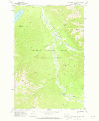
 1970 Danaher Mountain1973 Print · USGSThe Bob Marshall Wilderness in the early 1970s remained a remote landscape of pack trails and alpine summits. Researchers can trace historic mountain routes like the Hahn Creek Trail and locate the isolated Danaher Guard Station near Danaher Meadows.2 unique versions available
 - 1970 Map of Belle Creek North, 1973 Print
 1970 Belle Creek North1973 Print · USGSSoutheastern Montana is shown during a period of industrial growth in the early 1970s, as energy extraction transformed the high plains. Researchers can trace the development of Belle Creek and its remote Landing Strip alongside the Duncan Creek Sch.
 - 1970 Map of Poverty Coulee NE, 1973 Print
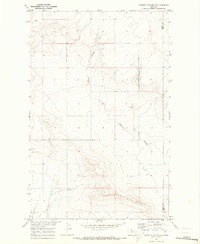 1970 Poverty Coulee NE1973 Print · USGSLiberty and Hill counties meet at this high plains divide in the early seventies, showing a landscape of seasonal waterways and open range. Researchers can trace the drainage of Black Coulee, the heights of Dobie Ridge, and the section lines surrounding Bison.
 - 1970 Map of Big Salmon Lake East, 1973 Print
 1970 Big Salmon Lake East1973 Print · USGSThe Bob Marshall Wilderness during the 1970s reveals a vast landscape managed by the Forest Service before modern development. Trace the remote network of Pack Trails connecting Holbrook Guard Sta and fords along the South Fork Flathead River.
 - 1970 Map of Cathedral Peak, 1973 Print
 1970 Cathedral Peak1973 Print · USGSThe northern Montana wilderness is captured here in the early 1970s, showing a landscape defined by mountain peaks and pack trails. Trace remote paths like the Silvertip Trail past Cathedral Peak and down to the banks of Black Bear Creek.2 unique versions available
 - 1970 Map of Scapegoat Mountain, 1973 Print
 1970 Scapegoat Mountain1973 Print · USGSThe high country of Lewis and Clark County is documented in the early 1970s, showcasing the intricate network of wilderness pack trails. Trace the routes through Straight Creek Pass and identify remote administrative sites like Green Fork Guard Sta and Carmichael Guard Sta.
 - 1970 Map of Steamboat Mountain, 1973 Print
 1970 Steamboat Mountain1973 Print · USGSThe Lewis and Clark National Forest backcountry comes into focus in the early 1970s, showing a rugged landscape of high peaks and isolated ranch outposts. Researchers can trace remote trails to find Cataract Falls, Elk Creek Ranch, and the C Barn Camp along the Dearborn River.2 unique versions available
 - 1970 Map of Penzer School, 1973 Print
 1970 Penzer School1973 Print · USGSThe northern plains of Liberty and Chouteau counties are captured here in the early 1970s, focused on the breaks of the Marias River. Researchers can locate the Penzer Sch and trace the deep drainage patterns of Dead Indian Coulee and Lees Lake.
 - 1970 Map of Jakie Creek, 1973 Print
 1970 Jakie Creek1973 Print · USGSThe Montana backcountry along the Continental Divide is captured here in the early seventies, spanning two national forests. Researchers can trace the remote Welcome Creek Guard Sta and historic pack trails leading to Steamboat Mtn Lookout and Twin Lakes.
 - 1970 Map of Alaska Bench, 1973 Print
 1970 Alaska Bench1973 Print · USGSFergus County in the early seventies is a landscape of high plateaus and deep canyons at the edge of the mountains. Local historians can trace the isolated settlement of Holt and the winding path of Red Hill Road through the Lewis and Clark National Forest.
 - 1970 Map of Glengarry, 1973 Print
 1970 Glengarry1973 Print · USGSFergus County's rail-and-creek landscape is captured here in the early seventies as the railroad still shaped local commerce. Genealogists and researchers can trace the tracks of the Chicago Milwaukee St Paul and Pacific past Hanover, Glengarry, and the McMillian Ditch.
 - 1970 Map of O T O Ranch, 1973 Print
 1970 O T O Ranch1973 Print · USGSThe Montana and Wyoming state line bisects this ranching landscape during the early 1970s, showing the high-country drainages of the Badger Hills. Researchers can trace the boundaries of the 77 Ranch and OTO Ranch near Spring Creek.2 unique versions available
 - 1970 Map of Prairie Reef, 1973 Print
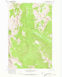 1970 Prairie Reef1973 Print · USGSThe Bob Marshall Wilderness and Sun River Game Preserve are captured here in the early 1970s. Trace the Continental Divide and find remote outposts like the Indian Point Guard Sta and the Prairie Reef Lookout.3 unique versions available
Showing maps 1-25
Top cities of Montana
- Billings historical maps
- Missoula historical maps
- Great Falls historical maps
- Bozeman historical maps
- Butte historical maps
- Helena historical maps
See more
Top counties of Montana
- Yellowstone County historical maps
- Missoula County historical maps
- Gallatin County historical maps
- Flathead County historical maps
- Cascade County historical maps
- Lewis and Clark County historical maps
See more
Frequently asked questions
- What are the different types of historical maps available for Montana?
- What is the oldest map of Montana?
- Where can I purchase historical maps of Montana for my home or office?
- Where can I download high-res historical maps of Montana?
- Are there historical topographic maps available for Montana?
- Is there historical aerial imagery available for Montana?
- Where are historical maps of Montana sourced from?