1990s Maps of Montana
Explore 854 historic maps of Montana from the 1990s. These maps offer a rare glimpse into what life looked like during the 1990s — showing old roads, neighborhoods, homes, and landmarks that have changed or disappeared over time.
Whether you're researching your family's past, planning a metal detecting trip, or studying how Montana's landscape evolved across the 1990s, these high-resolution maps are a powerful tool for exploring the history of this region.
- Focus on a specific era: All maps on this page are from the 1990s, giving you a focused view of this time period.
- See what’s changed: Compare century-old streets, trails, and buildings to today's modern landscape using overlays and satellite layers.
- Research with precision: Use these maps for genealogy, historical research, land use analysis, or educational projects.
- View, download, or print: Maps are fully viewable online in high resolution, and can be downloaded or printed for your own records.
Start exploring Montana's history through authentic maps from the 1990s. This is your window into the past.
Montana maps
(854)- 1990 Map of Lost Creek Divide, 1997 Print
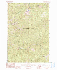
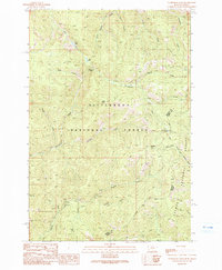
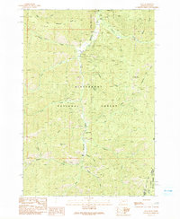
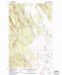
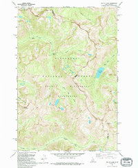
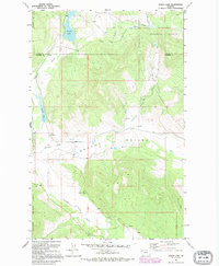
 1990 Lost Creek Divide1997 Print · USGSFlathead County's high ridges and forest service lands are captured here in the 1990s, just as modern mapping revisions were being finalized. Researchers can trace the drainage patterns of Lost Creek and the high elevations along the Reid Divide or Mountain Meadow.
 - 1991 Map of Piquett Mountain
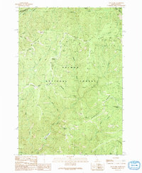
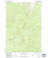
 1991 Piquett Mountain1991 Print · USGSRavalli County's high wilderness is documented in the early 1990s, centered on the heights of the Bitterroot National Forest. Researchers can trace old trails and resource history through labels for prospects near Jew Mountain and alpine waters like Shelf Lake.2 unique versions available
 - 1991 Map of Horse Creek Pass
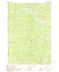
 1991 Horse Creek Pass1991 Print · USGSThe Montana-Idaho borderlands are captured here in the early nineties, showcasing a high-country wilderness defined by the Bitterroot National Forest. Researchers can trace old trails and crossings at Horse Creek Pass and locate Horse Creek Hot Springs.
 - 1991 Map of Tincup Hill
 1991 Tincup Hill1991 Print · USGSHigh wilderness along the Idaho-Montana border is captured here in the early nineties, showing a landscape defined by deep ridges and remote mining claims. Genealogists and historians can locate the Oreana Lookout, the Blue Plate Mine, and high-country trails crossing Long Tom Ridge.
 - 1991 Map of Henderson Ridge
 1991 Henderson Ridge1991 Print · USGSThe high Idaho-Montana borderlands are captured here in the early 1990s, showcasing a landscape of remote national forests and high ridges. Researchers can locate backcountry landmarks like Henderson Cabin, the Taylor Creek Mine, and Irishmans Rock.2 unique versions available
 - 1991 Map of Painted Rocks Lake
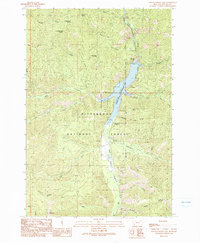 1991 Painted Rocks Lake1991 Print · USGSThe high Bitterroot country of the early nineties is centered on the recently surveyed Painted Rocks Lake and its surrounding wilderness. Researchers can trace historic pack routes like the Castle Rock Trail (Pack) and locate landmarks such as West Fork Dam and Slate Point.2 unique versions available
 - 1991 Map of Overwhich Falls
 1991 Overwhich Falls1991 Print · USGSThe high Bitterroot Divide at the Montana-Idaho border is captured here in the early 1990s, where two national forests meet. Researchers can trace remote mineral sites like Emmett and Prospect or navigate the alpine terrain near Overwhich Falls and Capri Lake.2 unique versions available
 - 1991 Map of Allan Mountain
 1991 Allan Mountain1991 Print · USGSThe high divide of the Montana-Idaho border comes into focus in the early nineties, revealing a high-country landscape of forest reserves and isolated watersheds. Trace the locations of early resource exploration at the Mine Shaft and Prospect sites or locate remote springs like Indian Spring.2 unique versions available
 - 1991 Map of Shoup
 1991 Shoup1991 Print · USGSThe Idaho-Montana borderlands at the start of the 1990s reveal a landscape of mining history and protected wilderness. Researchers can trace historic extraction sites like the Spring Creek Mines and the Gregor Mine near the banks of the Salmon River.
 - 1991 Map of Bare Cone
 1991 Bare Cone1991 Print · USGSThe Bitterroot mountains and the Montana-Idaho border come alive in the 1990s through these detailed wilderness surveys. Trace high-country routes like the Old Nez Perce Trail (Pack) Route or locate landmarks like the Bare Cone Lookout Tower.2 unique versions available
 - 1991 Map of Alta
 1991 Alta1991 Print · USGSThe Bitterroot National Forest at the Montana-Idaho border shows a landscape defined by 1980s mining and wilderness management. Trace the legacy of extraction at the Lucky Joe Mine or find early sites like Alta and the Cooper Place.2 unique versions available
 - 1991 Map of Mount Jerusalem, 1994 Print
 1991 Mount Jerusalem1994 Print · USGSThe high alpine country of the Montana-Idaho border comes alive in the early nineties, showcasing the remote crests of the Bitterroot range. Trace historic access routes along the Pack Trail to reach Canyon Lake, Bare Peak, or Jerusalem Lake.
 - 1991 Map of Blue Joint, 1994 Print
 1991 Blue Joint1994 Print · USGSThe high wilderness of the Bitterroot and Salmon national forests is captured here in the early nineties at the junction of the Idaho and Montana state lines. Researchers can trace remote high-country water sources and peaks, including Line Lake, Squaw Peak, and Two Buck Spring.
 - 1991 Map of Boulder Peak, 1994 Print
 1991 Boulder Peak1994 Print · USGSRavalli County in the early nineties remains a bastion of wild terrain and forest management along the Bitterroot River. Genealogists and historians can trace local landmarks like Krueger Ranch, the isolated Rombo Cem, and historic routes like the Nez Perce Indian Trail.
 - 1991 Map of Hash Mountain, 1995 Print
 1991 Hash Mountain1995 Print · USGSThe Flathead Valley meets the high ridges of the national forest in this 1990s study of the mountain landscape. Genealogists and historians can locate the Cayuse Prairie Sch, Mountain Brook Sch, and the Fish Hatchery near Lake Blaine.
 - 1991 Map of Creston, 1995 Print
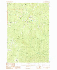
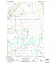 1991 Creston1995 Print · USGSFlathead Valley's intricate network of oxbows and sloughs is captured here during the late twentieth century. Researchers can trace rural school locations like Fairview Sch and Egan Sch or explore the shifting banks of the Flathead River and Egan Slough.
 - 1991 Map of Rhodes, 1995 Print
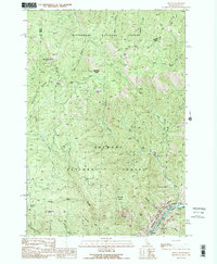
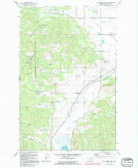
 1991 Rhodes1995 Print · USGSThe Stillwater River valley in Flathead County comes into focus here during the early 1990s. Genealogists and local historians can trace the foundations of the community through the Bissell Sch, Stillwater Ch, and the Northwest Flathead Community Hall.
 - 1991 Map of Lone Lake, 1995 Print
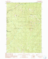
 1991 Lone Lake1995 Print · USGSFlathead County's timberlands and mountain lakes are captured here in the early nineties, showing a region managed for both forest resources and recreation. Genealogists and researchers can locate the Mountain View Sch, a Gravel Pit, and the shoreline of Ashley Lake.
 - 1991 Map of Somers, 1995 Print
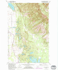
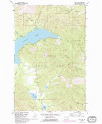
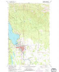
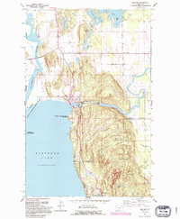
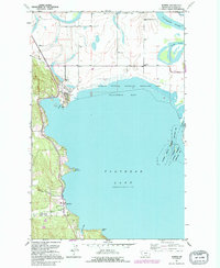 1991 Somers1995 Print · USGSThe northwestern shores of Flathead Lake come into focus in the early nineties as lakeside settlements and conservation areas matured. Researchers can trace the heritage of the region through the Somers lakefront, the historic Bethel Cem, and the Rousselle Sch.
 - 1991 Map of Whitefish, 1995 Print
 1991 Whitefish1995 Print · USGSWhitefish was evolving into a year-round mountain destination in the early nineties, as recreational development expanded along the lake and the peaks. Trace the growth of Whitefish and explore landmarks like Big Mountain Ski Resort, Mistletoe Mine, and Whitefish Lake Golf Club.
 - 1991 Map of Tin Cup Lake, 1995 Print
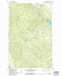
 1991 Tin Cup Lake1995 Print · USGSThe Bitterroot Range along the Idaho-Montana border remained a high-country wilderness in the early nineties, accessible primarily by traditional routes. Backcountry travelers and historians can trace the Pack Trail past Tin Cup Lake, Patsy Ann Falls, and the Triple Lakes.
 - 1991 Map of Blue Grass Ridge, 1995 Print
 1991 Blue Grass Ridge1995 Print · USGSThe ranching country of Smith Valley is shown here in the 1990s as a community of small rural schools and family-held lands. Genealogists and local historians can trace legacy properties like Keller Ranch or locate burials at Spring Creek Cem and landmarks like Stillwater Grange.
 - 1991 Map of Bigfork, 1995 Print
 1991 Bigfork1995 Print · USGSThe northeast shores of Flathead Lake come alive in the 1990s as the community of Bigfork grows around its river mouth. Genealogists and historians can trace local settlements from Holt to Woods Bay, and locate landmarks like Bethany Ch and the Bigfork Dam.
 - 1991 Map of Doris Mountain, 1995 Print
 1991 Doris Mountain1995 Print · USGSThe Flathead National Forest during the early nineties reveals a landscape of high-altitude lakes and river infrastructure. Trace the northern waters of Hungry Horse Reservoir and the winding Alpine Trail near Doris Mountain.
 - 1991 Map of Lynch Lake, 1995 Print
 1991 Lynch Lake1995 Print · USGSThe borderlands of Lincoln and Flathead Counties are shown in the early 1990s as a landscape of timber and trout streams. Genealogists and historians can trace local landmarks like the Pleasant Valley Sch and water features like Island Lake or the Fisher River.
Showing maps 1-25 of 854
Top cities of Montana
- Billings historical maps
- Missoula historical maps
- Great Falls historical maps
- Bozeman historical maps
- Butte historical maps
- Helena historical maps
See more
Top counties of Montana
- Yellowstone County historical maps
- Missoula County historical maps
- Gallatin County historical maps
- Flathead County historical maps
- Cascade County historical maps
- Lewis and Clark County historical maps
See more
Frequently asked questions
- What are the different types of historical maps available for Montana?
- What is the oldest map of Montana?
- Where can I purchase historical maps of Montana for my home or office?
- Where can I download high-res historical maps of Montana?
- Are there historical topographic maps available for Montana?
- Is there historical aerial imagery available for Montana?
- Where are historical maps of Montana sourced from?