1980s Maps of Montana
Explore 1,101 historic maps of Montana from the 1980s. These maps offer a rare glimpse into what life looked like during the 1980s — showing old roads, neighborhoods, homes, and landmarks that have changed or disappeared over time.
Whether you're researching your family's past, planning a metal detecting trip, or studying how Montana's landscape evolved across the 1980s, these high-resolution maps are a powerful tool for exploring the history of this region.
- Focus on a specific era: All maps on this page are from the 1980s, giving you a focused view of this time period.
- See what’s changed: Compare century-old streets, trails, and buildings to today's modern landscape using overlays and satellite layers.
- Research with precision: Use these maps for genealogy, historical research, land use analysis, or educational projects.
- View, download, or print: Maps are fully viewable online in high resolution, and can be downloaded or printed for your own records.
Start exploring Montana's history through authentic maps from the 1980s. This is your window into the past.
Montana maps
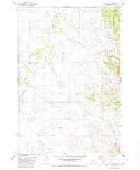
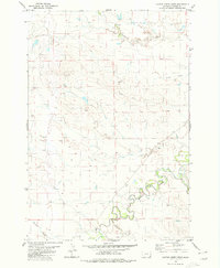
(1,101)- 1980 Map of Mud Butte
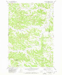
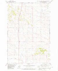
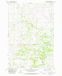
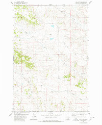 1980 Mud Butte1980 Print · USGSYellowstone County, Montana, is captured here in the late seventies as a landscape of wide-open ranch land and vital water sources. Researchers can locate specific water improvements including several Wells, a Spring, and the drainage of Mud Butte and Mill Creek.
 - 1980 Map of Taylor Hills
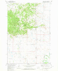
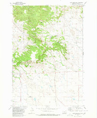
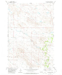 1980 Taylor Hills1980 Print · USGSThe southeastern Montana high plains appear here in the early eighties, defined by the Taylor Hills and the winding Dead Boy Divide. Researchers can trace old ranching routes like Lone Tree Road and locate isolated landmarks such as Soda Lakes and Boxelder Creek.
 - 1980 Map of P K Ranch NE
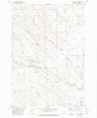
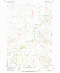
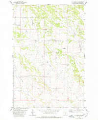 1980 P K Ranch NE1980 Print · USGSYellowstone County ranch land is captured in the 1970s before modern development altered these remote drainages. Researchers can trace land use patterns near Miller Lookout Point and locate a rural Landing Strip near Hibbard Creek.
 - 1980 Map of Bull Mountain NW
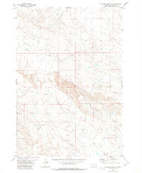
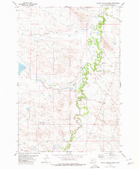
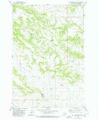 1980 Bull Mountain NW1980 Print · USGSYellowstone County ranchland is captured here in the mid-1970s, showcasing a landscape of high summits and seasonal creeks. Local researchers can locate Castle Butte Cemetery or trace the drainage of Hibbard Creek and Antelope Creek.2 unique versions available
 - 1980 Map of Belltower
 1980 Belltower1980 Print · USGSSoutheast Montana ranching country is captured here during the 1970s, showcasing the transition from open range to the Custer National Forest. Genealogists and historians can trace local landmarks like Belltower, Sykes Corner, and the numerous water catchments such as Burditt Reservoir.
 - 1980 Map of Weed Creek West
 1980 Weed Creek West1980 Print · USGSThe high plains where Rosebud, Musselshell, and Yellowstone Counties meet are captured here during the late twentieth century. Researchers can locate the Cabin Creek Cemetery, an isolated Grave, and numerous water sources like Lemonade Spring.
 - 1980 Map of Broadview West
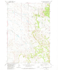
 1980 Broadview West1980 Print · USGSThe Stillwater and Yellowstone county border in the 1970s shows a high plains landscape centered on the rail-side settlement of Broadview. Genealogists and historians can trace the historic Buffalo Trail and the course of Comanche Creek along the Burlington Northern railroad.
 - 1980 Map of Prairie Dog Creek
 1980 Prairie Dog Creek1980 Print · USGSCarter County ranching country is captured here during the early 1980s, showing the open range and water systems of Southeast Montana. Genealogists and historians can trace the paths of Boxelder Creek, Prairie Dog Creek, and Cottonwood Creek.
 - 1980 Map of Steamboat Butte
 1980 Steamboat Butte1980 Print · USGSThe high plains along the boundary of Musselshell and Yellowstone counties are captured here in the late seventies. Researchers can trace the drainage of Hawk Creek and locate industrial markers like the Drill Hole near Shovel Creek.
 - 1980 Map of Capitol Rock
 1980 Capitol Rock1980 Print · USGSThe Montana and South Dakota borderlands are captured here in the early 1980s, highlighting the transition from national forest to the river basin. Researchers can trace land use through named features like Plainview Sch, Capitol Rock, and Wickham Gulch Campground.
 - 1980 Map of Alzada NW
 1980 Alzada NW1980 Print · USGSSoutheastern Montana's high plains are captured here in the late seventies, showing a landscape defined by the winding Little Missouri River. Researchers can trace the drainages of South Cottonwood Creek and North Butte Creek across this rural ranching territory.
 - 1980 Map of Elkhorn Creek SW
 1980 Elkhorn Creek SW1980 Print · USGSSoutheast Montana's rangeland in the early 1980s is defined by its network of seasonal watercourses and remote ranch roads. Researchers can trace the drainage basins of Owl Creek, Twelvemile Creek, and Watson Draw to understand the local topography.
 - 1980 Map of Cactus Creek West
 1980 Cactus Creek West1980 Print · USGSSoutheastern Montana's river bottomlands are captured here in the late 1970s, showcasing the intricate meanders of the Little Missouri River. Genealogists and historians can trace the paths of Cottonwood Creek and Elkhorn Creek or locate a river crossing at the Ford.2 unique versions available
 - 1980 Map of Cherry Spring
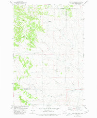
 1980 Cherry Spring1980 Print · USGSThe Montana high plains at the edge of Musselshell County were mapped in the 1980s, revealing a landscape of remote coulees and buttes. Trace the local topography through landmarks like Square Butte, the Mines of the southern hills, and Hawk Creek.
 - 1980 Map of Lame Deer
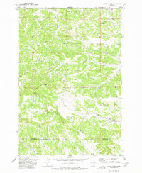
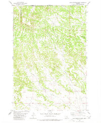
 1980 Lame Deer1980 Print · USGSHigh plains ranching and coal mining define this corner of Montana as the eighties began. Researchers can trace the rail lines of the Burlington Northern and locate sites like Colstrip, Jimtown, and the Big Sky Strip Mine.
 - 1980 Map of Rustler Divide
 1980 Rustler Divide1980 Print · USGSSoutheast Montana ranching and forest lands are captured in the early 1980s, centered on the high Rustler Divide. Researchers can locate historic water improvements and lookouts like Mowbray Reservoir No 1, Speelman, and the Tri Point Lookout Tower.
 - 1980 Map of Finger Buttes East
 1980 Finger Buttes East1980 Print · USGSSoutheastern Montana's high plains are documented here during the late twentieth century, showing a remote ranching landscape in Carter County. Researchers can trace the elevation changes around Finger Buttes and the seasonal water courses of Blacktail Creek and Hay Draw.
 - 1980 Map of North Fork Crooked Creek East
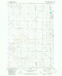
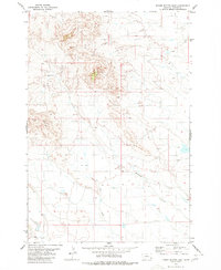
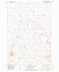
 1980 North Fork Crooked Creek East1980 Print · USGSYellowstone County's high plains are captured here in the early eighties as a landscape of wide basins and intermittent watercourses. Researchers can trace the path of Twentyone Mile Road or locate numerous industrial Well sites near Hoskin Basin.
 - 1980 Map of Dunn Mountain South
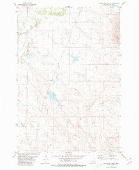
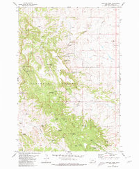
 1980 Dunn Mountain South1980 Print · USGSThe high breaks of Yellowstone County come into focus in the early 1980s as ranching and mining define the local landscape. Genealogists and historians can trace the paths of Pompeys Pillar Creek, locate the Holland Mine, and find the early footprint of Roberts.
 - 1980 Map of Belltower Butte
 1980 Belltower Butte1980 Print · USGSSoutheastern Montana's ranching country unfolds in the early eighties near the edge of the national forest. Researchers can locate remote landmarks such as the Belltower Church, Chimney Rock, and the solitary Grave near the butte.
 - 1980 Map of Sevenmile Creek
 1980 Sevenmile Creek1980 Print · USGSSoutheast Montana ranching country is captured here during the late twentieth century, showing a landscape defined by its vital watercourses. Genealogists and local historians can locate Flasted Ranch and trace the paths of Sevenmile Creek and Fivemile Creek across the plains.
 - 1980 Map of Cotton Creek
 1980 Cotton Creek1980 Print · USGSYellowstone County's rural landscape is captured here in the late seventies, showing a network of high plains drainages and irrigation. Researchers can trace the path of the Billings Bench Water Association Canal and locate North Fork Cotton Creek and Pompeys Pillar Creek.
 - 1980 Map of Camp Needmore
 1980 Camp Needmore1980 Print · USGSSoutheast Montana's ranching and forest lands are captured here in the early 1980s, centered on the intersection of the national forest and the open range. Researchers can locate remote rural landmarks like the Peabody School, the Rodeo Ground, and the Camp Needmore recreational site.2 unique versions available
 - 1980 Map of Albion
 1980 Albion1980 Print · USGSSoutheastern Montana's high plains are documented here in the early eighties, centered on the river valley around Albion. Genealogists and researchers can trace local water crossings at the Ford and follow the drainages of Ninemile Creek and Twelvemile Creek.
 - 1980 Map of School Section Creek
 1980 School Section Creek1980 Print · USGSCarter County ranching country is captured here during the late twentieth century, showing a remote landscape shaped by water and tradition. Genealogists and historians can locate the Johnson School and trace seasonal waterways like Boxelder Creek and Skull Creek.
Showing maps 1-25 of 1,101
Top cities of Montana
- Billings historical maps
- Missoula historical maps
- Great Falls historical maps
- Bozeman historical maps
- Butte historical maps
- Helena historical maps
See more
Top counties of Montana
- Yellowstone County historical maps
- Missoula County historical maps
- Gallatin County historical maps
- Flathead County historical maps
- Cascade County historical maps
- Lewis and Clark County historical maps
See more
Frequently asked questions
- What are the different types of historical maps available for Montana?
- What is the oldest map of Montana?
- Where can I purchase historical maps of Montana for my home or office?
- Where can I download high-res historical maps of Montana?
- Are there historical topographic maps available for Montana?
- Is there historical aerial imagery available for Montana?
- Where are historical maps of Montana sourced from?