2020s Maps of Montana
Explore 5,990 historic maps of Montana from the 2020s. These maps offer a rare glimpse into what life looked like during the 2020s — showing old roads, neighborhoods, homes, and landmarks that have changed or disappeared over time.
Whether you're researching your family's past, planning a metal detecting trip, or studying how Montana's landscape evolved across the 2020s, these high-resolution maps are a powerful tool for exploring the history of this region.
- Focus on a specific era: All maps on this page are from the 2020s, giving you a focused view of this time period.
- See what’s changed: Compare century-old streets, trails, and buildings to today's modern landscape using overlays and satellite layers.
- Research with precision: Use these maps for genealogy, historical research, land use analysis, or educational projects.
- View, download, or print: Maps are fully viewable online in high resolution, and can be downloaded or printed for your own records.
Start exploring Montana's history through authentic maps from the 2020s. This is your window into the past.
Montana maps
(5,990)- 2020 Map of Paul Reservoir, 2020 Print
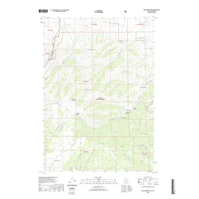 2020 Paul Reservoir2020 Print · USGSHigh in the Beaverhead Mountains during the early twenty-first century, the Continental Divide marks the boundary between Montana and Idaho. Researchers can trace the path of the Continental Divide National Scenic Trail past remote landmarks like Paul Reservoir and Lone Pine Spring.
 - 2020 Map of Goat Mountain, 2020 Print
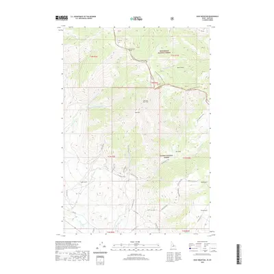 2020 Goat Mountain2020 Print · USGSThe high ridges of the Idaho-Montana border are captured here in the years following the turn of the millennium. Hikers and historians can trace the Continental Divide National Scenic Trail, locate the Buckhorn Mine, and follow the headwaters of the Lemhi River.
 - 2020 Map of Shewag Lake, 2020 Print
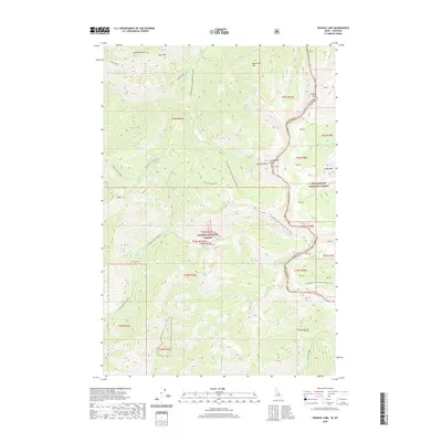 2020 Shewag Lake2020 Print · USGSThe high crest of the Bitterroot range serves as a natural boundary in 2020, where Idaho and Montana meet along the Continental Divide. Researchers can trace the path of the Continental Divide National Scenic Trail past peaks like Eagle Mtn and the waters of Shewag Lake.
 - 2020 Map of Curley Creek, 2020 Print
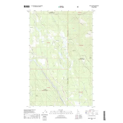 2020 Curley Creek2020 Print · USGSThe Idaho-Montana borderlands meet at the river in the late 2010s, showing a landscape of steep mountain ranges and protected forest. Researchers can trace the path of the Kootenai River Walk or locate remote high points like Leonia Knob and Haystack Mtn.
 - 2020 Map of Scotchman Peak, 2020 Print
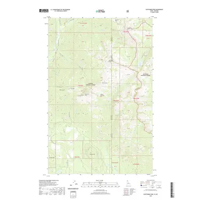 2020 Scotchman Peak2020 Print · USGSThe Idaho-Montana borderlands are showcased in the 2020s, highlighting the towering summits of the Cabinet Mountains. Researchers can trace old mining footprints at Regal Mine or explore the remote drainages of Lightning Creek and Little Spar Lake.
 - 2020 Map of Hoodoo Pass, 2020 Print
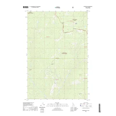 2020 Hoodoo Pass2020 Print · USGSNortheastern Kansas at the turn of the century shows a thriving network of rail lines and rural school districts. Genealogists can trace family homesteads near the M. P. R. R. or locate ancestral sites like McCarty Cemetery and Pleasant Hill School.
 - 2020 Map of Berge Peak, 2020 Print
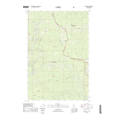 2020 Berge Peak2020 Print · USGSThe Bitterroot Range along the Idaho-Montana border is shown here in the contemporary era, spanning two national forests. Researchers can trace high-altitude water sources and remote landmarks like Summit Springs, Pegleg Mountain, and Lenore Lake.
 - 2020 Map of Adair, 2020 Print
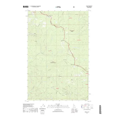 2020 Adair2020 Print · USGSShoshone County and the Montana border are mapped here in the modern era, showing the intersection of mountain peaks and historic rail corridors. Trace the path of the Hiawatha Rail Trail past Adair and locate high-altitude landmarks like Silver Lake, Dominion Peak, and Crittenden Peak.
 - 2020 Map of Sherlock Peak, 2020 Print
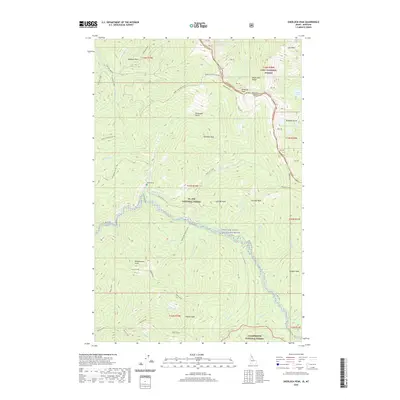 2020 Sherlock Peak2020 Print · USGSThe Bitterroot Range along the Idaho-Montana border remains a wild landscape of high peaks and protected waters in this recent survey. Researchers can trace the headwaters of the Saint Joe Wild and Scenic River and locate the lonely Heller Grave near Sherlock Peak.
 - 2020 Map of Edie Creek, 2020 Print
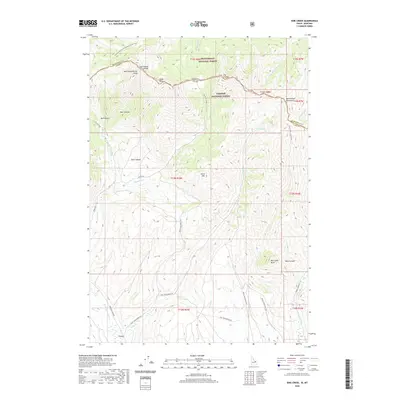 2020 Edie Creek2020 Print · USGSThe high ridgelines of the Montana-Idaho border are captured here in the years following the millennium. Genealogists and local historians can trace the remote settlement of Argora or follow the Continental Divide National Scenic Trail through Beaverhead National Forest.
 - 2020 Map of Mullan, 2020 Print
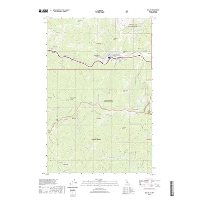 2020 Mullan2020 Print · USGSShoshone County at the turn of the 2020s remains a landscape of industrial heritage and high-mountain passes. Genealogists and local historians can trace the town of Mullan and its three historic cemeteries, or locate the high-altitude Champion Mine and Moon Pass.
 - 2020 Map of Taylor Peak, 2020 Print
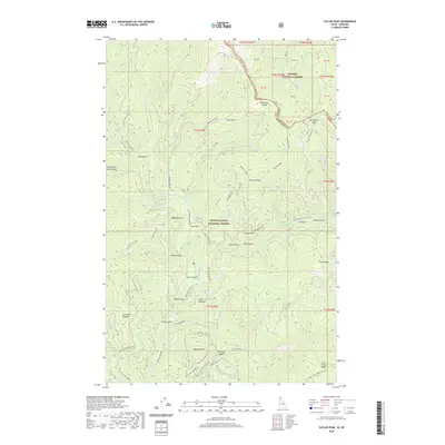 2020 Taylor Peak2020 Print · USGSThe high ridges of the Bitterroot Range along the Idaho-Montana border are shown here in the 2020s. Researchers can trace forest access routes and geographic landmarks like Taylor Peak, the Berlin Gulch settlement area, and Porcupine Pass.
 - 2020 Map of Scott Peak, 2020 Print
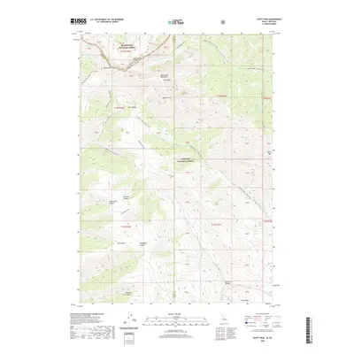 2020 Scott Peak2020 Print · USGSThe high crests of the Beaverhead Mountains define this 2020 survey of the Montana-Idaho border within the Beaverhead National Forest. Geographers and outdoorsmen can trace the Continental Divide across rugged summits like Scott Peak and through deep incisions like Scott Canyon.
 - 2020 Map of Burke, 2020 Print
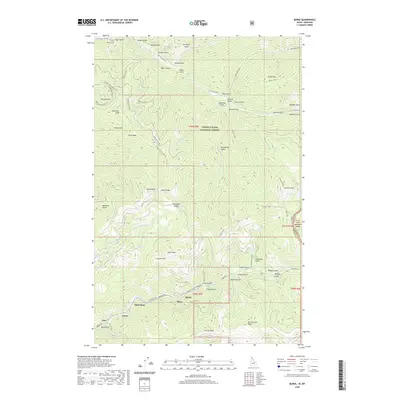 2020 Burke2020 Print · USGSThe Silver Valley mining corridor is captured here in the contemporary era, showing the enduring settlements along Canyon Creek. Researchers can trace the narrow valley floor communities of Burke, Mace, and Gem or locate the Murray Cemetery near the northern forest boundary.
 - 2020 Map of Big Table Mountain, 2020 Print
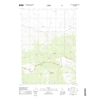 2020 Big Table Mountain2020 Print · USGSThe high ridges of the Centennial Mountains define the border between Montana and Idaho in this 2020 survey. Outdoor enthusiasts and researchers can trace the Continental Divide National Scenic Trail as it passes landmarks like Big Table Mtn and Mule Meadows.
 - 2020 Map of Fritz Peak, 2020 Print
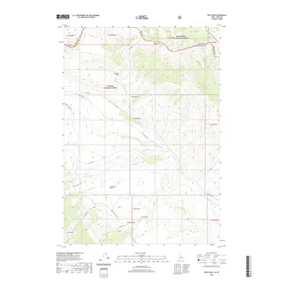 2020 Fritz Peak2020 Print · USGSThe high crest of the Beaverhead Mountains marks the state line in this 2020 survey of the Montana-Idaho border. Researchers can trace historical routes through Bannack Pass and follow the high-altitude Emigrant Trail Rd across the divide.
 - 2020 Map of Murray, 2020 Print
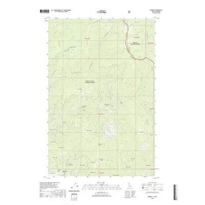 2020 Murray2020 Print · USGSThe remote mountain settlement of Murray is documented here as it appeared in the early twenty-first century. Researchers can trace the drainages and roads of this mining district, from Pennsylvania Gulch and Gold Run to the high elevations of Maple Peak.
 - 2020 Map of Sawtell Peak, 2020 Print
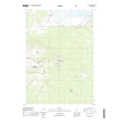 2020 Sawtell Peak2020 Print · USGSThe high peaks of the Centennial Mountains meet the shores of Henrys Lake in the late twenty-teens. Outdoor historians and genealogists can trace property lines in the Webster Subdivision or explore high-altitude landmarks like Sawtell Peak and Schoolhouse Canyon.
 - 2020 Map of Latham Spring, 2020 Print
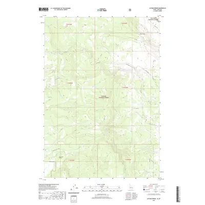 2020 Latham Spring2020 Print · USGSThe high timberlands along the Idaho and Montana border are captured here in the years before the recent decade. Researchers can trace the water systems of Latham Springs and the geological rim of the Island Park Caldera across this remote forest landscape.
 - 2020 Map of Ranger Peak, 2020 Print
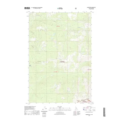 2020 Ranger Peak2020 Print · USGSThe high Divide between Montana and Idaho comes into focus in the early 2020s, showing the borderlands of the Bitterroot and Clearwater forests. Researchers can trace the alpine terrain around Ranger Peak, Old Stormy, and the waters of Rudd-Moore Lakes.
 - 2020 Map of White Sand Lake, 2020 Print
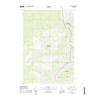 2020 White Sand Lake2020 Print · USGSThe high Bitterroot Range along the Idaho-Montana border is documented here in a contemporary wilderness survey. Researchers can trace historic mountain passages like Packbox Pass and Bear Creek Pass or locate remote alpine waters such as White Sand Lake and Garnet Lake.
 - 2020 Map of Bruin Hill, 2020 Print
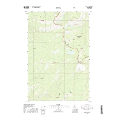 2020 Bruin Hill2020 Print · USGSThe Bitterroot Range forms a natural boundary between Idaho and Montana in this 2020 survey of high-mountain wilderness. Local historians and hunters can trace the terrain from Chilcoot Pass down to the remote waters of Siamese Lakes and Fish Lake.
 - 2020 Map of Hunter Peak, 2020 Print
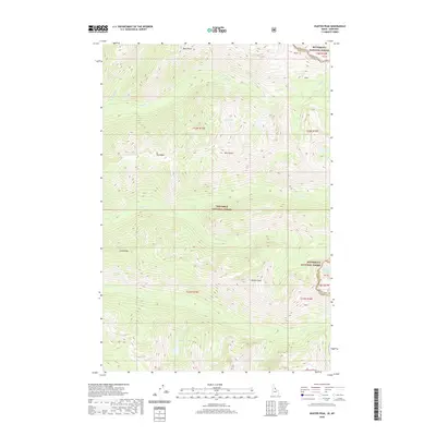 2020 Hunter Peak2020 Print · USGSThe high mountain border between Montana and Idaho is captured here in detail, showcasing the remote wilderness along the state line. Hikers and cartography enthusiasts can trace the steep drainages of Paradise Creek and Spruce Creek or locate high-country landmarks like Hunter Peak and Bigfoot Lake.
 - 2020 Map of Targhee Pass, 2020 Print
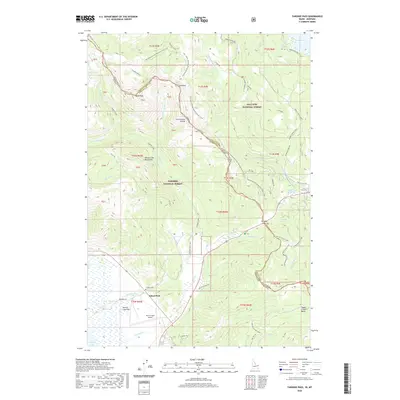 2020 Targhee Pass2020 Print · USGSThe high mountain corridor between Idaho and Montana comes into focus here in the early twenty-first century. Researchers can trace the path of the Continental Divide National Scenic Trail and locate local landmarks like the Targhee Cem and Henry's Lake Airport.
 - 2020 Map of Reas Pass, 2020 Print
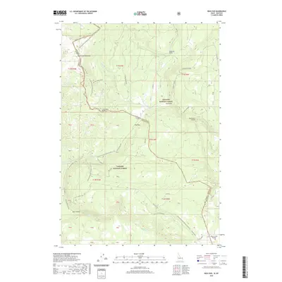 2020 Reas Pass2020 Print · USGSThe high mountain border between Idaho and Montana is captured here in the contemporary era at the crossing of the great divide. Researchers can trace the path of the Railroad Right-Of-Way through Reas Pass and follow the Continental Divide National Scenic Trail across the Henrys Lake Mountains.
Showing maps 1-25 of 5,990
Top cities of Montana
- Billings historical maps
- Missoula historical maps
- Great Falls historical maps
- Bozeman historical maps
- Butte historical maps
- Helena historical maps
See more
Top counties of Montana
- Yellowstone County historical maps
- Missoula County historical maps
- Gallatin County historical maps
- Flathead County historical maps
- Cascade County historical maps
- Lewis and Clark County historical maps
See more
Frequently asked questions
- What are the different types of historical maps available for Montana?
- What is the oldest map of Montana?
- Where can I purchase historical maps of Montana for my home or office?
- Where can I download high-res historical maps of Montana?
- Are there historical topographic maps available for Montana?
- Is there historical aerial imagery available for Montana?
- Where are historical maps of Montana sourced from?