2000s (21st Century) Maps of Cherry County, Nebraska
Explore 512 historic maps of Cherry County from the 2000s (21st Century). These maps offer a rare glimpse into what life looked like during the 2000s — showing old roads, neighborhoods, homes, and landmarks that have changed or disappeared over time.
Whether you're researching your family's past, planning a metal detecting trip, or studying how Cherry County's landscape evolved across the 2000s, these high-resolution maps are a powerful tool for exploring the history of this region.
- Focus on a specific era: All maps on this page are from the 2000s, giving you a focused view of this time period.
- See what’s changed: Compare century-old streets, trails, and buildings to today's modern landscape using overlays and satellite layers.
- Research with precision: Use these maps for genealogy, historical research, land use analysis, or educational projects.
- View, download, or print: Maps are fully viewable online in high resolution, and can be downloaded or printed for your own records.
Start exploring Cherry County's history through authentic maps from the 2000s. This is your window into the past.
Cherry County, NE maps
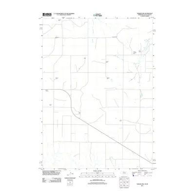
(512)- 2011 Map of Windmill Lake, 2011 Print
 2011 Windmill Lake2011 Print · USGSCovers Cherry County, including United States, Nebraska, and other nearby areas
 - 2011 Map of Purdum NW, 2011 Print
 2011 Purdum NW2011 Print · USGSCovers Cherry County, including Cascade, United States, and other nearby areas
 - 2011 Map of Brownlee Flats, 2011 Print
 2011 Brownlee Flats2011 Print · USGSCovers Cherry County, including Brownlee, United States, and other nearby areas
 - 2011 Map of Simeon, 2011 Print
 2011 Simeon2011 Print · USGSCovers Cherry County, including Simeon, United States, and other nearby areas
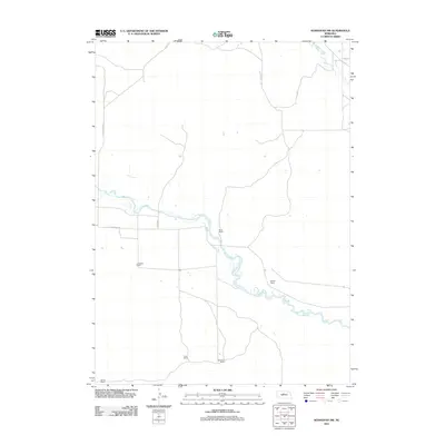
 - 2011 Map of Norden NW, 2011 Print
 2011 Norden NW2011 Print · USGSCovers Cherry County, including Okreek Segment, Keya Paha County, and other nearby areas
 - 2011 Map of Duck Lake NE, 2011 Print
 2011 Duck Lake NE2011 Print · USGSCovers Cherry County, including United States, Nebraska, and other nearby areas
 - 2011 Map of Square Lake, 2011 Print
 2011 Square Lake2011 Print · USGSCovers Cherry County, including United States, Nebraska, and other nearby areas
 - 2011 Map of Purdum, 2011 Print
 2011 Purdum2011 Print · USGSCovers Cherry County, including Purdum, Thomas County, and other nearby areas
 - 2011 Map of Brownlee, 2011 Print
 2011 Brownlee2011 Print · USGSCovers Cherry County, including United States, Nebraska, and other nearby areas
 - 2011 Map of Sparks SE, 2011 Print
 2011 Sparks SE2011 Print · USGSCovers Cherry County, including United States, Nebraska, and other nearby areas
 - 2011 Map of Lowes Lake, 2011 Print
 2011 Lowes Lake2011 Print · USGSCovers Cherry County, including United States, Nebraska, and other nearby areas
 - 2011 Map of Long Lake SW, 2011 Print
 2011 Long Lake SW2011 Print · USGSCovers Cherry County, including United States, Nebraska, and other nearby areas
 - 2011 Map of Crookston East, 2011 Print
 2011 Crookston East2011 Print · USGSCovers Cherry County, including Crookston, St. Francis Segment, and other nearby areas
 - 2011 Map of Koshopah SW, 2011 Print
 2011 Koshopah SW2011 Print · USGSCovers Cherry County, including Brown County, Blaine County, and other nearby areas
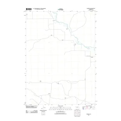
 - 2011 Map of Kennedy, 2011 Print
 2011 Kennedy2011 Print · USGSCovers Cherry County, including Kennedy, United States, and other nearby areas
 - 2011 Map of Kilgore SE, 2011 Print
 2011 Kilgore SE2011 Print · USGSCovers Cherry County, including United States, Nebraska, and other nearby areas
 - 2011 Map of Hudson Lake, 2011 Print
 2011 Hudson Lake2011 Print · USGSCovers Cherry County, including United States, Nebraska, and other nearby areas
 - 2011 Map of Allen Valley, 2011 Print
 2011 Allen Valley2011 Print · USGSCovers Cherry County, including United States, Nebraska, and other nearby areas
 - 2011 Map of Skull Lake, 2011 Print
 2011 Skull Lake2011 Print · USGSCovers Cherry County, including Brown County, United States, and other nearby areas
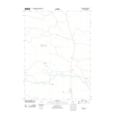
 - 2011 Map of Sparks, 2011 Print
 2011 Sparks2011 Print · USGSCovers Cherry County, including Sparks, Okreek Segment, and other nearby areas
 - 2011 Map of Crookston West, 2011 Print
 2011 Crookston West2011 Print · USGSCovers Cherry County, including Crookston, St. Francis Segment, and other nearby areas
 - 2011 Map of Duck Lake, 2011 Print
 2011 Duck Lake2011 Print · USGSCovers Cherry County, including United States, Nebraska, and other nearby areas
 - 2011 Map of Arabia SE, 2011 Print
 2011 Arabia SE2011 Print · USGSCovers Cherry County, including United States, Nebraska, and other nearby areas
 - 2011 Map of Barent Valley, 2011 Print
 2011 Barent Valley2011 Print · USGSCovers Cherry County, including United States, Nebraska, and other nearby areas
 - 2011 Map of Harr Valley, 2011 Print
 2011 Harr Valley2011 Print · USGSCovers Cherry County, including Brown County, United States, and other nearby areas
Showing maps 1-25 of 512
Top cities of Cherry County
- Valentine historical maps
- Cody historical maps
- Merriman historical maps
- Kilgore historical maps
- Crookston historical maps
- Wood Lake historical maps
See more
Frequently asked questions
- What are the different types of historical maps available for Cherry County?
- What is the oldest map of Cherry County?
- Where can I purchase historical maps of Cherry County for my home or office?
- Where can I download high-res historical maps of Cherry County?
- Are there historical topographic maps available for Cherry County?
- Is there historical aerial imagery available for Cherry County?
- Where are historical maps of Cherry County sourced from?