2020s Maps of Jefferson County, Oregon
Explore 92 historic maps of Jefferson County from the 2020s. These maps offer a rare glimpse into what life looked like during the 2020s — showing old roads, neighborhoods, homes, and landmarks that have changed or disappeared over time.
Whether you're researching your family's past, planning a metal detecting trip, or studying how Jefferson County's landscape evolved across the 2020s, these high-resolution maps are a powerful tool for exploring the history of this region.
- Focus on a specific era: All maps on this page are from the 2020s, giving you a focused view of this time period.
- See what’s changed: Compare century-old streets, trails, and buildings to today's modern landscape using overlays and satellite layers.
- Research with precision: Use these maps for genealogy, historical research, land use analysis, or educational projects.
- View, download, or print: Maps are fully viewable online in high resolution, and can be downloaded or printed for your own records.
Start exploring Jefferson County's history through authentic maps from the 2020s. This is your window into the past.
Jefferson County, OR maps
(92)- 2020 Map of Ashwood, 2020 Print
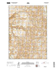 2020 Ashwood2020 Print · USGSAshwood and the surrounding high desert of Jefferson County are captured here in the early twenty-first century. Genealogists and local historians can locate Woods Cem and trace the paths of Ashwood Rd and Haycreek RD through Little Devils Canyon.
 - 2020 Map of Horse Heaven Creek, 2020 Print
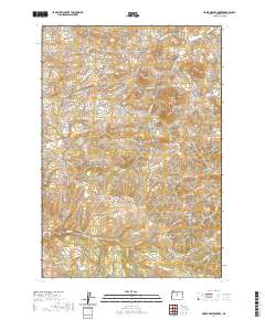 2020 Horse Heaven Creek2020 Print · USGSJefferson County ranching country is documented here in the early twenty-first century, centered on the settlement of Kilts. Researchers can trace old family-named landmarks like Maiers Butte and Kaser Butte alongside vital water sources like Sand Spring.
 - 2020 Map of Arrastra Butte, 2020 Print
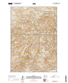 2020 Arrastra Butte2020 Print · USGSHigh desert canyons and ridges define this section of the Wasco and Jefferson County line in the early twenty-first century. Researchers can trace the remote network of Big Muddy Rd as it winds past landmarks like Arrastra Butte, Black Rock, and Wyman Spring.
 - 2020 Map of Grizzly Mountain, 2020 Print
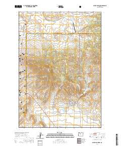 2020 Grizzly Mountain2020 Print · USGSJefferson and Crook counties are captured here in the contemporary era at the transition of the high desert and national forest. Researchers can trace rural landmarks and family sites like the Grizzly Cemetery, Grimes Flat, and the Six Springs Ranch Airport.
 - 2020 Map of Hensley Butte, 2020 Print
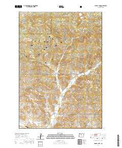 2020 Hensley Butte2020 Print · USGSJefferson and Crook Counties appear in this modern survey of the high plateau and timberlands. Researchers can trace land use and watershed patterns through features like Hensley Butte, Rail Hollow, and the remote Bottleneck Spring.
 - 2020 Map of Culver, 2020 Print
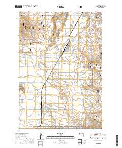 2020 Culver2020 Print · USGSJefferson County agriculture and high desert terrain meet in this 2020 study of the plains south of MADRAS. Researchers can trace local burial sites at the German Cem and Culver IOOF Cem or navigate the dramatic depths of the Crooked River Gorge.
 - 2020 Map of Black Butte, 2020 Print
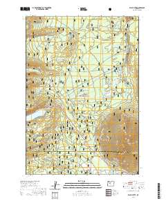 2020 Black Butte2020 Print · USGSThe Metolius River headwaters and the iconic volcanic cone of Black Butte are documented here during the early twenty-first century. Researchers can trace forest development and recreational history via Camp Sherman, the Metolius-Windigo trail, and Suttle Lake.
 - 2020 Map of Candle Creek, 2020 Print
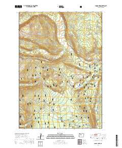 2020 Candle Creek2020 Print · USGSJefferson County’s high-country wilderness is documented here as it appeared in 2020, centered on the protected Metolius Wild and Scenic River. Outdoor historians can trace the Metolius-Windigo trail as it passes through the Deschutes National Forest toward Abbot Butte and Sugar Pine Ridge.
 - 2020 Map of Fly Creek, 2020 Print
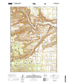 2020 Fly Creek2020 Print · USGSJefferson County in 2020 shows a landscape where high desert canyons meet modern recreation areas near the Deschutes National Forest. Researchers can trace the development of the 3 Rivers Recreation Area Airport and find geological landmarks like Balanced Rocks and Akawa Butte.
 - 2020 Map of Shitike Butte, 2020 Print
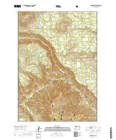 2020 Shitike Butte2020 Print · USGSThe high Cascades landscape of Jefferson County is defined here by the winding Metolius Wild and Scenic River and its rugged volcanic topography. Researchers can trace the drainage patterns of the Whitewater River or locate landmarks like Shitike Butte and Seekseequa Spring.
 - 2020 Map of Gray Butte, 2020 Print
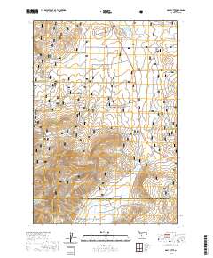 2020 Gray Butte2020 Print · USGSThe high desert of Central Oregon is revealed here in the 2020s, where the convergence of three counties meets the Crooked River National Grassland. Genealogists and historians can locate the Gray Butte Cem and trace old routes like the Ridge Rider - Warner Loop and Skull Hollow.
 - 2020 Map of Prairie Farm Spring, 2020 Print
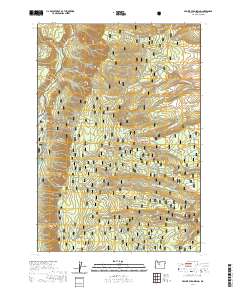 2020 Prairie Farm Spring2020 Print · USGSThe Metolius River corridor and the heights of Green Ridge are detailed here during the late twenty-teens. Outdoor enthusiasts and local historians can trace the network of forest roads and hiking paths, including the W Metolius River Trail, Bridge 99, and the secluded Prairie Farm Spring.
 - 2020 Map of Potters Ponds, 2020 Print
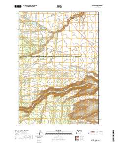 2020 Potters Ponds2020 Print · USGSCentral Oregon's high plateau country is documented here in the early twenty-first century along the Wasco and Jefferson county line. Trace the remote drainage networks of Shitike Creek and Mill Cr or locate landmarks like Potters Ponds and Seymore Springs.
 - 2020 Map of Sawmill Butte, 2020 Print
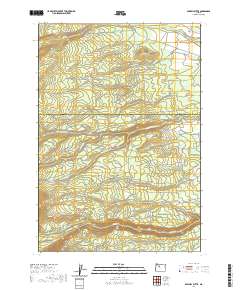 2020 Sawmill Butte2020 Print · USGSThe Wasco and Jefferson County line runs through this high-elevation landscape in the late 2010s. Researchers can trace historical routes like NW Old Mill Rd and geographic landmarks such as Sawmill Butte and Shitike Cr.
 - 2020 Map of Seekseequa Junction, 2020 Print
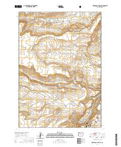 2020 Seekseequa Junction2020 Print · USGSJefferson County's high desert plateaus are captured here in the recent past, showing the transition from open range to protected lands. Genealogists and historians can locate Seekseequa Cem 1 and Seekseequa Cem 2 near Seekseequa Junction.
 - 2020 Map of Round Butte Dam, 2020 Print
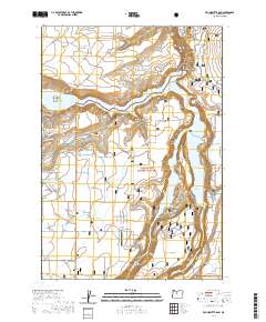 2020 Round Butte Dam2020 Print · USGSJefferson County’s high desert landscape is dominated by the dramatic river confluences at Round Butte Dam in the modern era. Researchers can trace the vast reach of the Crooked River National Grassland and locate landmarks like The Island and the Lake Billy Chinook State Airport.
 - 2020 Map of Steelhead Falls, 2020 Print
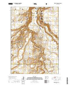 2020 Steelhead Falls2020 Print · USGSThe high desert plateau meets the deep canyons of the Deschutes and Crooked rivers in 2020. Local researchers can trace land features like The Peninsula and Otter Bench or locate local landmarks like Grandview Cem and Steelhead Falls.
 - 2020 Map of Eagle Butte, 2020 Print
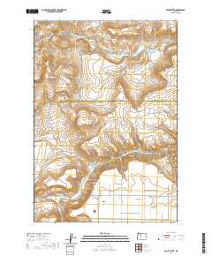 2020 Eagle Butte2020 Print · USGSThe high plains and river canyons of central Oregon are captured here as they appeared in 2020. Researchers can trace land markers and family sites such as Hot Springs Cem, the Mecca Grade, and the confluence near the Deschutes River.
 - 2020 Map of Lionshead, 2020 Print
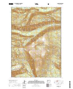 2020 Lionshead2020 Print · USGSJefferson County’s high-elevation forest landscape is captured here in the early twenty-first century, showing the intersection of the Deschutes National Forest and mountain hydrology. Local historians can trace the paths of NW Bald Peter Rd and BIA RD 40 through landmarks like Bald Peter and Biddle Pass.
 - 2020 Map of Marion Lake, 2020 Print
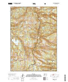 2020 Marion Lake2020 Print · USGSHigh in the Cascades during the early twenty-first century, this area serves as a critical junction for major alpine routes. Hikers and historians can trace the Pacific Crest National Scenic Trail past the John Swallow Grave and the many waters of Eight Lakes Basin.
 - 2020 Map of Gateway, 2020 Print
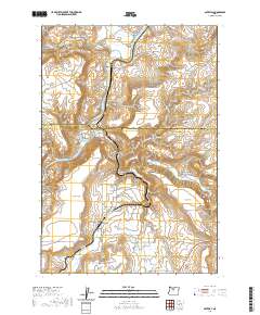 2020 Gateway2020 Print · USGSThe high-desert terrain near the Jefferson and Wasco county line comes into focus in this recent study of the Oregon interior. Researchers can trace the path of the Deschutes River and explore named landmarks like Agency Plains, Lyle Gap, and the settlement of Gateway.
 - 2020 Map of Metolius Bench, 2020 Print
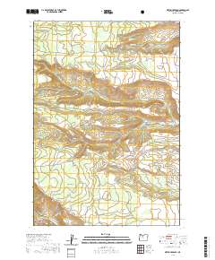 2020 Metolius Bench2020 Print · USGSJefferson County’s high plateaus and river drainages are preserved here during the early twenty-first century. Researchers can trace forest management routes and find remote water sources like Beachcomb Spring, Box Canyon, and the Metolius Wild and Scenic River.
 - 2020 Map of Madras West, 2020 Print
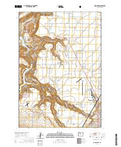 2020 Madras West2020 Print · USGSJefferson County in the early twenty-first century reveals a landscape defined by the Deschutes River canyon and the expanding community of Madras. Family history and land use can be traced through the Milo Gard Cem and the extensive Agency Plains agricultural tracts.
 - 2020 Map of Olallie Butte, 2020 Print
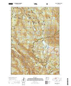 2020 Olallie Butte2020 Print · USGSThe Oregon Cascades come into focus in this contemporary survey of the high lake country where three counties meet. Track the Pacific Crest National Scenic Trail past dozens of alpine waters like Olallie Lake and landmarks including Olallie Butte and Double Peaks.
 - 2020 Map of Warm Springs, 2020 Print
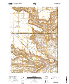 2020 Warm Springs2020 Print · USGSModern-day Warm Springs, Oregon, is depicted here as a complex landscape of residential growth and desert terrain. Researchers can locate community landmarks like Tenino Cem, Miller Heights, and the waters of Shitike Creek.
Showing maps 1-25 of 92
Top cities of Jefferson County
Frequently asked questions
- What are the different types of historical maps available for Jefferson County?
- What is the oldest map of Jefferson County?
- Where can I purchase historical maps of Jefferson County for my home or office?
- Where can I download high-res historical maps of Jefferson County?
- Are there historical topographic maps available for Jefferson County?
- Is there historical aerial imagery available for Jefferson County?
- Where are historical maps of Jefferson County sourced from?