2020s Maps of Lane County, Oregon
Explore 241 historic maps of Lane County from the 2020s. These maps offer a rare glimpse into what life looked like during the 2020s — showing old roads, neighborhoods, homes, and landmarks that have changed or disappeared over time.
Whether you're researching your family's past, planning a metal detecting trip, or studying how Lane County's landscape evolved across the 2020s, these high-resolution maps are a powerful tool for exploring the history of this region.
- Focus on a specific era: All maps on this page are from the 2020s, giving you a focused view of this time period.
- See what’s changed: Compare century-old streets, trails, and buildings to today's modern landscape using overlays and satellite layers.
- Research with precision: Use these maps for genealogy, historical research, land use analysis, or educational projects.
- View, download, or print: Maps are fully viewable online in high resolution, and can be downloaded or printed for your own records.
Start exploring Lane County's history through authentic maps from the 2020s. This is your window into the past.
Lane County, OR maps
(241)- 2020 Map of Heceta Head OE W, 2020 Print
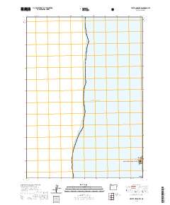 2020 Heceta Head OE W2020 Print · USGSThe Oregon coast at the start of the 2020s is defined here by the meeting of protected federal lands and the open sea. Trace the shoreline boundary of the Siuslaw National Forest and search for coastal landmarks like Heceta Head and Conical Rock.
 - 2020 Map of Mercer Lake OE W, 2020 Print
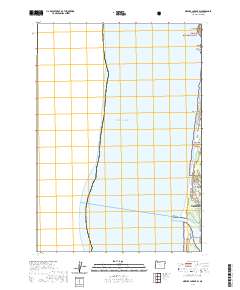 2020 Mercer Lake OE W2020 Print · USGSCoastal Lane County is captured here at the start of the 2020s, centering on the northern reach of the Siuslaw estuary. Trace the shoreline from Heceta Beach up to Sea Lion Point, or follow the winding course of Sutton Creek through the protected woods.
 - 2020 Map of Elk Lake, 2020 Print
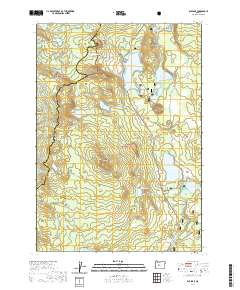 2020 Elk Lake2020 Print · USGSThe high Cascades of Central Oregon are captured here in the early twenty-first century, showing the lake-heavy transition between national forests. Researchers can trace the Pacific Crest National Scenic Trail past Elk Lake and explore the headwaters of the Deschutes River.
 - 2020 Map of Chilcoot Mountain, 2020 Print
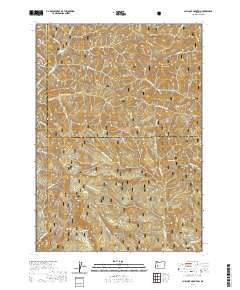 2020 Chilcoot Mountain2020 Print · USGSUmpqua National Forest land along the Lane and Douglas county line is captured here in the 2020s. Hikers and researchers can trace the high-elevation routes around Chilcoot Mtn, McKinley Rock, and the sheer faces of Hipower Bluffs.
 - 2020 Map of Burnt Mountain, 2020 Print
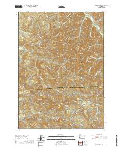 2020 Burnt Mountain2020 Print · USGSThe high ridges of the Cascades foothills come into focus in the 2020s, revealing a landscape defined by forestry routes and dramatic peaks. Researchers can trace the historical Bohemia Rd and locate landmarks like Kellys Bluff, Cougar Bend, and Lower Elk Meadows.
 - 2020 Map of Fall Creek Lake, 2020 Print
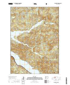 2020 Fall Creek Lake2020 Print · USGSThe Lane County highlands are shown here in 2020 as a landscape of managed timberlands and major reservoirs. Researchers can trace the drainage of Winberry Creek toward Fall Creek Lake and locate forest landmarks like Wimble Pass and Fairview Mtn.
 - 2020 Map of Silica Mountain, 2020 Print
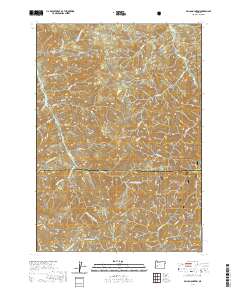 2020 Silica Mountain2020 Print · USGSThe western Cascades come into focus in 2020 at the boundary of Lane and Douglas counties. Researchers can trace the high ridgelines of the Calapooya Divide and the headwaters of E Fork Mosby Cr and Quartz Cr near Silica Mtn.
 - 2020 Map of Chucksney Mountain, 2020 Print
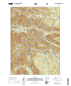 2020 Chucksney Mountain2020 Print · USGSThe high Cascades of Lane County are mapped here in the modern era, showing a landscape defined by protected wilderness and river systems. Researchers can trace the drainages of the S Fork McKenzie River and identify landmarks like Rebel Rock and Frissell Crossing.
 - 2020 Map of Fairview Peak, 2020 Print
 2020 Fairview Peak2020 Print · USGSThe high ridges of the Oregon Cascades come into focus in this recent survey, capturing the divide between Lane and Douglas counties. Researchers can trace the steep geography of the Umpqua National Forest, identifying remote landmarks like Fairview Peak, Crystal Lake, and Utopian Saddle.
 - 2020 Map of Sinker Mountain, 2020 Print
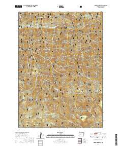 2020 Sinker Mountain2020 Print · USGSIn the heart of the Oregon Cascades, this map shows the rugged timberlands of Lane County in 2020. Researchers can trace the protected waters of the North Fork Middle Fork Willamette Wild and Scenic River and locate landmarks like Elephant Rock and Sinker Mtn.
 - 2020 Map of Culp Creek, 2020 Print
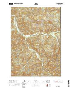 2020 Culp Creek2020 Print · USGSLane County in the early twenty-first century reveals a landscape shaped by timber heritage and river valleys. Researchers can trace the drainages of Row River and find landmarks like Wildwood Falls, Dorena, and the settlement of Disston.
 - 2020 Map of Waldo Mountain, 2020 Print
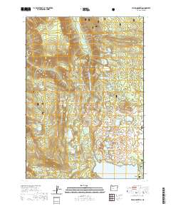 2020 Waldo Mountain2020 Print · USGSCovers Lane County, including United States, Oregon, and other nearby areas
 - 2020 Map of Emigrant Butte, 2020 Print
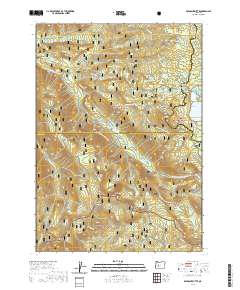 2020 Emigrant Butte2020 Print · USGSThe high Cascades at the junction of three national forests are documented here in the early twenty-first century. Outdoor researchers can trace the Pacific Crest National Scenic Trail through a dense cluster of alpine waters including Summit Lake and Hemlock Lake.
 - 2020 Map of Waldo Lake, 2020 Print
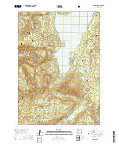 2020 Waldo Lake2020 Print · USGSThe Oregon Cascades appear in high detail at the turn of the 21st century, centered on the pristine waters of Waldo Lake. Researchers can trace the path of the Pacific Crest National Scenic Trail or find remote landmarks like Lillian Falls and Fuji Mtn.
 - 2020 Map of McCredie Springs, 2020 Print
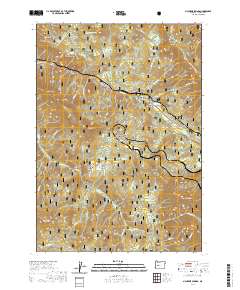 2020 McCredie Springs2020 Print · USGSThe Oregon Cascades come into focus in this recent survey of the area surrounding McCredie Springs. Researchers can trace high-elevation trails like Owl Cabin Way and locate local landmarks such as McCredie Hot Springs and Crabapple Prairie.
 - 2020 Map of Holland Point, 2020 Print
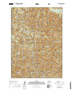 2020 Holland Point2020 Print · USGSLane County high country is documented here in the early twenty-first century as it spans two national forests. Trace the rugged drainage of Layng Cr and Larison Creek past landmarks like Holland Meadows, Pinard Falls, and the Barnard Bridge.
 - 2020 Map of The Twins, 2020 Print
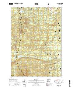 2020 The Twins2020 Print · USGSHigh in the Cascades during the 2020s, this area spans the forested boundary between Lane and Deschutes Counties. Trace the high-altitude routes of the Pacific Crest National Scenic Trail and Metolius-Windigo, passing landmarks like The Twins and Bobby Lake.
 - 2020 Map of Jasper, 2020 Print
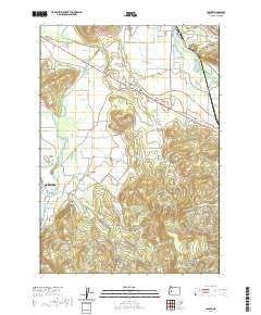 2020 Jasper2020 Print · USGSThe forks of the Willamette River south of Eugene are mapped here in the modern era, showing the established rural communities of Jasper and Pleasant Hill. Genealogists can locate several historic burial sites, including Cloverdale Cem and Mulholland Cem, alongside landmarks like Sellers Butte.
 - 2020 Map of Irish Mountain, 2020 Print
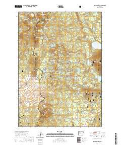 2020 Irish Mountain2020 Print · USGSHigh in the Cascades during the early twenty-first century, this area straddles the county line between vast national forests. Travelers can trace the Pacific Crest National Scenic Trail as it passes Irish Mountain and remote waters like Josephine Lake and Swede Lake.
 - 2020 Map of Staley Ridge, 2020 Print
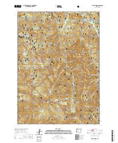 2020 Staley Ridge2020 Print · USGSThe high divide of the Calapooya Mountains is documented here in the early twenty-first century, spanning the border of Lane and Douglas counties. Researchers can trace the drainages of Coal Cr and locate high-elevation landmarks like Bristow Prairie and Bradley Lake.
 - 2020 Map of Huckleberry Mountain, 2020 Print
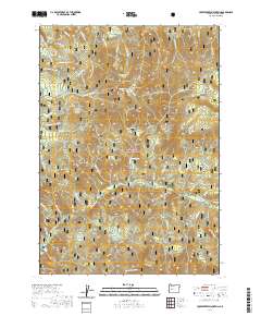 2020 Huckleberry Mountain2020 Print · USGSLane County's high Cascade backcountry is mapped here in the modern era, showing the intersection of timber lands and forest recreation. Trace high-altitude landmarks like Memaloose Lake, the Eugene To Pacific Crest trail, and Kwiskwis Butte.
 - 2020 Map of Diamond Peak, 2020 Print
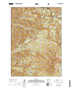 2020 Diamond Peak2020 Print · USGSThe Cascade crest near the Lane and Klamath county line is shown here in the 2020s, a landscape of high-altitude lakes and volcanic peaks. Trace the path of the Pacific Crest National Scenic Trail past Diamond Peak or locate the remote Salt Creek Tunnel 2539.
 - 2020 Map of Mount June, 2020 Print
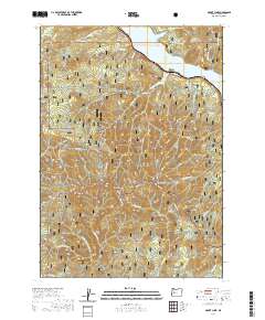 2020 Mount June2020 Print · USGSThe high ridges of the Cascades near the Willamette National Forest boundary are captured in this recent survey. Hikers and historians can trace high-country paths like the Eugene to Pacific Crest trail or locate landmarks like Mt June and Sawtooth Rock.
 - 2020 Map of Groundhog Mountain, 2020 Print
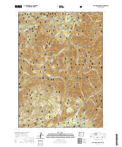 2020 Groundhog Mountain2020 Print · USGSThe Oregon Cascades within the Willamette National Forest are shown here in modern detail, focusing on high-relief timberlands and watersheds. Researchers can trace the drainages of Swift Cr and locate high-country landmarks like Waterdog Lake and Groundhog Mtn.
 - 2020 Map of Blue Mountain, 2020 Print
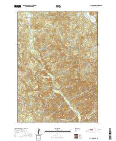 2020 Blue Mountain2020 Print · USGSLane County's timber country and the Mosby Creek valley are documented here in the early twenty-first century. Genealogists and local historians can locate Broumbaugh Cem or trace industrial sites like the Booth-Kelly Lumber Company Log Pond and the Dorena Bridge.
Showing maps 1-25 of 241
Top cities of Lane County
- Eugene historical maps
- Springfield historical maps
- Cottage Grove historical maps
- Florence historical maps
- Junction City historical maps
- Creswell historical maps
See more
Frequently asked questions
- What are the different types of historical maps available for Lane County?
- What is the oldest map of Lane County?
- Where can I purchase historical maps of Lane County for my home or office?
- Where can I download high-res historical maps of Lane County?
- Are there historical topographic maps available for Lane County?
- Is there historical aerial imagery available for Lane County?
- Where are historical maps of Lane County sourced from?