2000s (21st Century) Maps of Wallowa County, Oregon
Explore 403 historic maps of Wallowa County from the 2000s (21st Century). These maps offer a rare glimpse into what life looked like during the 2000s — showing old roads, neighborhoods, homes, and landmarks that have changed or disappeared over time.
Whether you're researching your family's past, planning a metal detecting trip, or studying how Wallowa County's landscape evolved across the 2000s, these high-resolution maps are a powerful tool for exploring the history of this region.
- Focus on a specific era: All maps on this page are from the 2000s, giving you a focused view of this time period.
- See what’s changed: Compare century-old streets, trails, and buildings to today's modern landscape using overlays and satellite layers.
- Research with precision: Use these maps for genealogy, historical research, land use analysis, or educational projects.
- View, download, or print: Maps are fully viewable online in high resolution, and can be downloaded or printed for your own records.
Start exploring Wallowa County's history through authentic maps from the 2000s. This is your window into the past.
Wallowa County, OR maps
(403)- 2004 Map of Cuprum, 2007 Print
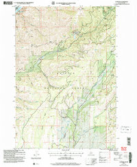 2004 Cuprum2007 Print · USGSThe high forest lands above the Snake River come into focus in this early 2000s study of Adams County. Researchers can locate the mining history of the Copper Cliff Mine, the settlement at Cuprum, and the remote Seven Devils Ranch Landing Strip.
 - 2004 Map of Homestead, 2007 Print
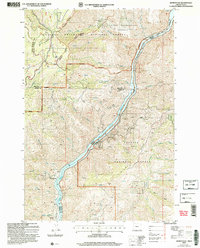 2004 Homestead2007 Print · USGSThe Snake River border between Oregon and Idaho is captured here in the early 2000s as a landscape of deep canyons and mining history. Researchers can locate the Homestead Cem, the Irondyke Mine, and the McGraw Creek Cabin among the steep draws.2 unique versions available
 - 2011 Map of Wapshilla Creek, 2011 Print
 2011 Wapshilla Creek2011 Print · USGSThe confluence of the Snake River and Salmon River is captured here during the early twenty-first century. Researchers can trace the winding canyon paths and locate remote landmarks like Geneva Bar, Wapshilla Ridge, and Hot Spring.
 - 2011 Map of Lord Flat, 2011 Print
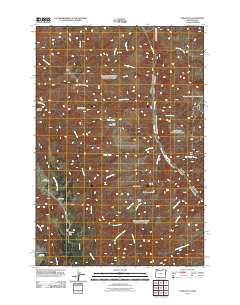 2011 Lord Flat2011 Print · USGSThe border country along the Snake River is shown here in the early twenty-first century, featuring isolated ranching and grazing sites. Researchers can locate remote landmarks such as Tryon Creek Ranch, Dorrance Cow Camp, and the high-elevation Lord Flat Airport.
 - 2011 Map of Homestead, 2011 Print
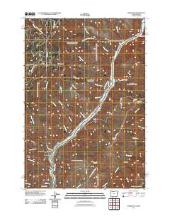 2011 Homestead2011 Print · USGSThe Oregon-Idaho borderlands along the Snake River are captured here in the early twenty-first century, showing a landscape shaped by mining and river access. Researchers can locate the Irondyke Mine, trace the winding Kleinschmidt Grade, and find the remote McGraw Creek Cabin.
 - 2011 Map of White Monument, 2011 Print
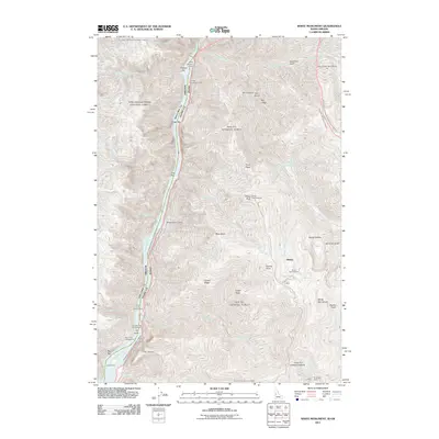 2011 White Monument2011 Print · USGSHells Canyon and the Snake River corridor define this borderland at the start of the 2010s, where mining history meets modern wilderness management. Researchers can trace historic industrial sites like Alaska Mine and Red Ledge Mine alongside riverfront landings at Fishers Bar and Eagle Bar.
 - 2011 Map of Fingerboard Saddle, 2011 Print
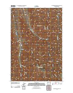 2011 Fingerboard Saddle2011 Print · USGSThe high country of Wallowa County is mapped here in the early twenty-first century, highlighting isolated outposts and complex drainage networks. Genealogists and historians can locate family-named landmarks like Litch Ranch, Rhodes Creek Ranch, and Schleur Gulch.
 - 2011 Map of Old Timer Mountain, 2011 Print
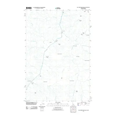 2011 Old Timer Mountain2011 Print · USGSThe Snake River canyon in Idaho County comes into focus in this recent survey, showing the remote ranching and river outposts of the region. Researchers can trace family-named sites such as McLeod Ranch, McGaffee Cabin, and Wilson Cow Camp set among the steep river bars.
 - 2011 Map of Clear Lake Ridge, 2011 Print
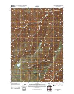 2011 Clear Lake Ridge2011 Print · USGSWallowa County's high ridges and alpine basins are captured here during the early twenty-first century as the Hells Canyon National Rec Area meets the timbered slopes. Trace the remote network of forest routes like Bear Gulch Rd to find high-country landmarks such as Clear Lake and Downey Lake.
 - 2011 Map of Sleepy Ridge, 2011 Print
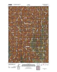 2011 Sleepy Ridge2011 Print · USGSWallowa County at the start of the 2010s remains a landscape of high ridges and named gulches. Hikers and historians can trace the paths of Horse Creek or locate local landmarks like Sour Apple Flat and Rheumatiz Gulch.
 - 2011 Map of Sheep Creek Divide, 2011 Print
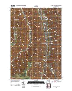 2011 Sheep Creek Divide2011 Print · USGSWallowa County's high country is captured here in the early twenty-first century, showing the remote ranching and forest lands of the Sheep Creek Divide. Researchers can locate the Wilde Ranch, the Imnaha Grange community site, and the Horse Creek Viewpoint overlook.
 - 2011 Map of Temperance Creek, 2011 Print
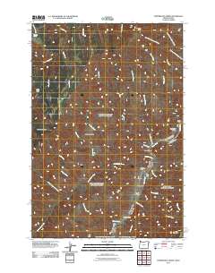 2011 Temperance Creek2011 Print · USGSThe Idaho-Oregon borderlands along the Snake River are documented here in the early twenty-first century. Genealogists and researchers can trace land use at Wilson Ranch or locate riverfront landmarks like Suicide Point and High Bar.
 - 2011 Map of Wolf Creek, 2011 Print
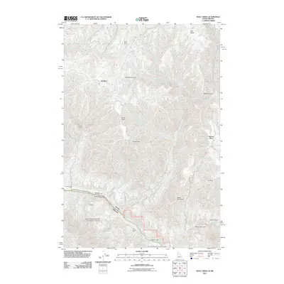 2011 Wolf Creek2011 Print · USGSThe Snake River canyon and its high-elevation ranching outposts come into sharp focus in this Idaho-Oregon border study. Researchers can trace historic river landings and mountain homesteads like Ragtown Bar, Davidson, and the Cat Creek Ranch.
 - 2011 Map of Jim Creek Butte, 2011 Print
 2011 Jim Creek Butte2011 Print · USGSNear the Idaho-Washington border in the early 2010s, this landscape shows the intersection of the Snake River and high-country ranching. Trace local history through names like Jim Creek Ranch, Cochran Islands, and the high-elevation Cold Spring Cow Camp.
 - 2011 Map of Imnaha, 2011 Print
 2011 Imnaha2011 Print · USGSImnaha and the surrounding Wallowa County canyons are captured here in the early twenty-first century, showing a landscape defined by the deep Imnaha River valley. Genealogists and historians can locate The Bridge School, Imnaha Cemetery, and family-named terrain like Burcher Canyon or Hartshorn Butte.
 - 2011 Map of Evans, 2011 Print
 2011 Evans2011 Print · USGSWallowa County at the start of the twenty-first century reveals a valley shaped by the Wallowa River and Lostine River. Genealogists and local historians can locate the Lostine Cemetery and trace old family-named routes like Baker Rd and Evans Leap Rd.
 - 2011 Map of Joseph NW, 2011 Print
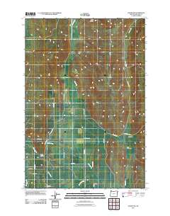 2011 Joseph NW2011 Print · USGSWallowa County at the start of the 2010s reveals a landscape meticulously shaped by water rights and ranching. Genealogists and local historians can trace legacy land routes like McFetridge Rd and the intricate irrigation networks of Farmers Ditch and Big Bend Ditch.
 - 2011 Map of Howard Butte, 2011 Print
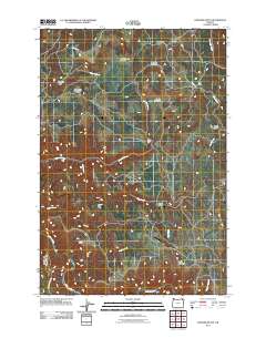 2011 Howard Butte2011 Print · USGSNortheastern Oregon’s high country is documented here in the early twenty-first century, showing a landscape of scattered meadows and timbered ridges. Trace local geography through Camp Five, the high points of Howard Butte, and the course of the Wallowa River.
 - 2011 Map of Three Lakes Country, 2011 Print
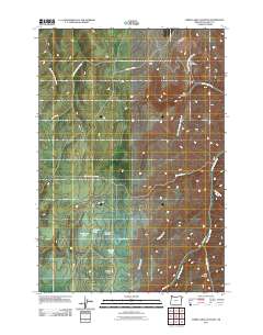 2011 Three Lakes Country2011 Print · USGSWallowa County's high country is captured here in the early twenty-first century, showing the remote ranchlands and seasonal waters. Researchers can trace land use through Lightning Creek Ranch or locate physical landmarks like Hayden Butte and Nuxall Lake.
 - 2011 Map of Elk Mountain SE, 2011 Print
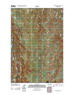 2011 Elk Mountain SE2011 Print · USGSWallowa County's high country is captured here in the early twenty-first century, showing a remote landscape shaped by winding waterways. Genealogists and hikers can trace the paths of Pine Creek Rd and Lewis Rd alongside Pine Creek and Crow Creek.
 - 2011 Map of Flora, 2011 Print
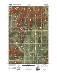 2011 Flora2011 Print · USGSThe northern reaches of Wallowa County are shown in detail during the early twenty-first century, highlighting the remote settlement of Flora. Family historians can trace local roots at Lost Prairie Cemetery and Nicoson Cemetery near the drainages of West Bear Creek.
 - 2011 Map of Harl Butte, 2011 Print
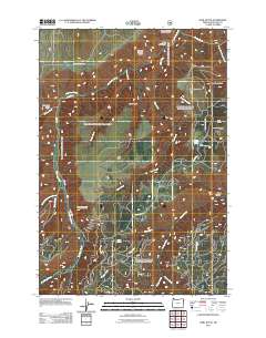 2011 Harl Butte2011 Print · USGSThe high country of Wallowa County is captured here in the early 21st century, showing a remote landscape of forest lookouts and seasonal cattle camps. Researchers can trace the drainages of Big Sheep Creek and locate landmarks like the Harl Butte Lookout or Marr Flat Cow Camp.
 - 2011 Map of Jaynes Ridge, 2011 Print
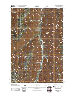 2011 Jaynes Ridge2011 Print · USGSWallowa County high country is documented here in the early twenty-first century, centered on the deep drainage of the Imnaha River. Researchers can trace local landmarks like the Imnaha Grange or locate family sites at the Park Cemetery and Harl Butte Lookout.
 - 2011 Map of Kirkwood Creek, 2011 Print
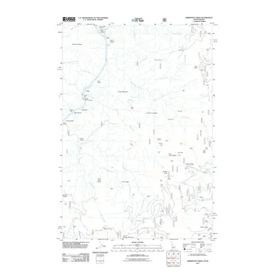 2011 Kirkwood Creek2011 Print · USGSThe Snake River Canyon comes into focus in the early twenty-first century, showing a landscape shaped by remote ranching and river access. Genealogists and historians can trace family-named sites such as Davis Ranch, Harlin Mill, and Upper Pittsburg Landing.
 - 2011 Map of Haas Hollow, 2011 Print
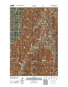 2011 Haas Hollow2011 Print · USGSWallowa County's high ranching country is captured here during the early twenty-first century, centered on the Imnaha River. Genealogists and local historians can trace legacy land holdings at Corral Creek Ranch and Austin Ranch or follow the path of Dug Bar Rd.
Showing maps 1-25 of 403
Top cities of Wallowa County
Frequently asked questions
- What are the different types of historical maps available for Wallowa County?
- What is the oldest map of Wallowa County?
- Where can I purchase historical maps of Wallowa County for my home or office?
- Where can I download high-res historical maps of Wallowa County?
- Are there historical topographic maps available for Wallowa County?
- Is there historical aerial imagery available for Wallowa County?
- Where are historical maps of Wallowa County sourced from?