1950s Maps of South Dakota
Explore 484 historic maps of South Dakota from the 1950s. These maps offer a rare glimpse into what life looked like during the 1950s — showing old roads, neighborhoods, homes, and landmarks that have changed or disappeared over time.
Whether you're researching your family's past, planning a metal detecting trip, or studying how South Dakota's landscape evolved across the 1950s, these high-resolution maps are a powerful tool for exploring the history of this region.
- Focus on a specific era: All maps on this page are from the 1950s, giving you a focused view of this time period.
- See what’s changed: Compare century-old streets, trails, and buildings to today's modern landscape using overlays and satellite layers.
- Research with precision: Use these maps for genealogy, historical research, land use analysis, or educational projects.
- View, download, or print: Maps are fully viewable online in high resolution, and can be downloaded or printed for your own records.
Start exploring South Dakota's history through authentic maps from the 1950s. This is your window into the past.
South Dakota maps
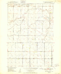
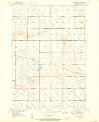
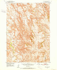
(484)- 1950 Map of Norden
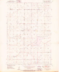
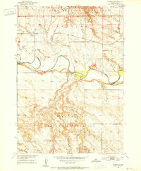
 1950 Norden1950 Print · USGSThe Niobrara River valley in the early fifties shows a rugged landscape of family-run cattle operations and scattered rural school districts. Genealogists can locate family holdings like Worth Ranch or McMara Ranch and burial sites at Sparks Cem.2 unique versions available
 - 1950 Map of Ree Heights SE
 1950 Ree Heights SE1950 Print · USGSHand County at the midpoint of the century shows a landscape of small townships and rural school districts organized around the rail line. Genealogists can locate family landmarks like Greenleaf Ch, Odd Fellows Cem, and several local schools including Moncur Sch and Spiers Sch.2 unique versions available
 - 1950 Map of Conata
 1950 Conata1950 Print · USGSThe Pine Ridge Indian Reservation and the northern prairies meet here in the early fifties. Genealogists and historians can trace the Chicago Milwaukee St Paul and Pacific rail line through Conata and locate an early Oil Well.2 unique versions available
 - 1950 Map of Vayland
 1950 Vayland1950 Print · USGSMid-century Hand County is captured here at a time when rural schoolhouses still anchored the prairie community. Genealogists and local historians can locate several family-named landmarks, including Vitters School, Kanaly School, and the Town Hall near Majors Gulch.2 unique versions available
 - 1950 Map of Highmore NE
 1950 Highmore NE1950 Print · USGSThe Hyde and Hand county line was a landscape of remote rural townships and prairie schools during the mid-century. Researchers can trace the placement of local landmarks like Washington Sch and West Campbell Sch across the open plains of Eden and Ontario.
 - 1950 Map of Mitchell Lake
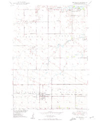
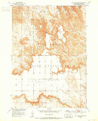
 1950 Mitchell Lake1950 Print · USGSHyde County rural life is frozen in the mid-century as part of a post-war Missouri River Basin study. Genealogists and local historians can trace the footprint of the high plains prairie through sites like Edwin Ch, South Illinois Sch, and Mitchell Lake.
 - 1950 Map of Wessington
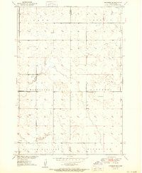
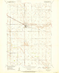 1950 Wessington1950 Print · USGSThe town of Wessington straddles the Hand and Beadle county line in the mid-twentieth century, centered on its vital rail connection. Genealogists can locate rural landmarks like Bothwell Sch, Rogers Sch, and the Wessington Cem.3 unique versions available
 - 1950 Map of Highmore
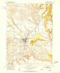
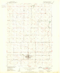 1950 Highmore1950 Print · USGSHyde County life in the mid-twentieth century is centered on the railroad corridor and the township grid. Genealogists and local historians can locate the Lincoln Sch, the Highmore Cem, and the specialized State College Substation.2 unique versions available
 - 1950 Map of Vayland NW
 1950 Vayland NW1950 Print · USGSHand County prairie life is documented here during the mid-century, showing a landscape defined by meandering creek beds and rural township life. Researchers can trace the locations of the Town Hall and local schools like Lone Star and Corrin Sch.2 unique versions available
 - 1950 Map of Wessington NE
 1950 Wessington NE1950 Print · USGSBeadle County was a hub of rural life and steam-era railroading at the mid-century. Researchers can trace the legacy of prairie education at Neeman Sch or locate the junction of the Chicago and North Western and the Milwaukee Road.3 unique versions available
 - 1950 Map of Ree Heights
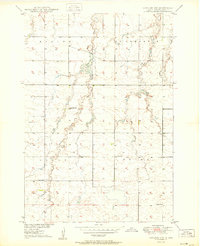
 1950 Ree Heights1950 Print · USGSRee Heights and the surrounding Hand County prairie are captured here in the post-war era as the Missouri River Basin developed. Researchers can trace the Chicago and North Western rail line and locate rural landmarks like Morningside Cem, Steptoe Sch, and Lake Louise.2 unique versions available
 - 1950 Map of Highmore SE
 1950 Highmore SE1950 Print · USGSThe rural expanse of central South Dakota is captured here in the mid-twentieth century as part of the Missouri River Basin development. Genealogists and historians can locate community cornerstones like the Hamilton Sch, West Riverside Sch, and the Chicago and North Western rail line.
 - 1950 Map of Sheep Mountain Table, 1952 Print
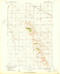
 1950 Sheep Mountain Table1952 Print · USGSThe South Dakota badlands meet the Pine Ridge Indian Reservation in the early fifties, revealing a landscape of high mesas and deep-cut creeks. Researchers can trace the geological boundaries of Sheep Mountain Table or locate local landmarks like Cedar Butte and Heck Table.7 unique versions available
 - 1950 Map of Stirk Table, 1952 Print
 1950 Stirk Table1952 Print · USGSThe Pine Ridge Indian Reservation is shown here at mid-century, just as development for the Missouri River Basin was underway. Researchers can trace the rugged plateaus of Stirk Table and Cuny Table down to the banks of the White River.3 unique versions available
 - 1950 Map of Niobrara, 1952 Print
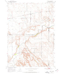
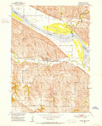
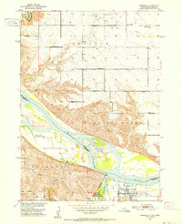 1950 Niobrara1952 Print · USGSThe Missouri and Niobrara rivers converge here in the mid-twentieth century, just as the town of Niobrara prepared for major changes. Genealogists can locate many rural landmarks including Norwegian Cem, Wagner Sch, and the Chicago and North Western rail line.2 unique versions available
 - 1950 Map of Interior, 1952 Print
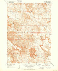
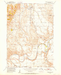
 1950 Interior1952 Print · USGSJackson County ranching and rail activity are captured here at mid-century, where the Chicago Milwaukee St Paul and Pacific tracks meet the White River. Trace the era's rural landscape through the location of the Lone Tree Sch. and early Badlands National Monument park features.2 unique versions available
 - 1950 Map of Hot Springs, 1952 Print
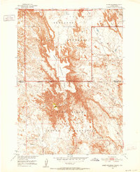
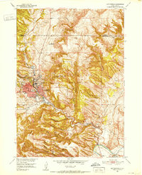 1950 Hot Springs1952 Print · USGSHot Springs and the southern Black Hills are captured here in the early postwar era, showing a community defined by its therapeutic waters and veteran services. Researchers can locate the Battle Mountain National Sanitarium, the State Soldiers Home, and local landmarks like Larive Lake or the Aaberg Sch.6 unique versions available
 - 1950 Map of Buffalo Gap, 1952 Print
 1950 Buffalo Gap1952 Print · USGSBuffalo Gap and the surrounding Custer County landscape are captured here in the early postwar era as the railroad remained central to local life. Researchers can locate the Friedrick Sch, the winding Cheyenne River, and the Buffalo Gap Cemetery.3 unique versions available
 - 1950 Map of Verdel, 1952 Print
 1950 Verdel1952 Print · USGSThe Missouri River borderlands of Knox County come to life in this mid-century survey of the Verdel area. Local historians can trace the paths of the Chicago and North Western railroad and locate rural landmarks like Clay Hill Sch or Cedar Hill Cem.4 unique versions available
 - 1950 Map of Edgemont, 1952 Print
 1950 Edgemont1952 Print · USGSEdgemont and its surrounding Fall River County canyons were a vital rail and river junction in the years following the war. Researchers can trace the path of the Chicago Burlington and Quincy railroad as it serves the Edgemont townsite, the Fairgrounds, and the Bell Ranch.4 unique versions available
 - 1950 Map of Cuny Table East, 1952 Print
 1950 Cuny Table East1952 Print · USGSThe Pine Ridge Indian Reservation landscape comes alive in this mid-century survey of the high plateaus and deep draws. Researchers can trace the rugged topography of Cuny Table, the location of the Cuny Table Sch, and the winding path of Cottonwood Creek.3 unique versions available
 - 1950 Map of Interior SE, 1952 Print
 1950 Interior SE1952 Print · USGSThe Pine Ridge landscape of the early fifties is defined here by the intricate breaks and drainages of the South Dakota badlands. Researchers can trace the winding Bear-in-the-Lodge Creek to find the isolated Headlee Ranch and Garner Sch.3 unique versions available
 - 1950 Map of Conata SW, 1952 Print
 1950 Conata SW1952 Print · USGSThe Pine Ridge Indian Reservation landscape is captured here in the mid-century, before significant modern alterations. Researchers can trace the intricate drainage of Redwater Creek and Medicine Root Creek across the Shannon and Washabaugh county lines.2 unique versions available
 - 1950 Map of Sparks, 1952 Print
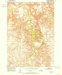
 1950 Sparks1952 Print · USGSThe Niobrara River canyon cuts through Cherry County during the mid-twentieth century, revealing a landscape of remote ranches and conservation lands. Researchers can trace the Chicago and North Western rail line and locate rural landmarks like Smith Falls, Bryant Ranch, and several numbered schoolhouses.3 unique versions available
 - 1950 Map of Heppner, 1952 Print
 1950 Heppner1952 Print · USGSFall River County ranch lands are captured here in the early 1950s as part of the Missouri River Basin development program. Researchers can locate specific sites like Landers Ranch, the settlement of Heppner, and rural schoolhouses such as Maitland Sch.2 unique versions available
Showing maps 1-25 of 484
Top cities of South Dakota
- Sioux Falls historical maps
- Rapid City historical maps
- Aberdeen historical maps
- Watertown historical maps
- Brookings historical maps
- Mitchell historical maps
See more
Top counties of South Dakota
- Minnehaha County historical maps
- Pennington County historical maps
- Lincoln County historical maps
- Brown County historical maps
- Brookings County historical maps
- Codington County historical maps
See more
Frequently asked questions
- What are the different types of historical maps available for South Dakota?
- What is the oldest map of South Dakota?
- Where can I purchase historical maps of South Dakota for my home or office?
- Where can I download high-res historical maps of South Dakota?
- Are there historical topographic maps available for South Dakota?
- Is there historical aerial imagery available for South Dakota?
- Where are historical maps of South Dakota sourced from?