1980s Maps of South Dakota
Explore 324 historic maps of South Dakota from the 1980s. These maps offer a rare glimpse into what life looked like during the 1980s — showing old roads, neighborhoods, homes, and landmarks that have changed or disappeared over time.
Whether you're researching your family's past, planning a metal detecting trip, or studying how South Dakota's landscape evolved across the 1980s, these high-resolution maps are a powerful tool for exploring the history of this region.
- Focus on a specific era: All maps on this page are from the 1980s, giving you a focused view of this time period.
- See what’s changed: Compare century-old streets, trails, and buildings to today's modern landscape using overlays and satellite layers.
- Research with precision: Use these maps for genealogy, historical research, land use analysis, or educational projects.
- View, download, or print: Maps are fully viewable online in high resolution, and can be downloaded or printed for your own records.
Start exploring South Dakota's history through authentic maps from the 1980s. This is your window into the past.
South Dakota maps
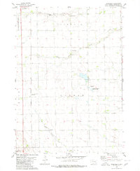
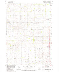
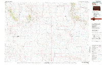
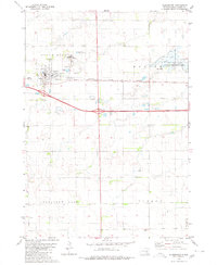
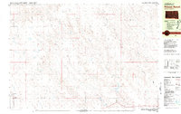
(324)- 1980 Map of Parkston SE
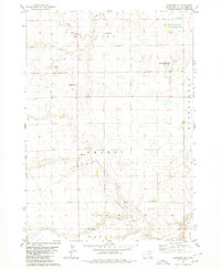 1980 Parkston SE1980 Print · USGSHutchinson County is captured here in the 1980s, showcasing a rural landscape defined by township boundaries and prairie sloughs. Genealogists can locate family-linked sites like Kulm Cem, Kulm Sch, and Hoffnungstahl Cem.
 - 1980 Map of Stickney
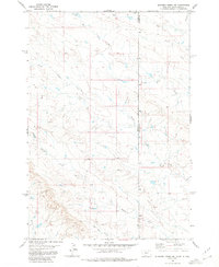
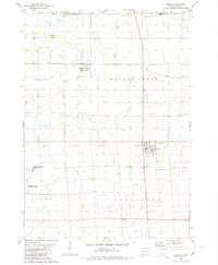
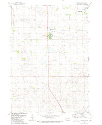 1980 Stickney1980 Print · USGSStickney and its surrounding townships are documented here during the early 1980s, showcasing a classic South Dakota agricultural landscape. Family historians can locate several local burial grounds like Silver Ridge Cem and Old St Paul Cem, or trace the course of Enemy creek.
 - 1980 Map of Corsica Lake
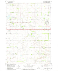
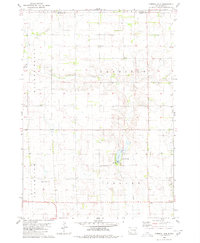 1980 Corsica Lake1980 Print · USGSThe rural landscapes of Douglas County are captured here in the late twentieth century, centered on the waters of Corsica Lake. Local historians can trace early community sites like St John Ch, the Old Ebenezer Cem, and the village of Valley.
 - 1980 Map of Capitol Rock
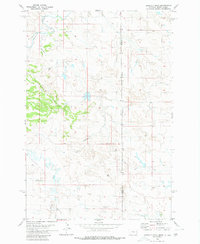
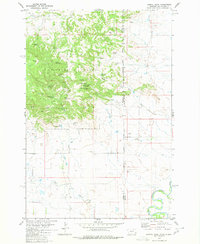 1980 Capitol Rock1980 Print · USGSThe Montana and South Dakota borderlands are captured here in the early 1980s, highlighting the transition from national forest to the river basin. Researchers can trace land use through named features like Plainview Sch, Capitol Rock, and Wickham Gulch Campground.
 - 1980 Map of Beardsley
 1980 Beardsley1980 Print · USGSHutchinson County during the mid-seventies shows a classic South Dakota prairie landscape of railroads and township cemeteries. Genealogists can locate family-named sites like Pietz Cem and Bethel Cem or trace the Chicago Milwaukee St Paul and Pacific rail line.
 - 1980 Map of Kadoka
 1980 Kadoka1980 Print · USGSWestern South Dakota's open plains and Badlands are captured here in the early eighties, showcasing a region defined by its railroads and reservations. Researchers can trace the routes of the Chicago and North Western or locate local landmarks like Kadoka Lake and Wanblee.
 - 1980 Map of Elkhorn Creek East
 1980 Elkhorn Creek East1980 Print · USGSThe Montana-South Dakota borderlands are mapped here in the early 1980s, revealing a landscape of winding prairie drainages and tri-county boundaries. Trace the paths of South Beaver Dam Creek, Elkhorn Creek, and Frozen Horse Creek across the high plains.
 - 1980 Map of Old Stickney Lake
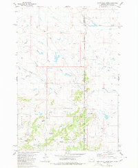
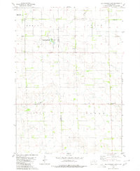 1980 Old Stickney Lake1980 Print · USGSThe South Dakota prairie stretches across the Davison and Aurora county line in the late 1970s. Local history researchers can trace rural community centers like the Townhall and Baker Sch, or locate family sites at Nicolaisen Cem and Metzgerville.
 - 1980 Map of Mitchell SW
 1980 Mitchell SW1980 Print · USGSSouth Dakota's agricultural heartland is documented in the late 1970s, showing the rural grid of Davison County. Genealogists and local historians can locate specific burial grounds like Church of God Cem and Townhall Emsley Cem among the sections.
 - 1980 Map of Shoemaker Dam
 1980 Shoemaker Dam1980 Print · USGSDavison County townships were defined by their prairie watercourses and rail connections in the late twentieth century. Genealogists and researchers can locate the New Home Cemetery and follow the path of the C M St P & P railroad past Shoemaker Dam.
 - 1980 Map of Redig
 1980 Redig1980 Print · USGSNorthwest South Dakota is captured in the early eighties as a landscape of isolated ranges and sprawling ranchland. Researchers can locate remote outposts like Redig and Harding, or trace the rugged geography of Slim Buttes and the Short Pine Hills.
 - 1980 Map of Elkhorn Creek SE
 1980 Elkhorn Creek SE1980 Print · USGSThe Montana-South Dakota borderlands are captured here in the early seventies, showing the remote drainages of Carter and Butte counties. Genealogists and historians can trace family-named landmarks like Watson Draw and the winding course of Frozen Horse Creek.
 - 1980 Map of Mount Vernon
 1980 Mount Vernon1980 Print · USGSThe agricultural plains of Davison and Aurora counties are captured here in the early 1980s. Genealogists and historians can trace the intersection of the Chicago Milwaukee St Paul and Pacific rail line and local sites like Quaker Cem and Mount Vernon.
 - 1980 Map of Humbolt Hills
 1980 Humbolt Hills1980 Print · USGSThe Montana and South Dakota borderlands come into focus in the early eighties, showcasing a remote landscape of high-plains drainage. Researchers can trace the path of Humbolt Creek and identify sites of energy exploration like an Oil Well or Drill Hole.
 - 1980 Map of Snow Lake
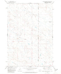
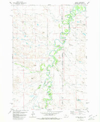
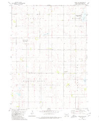 1980 Snow Lake1980 Print · USGSBrule County prairie life in the late seventies is marked by scattered schoolhouses and small country churches. Genealogists can trace local landmarks like Highland Sch, Gabrielson Cem, and the waters of Freeland Lake.
 - 1980 Map of Parkston
 1980 Parkston1980 Print · USGSHutchinson County agriculture and transport thrived in the 1970s as the rail line connected the grain-growing heartland. Researchers can locate family roots at SS Peter & Paul Cem, trace the waters of Lake Dimock, or follow the Chicago Milwaukee St Paul and Pacific tracks.
 - 1980 Map of Betts
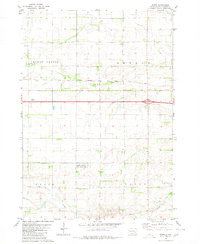 1980 Betts1980 Print · USGSThe Davison County prairie in the late seventies is defined by its rural townships and rail corridors. Trace the path of the Chicago Milwaukee St Paul and Pacific railroad past Betts and the Mt Vernon Cem.
 - 1980 Map of Plankinton
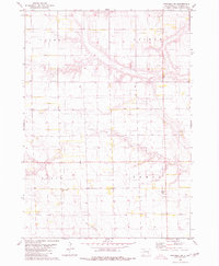
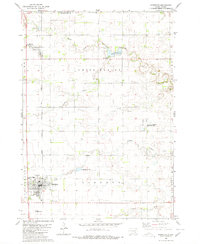
 1980 Plankinton1980 Print · USGSPlankinton and its surrounding townships are shown here in the early 1980s, revealing a prairie landscape defined by the railroad and local institutions. Genealogists can trace family records at St Johns Cem or Mizpah Cem, and locate the historic State Training Sch.
 - 1980 Map of Capitol
 1980 Capitol1980 Print · USGSThe Montana and South Dakota borderlands come into focus in the early 1980s, centered on the winding Little Missouri River. Genealogists and local historians can locate the Capitol Cem, Capitol Sch, and landmarks like Sky Ranch and The Island.2 unique versions available
 - 1980 Map of Camp Crook
 1980 Camp Crook1980 Print · USGSNorthwestern South Dakota and the North Dakota borderlands come into focus in the late seventies, showing a landscape of high buttes and river breaks. Researchers can trace remote ranching outposts like Ralph and Ladner or locate landmarks like Window Rock and the Harding County Airport.
 - 1980 Map of North Slick Creek
 1980 North Slick Creek1980 Print · USGSThe border of Montana and South Dakota is captured here in the early 1980s, illustrating a remote landscape of ranching and national forest management. Genealogists and local historians can locate Carter School and several family-named landmarks like Pendleton Well and Brown Jug Spring.2 unique versions available
 - 1980 Map of Corsica, 1981 Print
 1980 Corsica1981 Print · USGSSouth Dakota's prairie landscape near Corsica is captured here during the late twentieth century. Genealogists and local historians can trace the town's development through Graceland Cem, the local Townhall, and the extensive National Waterfowl Production Area.
 - 1980 Map of Beverly Creek, 1981 Print
 1980 Beverly Creek1981 Print · USGSWest of the Moreau River in the early 1980s, this region captures the high plains at the meeting point of three counties. Genealogists and historians can trace the isolated settlement at Mud Butte and rural road networks near Beverly Creek and Cabin Creek.
 - 1980 Map of McIntosh, 1981 Print
 1980 McIntosh1981 Print · USGSThe northern plains of the Standing Rock Indian Reservation are shown here as they appeared in the early 1980s. You can trace the railroad history of Corson County along the Chicago Milwaukee St Paul and Pacific line, connecting settlements like Watauga and Morristown.
 - 1980 Map of Princes Ranch, 1981 Print
 1980 Princes Ranch1981 Print · USGSStanley County ranching life is well-documented in this early 1980s survey of the high plains. Researchers can trace family landholdings and homestead locations such as Princes Ranch, Franzke Ranch, and the Haskins Ranch along the banks of Willow Creek.
Showing maps 1-25 of 324
Top cities of South Dakota
- Sioux Falls historical maps
- Rapid City historical maps
- Aberdeen historical maps
- Watertown historical maps
- Brookings historical maps
- Mitchell historical maps
See more
Top counties of South Dakota
- Minnehaha County historical maps
- Pennington County historical maps
- Lincoln County historical maps
- Brown County historical maps
- Brookings County historical maps
- Codington County historical maps
See more
Frequently asked questions
- What are the different types of historical maps available for South Dakota?
- What is the oldest map of South Dakota?
- Where can I purchase historical maps of South Dakota for my home or office?
- Where can I download high-res historical maps of South Dakota?
- Are there historical topographic maps available for South Dakota?
- Is there historical aerial imagery available for South Dakota?
- Where are historical maps of South Dakota sourced from?