1970s Maps of South Dakota
Explore 500 historic maps of South Dakota from the 1970s. These maps offer a rare glimpse into what life looked like during the 1970s — showing old roads, neighborhoods, homes, and landmarks that have changed or disappeared over time.
Whether you're researching your family's past, planning a metal detecting trip, or studying how South Dakota's landscape evolved across the 1970s, these high-resolution maps are a powerful tool for exploring the history of this region.
- Focus on a specific era: All maps on this page are from the 1970s, giving you a focused view of this time period.
- See what’s changed: Compare century-old streets, trails, and buildings to today's modern landscape using overlays and satellite layers.
- Research with precision: Use these maps for genealogy, historical research, land use analysis, or educational projects.
- View, download, or print: Maps are fully viewable online in high resolution, and can be downloaded or printed for your own records.
Start exploring South Dakota's history through authentic maps from the 1970s. This is your window into the past.
South Dakota maps
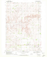
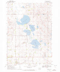
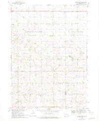
(500)- 1970 Map of Kranzburg SW, 1972 Print
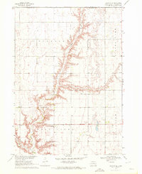
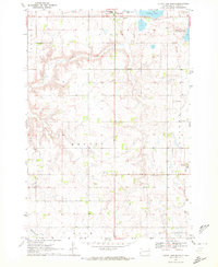
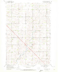 1970 Kranzburg SW1972 Print · USGSEastern South Dakota’s agricultural landscape is documented here just as modern highway expansion was beginning to reshape the prairie in the early seventies. Genealogists can locate the local Townhall or trace the winding path of Stray Horse Creek through the townships of Kranzburg and Hamlin.2 unique versions available
 - 1970 Map of Turkey Ridge, 1972 Print
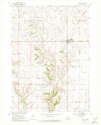
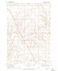
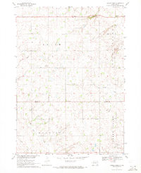 1970 Turkey Ridge1972 Print · USGSThe Turner and Yankton county lines meet at the dawn of the 1970s in this detailed survey of South Dakota's farm country. Researchers can trace rural life through a network of one-room school sites like Lowell Sch and local burial grounds such as Bang Cem.
 - 1970 Map of Brandt, 1972 Print
 1970 Brandt1972 Print · USGSDeuel County's prairie pothole region comes into focus during the early 1970s, centered on the small community of Brandt. Genealogists and local historians can locate East Highland Ch, trace the banks of Cobb Creek, and explore the wetlands of Cottonwood Slough.
 - 1970 Map of White NE, 1972 Print
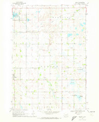
 1970 White NE1972 Print · USGSEastern Brookings County at the start of the 1970s shows a landscape of established townships and prairie waterways. Researchers can trace land boundaries near Oak Lake, locate the local Townhall, and study the shoreline of Lake Hendricks.
 - 1970 Map of Kranzburg, 1972 Print
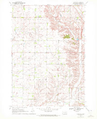
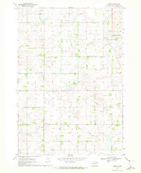
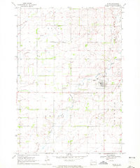
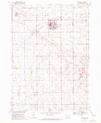
 1970 Kranzburg1972 Print · USGSCodington County was established as a productive farming region by the 1970s, as shown in this detailed survey of the prairie landscape. Researchers can trace the Old Railroad Grade and locate family landmarks like Holy Rosary Cem and St Josephs Cem.
 - 1970 Map of Bemis, 1972 Print
 1970 Bemis1972 Print · USGSSettled prairie life in Deuel County is captured here in the early seventies, showcasing a landscape of section-line roads and rural townships. Researchers can trace the Old Railroad Grade or locate family roots at Swedish Cem and Bemis Ch.
 - 1970 Map of Steamboat Creek, 1972 Print
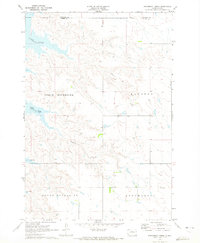 1970 Steamboat Creek1972 Print · USGSPotter and Walworth Counties at the dawn of the seventies show a landscape reshaped by the rising Missouri River. Genealogists can locate family landmarks like the Appomattox Sch and trace early reservoir shorelines at Dodge Bay and Latin Bay.
 - 1970 Map of Astoria, 1972 Print
 1970 Astoria1972 Print · USGSThe town of Astoria sits at a crossroads of rail and prairie at the start of the 1970s. Genealogists and historians can trace the Chicago and North Western tracks, locate Bethlehem Cem, and explore the conservation lands around Oak Lake.
 - 1970 Map of Clayton NE, 1972 Print
 1970 Clayton NE1972 Print · USGSHutchinson County agriculture and community life are well-documented in the early seventies, featuring the rolling prairie around Wolf Creek. Genealogists can trace local roots through landmarks like Stern Cem, New Hutterthal Ch, and the shores of Silver Lake.
 - 1970 Map of Patch Skin Buttes, 1972 Print
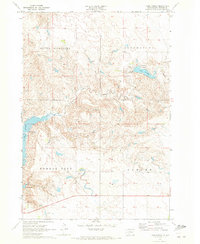
 1970 Patch Skin Buttes1972 Print · USGSHigh plains terrain and the rising waters of the Missouri River Basin define this Dewey County landscape in the early seventies. Researchers can trace the shoreline of Lake Oahe and locate landmarks like Patch Skin Buttes, Coffee Butte, and Buffalo Creek.
 - 1970 Map of White, 1972 Print
 1970 White1972 Print · USGSBrookings County at the dawn of the seventies reveals a landscape of structured townships and prairie homesteads. Genealogists can trace family roots through sites like St Pauls Cem, Pioneer Ch, and the distinct path of an Old Railroad Grade.
 - 1970 Map of Freeman SE, 1972 Print
 1970 Freeman SE1972 Print · USGSTurner County's agricultural heartland is documented in the early seventies, showing a landscape defined by the township grid and the elevations of Turkey Ridge. Genealogists and historians can locate rural landmarks like Salem Zion Ch, North Star Sch, and Schlosser Cem.
 - 1970 Map of Irene, 1972 Print
 1970 Irene1972 Print · USGSIrene and the surrounding townships of Turner and Yankton counties are captured in the early 1970s during a period of steady agricultural tradition. Researchers can trace local history through landmarks like Trondhjem Ch, Salem Cem, and the Burlington Northern rail line.
 - 1970 Map of Clear Lake South, 1972 Print
 1970 Clear Lake South1972 Print · USGSDeuel County's prairie landscape is captured in the early 1970s, showcasing the agricultural townships and water bodies south of Clear Lake. Genealogists and local historians can trace legacy sites like the Old Folks Home, Highland Cem, and the path of the Old Railroad Grade.
 - 1970 Map of Freeman, 1972 Print
 1970 Freeman1972 Print · USGSHutchinson County agriculture and education are centered here in the early 1970s as the rail line still serves the prairie. Genealogists can trace family landmarks like Knodel Cem, Brookside Sch, and the campus of Freeman Jr College.
 - 1970 Map of Lake Hurley, 1972 Print
 1970 Lake Hurley1972 Print · USGSThe Potter County riverfront in the early seventies shows a landscape redefined by the Missouri River reservoir system. Genealogists and historians can trace local landmarks like the Forest City Sch, Lake Hurley, and the Ebach Landing Strip.
 - 1970 Map of Estelline SE, 1972 Print
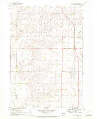 1970 Estelline SE1972 Print · USGSDeuel and Brookings counties are shown during a period of infrastructure growth in the 1970s. Genealogists and local historians can locate the St John Cem, the settlement of Johnsonville, and the Chicago and Northwestern rail line.2 unique versions available
 - 1970 Map of Goodwin, 1972 Print
 1970 Goodwin1972 Print · USGSDeuel County in the early seventies reveals a landscape of glacial lakes and prairie conservation. Genealogists and local historians can trace the Goodwin townsite, the Goodwin Cem, and the path of the Old Railroad Grade.2 unique versions available
 - 1970 Map of Vivian SW, 1972 Print
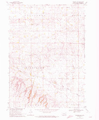
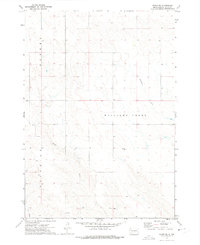 1970 Vivian SW1972 Print · USGSJones County's rural landscape is captured here in the early seventies, showing a region defined by its watercourses and section lines. Researchers can trace the paths of Williams Creek, identify the Flowing Well, and locate the distinct terrain of Zickrick.
 - 1970 Map of Lake Hurley NE, 1972 Print
 1970 Lake Hurley NE1972 Print · USGSPotter and Walworth Counties come into focus during the early seventies, showing a prairie landscape of townships and creeks. Genealogists can locate family landmarks like Hanson Cem or trace the rural life around Fayette Sch and Little Cheyenne Creek.
 - 1970 Map of Estelline, 1972 Print
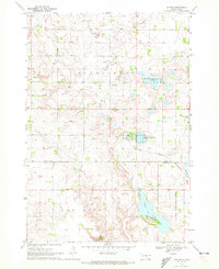
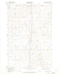
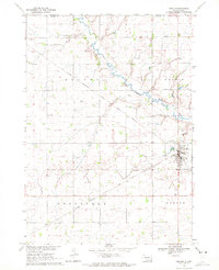
 1970 Estelline1972 Print · USGSEstelline at the start of the 1970s shows a classic prairie rail town defined by the Big Sioux River and the Chicago and North Western line. Genealogists and local historians can locate family plots at the local Cem or trace landmarks like the Estelline Municipal Airport and numerous rural Gravel Pits.
 - 1970 Map of Center Point, 1972 Print
 1970 Center Point1972 Print · USGSThe Turner and Yankton County line in the early seventies reveals a landscape of rural schoolhouses and family cemeteries. Genealogists can trace the history of Center Point and locate several burial sites including Meldal Cemetery and Evergreen Cemetery.
 - 1970 Map of Estelline NE, 1972 Print
 1970 Estelline NE1972 Print · USGSDeuel County in the early seventies remains a landscape of section-line roads and family farmsteads. Genealogists and local historians can trace legacy sites like Tabor Cem, Oakwood Sch, and the local Townhall amid the townships of Havana and Brandt.2 unique versions available
 - 1970 Map of Marion, 1972 Print
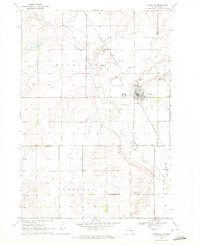
 1970 Marion1972 Print · USGSThe prairie landscape of southeastern South Dakota is captured here in the early seventies, centered on the rail hub of Marion. Genealogists and local historians can locate numerous rural landmarks like Dicks Sch, Bethesda Ch, and Tieszen Cem.
 - 1970 Map of Dolton, 1972 Print
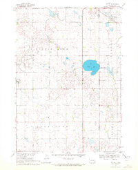 1970 Dolton1972 Print · USGSSoutheast South Dakota's prairie landscape is documented here in the early seventies at the intersection of three counties. Genealogists and local historians can locate specific family landmarks such as Tschetter Cem and Hutterthal Ch near the waters of Silver Lake.
Showing maps 1-25 of 500
Top cities of South Dakota
- Sioux Falls historical maps
- Rapid City historical maps
- Aberdeen historical maps
- Watertown historical maps
- Brookings historical maps
- Mitchell historical maps
See more
Top counties of South Dakota
- Minnehaha County historical maps
- Pennington County historical maps
- Lincoln County historical maps
- Brown County historical maps
- Brookings County historical maps
- Codington County historical maps
See more
Frequently asked questions
- What are the different types of historical maps available for South Dakota?
- What is the oldest map of South Dakota?
- Where can I purchase historical maps of South Dakota for my home or office?
- Where can I download high-res historical maps of South Dakota?
- Are there historical topographic maps available for South Dakota?
- Is there historical aerial imagery available for South Dakota?
- Where are historical maps of South Dakota sourced from?