2000s (21st Century) Maps of South Dakota
Explore 6,337 historic maps of South Dakota from the 2000s (21st Century). These maps offer a rare glimpse into what life looked like during the 2000s — showing old roads, neighborhoods, homes, and landmarks that have changed or disappeared over time.
Whether you're researching your family's past, planning a metal detecting trip, or studying how South Dakota's landscape evolved across the 2000s, these high-resolution maps are a powerful tool for exploring the history of this region.
- Focus on a specific era: All maps on this page are from the 2000s, giving you a focused view of this time period.
- See what’s changed: Compare century-old streets, trails, and buildings to today's modern landscape using overlays and satellite layers.
- Research with precision: Use these maps for genealogy, historical research, land use analysis, or educational projects.
- View, download, or print: Maps are fully viewable online in high resolution, and can be downloaded or printed for your own records.
Start exploring South Dakota's history through authentic maps from the 2000s. This is your window into the past.
South Dakota maps
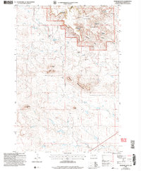
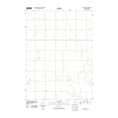
(6,337)- 2005 Map of Battleship Rock, 2007 Print
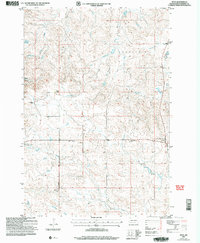
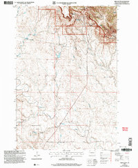
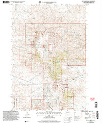 2005 Battleship Rock2007 Print · USGSHarding County ranching and the high plateaus of the Custer National Forest are captured here in the mid-2000s. Researchers can trace historic family lands like the Olson Ranch and M Lermeny Ranch or locate landmarks like Reva Gap and Battleship Rock.
 - 2005 Map of Capitol Rock, 2007 Print
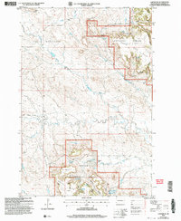
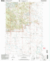 2005 Capitol Rock2007 Print · USGSThe Montana-South Dakota borderlands in the early 2000s show a landscape of remote ranching and forest management. Genealogists and historians can locate established family lands such as Babb Ranch and C Odell Ranch, or trace the grounds of the Plainview Sch (Abandoned).
 - 2005 Map of Moreau Peak, 2007 Print
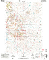
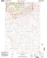 2005 Moreau Peak2007 Print · USGSHarding County, South Dakota, is captured here in the early 2000s, showcasing a landscape of high timbered ridges and isolated ranching outposts. Researchers can find land-use details ranging from the Fox Ranch to the heights of East Short Pine Hills and Moreau Peak.
 - 2005 Map of Camp Crook, 2007 Print
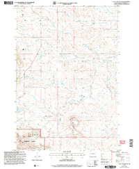
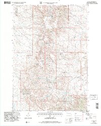
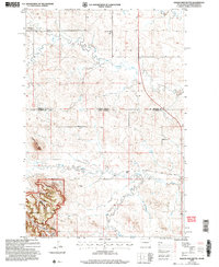
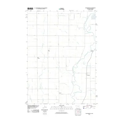
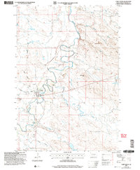 2005 Camp Crook2007 Print · USGSCamp Crook and the surrounding Harding County landscape are documented here at the turn of the millennium. Researchers can trace ranching history at the K Bar and Catron Ranch, or locate the Fairview Cem and the Rodeo Ground along the Little Missouri River.
 - 2005 Map of McKenzie Butte, 2007 Print
 2005 McKenzie Butte2007 Print · USGSHarding County ranching and energy production intersect in the early 2000s within the Custer National Forest. Researchers can locate legacy family holdings like Butler Ranch alongside the Hilton Mine and the historic Cave Hills Ch.
 - 2005 Map of Flat Top Butte, 2007 Print
 2005 Flat Top Butte2007 Print · USGSHarding County ranching country is documented here in the early 2000s, showing the intersection of private land and the Custer National Forest. Researchers can trace old family sites like Verhulst Ranch and local landmarks like Flat Top Butte.
 - 2005 Map of Hay Creek, 2007 Print
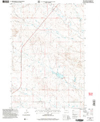 2005 Hay Creek2007 Print · USGSThe drainages of Harding County are captured here in the mid-2000s, showing a landscape defined by seasonal water and section lines. Trace the paths of Hay Creek and Bull Creek or locate local landmarks like Johnson Road.
 - 2005 Map of North Slick Creek, 2007 Print
 2005 North Slick Creek2007 Print · USGSThe high plains of Carter County meet the South Dakota border in the early 2000s, where remote ranching and forest management define the landscape. Researchers can trace land use through features like the D Turbiville Ranch, Bill Spring, and Section 21 Reservoir.
 - 2005 Map of Reva, 2007 Print
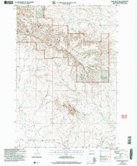
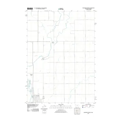
 2005 Reva2007 Print · USGSHarding County ranching and frontier history are preserved in this mid-2000s survey of the Reva area. Researchers can trace family ranch lands like Besler Ranch and locate the historic Battle of Slim Buttes site and Our Lady of the Prairie Ch.
 - 2005 Map of Ladner SE, 2007 Print
 2005 Ladner SE2007 Print · USGSHarding County ranching and forest lands are captured here in the early 2000s, showing a landscape shaped by remote outposts and vital water sources. Researchers can locate family landmarks like the J Clarkson Ranch, find numerous prospects, and trace the rugged Cave Hills terrain.
 - 2005 Map of Ludlow, 2007 Print
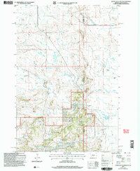
 2005 Ludlow2007 Print · USGSHarding County ranching and forest lands are captured here in the early 2000s, centered on the Custer National Forest and the community of Ludlow. Researchers can trace old water rights and range improvements at Rotten Burger Ranch or locate the historic Ludlow Cave.
 - 2005 Map of J B Hill, 2007 Print
 2005 J B Hill2007 Print · USGSHarding County ranching and forest lands are documented here during the mid-2000s, reflecting a landscape of high buttes and vital water sources. Researchers can locate family landmarks like the Hotchkiss Ranch and Jesse Elliot homestead, or trace the North Divide Road across Slim Buttes.
 - 2005 Map of Irish Butte, 2007 Print
 2005 Irish Butte2007 Print · USGSHarding County ranching country is documented here in the early 2000s, where the Missouri Plateau meets the heights of the Slim Buttes. Researchers can trace old family holdings like Laflin Ranch and local landmarks such as Gobert Sch and Irish Butte.
 - 2005 Map of Eagles Nest Butte, 2007 Print
 2005 Eagles Nest Butte2007 Print · USGSThe North Dakota and South Dakota borderlands meet here in the early twenty-first century, revealing a landscape of high plains ranching and national forest. Genealogists and local historians can locate the Feist Ranch, trace the Bullock Road, and find the sites of the Lone Tree School and Cox School.
 - 2005 Map of Sheep Mountain, 2007 Print
 2005 Sheep Mountain2007 Print · USGSHarding County’s high-plains landscape comes into focus in this mid-2000s survey of the Slim Buttes area. Local historians can trace early ranching and mineral footprints through named sites like H Jensen, the Prospect mines, and critical water sources such as Moonshine Spring.
 - 2005 Map of Ladner NE, 2007 Print
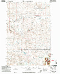 2005 Ladner NE2007 Print · USGSThe borderlands of South Dakota and North Dakota are documented here in the early 2000s, showing a high plains landscape of ranching and national forest. Genealogists and local historians can locate the Grand River Sch, Cox Ch, and family landmarks like Janvrin Ranch.
 - 2005 Map of Hells Canyon, 2007 Print
 2005 Hells Canyon2007 Print · USGSHarding County in the early 2000s remains a land of remote ranching outposts and rugged drainages. Researchers can trace the landscape of the Short Pine Hills and locate the Dunn Ranch or follow the waters of the South Fork Moreau River and Ash Creek.
 - 2010 Map of Sioux City North, 2010 Print
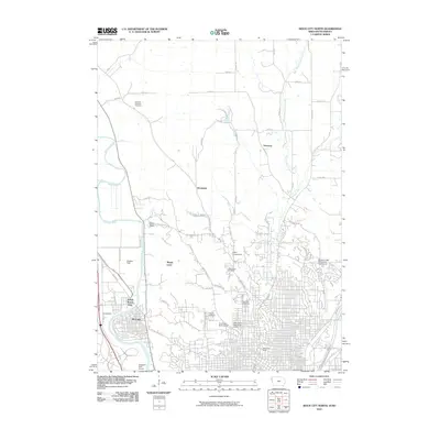 2010 Sioux City North2010 Print · USGSCovers South Dakota, including Sioux City, Dakota Dunes, and other nearby areas
 - 2010 Map of Alcester NE, 2010 Print
 2010 Alcester NE2010 Print · USGSCovers South Dakota, including Settlers Township, Eden Township, and other nearby areas
 - 2010 Map of Canton, 2010 Print
 2010 Canton2010 Print · USGSCovers South Dakota, including Canton, Lyon Township, and other nearby areas
 - 2010 Map of Klondike, 2010 Print
 2010 Klondike2010 Print · USGSCovers South Dakota, including Klondike, Granite, and other nearby areas
 - 2010 Map of Alcester SE, 2010 Print
 2010 Alcester SE2010 Print · USGSCovers South Dakota, including Alcester, Eden Township, and other nearby areas
 - 2010 Map of Chatsworth, 2010 Print
 2010 Chatsworth2010 Print · USGSCovers South Dakota, including Hawarden, Big Springs, and other nearby areas
 - 2010 Map of Akron, 2010 Print
 2010 Akron2010 Print · USGSCovers South Dakota, including Akron, Westfield, and other nearby areas
 - 2010 Map of Hawarden North, 2010 Print
 2010 Hawarden North2010 Print · USGSCovers South Dakota, including Hawarden, Eden Township, and other nearby areas
Showing maps 1-25 of 6,337
Top cities of South Dakota
- Sioux Falls historical maps
- Rapid City historical maps
- Aberdeen historical maps
- Watertown historical maps
- Brookings historical maps
- Mitchell historical maps
See more
Top counties of South Dakota
- Minnehaha County historical maps
- Pennington County historical maps
- Lincoln County historical maps
- Brown County historical maps
- Brookings County historical maps
- Codington County historical maps
See more
Frequently asked questions
- What are the different types of historical maps available for South Dakota?
- What is the oldest map of South Dakota?
- Where can I purchase historical maps of South Dakota for my home or office?
- Where can I download high-res historical maps of South Dakota?
- Are there historical topographic maps available for South Dakota?
- Is there historical aerial imagery available for South Dakota?
- Where are historical maps of South Dakota sourced from?