2010s Maps of Wayne County, Utah
Explore 159 historic maps of Wayne County from the 2010s. These maps offer a rare glimpse into what life looked like during the 2010s — showing old roads, neighborhoods, homes, and landmarks that have changed or disappeared over time.
Whether you're researching your family's past, planning a metal detecting trip, or studying how Wayne County's landscape evolved across the 2010s, these high-resolution maps are a powerful tool for exploring the history of this region.
- Focus on a specific era: All maps on this page are from the 2010s, giving you a focused view of this time period.
- See what’s changed: Compare century-old streets, trails, and buildings to today's modern landscape using overlays and satellite layers.
- Research with precision: Use these maps for genealogy, historical research, land use analysis, or educational projects.
- View, download, or print: Maps are fully viewable online in high resolution, and can be downloaded or printed for your own records.
Start exploring Wayne County's history through authentic maps from the 2010s. This is your window into the past.
Wayne County, UT maps
(159)- 2010 Map of Baking Skillet Knoll, 2010 Print
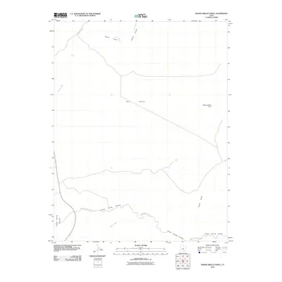 2010 Baking Skillet Knoll2010 Print · USGSGarfield County, Utah, is shown as a landscape of desert canyons and isolated water sources in this 2010 survey. Researchers can trace the path of the Poison Springs Wash Rd and locate landmarks like Baking Skillet Knoll and Dell Seep.
 - 2010 Map of Town Point, 2010 Print
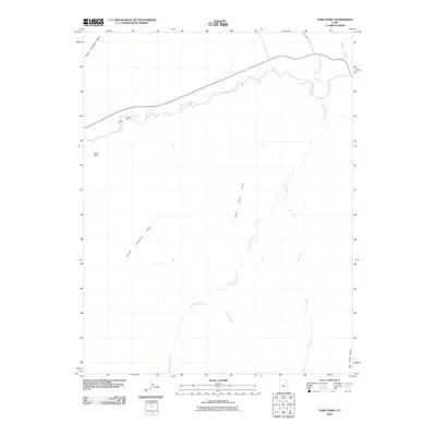 2010 Town Point2010 Print · USGSWayne County, Utah, is seen here in the early twenty-first century as a land of stark mesas and desert watercourses. Researchers can trace the rugged access via Coal Mine Rd and locate landmarks like Town Point and Blue Gate.
 - 2010 Map of Angel Point, 2010 Print
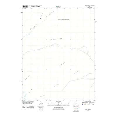 2010 Angel Point2010 Print · USGSWayne County canyonlands in the early twenty-first century are defined by the intricate drainages of the Dirty Devil River. Researchers can trace the complex network of Robbers Roost Canyon and its many forks, alongside landmarks like Angel Point and Bull Pasture.
 - 2010 Map of The Pinnacle, 2010 Print
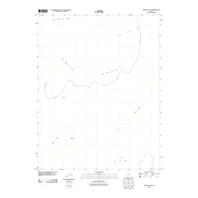 2010 The Pinnacle2010 Print · USGSGarfield County, Utah, was still defined by its complex desert geology and remote mesas in the early 21st century. Researchers can trace the path of Sams Mesa Rd as it winds between landmarks like The Pinnacle and Sams Mesa Box Canyon.
 - 2010 Map of Stevens Mesa, 2010 Print
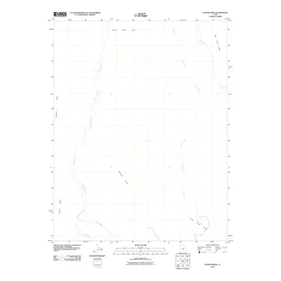 2010 Stevens Mesa2010 Print · USGSGarfield County’s high desert landscape is shown here at the start of the twenty-first century, dominated by mesas and seasonal washes. Researchers can trace the winding path of Sweetwater Creek or locate the prominent heights of Stevens Mesa and the Upper Blue Hills.
 - 2010 Map of Robbers Roost Flats, 2010 Print
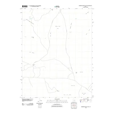 2010 Robbers Roost Flats2010 Print · USGSThe high desert plateaus of Wayne County are shown here in the early twenty-first century, centered on the legendary Robbers Roost Flats. Researchers can locate remote outposts like Biddlecome Ranch and trace the paths of Ekker Ranch Rd toward The Pinnacles.
 - 2010 Map of Angel Cove, 2010 Print
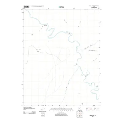 2010 Angel Cove2010 Print · USGSWayne County terrain at the start of the 21st century reveals a landscape defined by the winding Dirty Devil River. Researchers and outdoorsmen can trace the deep cuts of Robbers Roost Canyon and locate reliable water at Angel Cove Spring.
 - 2010 Map of Cleopatras Chair, 2010 Print
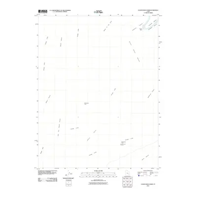 2010 Cleopatras Chair2010 Print · USGSThe high desert plateaus of San Juan County are revealed in this modern survey of the canyonlands at the turn of the decade. Researchers can trace the winding Green River through Bonita Bend or locate landforms like Cleopatras Chair and the Buttes of the Cross.
 - 2010 Map of Gordon Flats, 2010 Print
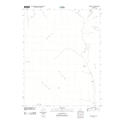 2010 Gordon Flats2010 Print · USGSGarfield County in 2010 remains a landscape of dramatic sandstone elevations and remote aviation outposts. Trace the rugged terrain of the Orange Cliffs or locate the isolated Gordon Flats Airport near Happy Canyon and the notable spire of The Hat.
 - 2010 Map of Burr Point, 2010 Print
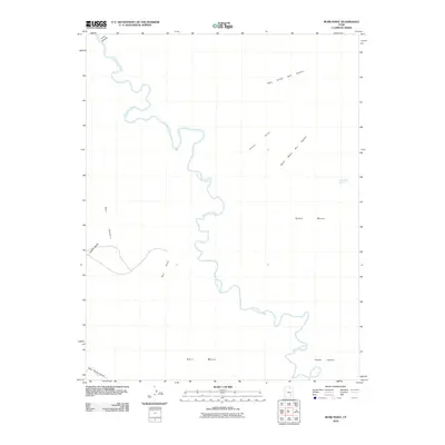 2010 Burr Point2010 Print · USGSGarfield County's high desert plateaus are mapped here in the early twenty-first century, showcasing a landscape shaped by the Dirty Devil River. Geologists and desert explorers can trace the deep drainages of Poison Spring Canyon and find remote landmarks like Sams Mesa Spring.
 - 2010 Map of Dry Lakes Peak, 2010 Print
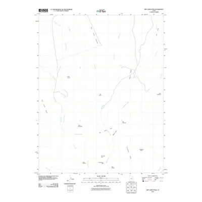 2010 Dry Lakes Peak2010 Print · USGSGarfield County’s high country is captured here during the first decade of the millennium, revealing a landscape of remote basins and plateaus. Researchers can trace land-use patterns through local markers like Rock Corral, Deer Heaven, and the seasonal passage at Cottonwood Pass.
 - 2010 Map of Head Spur, 2010 Print
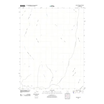 2010 Head Spur2010 Print · USGSWayne County's high desert plateaus are documented here in the early twenty-first century as they appear within the national park system. Researchers can trace remote backcountry routes across Hans Flats and find essential desert water sources like Wildcat Spring and Burro Seep.
 - 2010 Map of Upheaval Dome, 2010 Print
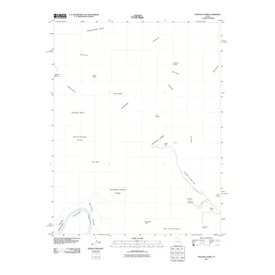 2010 Upheaval Dome2010 Print · USGSCanyonlands National Park in the early 2000s is centered on the massive geological mystery of Upheaval Dome and the Island in the Sky plateau. Researchers can trace technical backcountry routes through Syncline Valley or locate landmarks like Zeus and Moses and Valentine Bottom.
 - 2010 Map of Spanish Bottom, 2010 Print
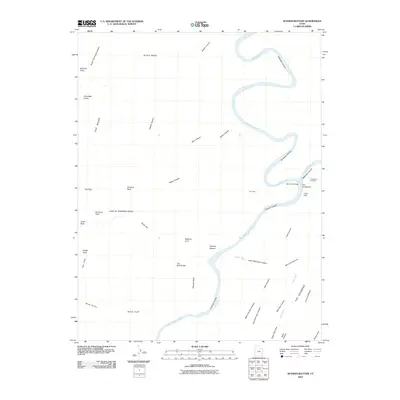 2010 Spanish Bottom2010 Print · USGSCanyonlands in the early twenty-first century is defined by the meeting of the waters and its intricate rock formations. You can trace the path of the Green River to The Confluence and locate landmarks like The Doll House and Beehive Arch.
 - 2010 Map of Moroni Peak, 2010 Print
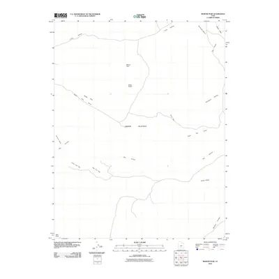 2010 Moroni Peak2010 Print · USGSWayne County, Utah, is captured in this modern survey of the high desert and mountain plateaus. Researchers and geologists can trace the landforms of the Awapa Plateau, from the heights of Moroni Peak to the deep cut of Wildcat Hollow.
 - 2010 Map of Fruita NW, 2010 Print
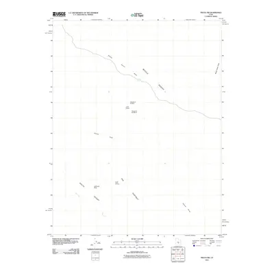 2010 Fruita NW2010 Print · USGSEmery County's desert interior is captured here in the early twenty-first century, showcasing a landscape of dramatic geological monoliths. Geologists and desert explorers can locate iconic landmarks like the Temple of the Sun, Temple of the Moon, and Jailhouse Rock.
 - 2010 Map of Solomons Temple, 2010 Print
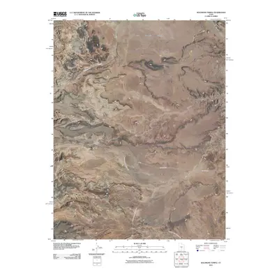 2010 Solomons Temple2010 Print · USGSSevier County's high desert landscape is documented here in the early 21st century, showing the junction of vast plateaus and canyon country. Researchers can trace remote routes like County Rd-920 past Solomons Temple and across the wide Rock Springs Bench.
 - 2010 Map of Notom, 2010 Print
 2010 Notom2010 Print · USGSThe small settlement of Notom is shown here during the early twenty-first century as it connects the high plateaus and lower desert basins. Researchers can trace the path of the Notom Bullfrog Basin Rd and locate local landmarks like Bloody Hands Gap and Tergeson Flats.
 - 2010 Map of Jakes Knoll, 2010 Print
 2010 Jakes Knoll2010 Print · USGSThe high uplands of the Awapa Plateau appear here in the early twenty-first century, showing a remote landscape defined by its peaks and drainage basins. Researchers can trace the path of Deadman Rd and locate topographic landmarks like Jakes Knoll and Red Knoll.
 - 2011 Map of Caine Springs, 2011 Print
 2011 Caine Springs2011 Print · USGSEmery County, Utah, is shown here as a landscape of vast desert drainages and high plateaus in the early twenty-first century. Researchers can trace the rugged topography of the Moroni Slopes and Wood Bench, or follow the winding path of Caineville Wash.
 - 2011 Map of Caineville, 2011 Print
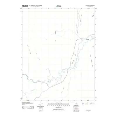 2011 Caineville2011 Print · USGSCaineville and the surrounding river breaks are captured in the early 21st century as the settlement and its geology remain inextricably linked. Local historians can trace the relationship between the Fremont River and the small outposts of Caineville and Aldrich, set against the massive Caineville Reef.
 - 2011 Map of Fruita, 2011 Print
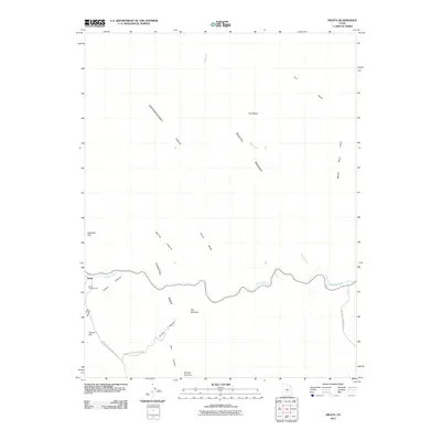 2011 Fruita2011 Print · USGSFruita and the surrounding canyons of south-central Utah are captured here in the early twenty-first century. Outdoor enthusiasts and geologists can trace the winding course of the Fremont River through the Waterpocket Fold and locate landmarks like Pectols Pyramid and The Narrows.
 - 2011 Map of Elaterite Basin, 2011 Print
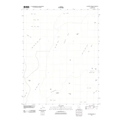 2011 Elaterite Basin2011 Print · USGSGarfield County's high desert plateaus and labyrinthine canyons are mapped here in the early twenty-first century. Researchers can trace historic navigation routes like The Golden Stairs and locate notable natural spans such as Tibbett Arch and Cave Arch.
 - 2011 Map of Steamboat Point, 2011 Print
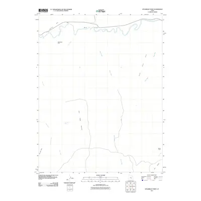 2011 Steamboat Point2011 Print · USGSWayne County's high desert landscape is documented here in the early twenty-first century, centered on the Fremont River corridor. Local historians can trace the geography around Giles and remote water sources like Bert Avery Seep near the Pinto Hills.
 - 2011 Map of Hanksville, 2011 Print
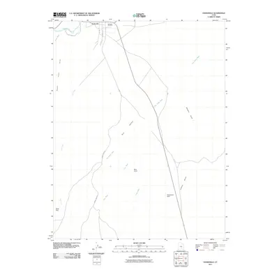 2011 Hanksville2011 Print · USGSHanksville and the surrounding high-desert plateaus of Wayne County are captured in this 2011 study at the junction of the Fremont River. Researchers can trace the layout of the town, identifying local features like the Hanksville Post Office and the trails through Dry Valley toward Blue Knoll.
Showing maps 1-25 of 159
Top cities of Wayne County
- Loa historical maps
- Bicknell historical maps
- Lyman historical maps
- Hanksville historical maps
- Torrey historical maps
Frequently asked questions
- What are the different types of historical maps available for Wayne County?
- What is the oldest map of Wayne County?
- Where can I purchase historical maps of Wayne County for my home or office?
- Where can I download high-res historical maps of Wayne County?
- Are there historical topographic maps available for Wayne County?
- Is there historical aerial imagery available for Wayne County?
- Where are historical maps of Wayne County sourced from?