2020s Maps of Wayne County, Utah
Explore 106 historic maps of Wayne County from the 2020s. These maps offer a rare glimpse into what life looked like during the 2020s — showing old roads, neighborhoods, homes, and landmarks that have changed or disappeared over time.
Whether you're researching your family's past, planning a metal detecting trip, or studying how Wayne County's landscape evolved across the 2020s, these high-resolution maps are a powerful tool for exploring the history of this region.
- Focus on a specific era: All maps on this page are from the 2020s, giving you a focused view of this time period.
- See what’s changed: Compare century-old streets, trails, and buildings to today's modern landscape using overlays and satellite layers.
- Research with precision: Use these maps for genealogy, historical research, land use analysis, or educational projects.
- View, download, or print: Maps are fully viewable online in high resolution, and can be downloaded or printed for your own records.
Start exploring Wayne County's history through authentic maps from the 2020s. This is your window into the past.
Wayne County, UT maps
(106)- 2020 Map of Elaterite Basin, 2020 Print
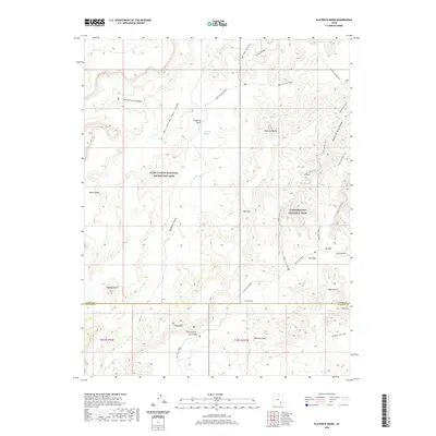 2020 Elaterite Basin2020 Print · USGSCanyonlands and Glen Canyon meet in this Utah desert landscape during the early twenty-first century. Hikers and geologists can trace remote routes like Maze Overlook Road to find landmarks such as Lizard Rock, Tibbett Arch, and The Mother and Child.
 - 2020 Map of Upheaval Dome, 2020 Print
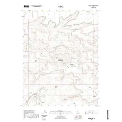 2020 Upheaval Dome2020 Print · USGSCanyonlands National Park is revealed in this contemporary survey of the high desert, centered on the unique geological mystery of Upheaval Dome. Trace the paths of the White Rim Road and Upheaval Canyon Trail past iconic landmarks like Candlestick Tower and Whale Rock.
 - 2020 Map of Baking Skillet Knoll, 2020 Print
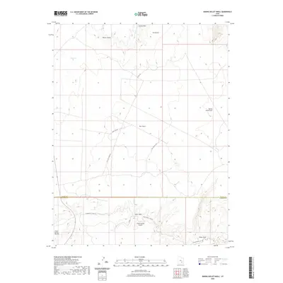 2020 Baking Skillet Knoll2020 Print · USGSThe high plateau of the Burr Desert is captured in this recent survey at the Wayne and Garfield County line. Trace the remote network of trails and springs that define the area, from Baking Skillet Knoll to the depths of Poison Spring Canyon.
 - 2020 Map of Point of Rocks West, 2020 Print
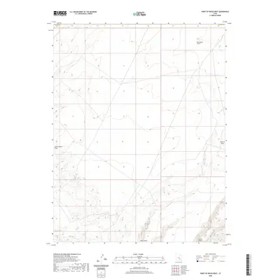 2020 Point of Rocks West2020 Print · USGSThe Emery and Wayne County line meets in the expansive San Rafael Desert as it appeared in 2020. Geographers and explorers can trace the complex drainage through Buck Canyon, Little Antelope Valley, and the landmark Point of Rocks.
 - 2020 Map of Town Point, 2020 Print
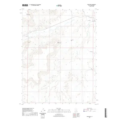 2020 Town Point2020 Print · USGSWayne County’s high desert and river valleys are captured here in the 2020s, showing a landscape defined by massive mesas and isolated outposts. Researchers can locate the Town Point Cem and trace rural routes like Coal Mine Rd near the Fremont River.
 - 2020 Map of The Pinnacle, 2020 Print
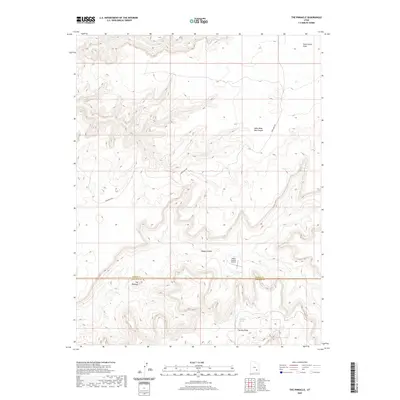 2020 The Pinnacle2020 Print · USGSThe remote borderlands of Wayne and Garfield counties are captured here in the 2020s, showing a rugged landscape of high mesas and deep canyons. Researchers can locate isolated landmarks like Happy Canyon Airport and water sources such as Dripping Spring and Two Pipe Springs.
 - 2020 Map of Cleopatras Chair, 2020 Print
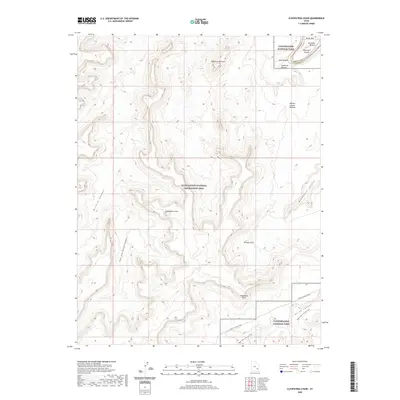 2020 Cleopatras Chair2020 Print · USGSThe high desert of San Juan County is shown here in the modern era as a protected wilderness where the river and plateau meet. You can trace early backcountry routes like the Horse Canyon Trail and locate remote river landmarks such as Anderson Bottom and Buttes of the Cross.
 - 2020 Map of Spanish Bottom, 2020 Print
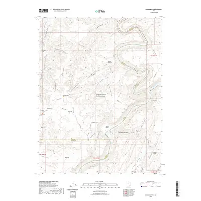 2020 Spanish Bottom2020 Print · USGSCanyonlands National Park at the confluence of the Green and Colorado rivers is shown here in the early twenty-first century. Backcountry travelers and geologists can trace remote routes like Doll House Road to landforms such as Beehive Arch, Spanish Bottom, and the Chocolate Drops.
 - 2020 Map of Factory Butte, 2020 Print
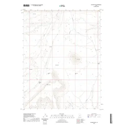 2020 Factory Butte2020 Print · USGSEmery County's high-desert geology is showcased here in the modern era, featuring the prominent peak of Factory Butte. Researchers can trace the desert tracks of Factory Rd and locate landmarks like Wood Bench and the Upper Blue Hills.
 - 2020 Map of Hanksville, 2020 Print
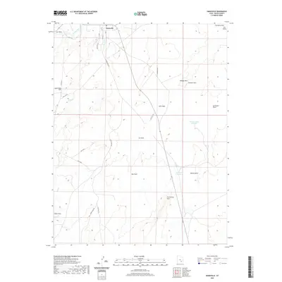 2020 Hanksville2020 Print · USGSHanksville and the surrounding Wayne County desert are captured here in the early twenty-first century as a remote intersection of river and road. Trace local geography through landmarks like Penitentiary Point and historic water sources such as Meadow Gulch Reservoir.
 - 2020 Map of Twin Rocks, 2020 Print
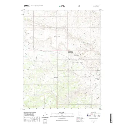 2020 Twin Rocks2020 Print · USGSWayne County canyonlands and forest plateaus are documented here in 2020, showing the intersection of federal lands and the historic settlement at Fruita. Local historians can trace the paths of Sulphur Creek, identify landmarks like The Castle, and locate Beas Lewis Flats.
 - 2020 Map of Geyser Peak, 2020 Print
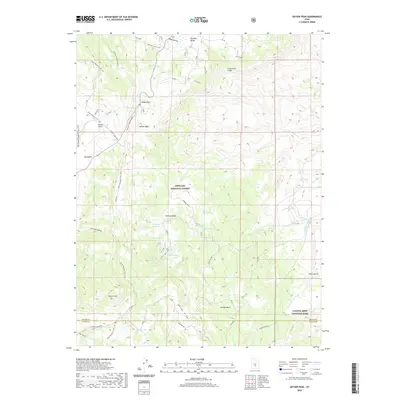 2020 Geyser Peak2020 Print · USGSSevier County's high-country wilderness is documented here in the early twenty-first century, showing the transition from forest to desert. Researchers can trace remote water sources like Solomon Reservoir and navigate landmarks such as Geyser Peak and Hogan Pass.
 - 2020 Map of Caine Springs, 2020 Print
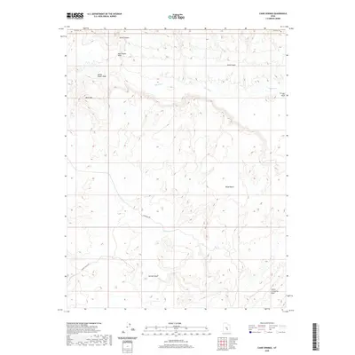 2020 Caine Springs2020 Print · USGSEmery County's desert canyons and high benches are documented here in the early twenty-first century, showing a landscape defined by its rare water sources. Researchers can trace the path of Cathedral Rd past Caine Springs and the striking North Caineville Reef.
 - 2020 Map of Whitbeck Knoll, 2020 Print
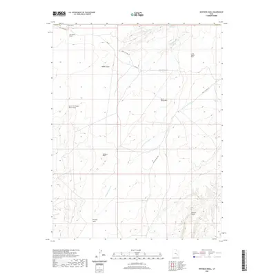 2020 Whitbeck Knoll2020 Print · USGSThe eastern Utah desert is captured here in the contemporary era, showing a landscape defined by deep canyons and isolated water sources. Researchers can trace remote routes like Lower San Rafael Rd and locate vital springs such as Hooch Spring and Village Home Spring.
 - 2020 Map of Burr Point, 2020 Print
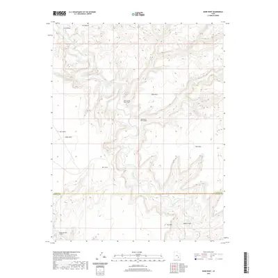 2020 Burr Point2020 Print · USGSGarfield and Wayne counties remain a wild intersection of plateaus and canyons in this contemporary survey of the Utah desert. Geologists and hikers can trace the winding Dirty Devil River as it passes Burr Point and the steep walls of Sams Mesa.
 - 2020 Map of Lyman, 2020 Print
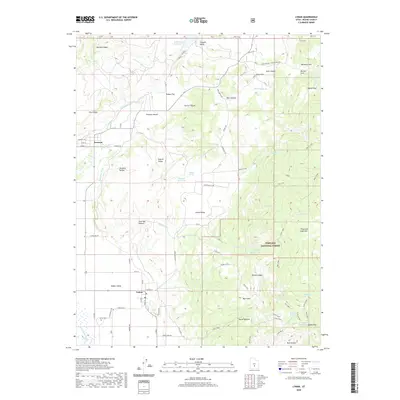 2020 Lyman2020 Print · USGSLyman and Fremont appear in the high country of central Utah during the early twenty-first century. Researchers can trace irrigation networks like the High Line Ditch and find local landmarks such as Lyman Cem and the shores of Blind Lake.
 - 2020 Map of Flat Top, 2020 Print
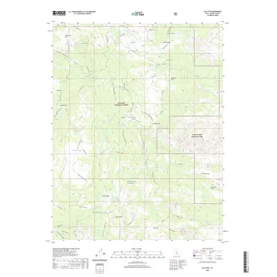 2020 Flat Top2020 Print · USGSWayne County's high plateaus and canyon edges are documented in 2020 at the meeting point of Fishlake National Forest and Capitol Reef National Park. Trace historical routes through Billings Pass or locate high-country water at Wiffs Pasture and Neffs Reservoir.
 - 2020 Map of Bicknell, 2020 Print
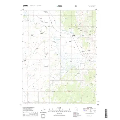 2020 Bicknell2020 Print · USGSBicknell and Rabbit Valley are documented here in the early twenty-first century, showing the intersection of high-desert ranching and national forest lands. Genealogists and hikers can trace the Bicknell Cem and remote trails near Thousand Lake Mtn.
 - 2020 Map of Golden Throne, 2020 Print
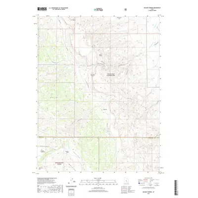 2020 Golden Throne2020 Print · USGSSouthern Utah's high desert reveals its complex geological and pioneer history during the early twenty-first century. Researchers can trace historic travel corridors like the Old Wagon Trail Loop and identify named local landmarks such as Eph Hanks Tower and the Golden Throne.
 - 2020 Map of Torrey, 2020 Print
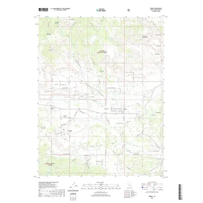 2020 Torrey2020 Print · USGSTorrey and Teasdale sit at the foot of Thousand Lake Mountain in this detailed 2020 study of the Fremont River valley. Researchers can trace local genealogy at Teasdale Cem or explore the rugged backcountry along the Great Western Trail and Torrey Canal.
 - 2020 Map of Jakes Knoll, 2020 Print
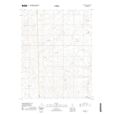 2020 Jakes Knoll2020 Print · USGSThe high basins of the Utah plateau country are documented here in the early twenty-first century. Researchers can trace remote water sources and high-elevation topography across Awapa Plateau, including Jakes Knoll, Parker Mtn, and Square Reservoir.
 - 2020 Map of Cathedral Mountain, 2020 Print
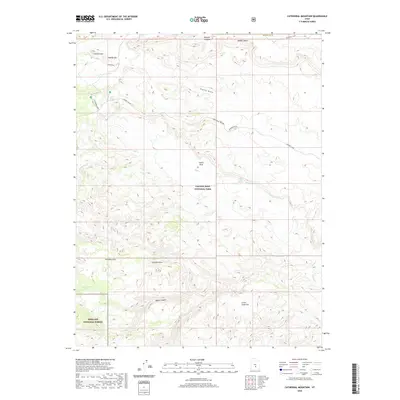 2020 Cathedral Mountain2020 Print · USGSEmery County's high-desert wilderness is documented in the modern era as it spans protected federal lands. Researchers can trace remote desert routes and landmark summits like Cathedral Mtn, Acklin Peak, and the geological curiosities of the Gypsum Sinkhole.
 - 2020 Map of Caineville, 2020 Print
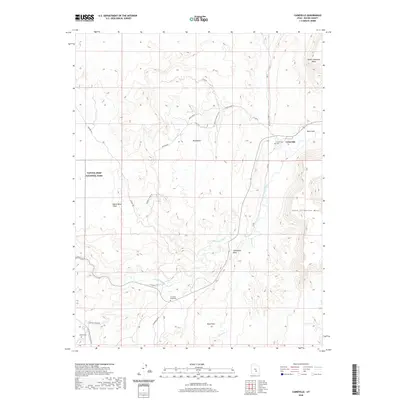 2020 Caineville2020 Print · USGSCaineville and the surrounding desert mesas are documented in this recent survey of the Fremont River valley. Researchers can pinpoint historic locations such as the Crowther Gravesite, Caineville Cem, and the boundaries of Capitol Reef National Park.
 - 2020 Map of Horsethief Canyon, 2020 Print
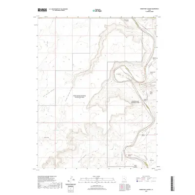 2020 Horsethief Canyon2020 Print · USGSThe Green River meanders through the heart of the Utah desert in the early twenty-first century, marking the border of protected federal lands. Trace historical routes and river access points like the Fort Bottom Ruins Trail, White Rim Road, and Queen Ann Bottom.
 - 2020 Map of Flossie Knoll, 2020 Print
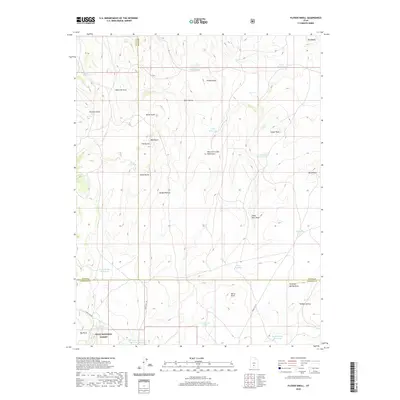 2020 Flossie Knoll2020 Print · USGSHigh-altitude water management and forest service tracks define this tri-county intersection in the mountains south of Loa. Researchers can trace remote catchment systems like Death Hollow Reservoir and the peaks of The Buttes across the Dixie National Forest.
Showing maps 1-25 of 106
Top cities of Wayne County
- Loa historical maps
- Bicknell historical maps
- Lyman historical maps
- Hanksville historical maps
- Torrey historical maps
Frequently asked questions
- What are the different types of historical maps available for Wayne County?
- What is the oldest map of Wayne County?
- Where can I purchase historical maps of Wayne County for my home or office?
- Where can I download high-res historical maps of Wayne County?
- Are there historical topographic maps available for Wayne County?
- Is there historical aerial imagery available for Wayne County?
- Where are historical maps of Wayne County sourced from?