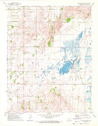
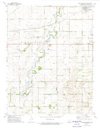
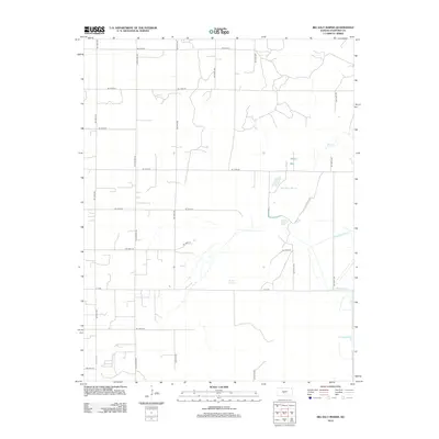
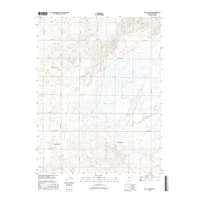
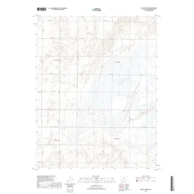
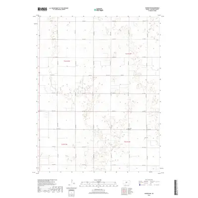
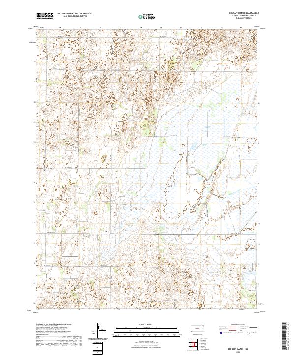
1971 Map of Big Salt Marsh
USGS Topo · Published 1972About this map
Quivira National Wildlife Refuge dominates the eastern half of this 1970s landscape, where complex wetland systems and water management infrastructure define the terrain. The presence of Big Salt Marsh and the surrounding Salt Creek drainage point to a unique saline environment in central Kansas, supported by engineered water features like Rattlesnake Canal and West Canal.
Find a feature on this map
13 named features on this map. Tap any name to fly to it.
Don’t see what you’re looking for? This feature index may not catch every label — zoom into the map to look around manually.
Map Details
Editions of this 1971 Big Salt Marsh Map
This is the sole edition of this map. No revisions or reprints were ever made.
Historical Maps of Stafford County Through Time
36 maps found
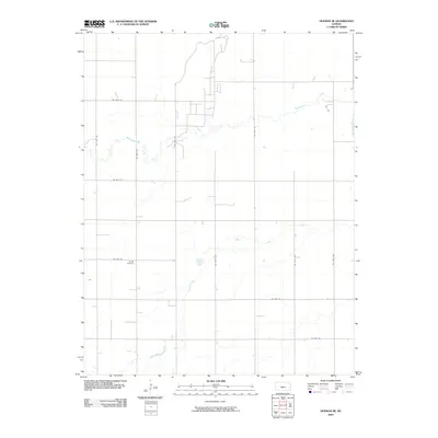
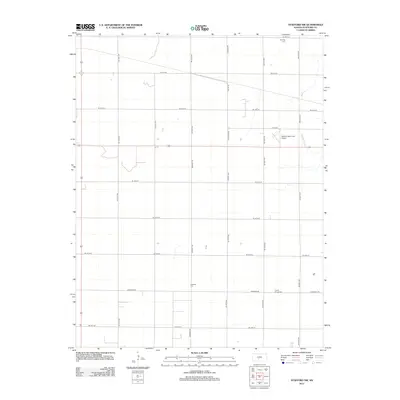
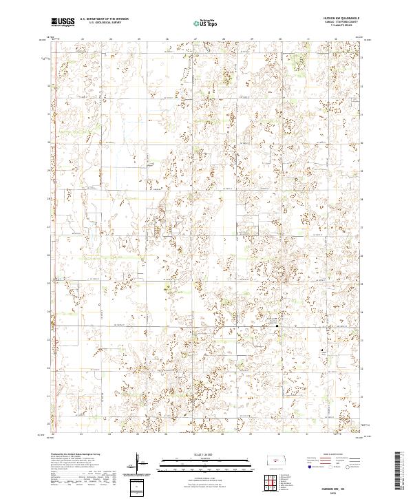
1970 Hudson NW
Stafford County, KS
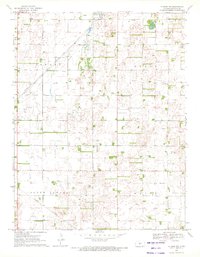
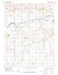
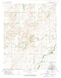
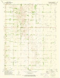
1971 Big Salt Marsh
Stafford County, KS
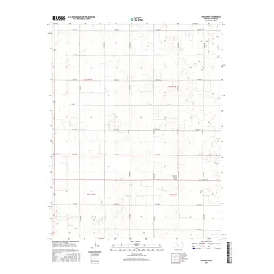
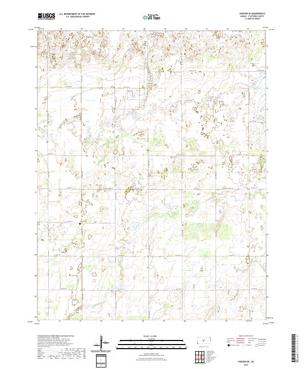
1971 Hudson SE
Stafford County, KS
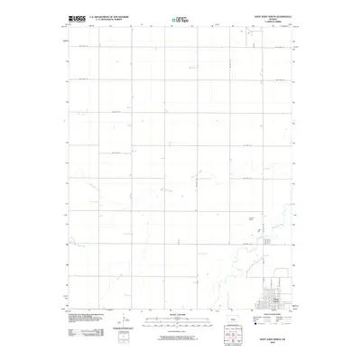
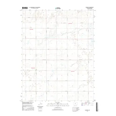
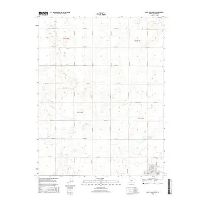
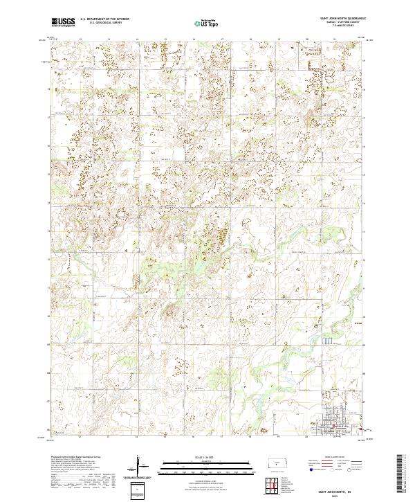
1972 Saint John North
Stafford County, KS
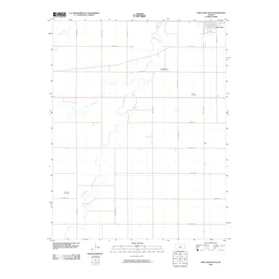
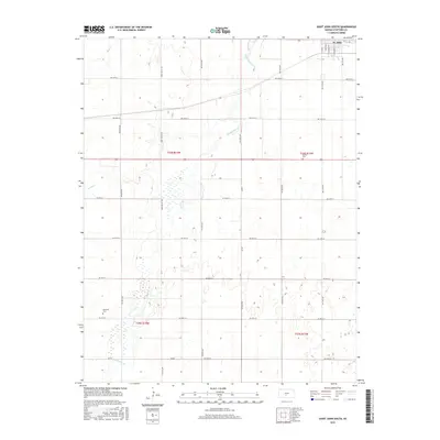
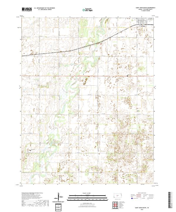
1972 Saint John South
Stafford County, KS
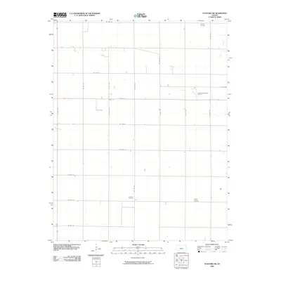
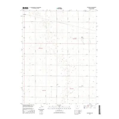
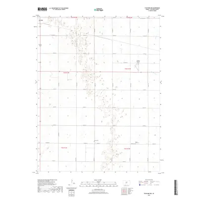
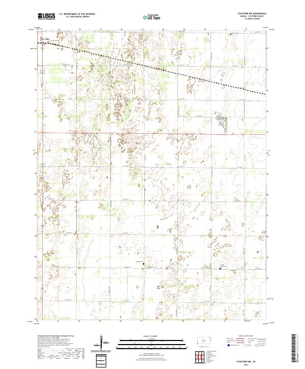
1972 Stafford NW
Stafford County, KS
2009 Big Salt Marsh
Stafford County, KS
2009 Hudson NW
Stafford County, KS
2009 Hudson SE
Stafford County, KS
2009 Saint John North
Stafford County, KS
2009 Saint John South
Stafford County, KS
2009 Stafford NW
Stafford County, KS
2012 Big Salt Marsh
Stafford County, KS
2012 Hudson NW
Stafford County, KS
2012 Hudson SE
Stafford County, KS

2012 Saint John North
Stafford County, KS
2012 Saint John South
Stafford County, KS
2012 Stafford NW
Stafford County, KS
2015 Big Salt Marsh
Stafford County, KS
2015 Hudson NW
Stafford County, KS
2015 Hudson SE
Stafford County, KS
2015 Saint John North
Stafford County, KS
2015 Saint John South
Stafford County, KS
2015 Stafford NW
Stafford County, KS
2018 Big Salt Marsh
Stafford County, KS
2018 Hudson NW
Stafford County, KS
2018 Hudson SE
Stafford County, KS
2018 Saint John North
Stafford County, KS
2018 Saint John South
Stafford County, KS
2018 Stafford NW
Stafford County, KS
2022 Big Salt Marsh
Stafford County, KS
2022 Hudson NW
Stafford County, KS
2022 Hudson SE
Stafford County, KS
2022 Saint John North
Stafford County, KS
2022 Saint John South
Stafford County, KS
2022 Stafford NW
Stafford County, KS