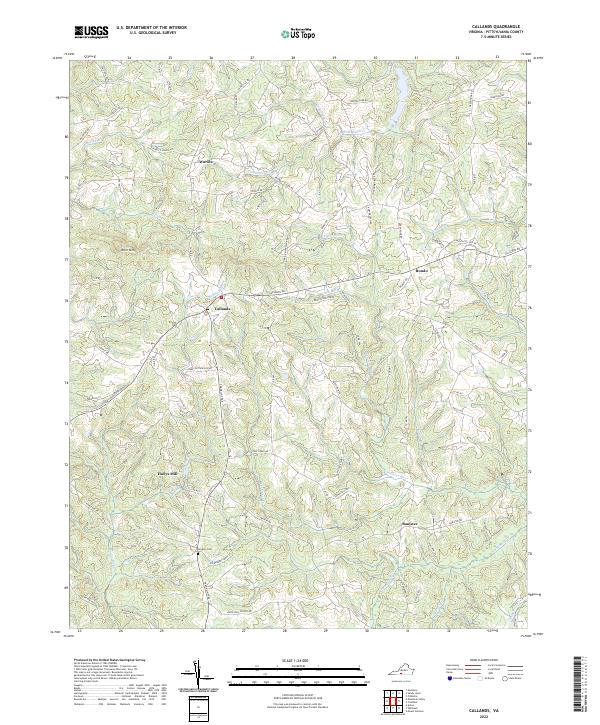
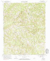
2022 Map of Callands
USGS Topo · Published 2022About this map
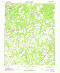
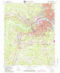
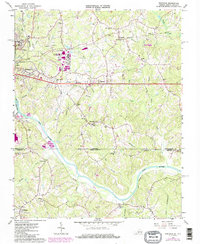
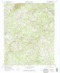
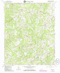
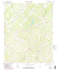
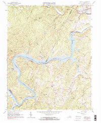
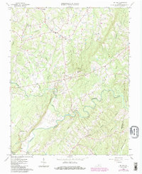
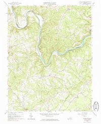
Sandy River and the Banister River carve through the Piedmont landscape of Pittsylvania County, where small agricultural crossroads and family landmarks define the rural character of the region. The settlement at Callands serves as a central point for the local road network, while smaller locales like Worlds, Rondo, and Banister are scattered across the winding creek valleys. This modern survey shows a landscape where historic land use persists, with the Gregory Cem and the naming of Hollys Mill reflecting generations of local habitation. The terrain is marked by significant drainage systems including Tomahawk Cr and Wet Sleeve Cr, which flow around high points such as Brier Mtn. The dense network of county roads, such as Triangle School Rd and Museville Rd, highlights how the rural community remains connected through its traditional geographic corridors.
Find a feature on this map
82 named features on this map. Tap any name to fly to it.
Don’t see what you’re looking for? This feature index may not catch every label — zoom into the map to look around manually.
Map Details
Editions of this 2022 Callands Map
This is the sole edition of this map. No revisions or reprints were ever made.
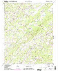
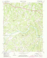
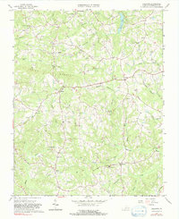
Historical Maps of Banister Through Time
36 maps found

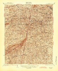
1922 Callands
Pittsylvania County, VA

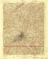
1923 Danville
Pittsylvania County, VA
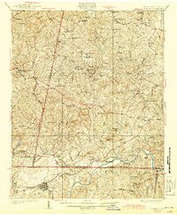
1924 Callands
Pittsylvania County, VA

1924 Draper
Pittsylvania County, VA
1925 Danville
Pittsylvania County, VA
1926 Draper
Pittsylvania County, VA

1944 Callands
Pittsylvania County, VA

1944 Draper
Pittsylvania County, VA
1964 Pittsville
Pittsylvania County, VA
1964 Spring Garden
Pittsylvania County, VA
1965 Brosville
Pittsylvania County, VA
1965 Callands
Pittsylvania County, VA
1965 Danville
Pittsylvania County, VA
1965 Ringgold
Pittsylvania County, VA
1965 Sandy Level
Pittsylvania County, VA
1965 Whitmell
Pittsylvania County, VA
1966 Java
Pittsylvania County, VA
1966 Leesville
Pittsylvania County, VA
1966 Mount Airy
Pittsylvania County, VA
1966 Straightstone
Pittsylvania County, VA
1968 Ingram
Pittsylvania County, VA
1977 Brosville
Pittsylvania County, VA

1984 Danville
Pittsylvania County, VA
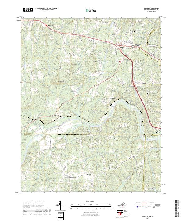
2022 Brosville
Pittsylvania County, VA
2022 Callands
Pittsylvania County, VA
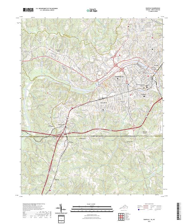
2022 Danville
Pittsylvania County, VA
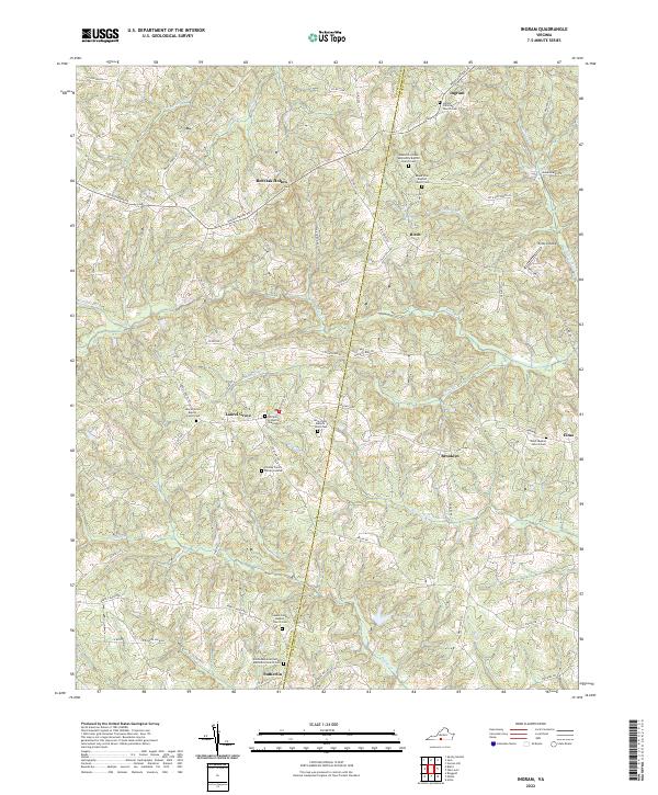
2022 Ingram
Pittsylvania County, VA
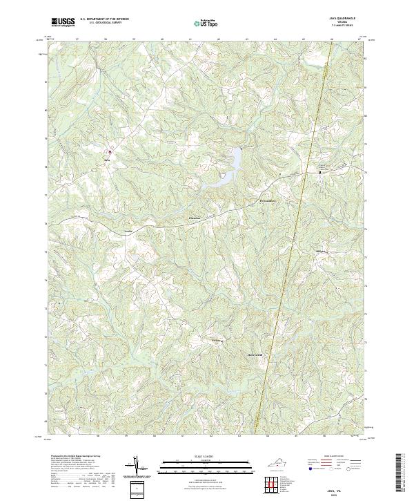
2022 Java
Pittsylvania County, VA
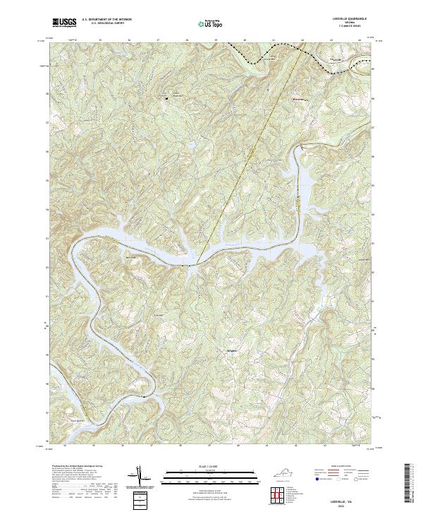
2022 Leesville
Pittsylvania County, VA
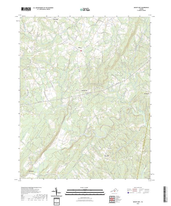
2022 Mount Airy
Pittsylvania County, VA
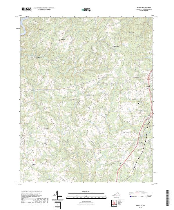
2022 Pittsville
Pittsylvania County, VA
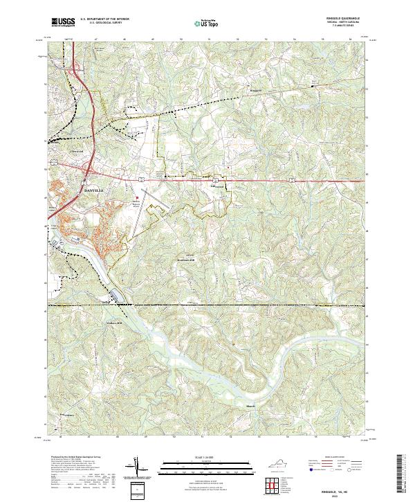
2022 Ringgold
Pittsylvania County, VA
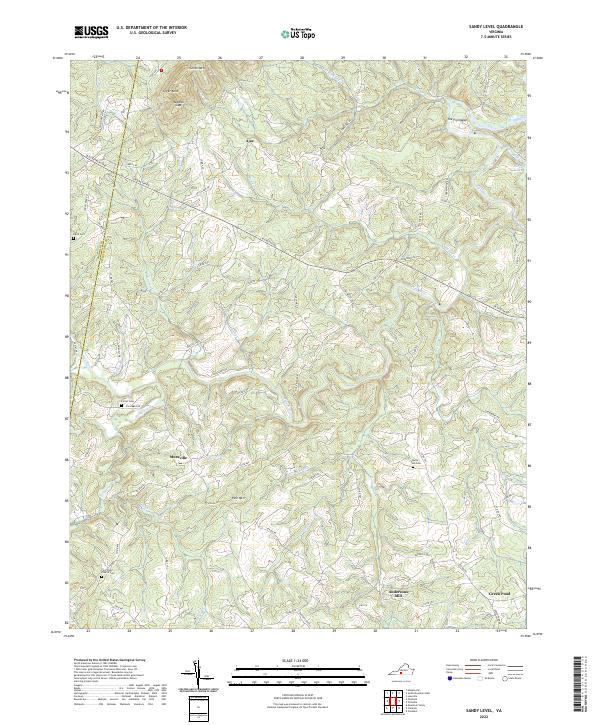
2022 Sandy Level
Pittsylvania County, VA
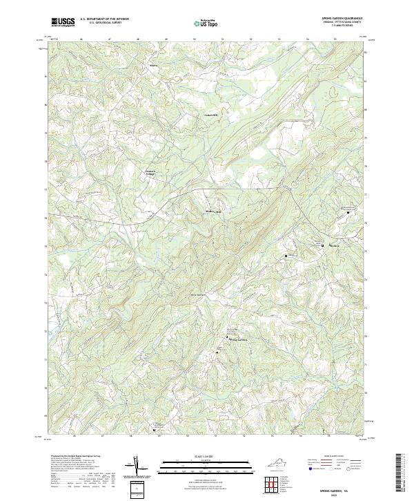
2022 Spring Garden
Pittsylvania County, VA
2022 Straightstone
Pittsylvania County, VA

2022 Whitmell
Pittsylvania County, VA