2022 Map of Castle Peak
USGS Topo · Published 2022About this map
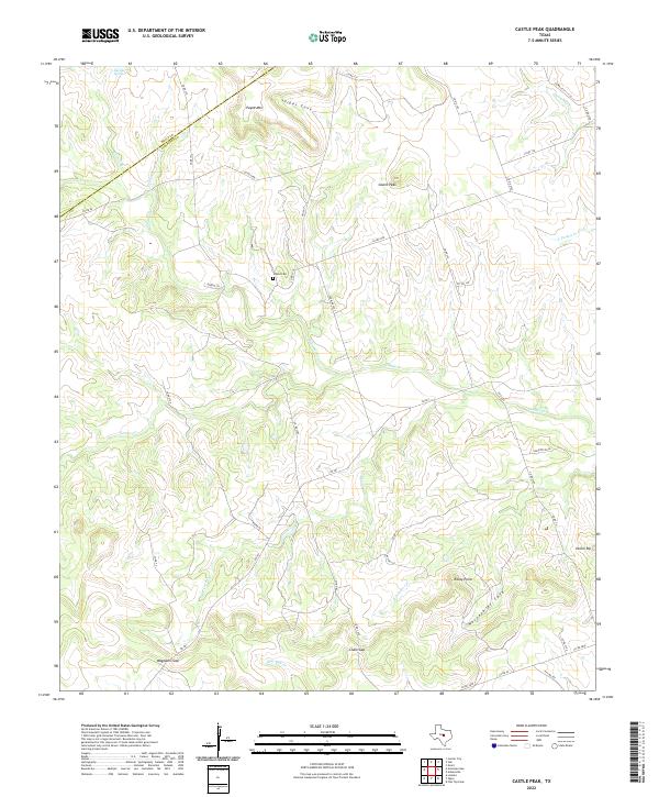
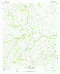
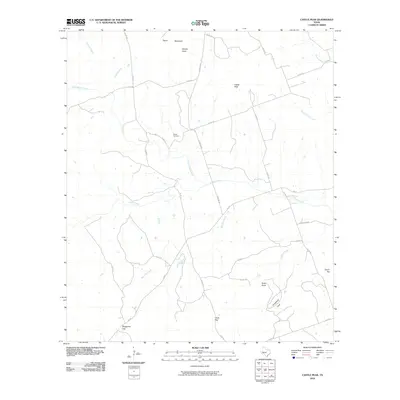
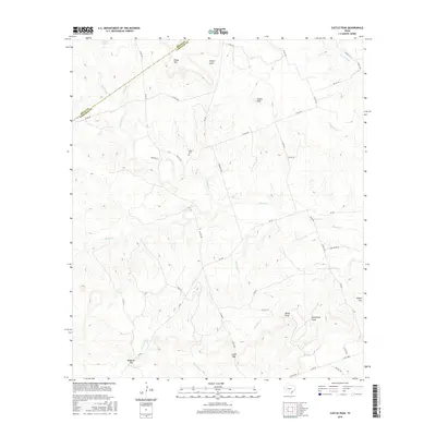
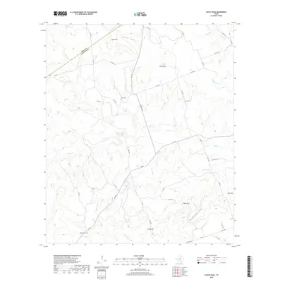
Castle Peak rises as a prominent landmark in this stretch of central Texas, where the terrain is carved by the drainages of Simms Cr and Kinchelo Cr. The landscape is defined by its dramatic topography, featuring deep depressions like Snipes Cove and Horsethief Cove alongside elevated points such as Payne Mtn and Onion Top. This area, straddling the boundary of Mills and Lampasas counties, reflects a pastoral economy connected by a network of rural roads including FM 581 and numerous county routes. For those tracing family history or local land use, the O'Neal Cem sits near the center of the map, while geological transitions are marked by named passes like Waggoner Gap and Chalk Gap. The drainage patterns of Bee Cave Cr and Blue Dog Cr reveal the intricate watershed that has shaped the ranching and settlement history of this Texas upland.
Find a feature on this map
50 named features on this map. Tap any name to fly to it.
Don’t see what you’re looking for? This feature index may not catch every label — zoom into the map to look around manually.
Map Details
Editions of this 2022 Castle Peak Map
This is the sole edition of this map. No revisions or reprints were ever made.
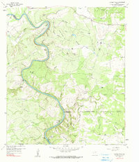
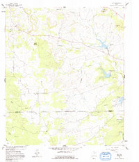
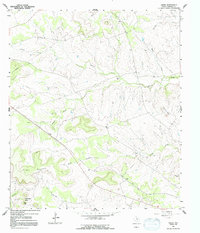
Historical Maps of Mills County Through Time
42 maps found
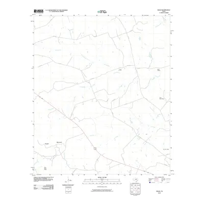
1954 Adamsville
Lampasas County, TX
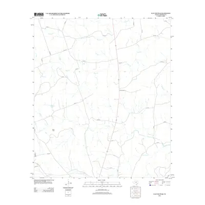
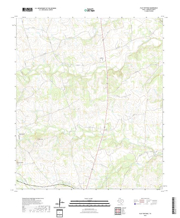
1954 Flat Top Peak
Lampasas County, TX
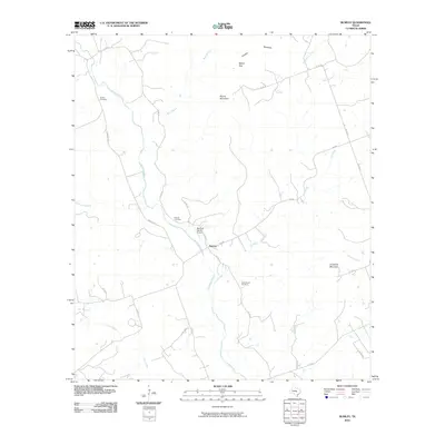
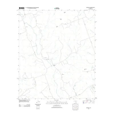
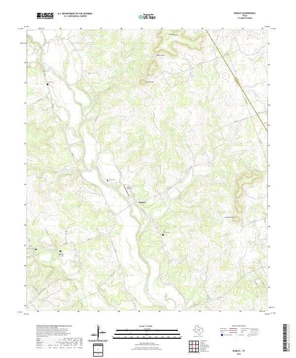
1954 Rumley
Lampasas County, TX
1959 Castle Peak
Lampasas County, TX
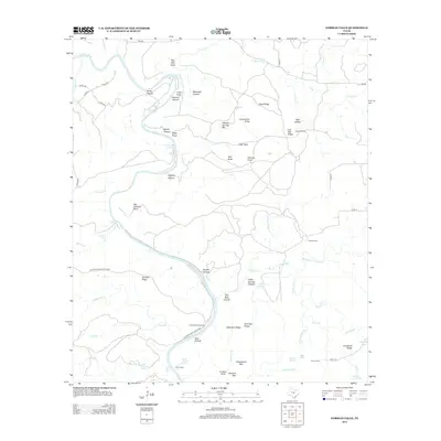
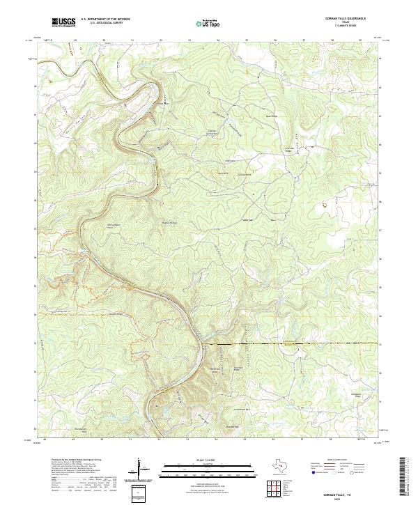
1959 Gorman Falls
Lampasas County, TX
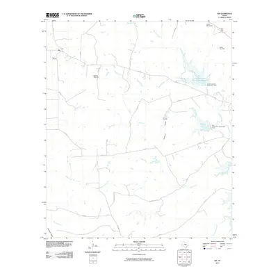
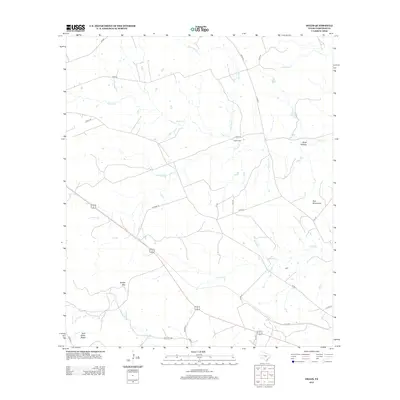
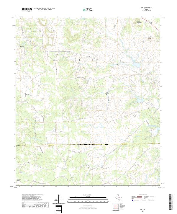
1959 Nix
Lampasas County, TX
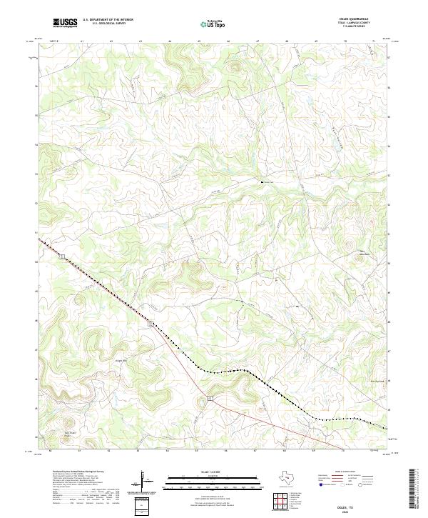
1959 Ogles
Lampasas County, TX
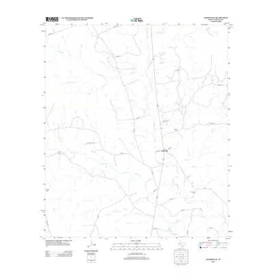
2010 Adamsville
Lampasas County, TX
2010 Castle Peak
Lampasas County, TX
2010 Flat Top Peak
Lampasas County, TX
2010 Gorman Falls
Lampasas County, TX
2010 Nix
Lampasas County, TX
2010 Ogles
Lampasas County, TX
2010 Rumley
Lampasas County, TX
2012 Adamsville
Lampasas County, TX

2012 Castle Peak
Lampasas County, TX
2012 Flat Top Peak
Lampasas County, TX
2012 Ogles
Lampasas County, TX
2012 Rumley
Lampasas County, TX
2013 Gorman Falls
Lampasas County, TX
2014 Nix
Lampasas County, TX
2016 Adamsville
Lampasas County, TX
2016 Castle Peak
Lampasas County, TX
2016 Flat Top Peak
Lampasas County, TX
2016 Gorman Falls
Lampasas County, TX
2016 Nix
Lampasas County, TX
2016 Ogles
Lampasas County, TX
2016 Rumley
Lampasas County, TX
2019 Adamsville
Lampasas County, TX
2019 Castle Peak
Lampasas County, TX
2019 Flat Top Peak
Lampasas County, TX
2019 Gorman Falls
Lampasas County, TX
2019 Nix
Lampasas County, TX
2019 Ogles
Lampasas County, TX
2019 Rumley
Lampasas County, TX
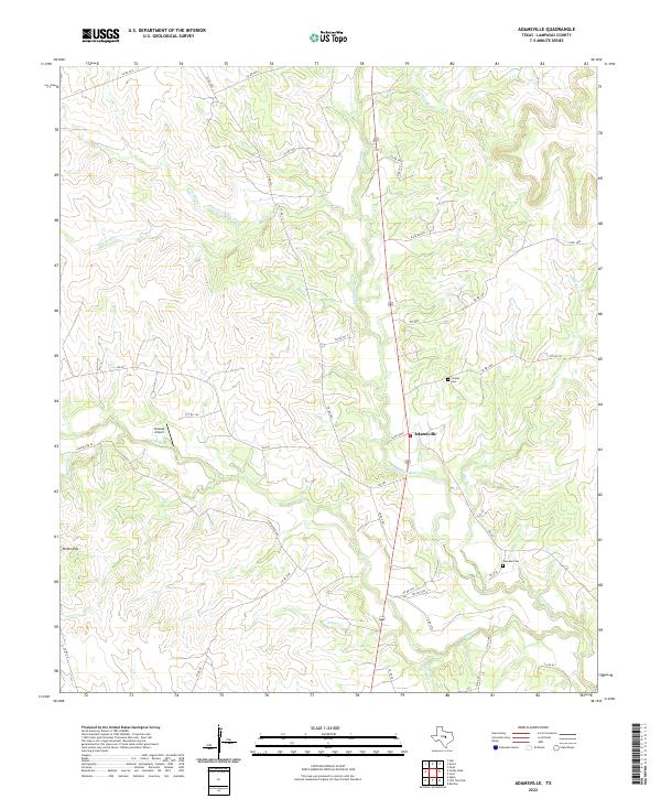
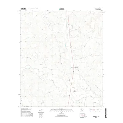
2022 Adamsville
Lampasas County, TX
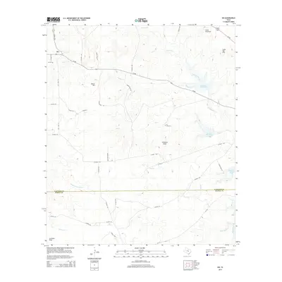
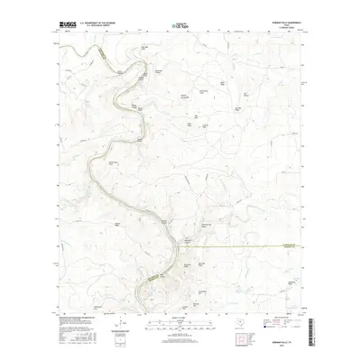
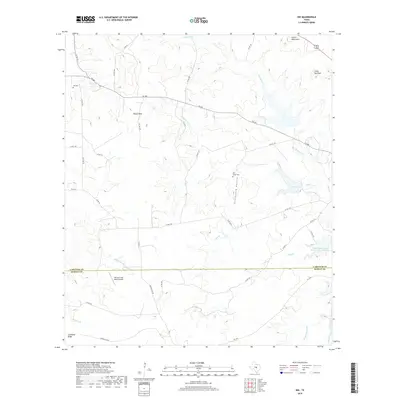
2022 Castle Peak
Lampasas County, TX
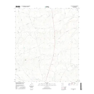
2022 Flat Top Peak
Lampasas County, TX
2022 Gorman Falls
Lampasas County, TX
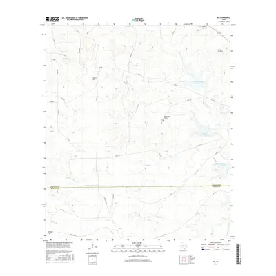
2022 Nix
Lampasas County, TX
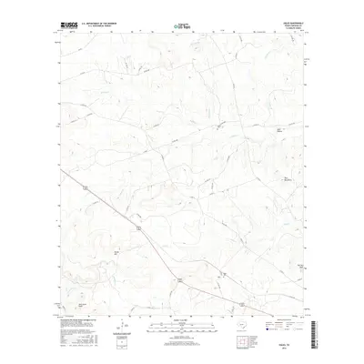
2022 Ogles
Lampasas County, TX
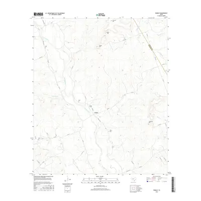
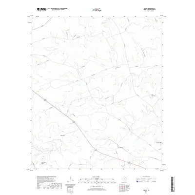
2022 Rumley
Lampasas County, TX