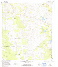
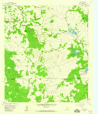
1959 Map of Nix
USGS Topo · Published 1992About this map
Nix and the surrounding Hill Country of Central Texas appear here as they were documented in the late 1950s. The landscape is defined by its water management and sparse upland settlements, characterized by several artificial reservoirs including Reservoir No 1 and Reservoir No 2 on Donalson Creek. These water features sit amidst a rugged topography of named heights such as Waters Mountain and Carter Mountains, with Graveyard Hollow cutting through the center of the sheet. Local life is anchored by traditional landmarks like McCreaville Ch and the Nix Cem, which provide essential points of reference for genealogists tracing families in this portion of the county. The transition between Lampasas and Burnet Counties is marked by an Approximate Boundary, while the presence of a Quarry and various branches like Mc Crea Branch reflect the rural economy and natural drainage of the Middle Fork Yancy Creek system.
Find a feature on this map
28 named features on this map. Tap any name to fly to it.
Don’t see what you’re looking for? This feature index may not catch every label — zoom into the map to look around manually.
Map Details
Editions of this 1959 Nix Map
2 editions found
Other maps of this area

1887 · Lampasas
USGS Topo · 1:125,000

1887 · Burnet
USGS Topo · 1:125,000

1893 · Burnet
USGS Topo · 1:125,000

1894 · Lampasas
USGS Topo · 1:125,000

1903 · Burnet
USGS Topo · 1:125,000

1909 · Burnet
USGS Topo · 1:125,000

1932 · Tow
USGS Topo · 1:62,500

1954 · Brownwood
USGS Topo · 1:250,000

1954 · Lampasas
USGS Topo · 1:62,500

1954 · Lampasas
USGS Topo · 1:24,000