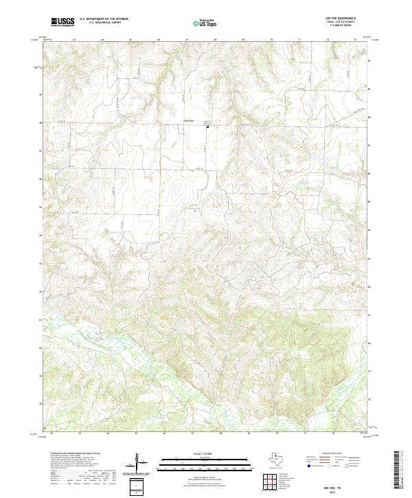
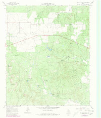
2022 Map of Cee Vee
USGS Topo · Published 2022This historical map portrays the area of Cee Vee in 2022, primarily covering Cottle County. Featuring a scale of 1:24000, this map provides a highly detailed snapshot of the terrain, roads, buildings, counties, and historical landmarks in the Cee Vee region at the time. Published in 2022, it is the sole known edition of this map.
Map Details
Editions of this 2022 Cee Vee Map
This is the sole edition of this map. No revisions or reprints were ever made.
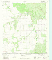
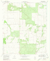
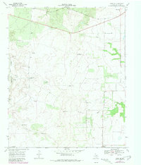
Historical Maps of Cee Vee Through Time
24 maps found
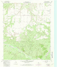
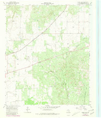
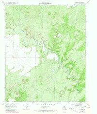
1966 Cee Vee
Cottle County, TX
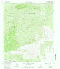
1966 Devils Canyon
Cottle County, TX
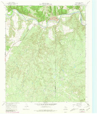
1967 Baker
Cottle County, TX
1967 Dunlap
Cottle County, TX
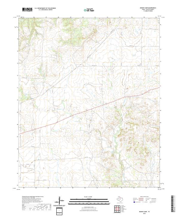
1967 Moons Camp
Cottle County, TX
1967 Swearingen
Cottle County, TX
1967 Tell South
Cottle County, TX
1967 Triangle Ranch
Cottle County, TX
1968 Chalk
Cottle County, TX
1968 Ginsite
Cottle County, TX
1968 Grow NW
Cottle County, TX
1968 Y Ranch
Cottle County, TX
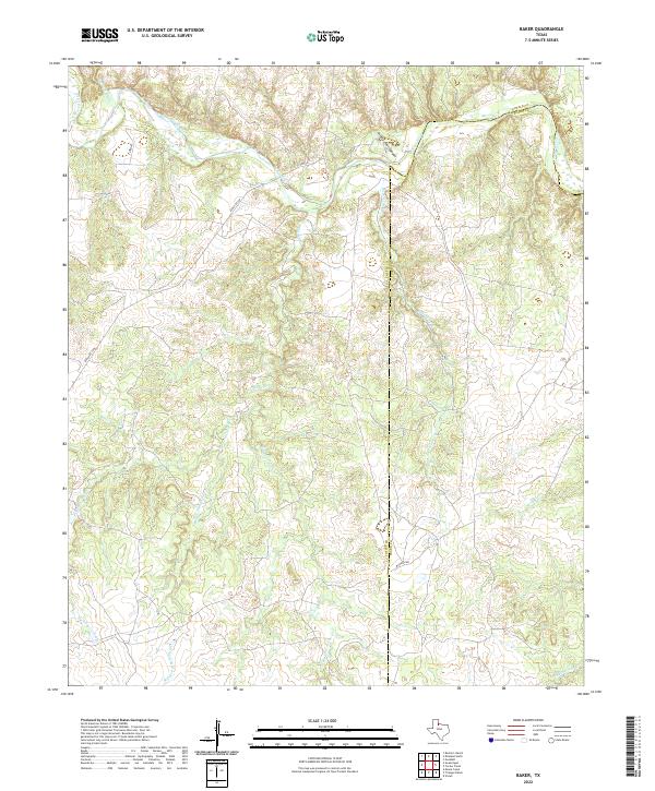
2022 Baker
Cottle County, TX
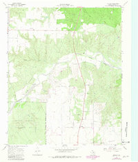
2022 Cee Vee
Cottle County, TX
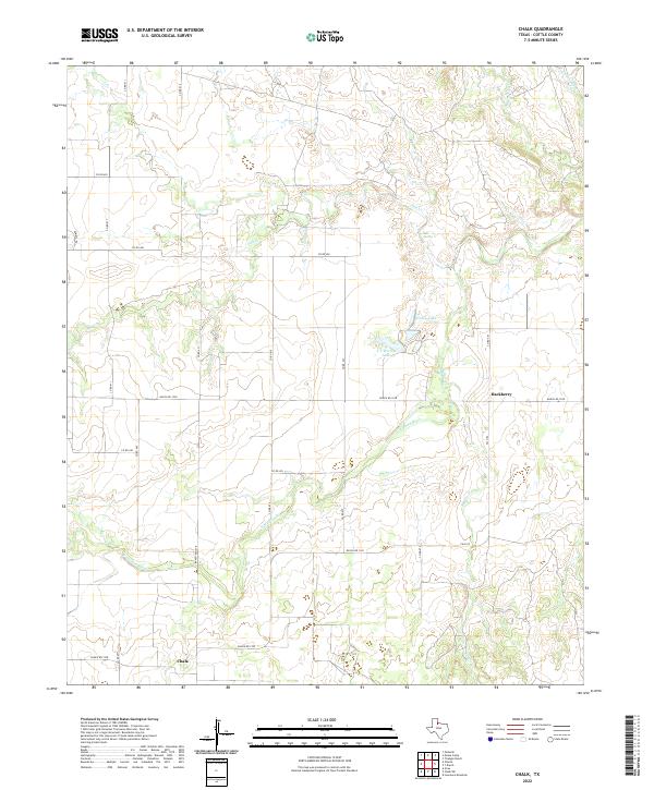
2022 Chalk
Cottle County, TX
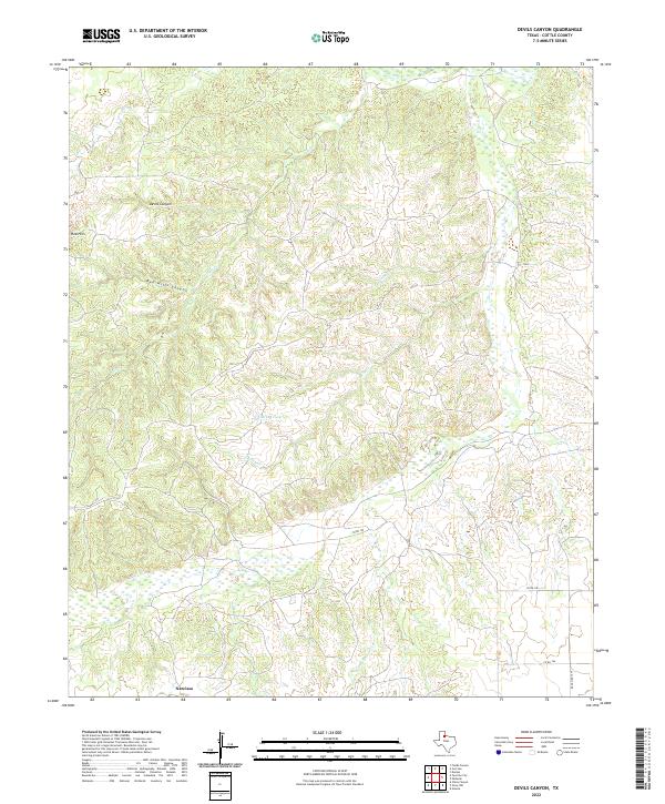
2022 Devils Canyon
Cottle County, TX
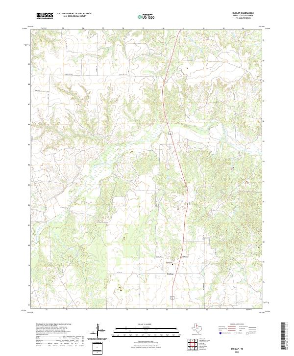
2022 Dunlap
Cottle County, TX
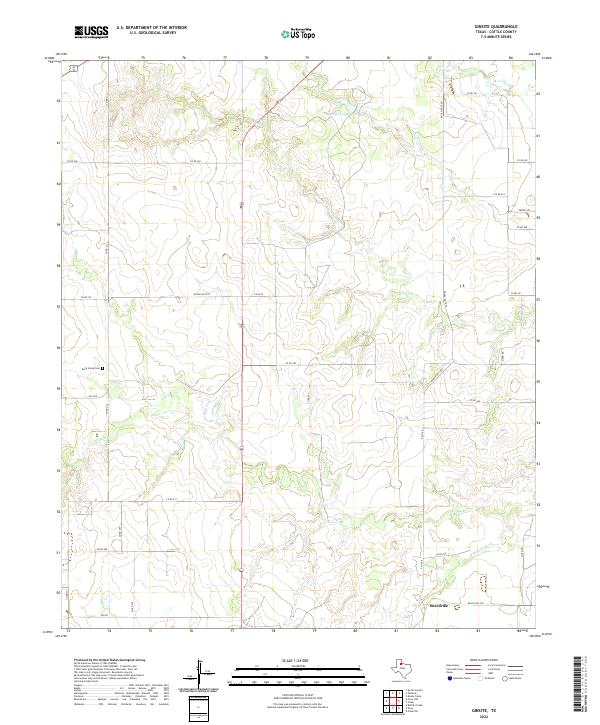
2022 Ginsite
Cottle County, TX
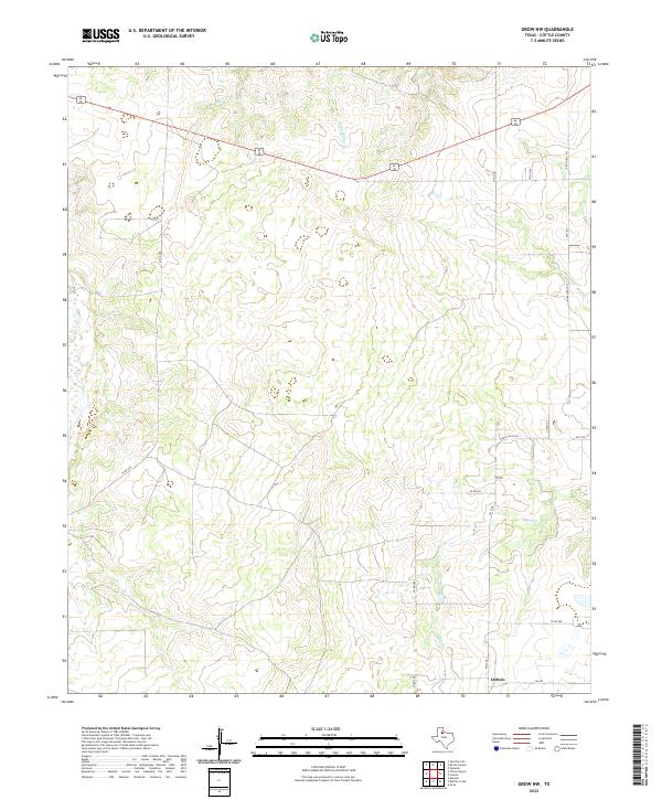
2022 Grow NW
Cottle County, TX
2022 Moons Camp
Cottle County, TX
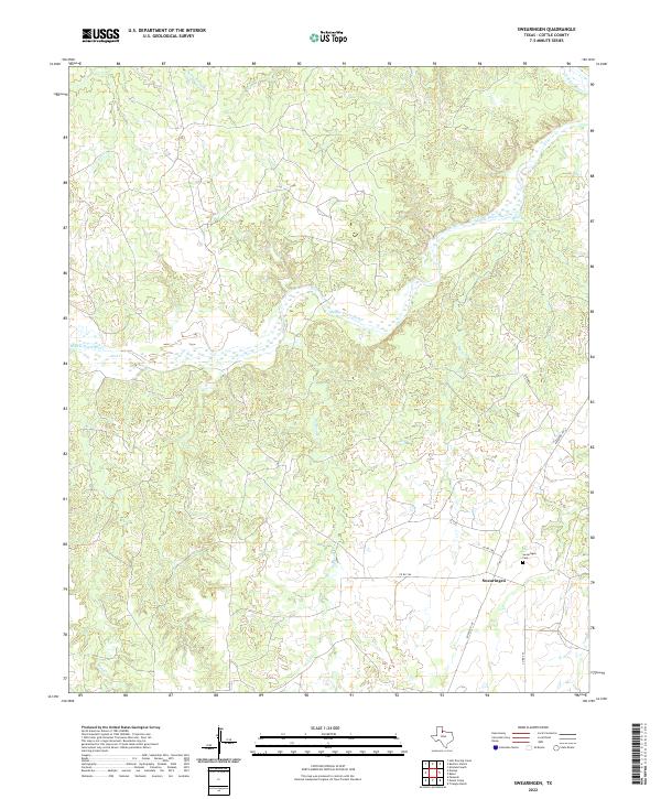
2022 Swearingen
Cottle County, TX
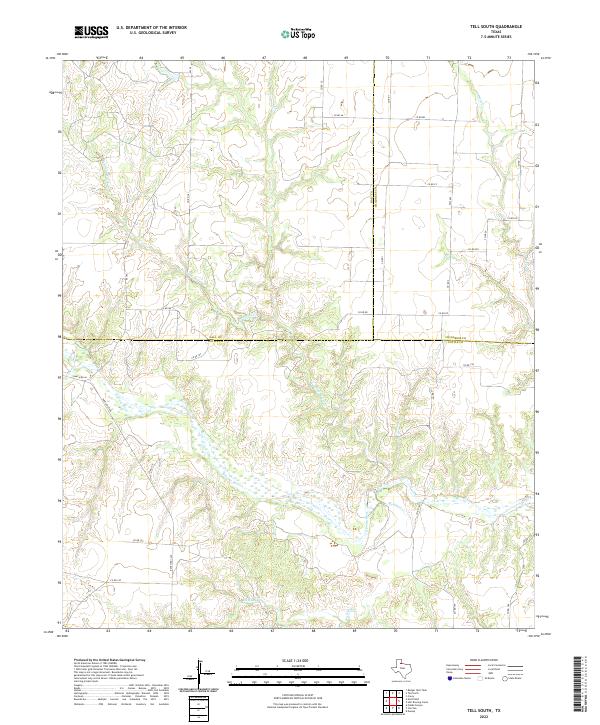
2022 Tell South
Cottle County, TX
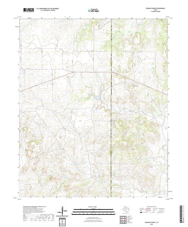
2022 Triangle Ranch
Cottle County, TX
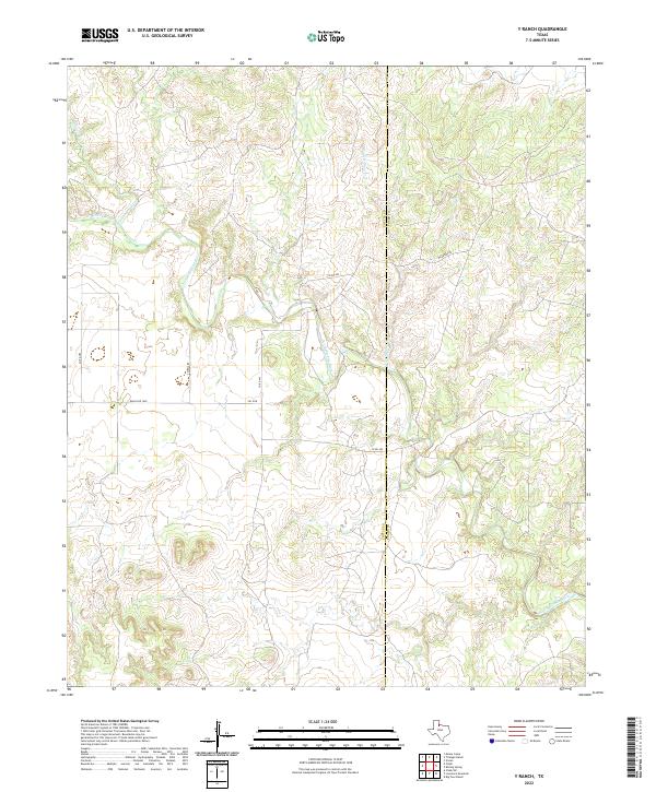
2022 Y Ranch
Cottle County, TX