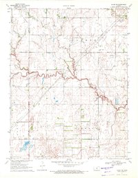
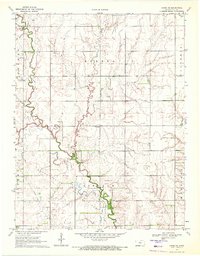
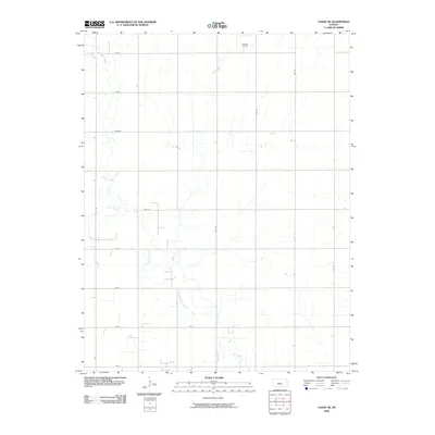
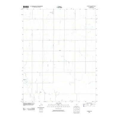
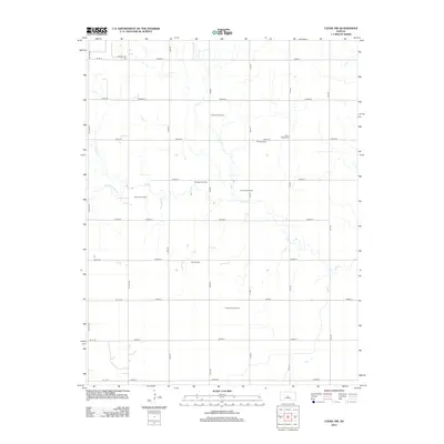
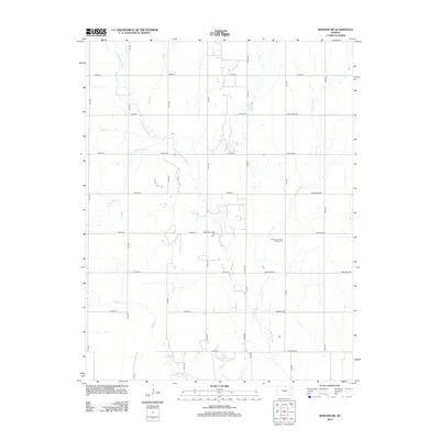
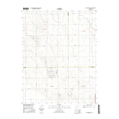
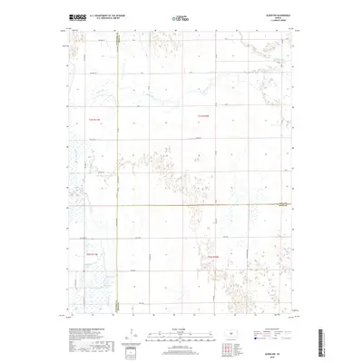
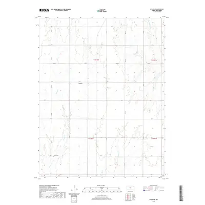
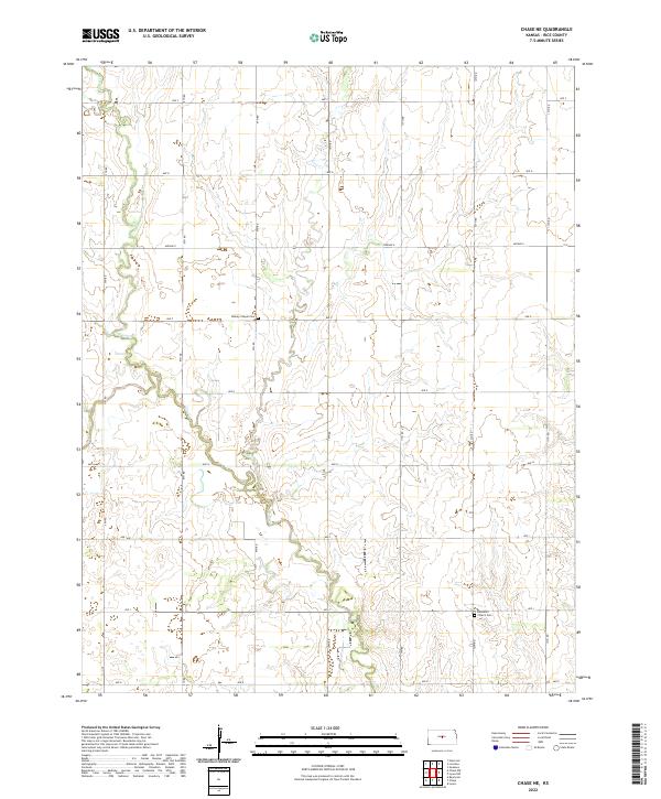
1970 Map of Chase NW
USGS Topo · Published 1972About this map
The Barton Co Rice Co boundary line bisects a landscape defined by intensive energy extraction in the early 1970s. This agricultural and industrial region is dominated by an expansive network of petroleum infrastructure, most notably the Chase Silica Oil Field and the North West Oil Field. The sinuous path of Cow Creek and its tributaries, such as Little Cheyenne Creek, winds through the terrain, occasionally interrupted by the Mary Ida Oil Field.
Find a feature on this map
16 named features on this map. Tap any name to fly to it.
Don’t see what you’re looking for? This feature index may not catch every label — zoom into the map to look around manually.
Map Details
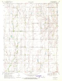
Editions of this 1970 Chase NW Map
This is the sole edition of this map. No revisions or reprints were ever made.
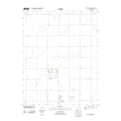
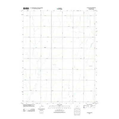
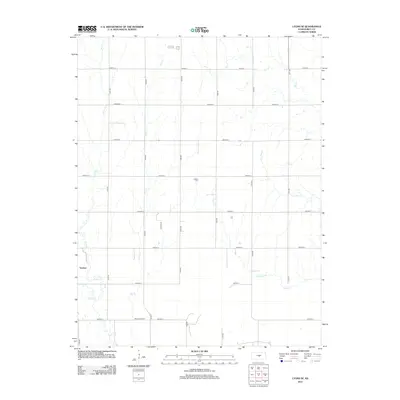
Historical Maps of Barton County Through Time
42 maps found
1964 Windom SW
Rice County, KS
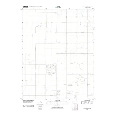
1965 Hutchinson NW
Rice County, KS
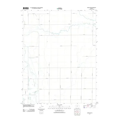
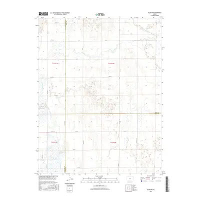
1967 Alden NW
Rice County, KS
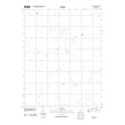
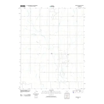
1970 Chase NE
Rice County, KS
1970 Chase NW
Rice County, KS
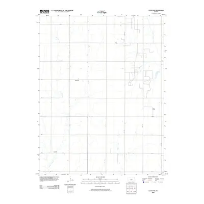
1970 Lyons NW
Rice County, KS
1970 Lyons SE
Rice County, KS
2009 Alden NW
Rice County, KS
2009 Chase NE
Rice County, KS
2009 Chase NW
Rice County, KS
2009 Hutchinson NW
Rice County, KS
2009 Lyons NW
Rice County, KS
2009 Lyons SE
Rice County, KS
2009 Windom SW
Rice County, KS
2012 Alden NW
Rice County, KS
2012 Chase NE
Rice County, KS
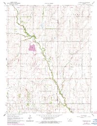
2012 Chase NW
Rice County, KS
2012 Hutchinson NW
Rice County, KS
2012 Lyons NW
Rice County, KS
2012 Lyons SE
Rice County, KS
2012 Windom SW
Rice County, KS
2015 Alden NW
Rice County, KS
2015 Chase NE
Rice County, KS
2015 Chase NW
Rice County, KS
2015 Hutchinson NW
Rice County, KS
2015 Lyons NW
Rice County, KS
2015 Lyons SE
Rice County, KS
2015 Windom SW
Rice County, KS
2018 Alden NW
Rice County, KS
2018 Chase NE
Rice County, KS
2018 Chase NW
Rice County, KS
2018 Hutchinson NW
Rice County, KS
2018 Lyons NW
Rice County, KS
2018 Lyons SE
Rice County, KS
2018 Windom SW
Rice County, KS
2022 Alden NW
Rice County, KS
2022 Chase NE
Rice County, KS
2022 Chase NW
Rice County, KS
2022 Hutchinson NW
Rice County, KS
2022 Lyons NW
Rice County, KS
2022 Lyons SE
Rice County, KS
2022 Windom SW
Rice County, KS