
2023 Map of Edmeston
USGS Topo · Published 2023About this map
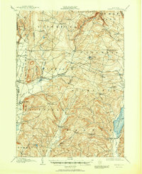
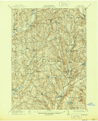
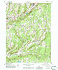
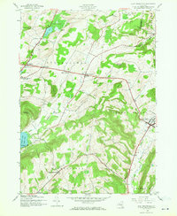
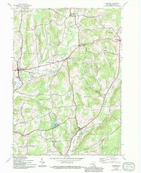
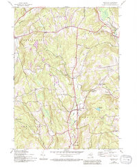
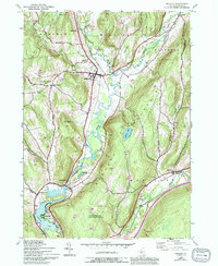
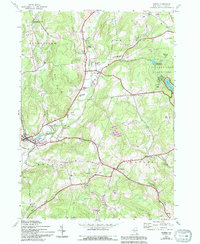
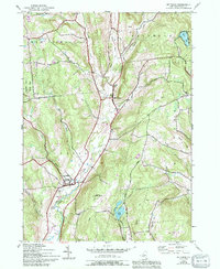
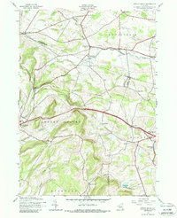
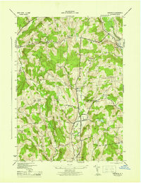
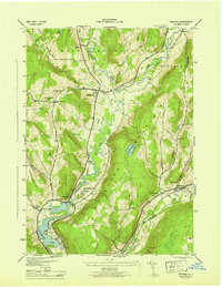
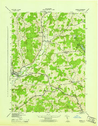
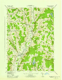
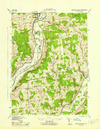
Wharton Creek and Butternut Creek carve paths through the Otsego County landscape, defining the rural settlement patterns around Edmeston and Garrattsville. This modern survey reveals a countryside still anchored by its historical hamlets, where family and community roots are traceable through numerous burial grounds like Burlington Flats Cem, Quaker Cem, and Jennings Cem. Small crossroads like Robinson Corners and Barrett Corners persist alongside natural landmarks such as Wooley Hill and Crystal Lake. The presence of the Suntime Airport near Rice Hill illustrates the integration of modern light aviation into a landscape otherwise characterized by traditional dairy-country topography and winding local routes like Taylor Hill Rd.
Find a feature on this map
103 named features on this map. Tap any name to fly to it.
Don’t see what you’re looking for? This feature index may not catch every label — zoom into the map to look around manually.
Map Details
Editions of this 2023 Edmeston Map
This is the sole edition of this map. No revisions or reprints were ever made.
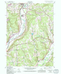
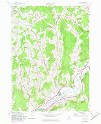
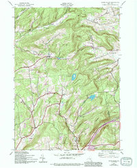
Historical Maps of Edmeston Through Time
37 maps found
1907 Winfield
Otsego County, NY

1910 Hartwick
Otsego County, NY
1912 Hartwick
Otsego County, NY
1943 Charlotteville
Otsego County, NY
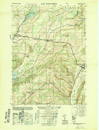
1943 East Springfield
Otsego County, NY
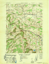
1943 Edmeston
Otsego County, NY
1943 Hartwick
Otsego County, NY
1943 Milford
Otsego County, NY
1943 Morris
Otsego County, NY
1943 Mt Vision
Otsego County, NY
1943 New Berlin South
Otsego County, NY
1943 Otego
Otsego County, NY
1943 South Valley
Otsego County, NY
1943 Sprout Brook
Otsego County, NY
1945 Charlotteville
Otsego County, NY
1945 East Springfield
Otsego County, NY
1945 Edmeston
Otsego County, NY
1945 Hartwick
Otsego County, NY
1945 Milford
Otsego County, NY
1945 Morris
Otsego County, NY
1945 Mt Vision
Otsego County, NY
1945 New Berlin South
Otsego County, NY
1945 Otego
Otsego County, NY
1945 South Valley
Otsego County, NY
1945 Sprout Brook
Otsego County, NY
1947 Sprout Brook
Otsego County, NY
1949 East Springfield
Otsego County, NY

2023 Charlotteville
Otsego County, NY

2023 East Springfield
Otsego County, NY
2023 Edmeston
Otsego County, NY

2023 Hartwick
Otsego County, NY

2023 Milford
Otsego County, NY

2023 Morris
Otsego County, NY
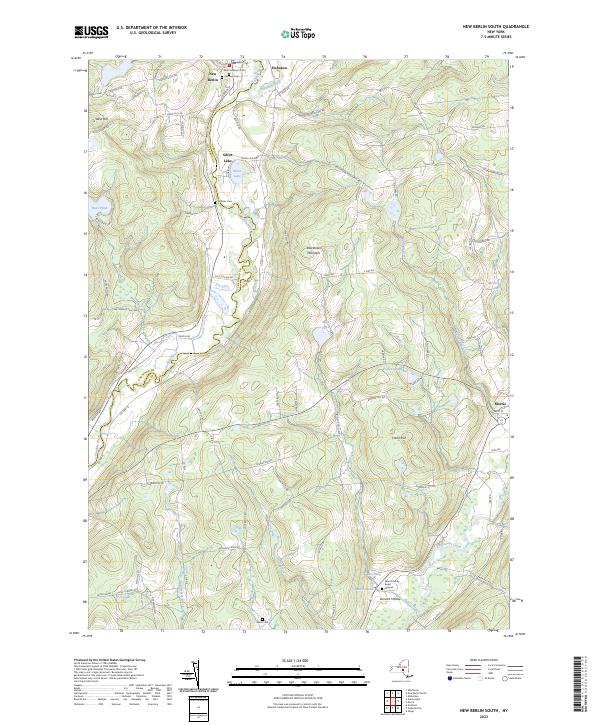
2023 New Berlin South
Otsego County, NY

2023 Otego
Otsego County, NY

2023 South Valley
Otsego County, NY

2023 Sprout Brook
Otsego County, NY