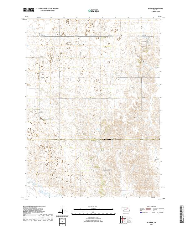
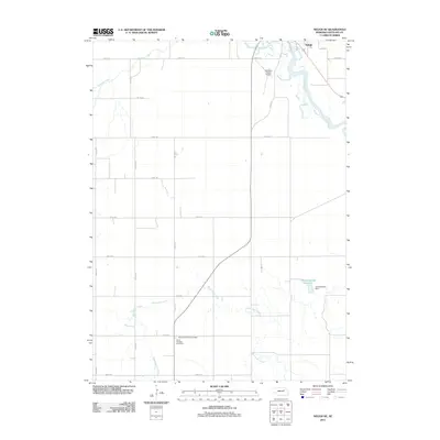
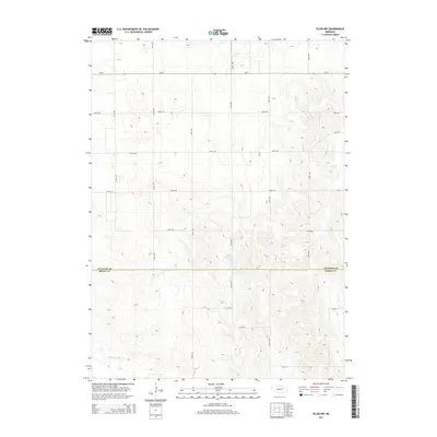
2021 Map of Elgin NW
USGS Topo · Published 2021About this map
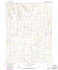
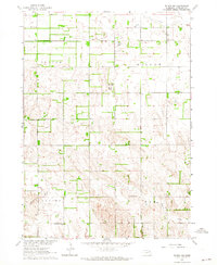
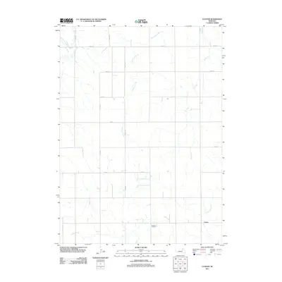
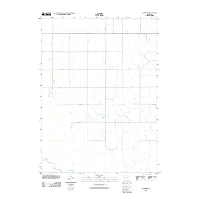
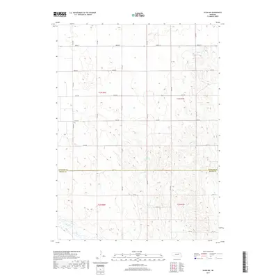
Antelope and Boone Counties meet in this agricultural landscape of the Nebraska sandhills region. The map captures a moment of modern land use defined by the township and range survey system, visible in the precise grid of section lines and county roads such as North St and 190th Ave. Water management is central to this prairie environment, anchored by the Stoltz Reservoir in the central portion of the sheet. Natural drainage is primarily defined by the winding paths of Beaver Creek in the southwest and Rae Cr in the southeast. This survey provides a clear view of the rural infrastructure and water resources that sustain the region's farming and ranching operations, showing how the land has been partitioned and developed since the original homesteading era.
Find a feature on this map
27 named features on this map. Tap any name to fly to it.
Don’t see what you’re looking for? This feature index may not catch every label — zoom into the map to look around manually.
Map Details
Editions of this 2021 Elgin NW Map
This is the sole edition of this map. No revisions or reprints were ever made.
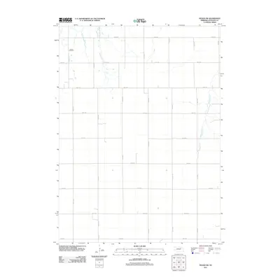
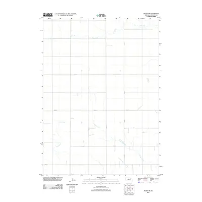
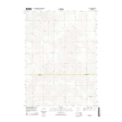
Historical Maps of Boone County Through Time
25 maps found
1963 Closter
Antelope County, NE
1963 Elgin NW
Antelope County, NE
1963 Neligh SE
Antelope County, NE
1963 Neligh SW
Antelope County, NE
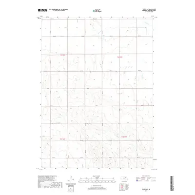
1963 Tilden NW
Antelope County, NE
2011 Closter
Antelope County, NE
2011 Elgin NW
Antelope County, NE
2011 Neligh SE
Antelope County, NE
2011 Neligh SW
Antelope County, NE
2011 Tilden NW
Antelope County, NE
2014 Closter
Antelope County, NE
2014 Elgin NW
Antelope County, NE
2014 Neligh SE
Antelope County, NE
2014 Neligh SW
Antelope County, NE
2014 Tilden NW
Antelope County, NE
2017 Closter
Antelope County, NE
2017 Elgin NW
Antelope County, NE
2017 Neligh SE
Antelope County, NE
2017 Neligh SW
Antelope County, NE
2017 Tilden NW
Antelope County, NE
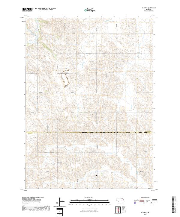
2021 Closter
Antelope County, NE
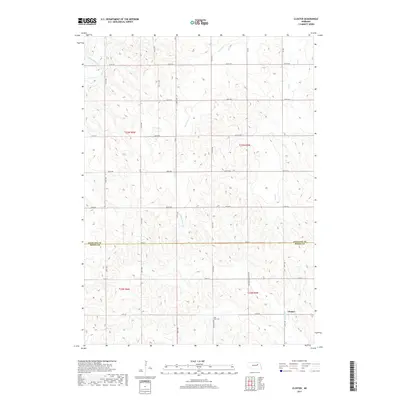
2021 Elgin NW
Antelope County, NE
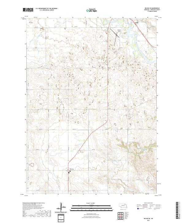
2021 Neligh SE
Antelope County, NE
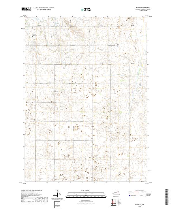
2021 Neligh SW
Antelope County, NE
2021 Tilden NW
Antelope County, NE