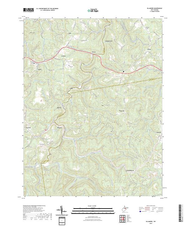
2023 Map of Ellamore
USGS Topo · Published 2023About this map
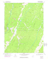
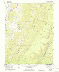
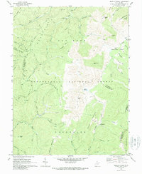
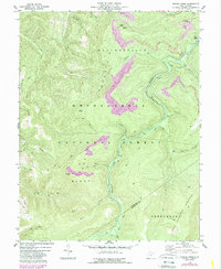
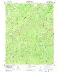
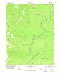
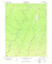
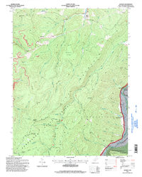
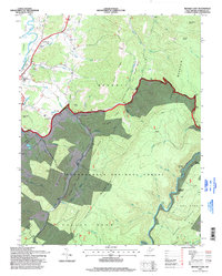
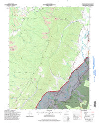
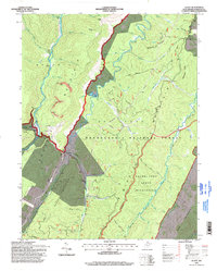
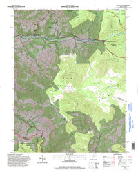
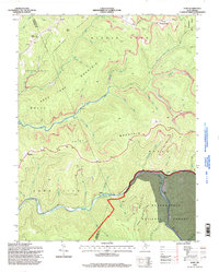
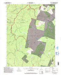
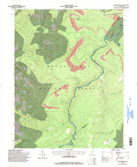
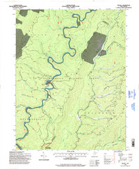
The Middle Fork River carves through this upland region on the border of Randolph, Upshur, and Barbour counties, anchoring a network of small settlements and family landmarks. The community of Ellamore serves as a central point, notable for the Ellamore School and the nearby Ellamore School Spring. Historically significant sites like Finegan Ford on the river and the Vegan-Mt Zion Church highlight the rural development of the area, while family names are preserved at the Mount Zion Cem and Durrett Cem.
Find a feature on this map
109 named features on this map. Tap any name to fly to it.
Don’t see what you’re looking for? This feature index may not catch every label — zoom into the map to look around manually.
Map Details
Editions of this 2023 Ellamore Map
This is the sole edition of this map. No revisions or reprints were ever made.
Historical Maps of Nebo Through Time
34 maps found
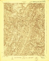
1922 Horton
Randolph County, WV
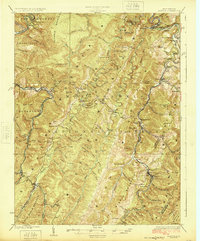
1924 Horton
Randolph County, WV
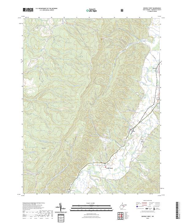
1968 Beverly West
Randolph County, WV
1968 Glady
Randolph County, WV
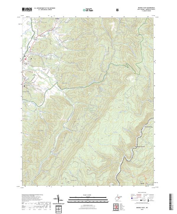
1969 Beverly East
Randolph County, WV
1969 Laneville
Randolph County, WV
1970 Sinks Of Gandy
Randolph County, WV
1974 Snyder Knob
Randolph County, WV
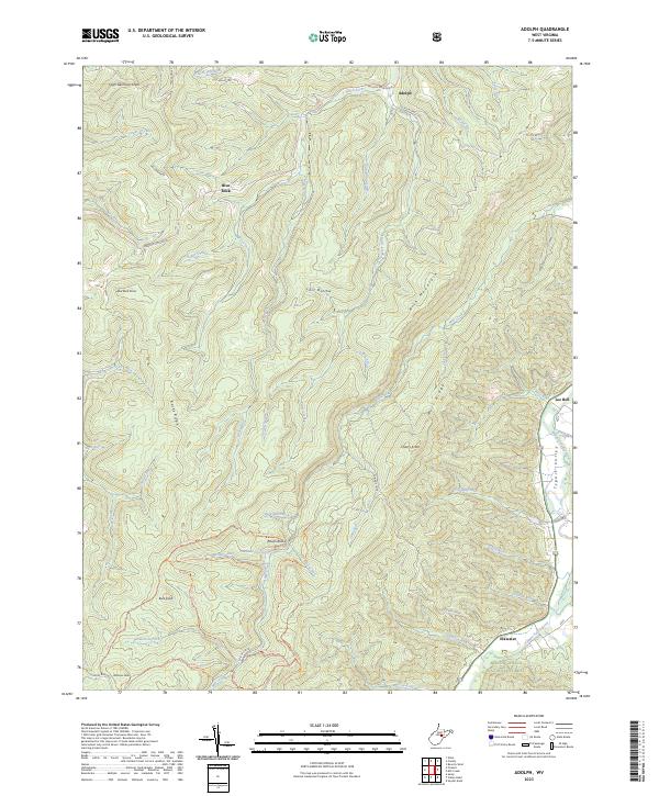
1977 Adolph
Randolph County, WV
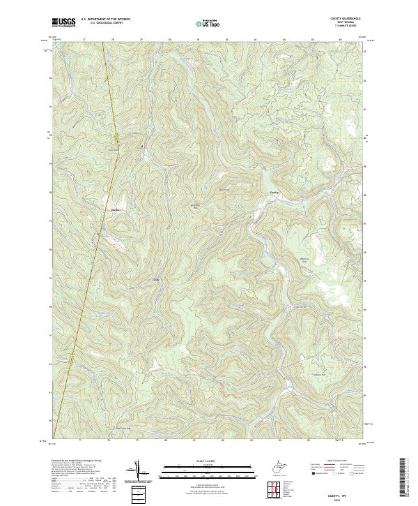
1977 Cassity
Randolph County, WV
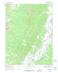
1977 Ellamore
Randolph County, WV
1977 Samp
Randolph County, WV
1977 Snyder Knob
Randolph County, WV
1977 Wildell
Randolph County, WV
1995 Adolph
Randolph County, WV
1995 Beverly East
Randolph County, WV
1995 Beverly West
Randolph County, WV
1995 Glady
Randolph County, WV
1995 Laneville
Randolph County, WV
1995 Samp
Randolph County, WV
1995 Sinks of Gandy
Randolph County, WV
1995 Snyder Knob
Randolph County, WV
1995 Wildell
Randolph County, WV
2023 Adolph
Randolph County, WV
2023 Beverly East
Randolph County, WV
2023 Beverly West
Randolph County, WV
2023 Cassity
Randolph County, WV
2023 Ellamore
Randolph County, WV
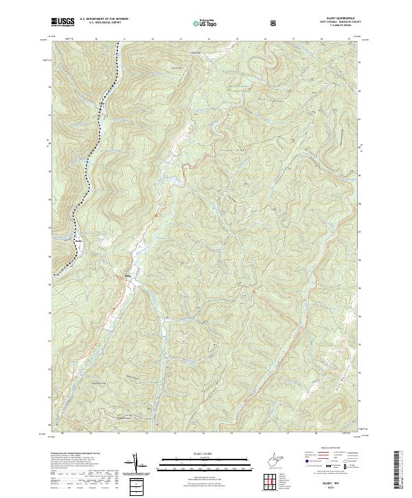
2023 Glady
Randolph County, WV
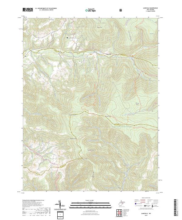
2023 Laneville
Randolph County, WV
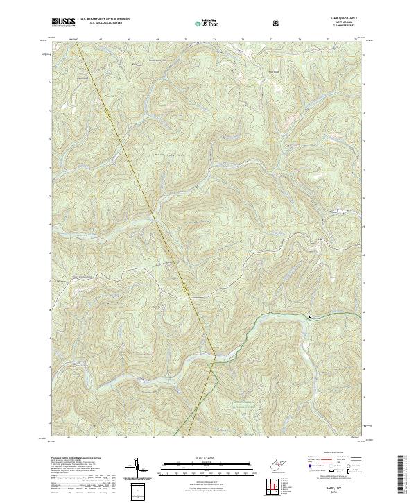
2023 Samp
Randolph County, WV
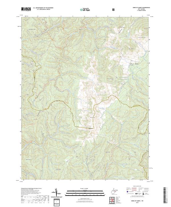
2023 Sinks of Gandy
Randolph County, WV
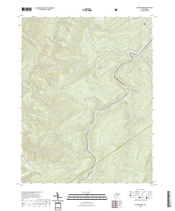
2023 Snyder Knob
Randolph County, WV
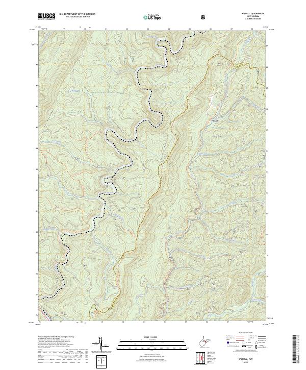
2023 Wildell
Randolph County, WV