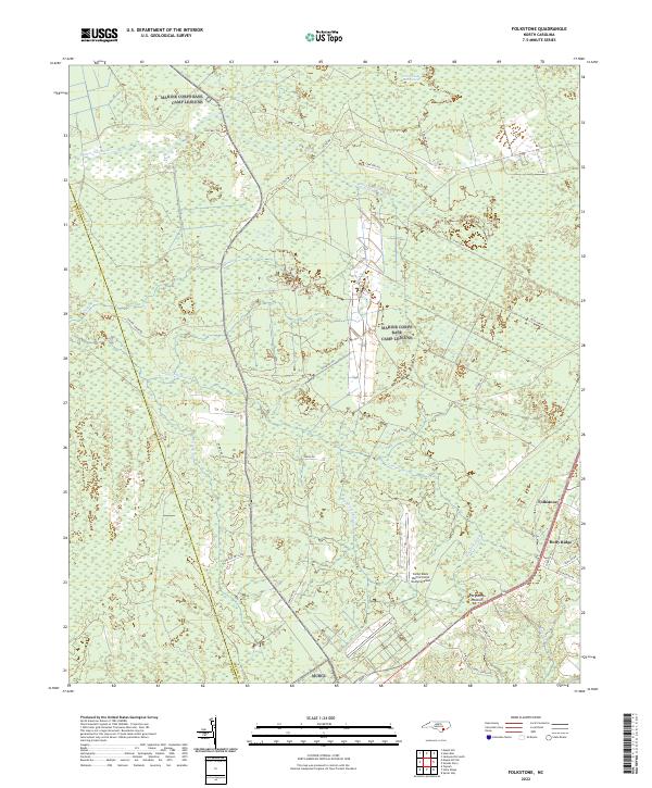
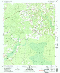
2022 Map of Folkstone
USGS Topo · Published 2022About this map
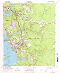
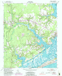
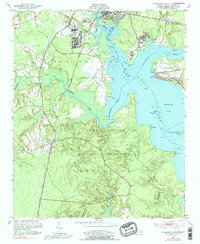
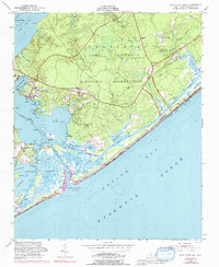
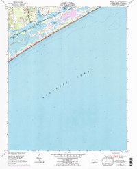
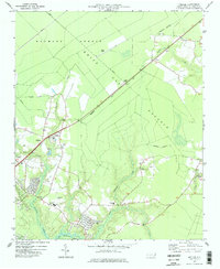
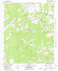
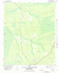
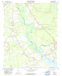
The coastal plain of Onslow County is dominated by the extensive wetland systems of the Great Sandy Run Pocosin and Purgatory Pocosin. This landscape is defined by its complex hydrography, where sluggish watercourses like Shelter Swamp Cr, Big Shaky Swamp, and Shaken Cr thread through dense vegetation. The human footprint is most visible along the southeastern corridor, where the settlements of Folkstone and Holly Ridge are established near the infrastructure of the Camp Davis Marine Corps Outlying Field.
Find a feature on this map
34 named features on this map. Tap any name to fly to it.
Don’t see what you’re looking for? This feature index may not catch every label — zoom into the map to look around manually.
Map Details
Editions of this 2022 Folkstone Map
This is the sole edition of this map. No revisions or reprints were ever made.
Historical Maps of Folkstone Through Time
41 maps found

1942 Spicer Bay
Onslow County, NC
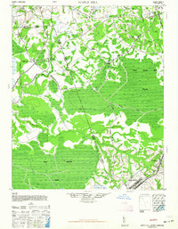
1948 Maple Hill
Onslow County, NC
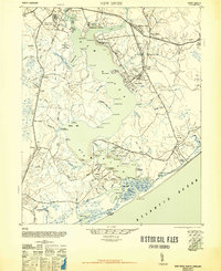
1948 New River
Onslow County, NC
1952 Browns Inlet
Onslow County, NC
1952 Camp Lejeune
Onslow County, NC
1952 Hubert
Onslow County, NC
1952 Jacksonville South
Onslow County, NC
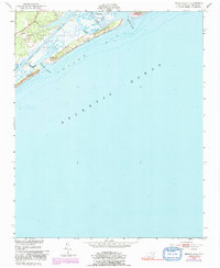
1952 New River Inlet
Onslow County, NC
1952 Spicer Bay
Onslow County, NC

1975 Jacksonville NW
Onslow County, NC
1977 Kellum
Onslow County, NC

1978 Jacksonville North
Onslow County, NC
1980 Catherine Lake
Onslow County, NC

1980 Spicer Bay
Onslow County, NC
1981 Folkstone
Onslow County, NC
1981 Haws Run
Onslow County, NC
1984 Stella
Onslow County, NC

1986 New River
Onslow County, NC

1991 New River
Onslow County, NC

1994 Stella
Onslow County, NC
1997 Browns Inlet
Onslow County, NC

1997 Hubert
Onslow County, NC

1997 Jacksonville North
Onslow County, NC
1997 Jacksonville NW
Onslow County, NC

1997 Jacksonville South
Onslow County, NC

1997 Kellum
Onslow County, NC

1997 New River Inlet
Onslow County, NC
1997 Spicer Bay
Onslow County, NC
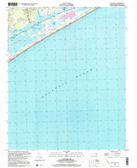
2022 Browns Inlet
Onslow County, NC
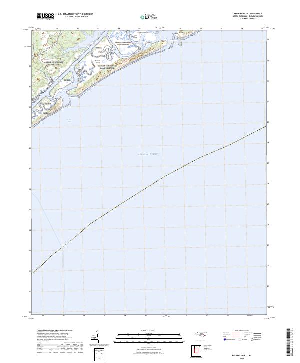
2022 Camp Lejeune
Onslow County, NC
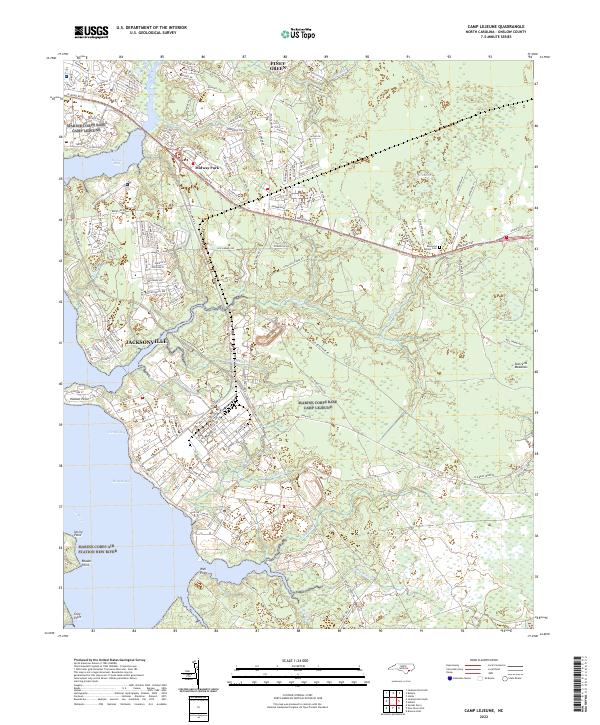
2022 Catherine Lake
Onslow County, NC
2022 Folkstone
Onslow County, NC
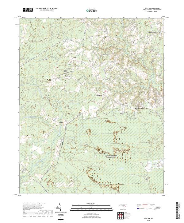
2022 Haws Run
Onslow County, NC
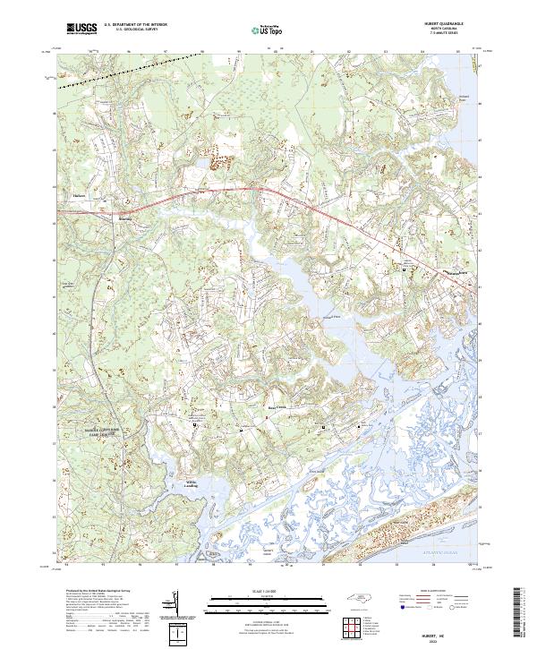
2022 Hubert
Onslow County, NC
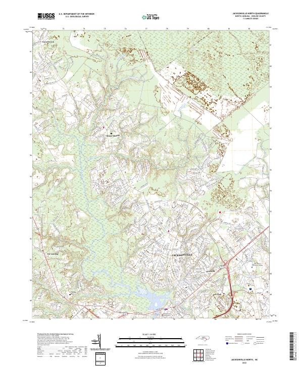
2022 Jacksonville North
Onslow County, NC
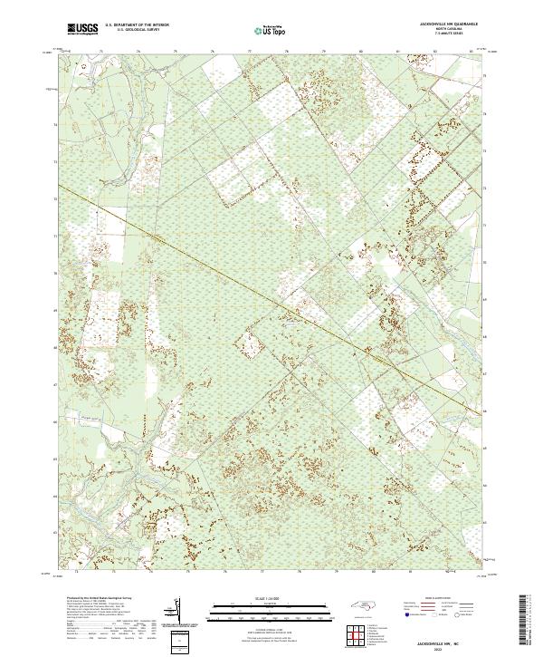
2022 Jacksonville NW
Onslow County, NC
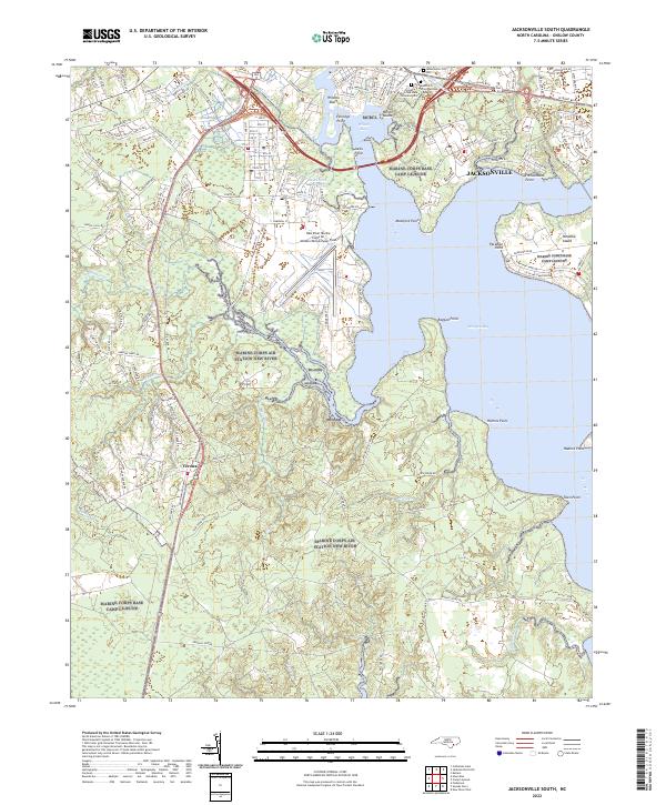
2022 Jacksonville South
Onslow County, NC
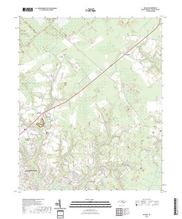
2022 Kellum
Onslow County, NC
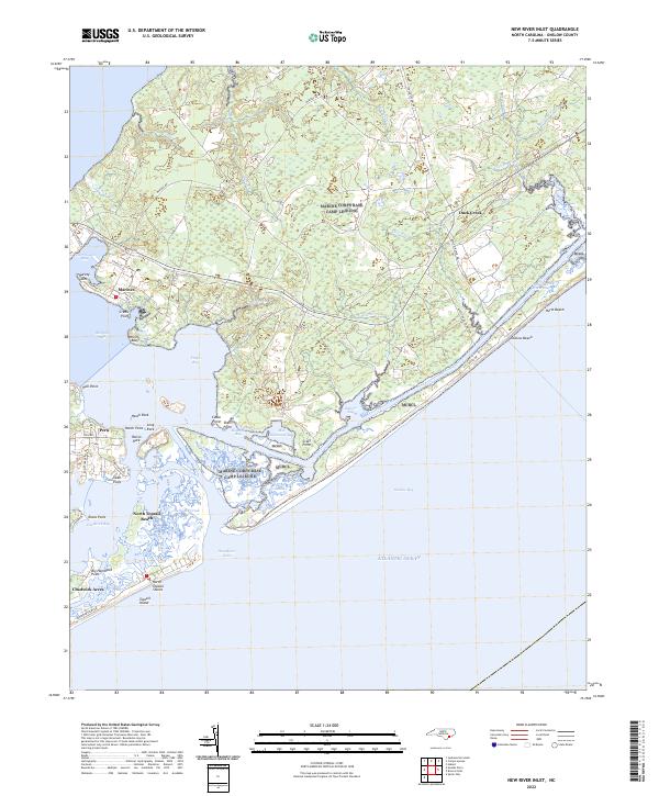
2022 New River Inlet
Onslow County, NC
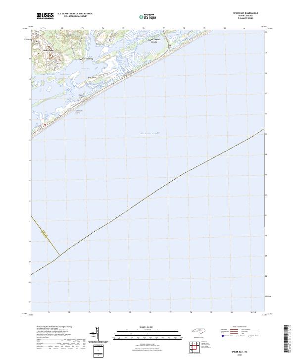
2022 Spicer Bay
Onslow County, NC
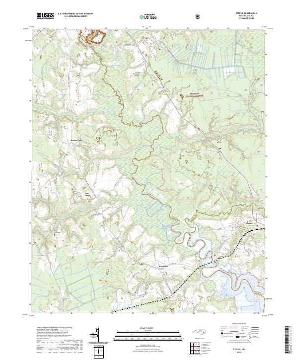
2022 Stella
Onslow County, NC