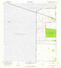
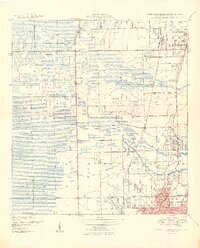
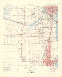
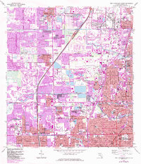
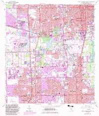
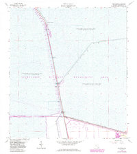
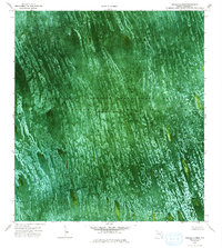
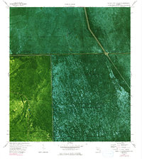
1963 Map of Fort Lauderdale 2 SE
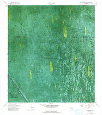
USGS Topo · Published 1964This historical map portrays the area of Fort Lauderdale 2 SE in 1963, primarily covering Broward County as well as portions of Palm Beach County. Featuring a scale of 1:24000, this map provides a highly detailed snapshot of the terrain, roads, buildings, counties, and historical landmarks in the Fort Lauderdale 2 SE region at the time. Published in 1964, it is one of 5 known editions of this map due to revisions or reprints.
Find a feature on this map
15 named features on this map. Tap any name to fly to it.
Don’t see what you’re looking for? This feature index may not catch every label — zoom into the map to look around manually.
Map Details
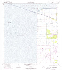
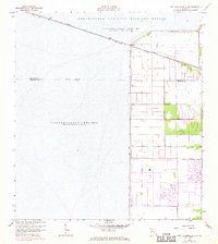
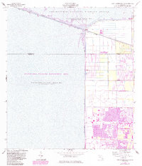
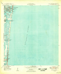
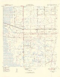
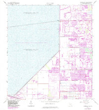
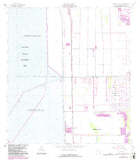
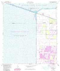
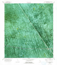
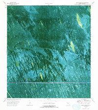
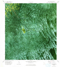
Editions of this 1963 Fort Lauderdale 2 SE Map
5 editions found
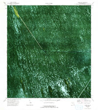
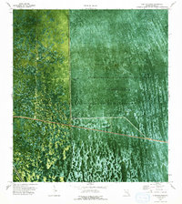
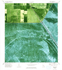
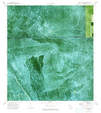
Historical Maps of Palm Beach County Through Time
26 maps found

1945 Fort Lauderdale North
Broward County, FL

1946 West Dixie Bend
Broward County, FL
1949 Fort Lauderdale North
Broward County, FL
1949 Fort Lauderdale South
Broward County, FL
1949 Port Everglades
Broward County, FL
1949 West Dixie Bend
Broward County, FL
1962 Fort Lauderdale North
Broward County, FL
1962 Fort Lauderdale South
Broward County, FL
1962 Port Everglades
Broward County, FL
1962 West Dixie Bend
Broward County, FL
1963 Andytown
Broward County, FL
1963 Cooper City NE
Broward County, FL
1963 Cooper City SW
Broward County, FL
1963 Coral Springs NE
Broward County, FL
1973 East of Deem City
Broward County, FL
1973 East of Lone Palm Head
Broward County, FL
1973 Gator Lake
Broward County, FL
1973 Lone Palm Head
Broward County, FL
1973 Melaleuca Head
Broward County, FL
1973 South of Deem City
Broward County, FL
1974 Deem City
Broward County, FL
1974 Horseshoe Head
Broward County, FL
1974 North Of Lone Palm Head
Broward County, FL
1974 West Of Deem City
Broward County, FL
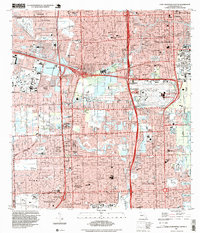
1994 Fort Lauderdale South
Broward County, FL
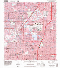
1995 Fort Lauderdale North
Broward County, FL