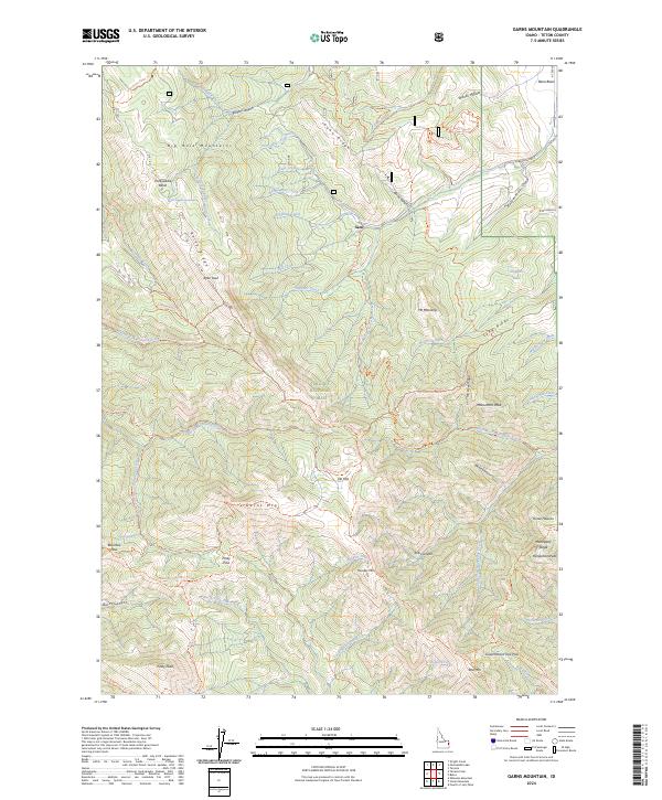
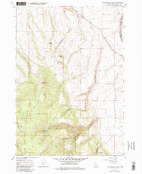
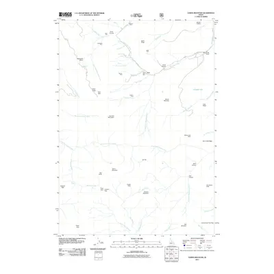
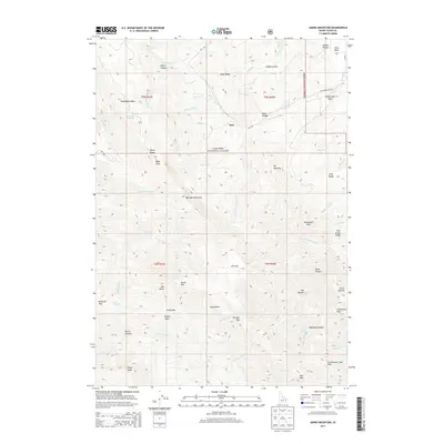
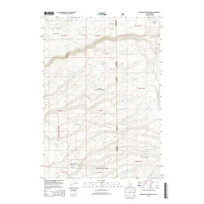
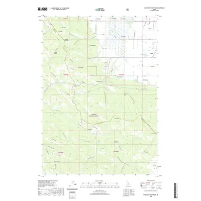
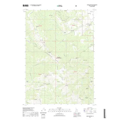
2024 Map of Garns Mountain
USGS Topo · Published 2024About this map
The Big Hole Mountains dominate this high-elevation landscape within the Targhee National Forest, where steep ridges and deep canyons define the terrain. The area's mid-century mining history is anchored by the Idaho Mine located near Idaho Ridge, while the small settlement of Sam sits at a junction of mountain roads. A complex network of trails, including the Garns Mountain Trail and Grandview-Relay Trail, connects major peaks such as Garns Mountain, Ryan Peak, and Thunder Mountain.
Find a feature on this map
89 named features on this map. Tap any name to fly to it.
Don’t see what you’re looking for? This feature index may not catch every label — zoom into the map to look around manually.
Map Details
Editions of this 2024 Garns Mountain Map
This is the sole edition of this map. No revisions or reprints were ever made.
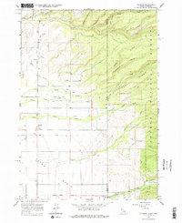
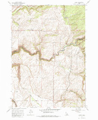
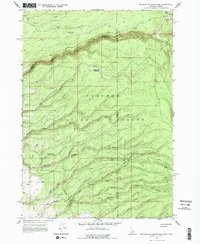
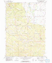
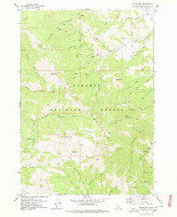
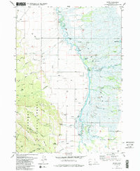
Historical Maps of Teton County Through Time
42 maps found
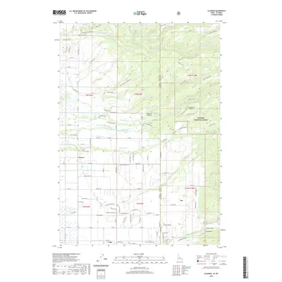
1965 Clawson
Teton County, ID
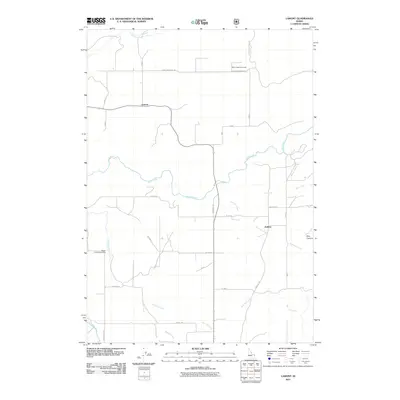
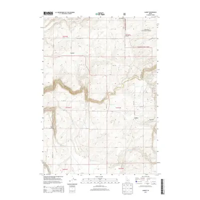
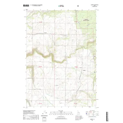
1965 Lamont
Teton County, ID
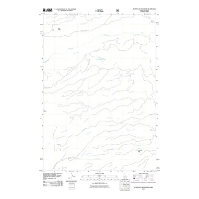
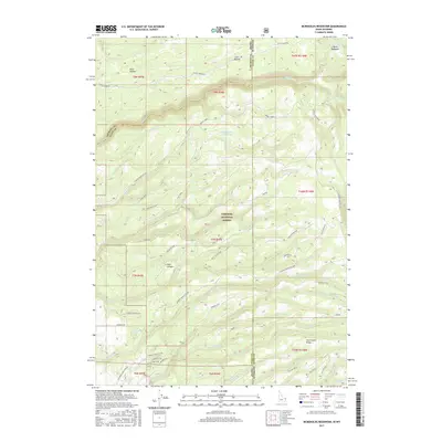
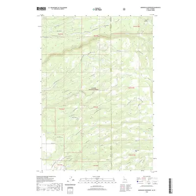
1965 Mc Renolds Reservoir
Teton County, ID
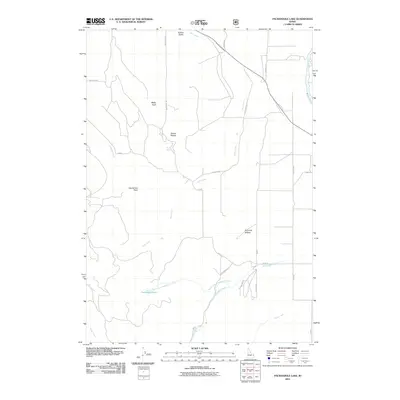
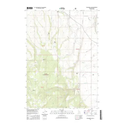
1965 Packsaddle Lake
Teton County, ID
1978 Fourth of July Peak
Teton County, ID
1978 Garns Mtn
Teton County, ID
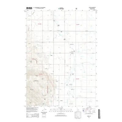
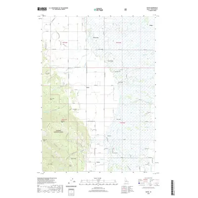
1979 Bates
Teton County, ID
2011 Bates
Teton County, ID
2011 Clawson
Teton County, ID
2011 Fourth of July Peak
Teton County, ID
2011 Garns Mountain
Teton County, ID
2011 Lamont
Teton County, ID
2011 McRenolds Reservoir
Teton County, ID
2011 Packsaddle Lake
Teton County, ID
2013 Bates
Teton County, ID
2013 Clawson
Teton County, ID
2013 Fourth of July Peak
Teton County, ID
2013 Garns Mountain
Teton County, ID
2013 Lamont
Teton County, ID
2013 McRenolds Reservoir
Teton County, ID
2013 Packsaddle Lake
Teton County, ID
2017 Bates
Teton County, ID
2017 Clawson
Teton County, ID
2017 Fourth of July Peak
Teton County, ID
2017 Garns Mountain
Teton County, ID
2017 Lamont
Teton County, ID
2017 McRenolds Reservoir
Teton County, ID
2017 Packsaddle Lake
Teton County, ID
2020 Bates
Teton County, ID
2020 Clawson
Teton County, ID
2020 Fourth of July Peak
Teton County, ID
2020 Garns Mountain
Teton County, ID
2020 Lamont
Teton County, ID
2020 McRenolds Reservoir
Teton County, ID
2020 Packsaddle Lake
Teton County, ID
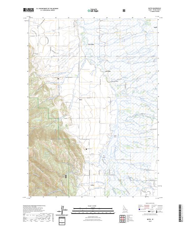
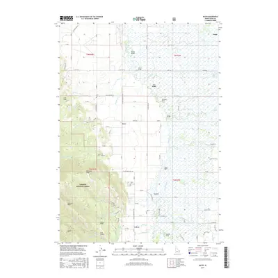
2023 Bates
Teton County, ID
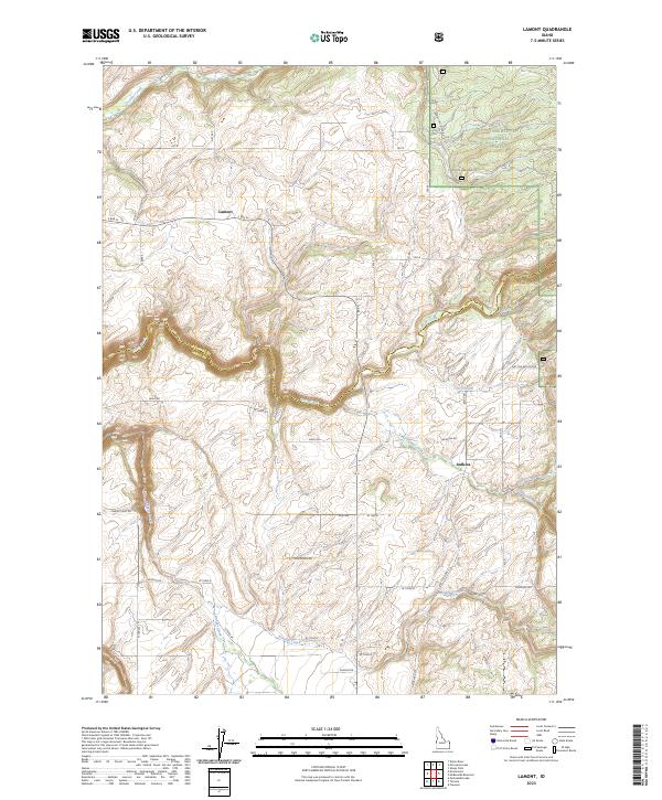
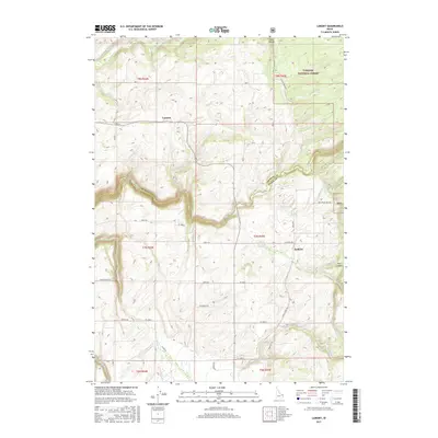
2023 Lamont
Teton County, ID
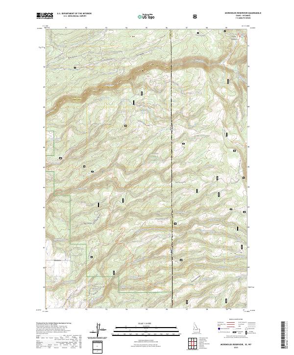
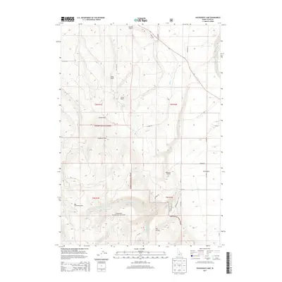
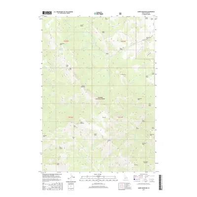
2023 McRenolds Reservoir
Teton County, ID
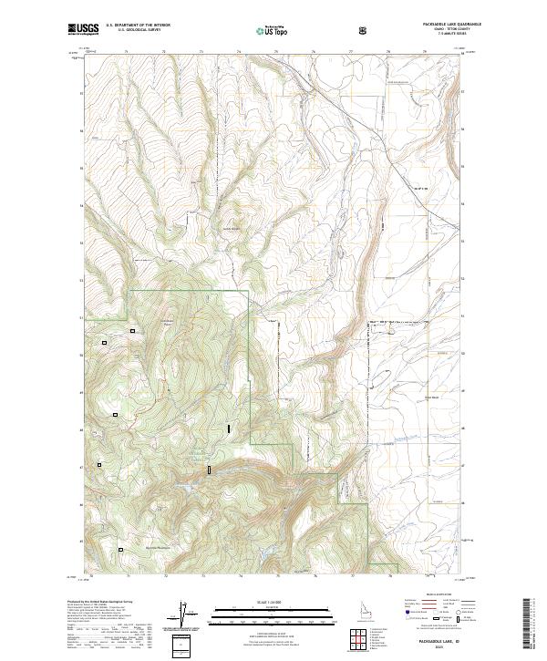
2023 Packsaddle Lake
Teton County, ID
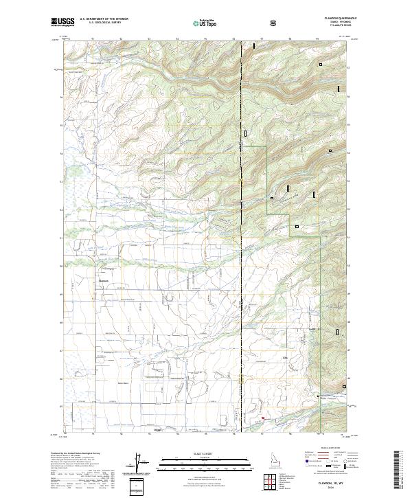
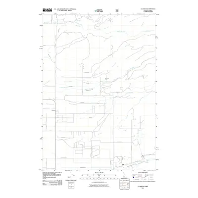
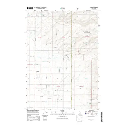
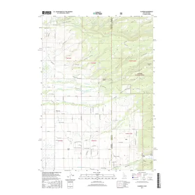
2024 Clawson
Teton County, ID
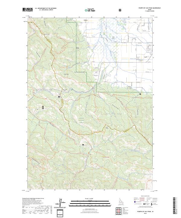
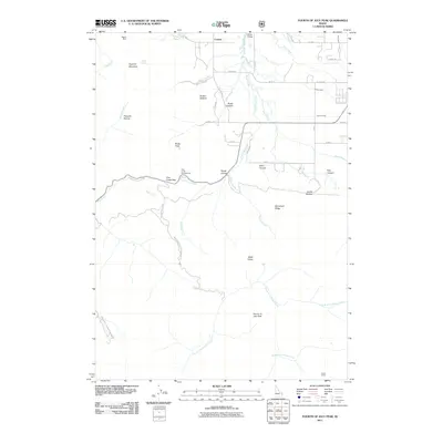
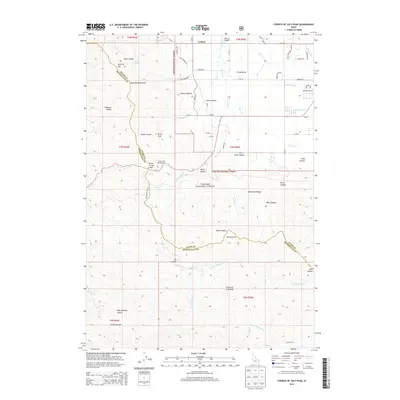
2024 Fourth of July Peak
Teton County, ID
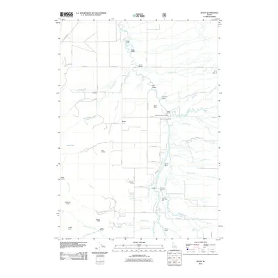
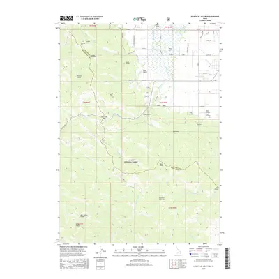
2024 Garns Mountain
Teton County, ID