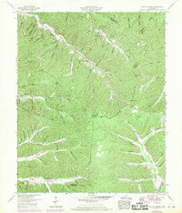
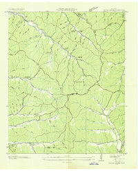
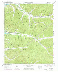
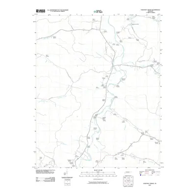
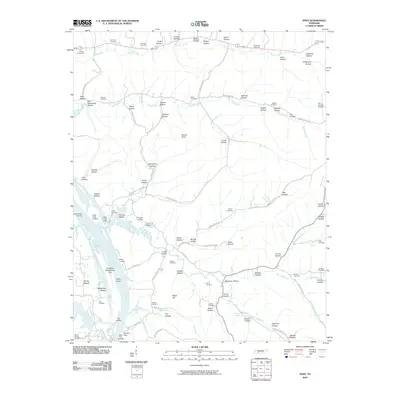
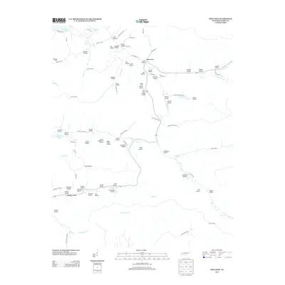
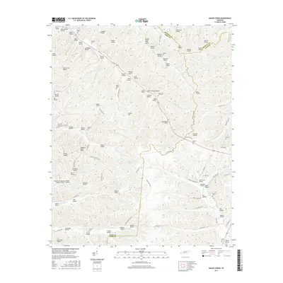
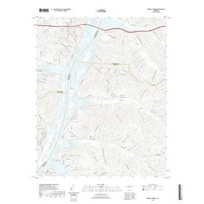
1951 Map of Graves Spring
USGS Topo · Published 1970About this map
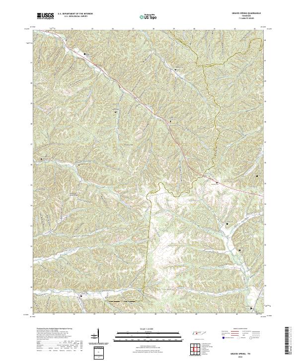
The rugged hollows and creek valleys of the Tennessee Highland Rim meet at a three-county junction between Perry, Lewis, and Hickman. In the mid-twentieth century, this landscape was defined by small rural hubs centered around Sinking Creek Church and Coon Creek Ch, with community life anchored by the Upper Brush Creek School and Upper Coon Creek School. The topography is an intricate network of named drainage basins, such as Boneyard Hollow Branch, Rockhouse Creek, and Hurricane Creek, where local families established homesteads and small burial grounds. Genealogists can find numerous family-named landmarks, including Graves Cem, Poplin Hollow Cem, and Qualls Cem, situated along the winding valley floors. The presence of Horse Pond and the extensive system of wooded ridges, like Sassasfras Stand Ridge, illustrate a landscape largely dictated by its natural contours and the seasonal flow of its many branches.
Find a feature on this map
100 named features on this map. Tap any name to fly to it.
Don’t see what you’re looking for? This feature index may not catch every label — zoom into the map to look around manually.
Map Details
Editions of this 1951 Graves Spring Map
3 editions found
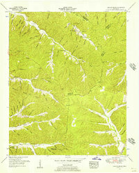
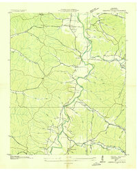
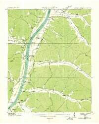
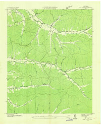
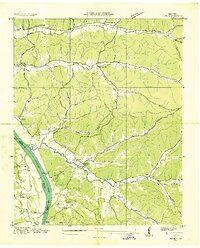
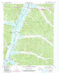
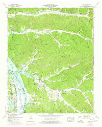
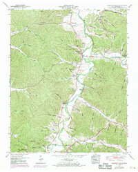
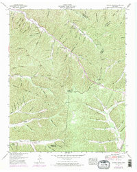
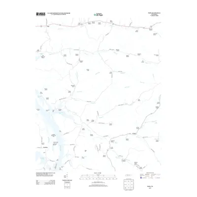
Historical Maps of Hickman County Through Time
35 maps found
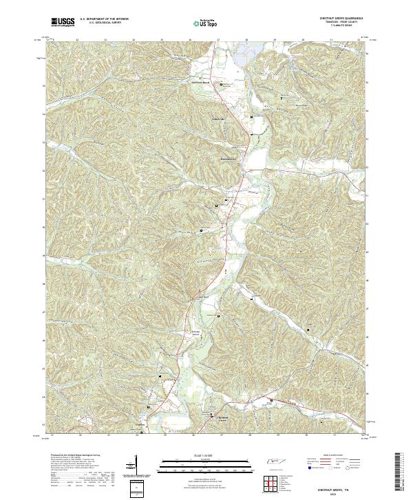
1936 Chestnut Grove
Perry County, TN
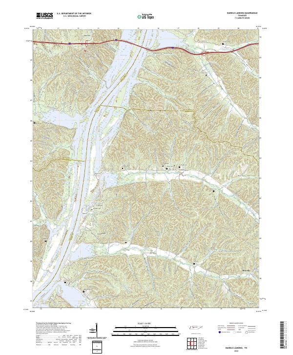
1936 Daniels Landing
Perry County, TN
1936 Graves Spring
Perry County, TN
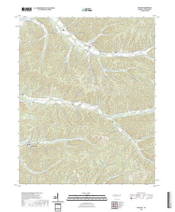
1936 Pine View
Perry County, TN
1936 Pope
Perry County, TN
1949 Daniels Landing
Perry County, TN
1949 Pine View
Perry County, TN
1949 Pope
Perry County, TN
1950 Chestnut Grove
Perry County, TN
1951 Graves Spring
Perry County, TN
2010 Chestnut Grove
Perry County, TN
2010 Daniels Landing
Perry County, TN
2010 Graves Spring
Perry County, TN
2010 Pine View
Perry County, TN
2010 Pope
Perry County, TN
2013 Chestnut Grove
Perry County, TN
2013 Daniels Landing
Perry County, TN
2013 Graves Spring
Perry County, TN
2013 Pine View
Perry County, TN
2013 Pope
Perry County, TN
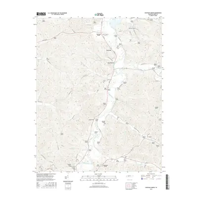
2016 Chestnut Grove
Perry County, TN
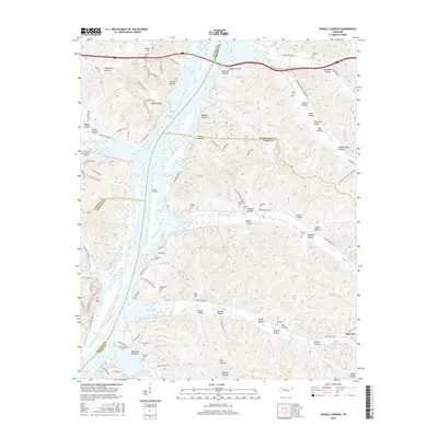
2016 Daniels Landing
Perry County, TN
2016 Graves Spring
Perry County, TN
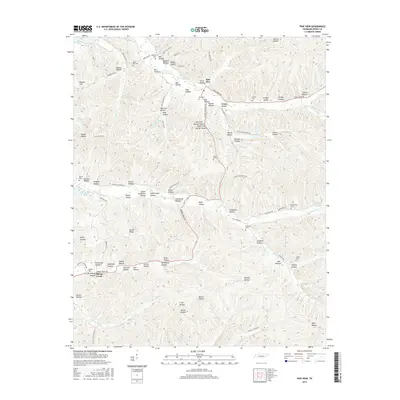
2016 Pine View
Perry County, TN
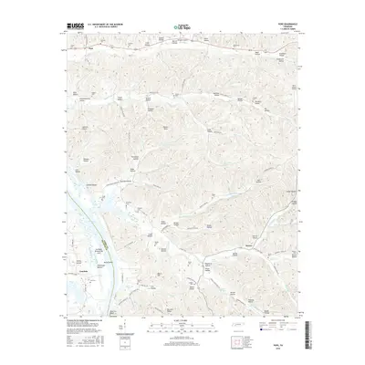
2016 Pope
Perry County, TN
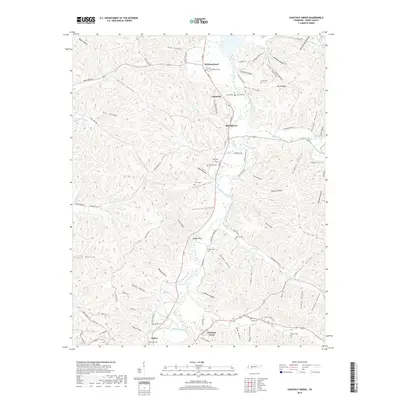
2019 Chestnut Grove
Perry County, TN
2019 Daniels Landing
Perry County, TN
2019 Graves Spring
Perry County, TN
2019 Pine View
Perry County, TN
2019 Pope
Perry County, TN
2022 Chestnut Grove
Perry County, TN
2022 Daniels Landing
Perry County, TN
2022 Graves Spring
Perry County, TN
2022 Pine View
Perry County, TN
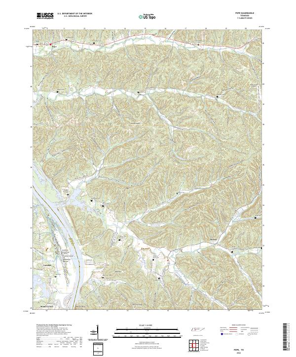
2022 Pope
Perry County, TN