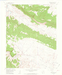
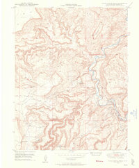
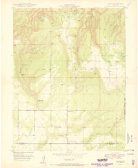
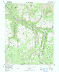
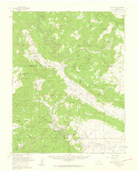
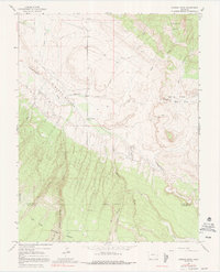
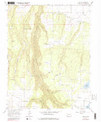
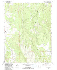
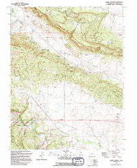
1960 Map of Hamm Canyon
USGS Topo · Published 1961This historical map portrays the area of Hamm Canyon in 1960, primarily covering San Miguel County. Featuring a scale of 1:24000, this map provides a highly detailed snapshot of the terrain, roads, buildings, counties, and historical landmarks in the Hamm Canyon region at the time. Published in 1961, it is one of 3 known editions of this map due to revisions or reprints.
Find a feature on this map
23 named features on this map. Tap any name to fly to it.
Don’t see what you’re looking for? This feature index may not catch every label — zoom into the map to look around manually.
Map Details
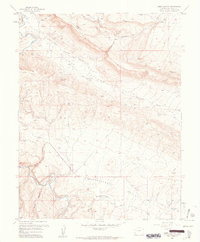
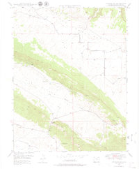
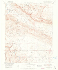
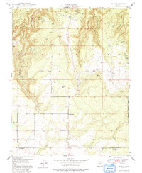
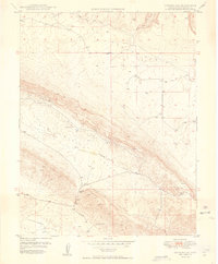
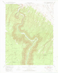
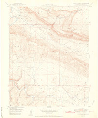
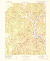
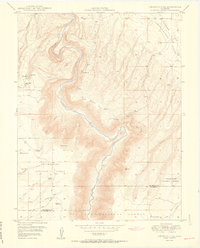
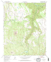
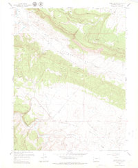
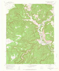
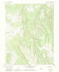
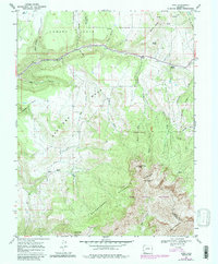
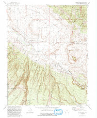
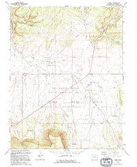
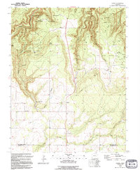
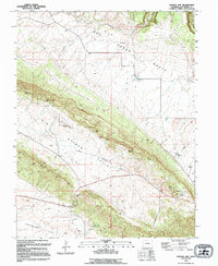
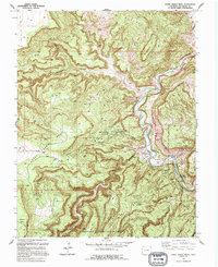
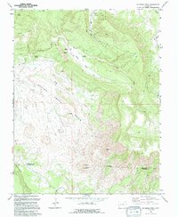
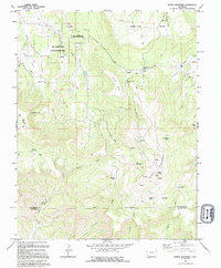
Editions of this 1960 Hamm Canyon Map
3 editions found
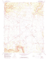
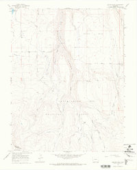
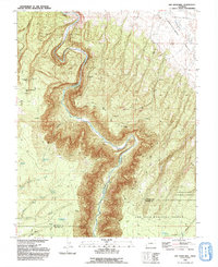
Historical Maps of Colorado Through Time
35 maps found
1948 Gypsum Gap
San Miguel County, CO
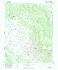
1948 Hamm Canyon
San Miguel County, CO
1948 Horse Range Mesa
San Miguel County, CO
1949 Egnar
San Miguel County, CO
1949 Gypsum Gap
San Miguel County, CO
1949 Joe Davis Hill
San Miguel County, CO
1950 Egnar
San Miguel County, CO
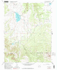
1950 Hamm Canyon
San Miguel County, CO
1950 Horse Range Mesa
San Miguel County, CO
1950 Joe Davis Hill
San Miguel County, CO
1953 Gray Head
San Miguel County, CO
1953 Little Cone
San Miguel County, CO
1960 Hamm Canyon
San Miguel County, CO
1960 Horse Range Mesa
San Miguel County, CO
1960 Slick Rock
San Miguel County, CO
1964 Barkelew Draw
San Miguel County, CO
1964 Basin
San Miguel County, CO
1964 Beaver Park
San Miguel County, CO
1964 Dawson Draw
San Miguel County, CO

1964 Gurley Canyon
San Miguel County, CO
1964 Lone Cone
San Miguel County, CO
1964 Mc Kenna Peak
San Miguel County, CO
1964 North Mountain
San Miguel County, CO
1964 Oak Hill
San Miguel County, CO
1967 Sams
San Miguel County, CO
1993 Dawson Draw
San Miguel County, CO
1993 Joe Davis Hill
San Miguel County, CO
1994 Barkelew Draw
San Miguel County, CO
1994 Basin
San Miguel County, CO
1994 Egnar
San Miguel County, CO
1994 Gypsum Gap
San Miguel County, CO
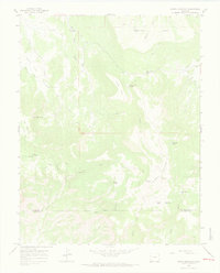
1994 Hamm Canyon
San Miguel County, CO
1994 Horse Range Mesa
San Miguel County, CO
1994 Mc Kenna Peak
San Miguel County, CO
1994 North Mountain
San Miguel County, CO