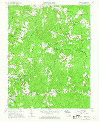
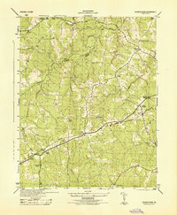
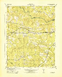
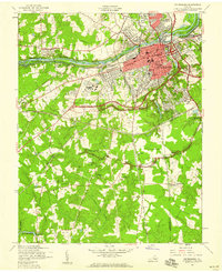
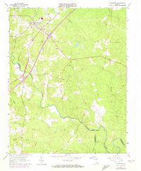
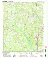
1964 Map of Hebron
USGS Topo · Published 1966This historical map portrays the area of Hebron in 1964, primarily covering Dinwiddie County as well as portions of Nottoway County and Amelia County. Featuring a scale of 1:24000, this map provides a highly detailed snapshot of the terrain, roads, buildings, counties, and historical landmarks in the Hebron region at the time. Published in 1966, it is one of 4 known editions of this map due to revisions or reprints.
Find a feature on this map
43 named features on this map. Tap any name to fly to it.
Don’t see what you’re looking for? This feature index may not catch every label — zoom into the map to look around manually.
Map Details
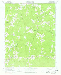
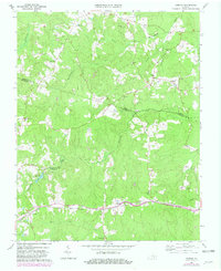
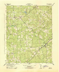
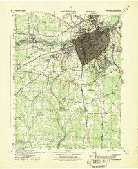
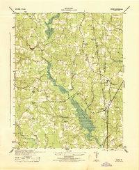
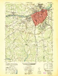
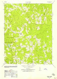
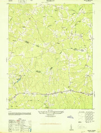
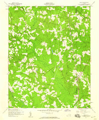
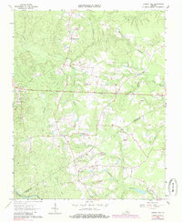
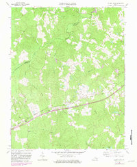
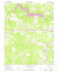
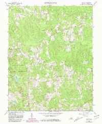
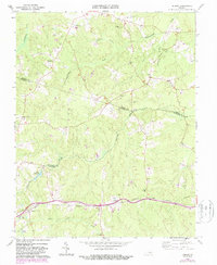
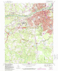
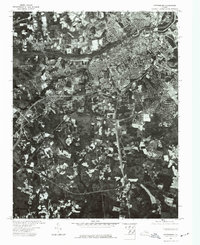
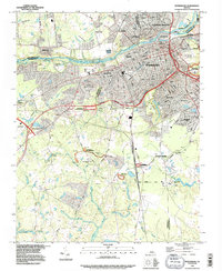
Editions of this 1964 Hebron Map
4 editions found
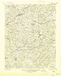
Historical Maps of Nottoway County Through Time
28 maps found
1897 Amelia
Dinwiddie County, VA

1919 Mc Kenney
Dinwiddie County, VA

1921 Mc Kenney
Dinwiddie County, VA

1943 Church Road
Dinwiddie County, VA

1943 De Witt
Dinwiddie County, VA

1943 Mc Kenney
Dinwiddie County, VA

1943 Sutherland
Dinwiddie County, VA
1944 Church Road
Dinwiddie County, VA
1944 DeWitt
Dinwiddie County, VA
1944 Petersburg
Dinwiddie County, VA
1944 Reams
Dinwiddie County, VA
1944 Sutherland
Dinwiddie County, VA
1949 Petersburg
Dinwiddie County, VA
1950 Darvills
Dinwiddie County, VA
1950 Hebron
Dinwiddie County, VA
1952 Petersburg
Dinwiddie County, VA
1952 Reams
Dinwiddie County, VA
1963 Cherry Hill
Dinwiddie County, VA
1963 Church Road
Dinwiddie County, VA

1963 De Witt
Dinwiddie County, VA
1963 Mc Kenney
Dinwiddie County, VA
1963 Sutherland
Dinwiddie County, VA
1964 Darvills
Dinwiddie County, VA
1964 Hebron
Dinwiddie County, VA
1969 Carson
Dinwiddie County, VA
1969 Petersburg
Dinwiddie County, VA
1974 Petersburg
Dinwiddie County, VA
1994 Petersburg
Dinwiddie County, VA