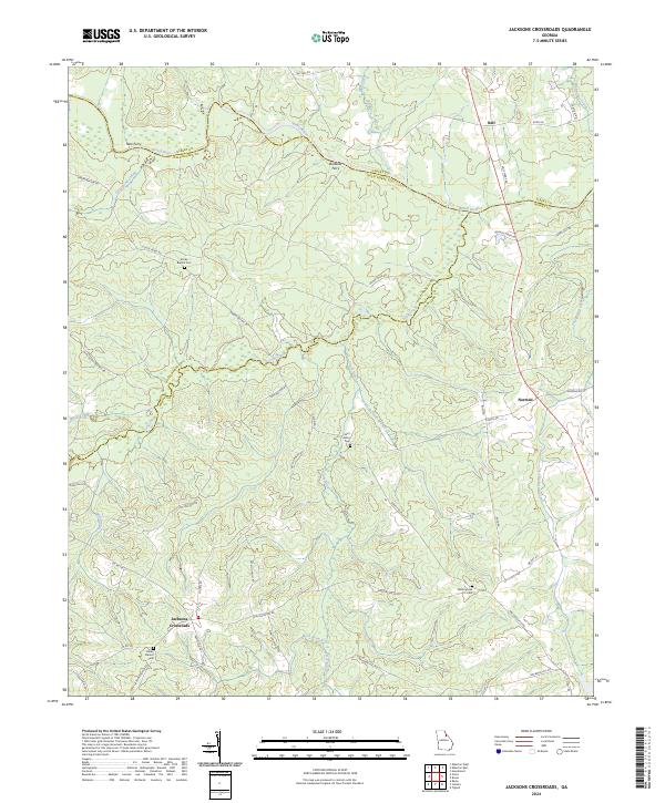
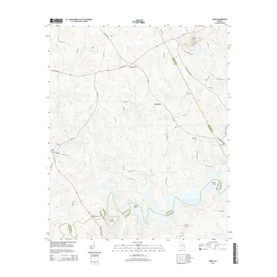
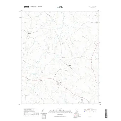
2024 Map of Jacksons Crossroads
USGS Topo · Published 2024About this map
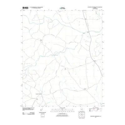
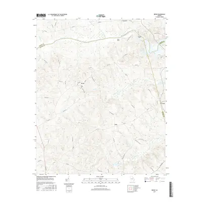
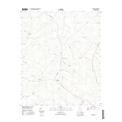
Jacksons Crossroads serves as a central anchor in this rural Georgia landscape where the borders of Elbert, Oglethorpe, and Wilkes counties converge. The topography is defined by the winding course of the Broad River, which is historically marked by the sites of New Ferry and Bullards Ferry. These crossings once linked the isolated agricultural communities and farmsteads scattered across the drainages of Goosepond Creek and Long Creek.
Find a feature on this map
48 named features on this map. Tap any name to fly to it.
Don’t see what you’re looking for? This feature index may not catch every label — zoom into the map to look around manually.
Map Details
Editions of this 2024 Jacksons Crossroads Map
This is the sole edition of this map. No revisions or reprints were ever made.
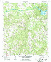
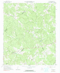
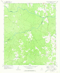
Historical Maps of Tignall Through Time
43 maps found
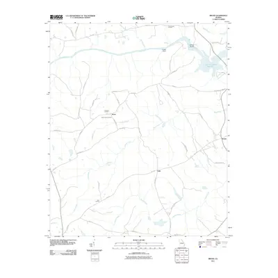
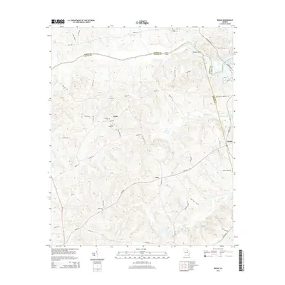
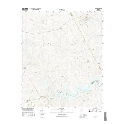
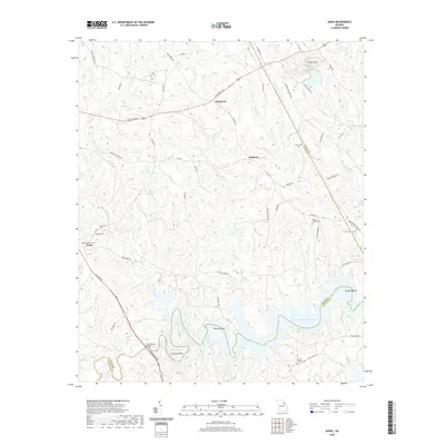
1955 Broad
Wilkes County, GA
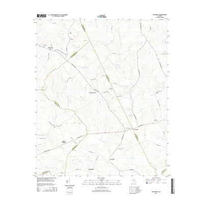
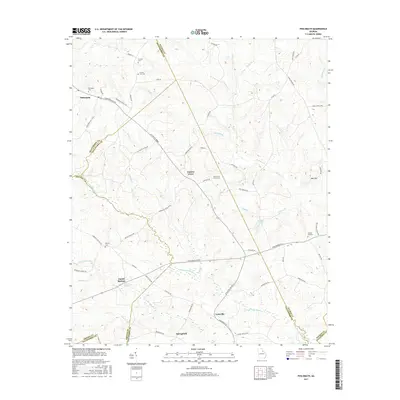
1966 Philomath
Wilkes County, GA
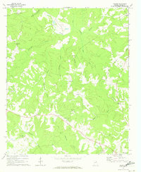
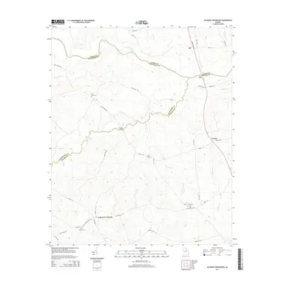
1970 Jacksons Crossroads
Wilkes County, GA
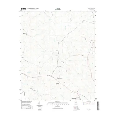
1971 Celeste
Wilkes County, GA
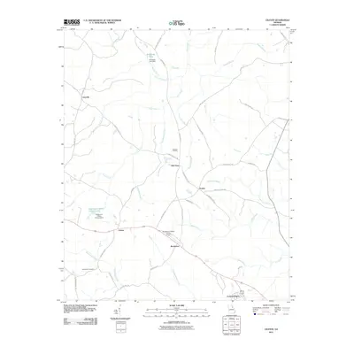
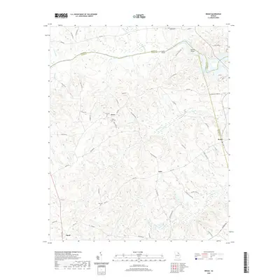
1972 Aonia
Wilkes County, GA
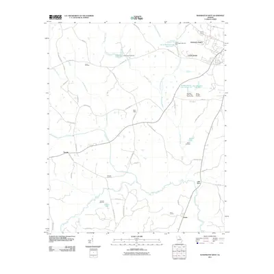
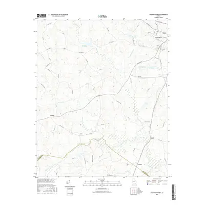
1972 Washington East
Wilkes County, GA
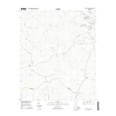
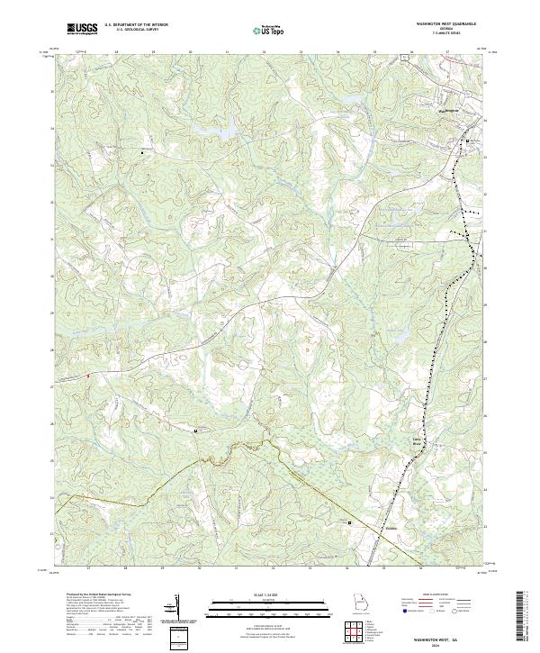
1972 Washington West
Wilkes County, GA

1980 Clark Hill Lake
Wilkes County, GA

2011 Aonia
Wilkes County, GA
2011 Broad
Wilkes County, GA
2011 Celeste
Wilkes County, GA
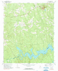
2011 Jacksons Crossroads
Wilkes County, GA

2011 Philomath
Wilkes County, GA

2011 Washington East
Wilkes County, GA
2011 Washington West
Wilkes County, GA
2014 Aonia
Wilkes County, GA
2014 Broad
Wilkes County, GA
2014 Celeste
Wilkes County, GA
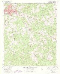
2014 Jacksons Crossroads
Wilkes County, GA
2014 Philomath
Wilkes County, GA

2014 Washington East
Wilkes County, GA
2014 Washington West
Wilkes County, GA
2017 Aonia
Wilkes County, GA
2017 Broad
Wilkes County, GA
2017 Celeste
Wilkes County, GA
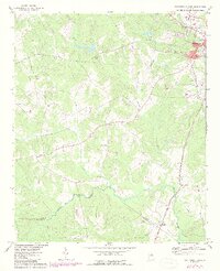
2017 Jacksons Crossroads
Wilkes County, GA
2017 Philomath
Wilkes County, GA
2017 Washington East
Wilkes County, GA
2017 Washington West
Wilkes County, GA
2020 Aonia
Wilkes County, GA
2020 Broad
Wilkes County, GA
2020 Celeste
Wilkes County, GA
2020 Jacksons Crossroads
Wilkes County, GA
2020 Philomath
Wilkes County, GA

2020 Washington East
Wilkes County, GA
2020 Washington West
Wilkes County, GA
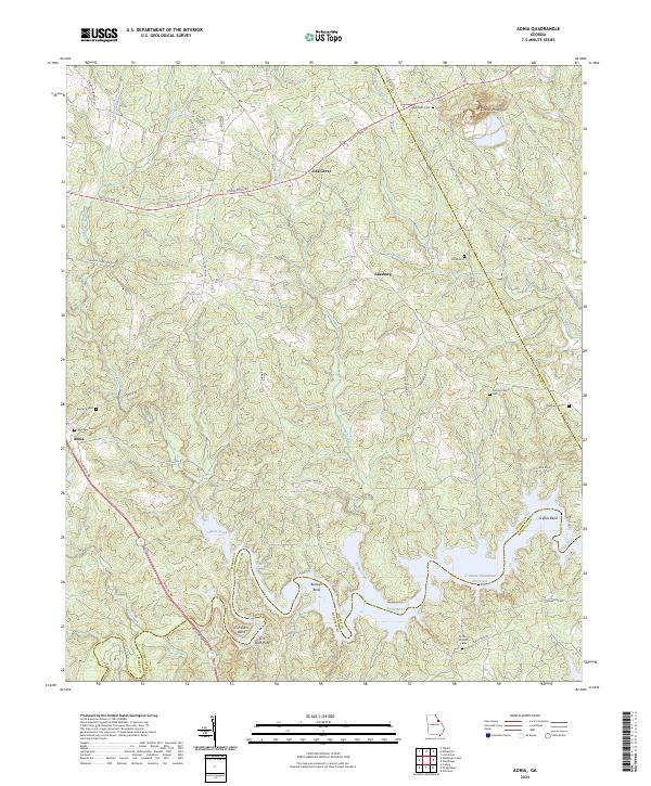
2024 Aonia
Wilkes County, GA
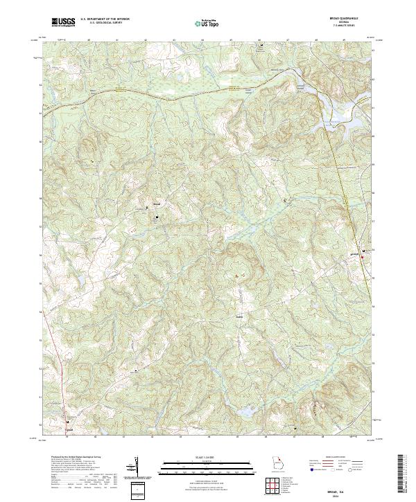
2024 Broad
Wilkes County, GA
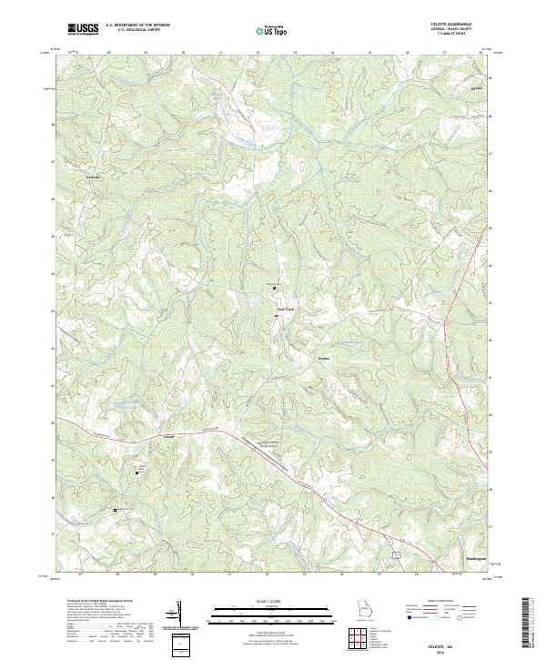
2024 Celeste
Wilkes County, GA
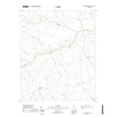
2024 Jacksons Crossroads
Wilkes County, GA
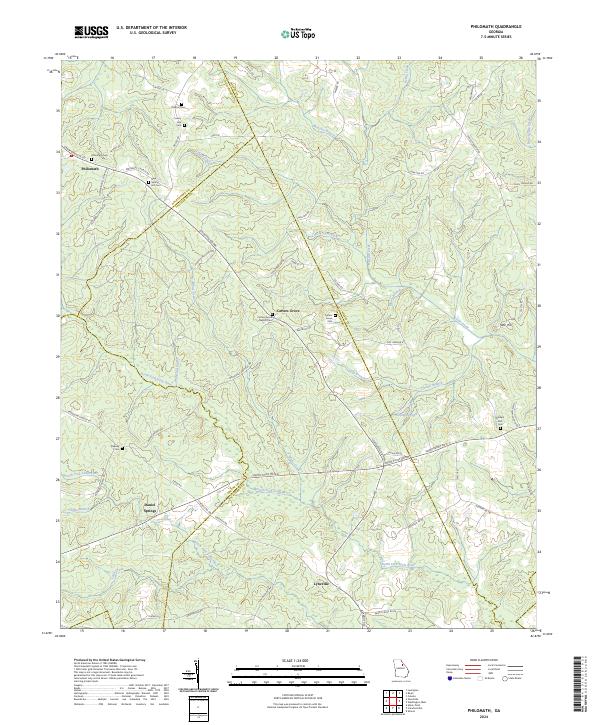
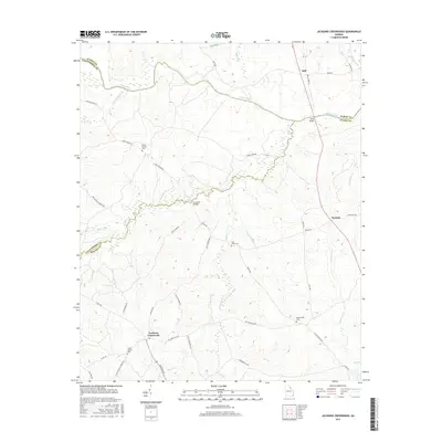
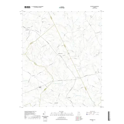
2024 Philomath
Wilkes County, GA
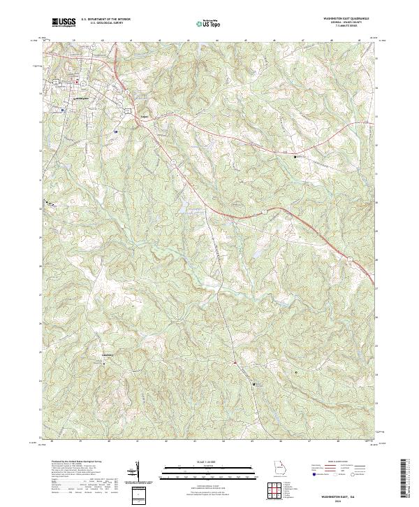
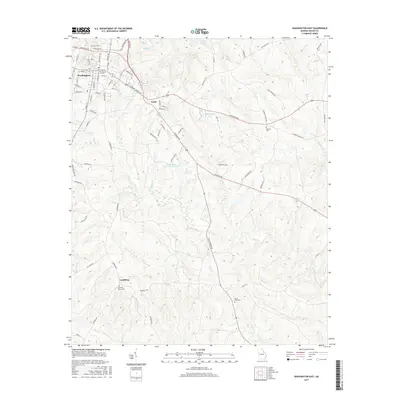
2024 Washington East
Wilkes County, GA
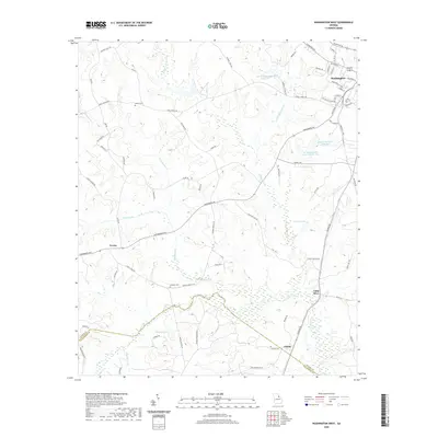
2024 Washington West
Wilkes County, GA