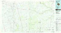
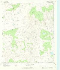
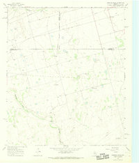
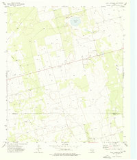
1986 Map of Lacy Creek
USGS Topo · Published 1986This historical map portrays the area of Lacy Creek in 1986, primarily covering Glasscock County as well as portions of Irion County, Sterling County, Midland County, Tom Green County, Reagan County, and Upton County. Featuring a scale of 1:100000, this map provides a highly detailed snapshot of the terrain, roads, buildings, counties, and historical landmarks in the Lacy Creek region at the time. Published in 1986, it is one of 2 known editions of this map due to revisions or reprints.
Find a feature on this map
67 named features on this map. Tap any name to fly to it.
Don’t see what you’re looking for? This feature index may not catch every label — zoom into the map to look around manually.
Map Details
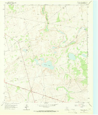
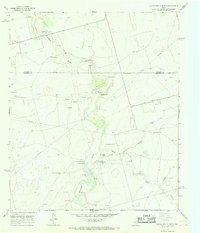
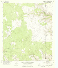
Editions of this 1986 Lacy Creek Map
2 editions found
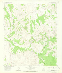
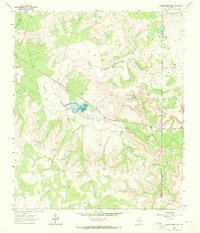
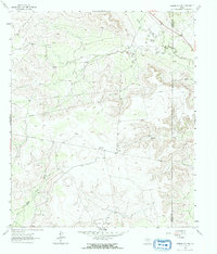
Historical Maps of Reagan County Through Time
29 maps found
1963 Ballinger Ranch
Glasscock County, TX
1963 Currie Reservoir
Glasscock County, TX
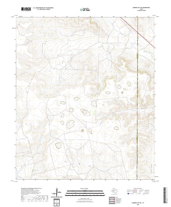
1963 Garden City NE
Glasscock County, TX
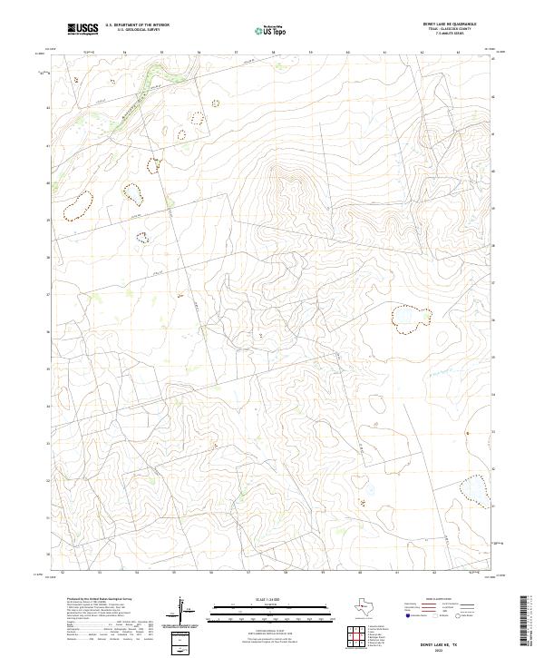
1964 Dewey Lake NE
Glasscock County, TX
1965 Dewey Lake
Glasscock County, TX
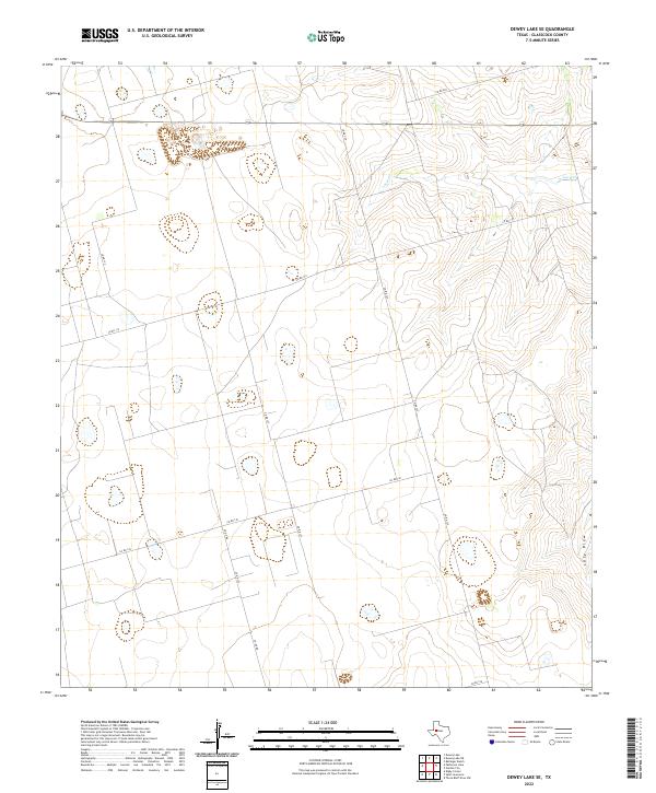
1965 Dewey Lake SE
Glasscock County, TX
1965 Patterson Lake
Glasscock County, TX
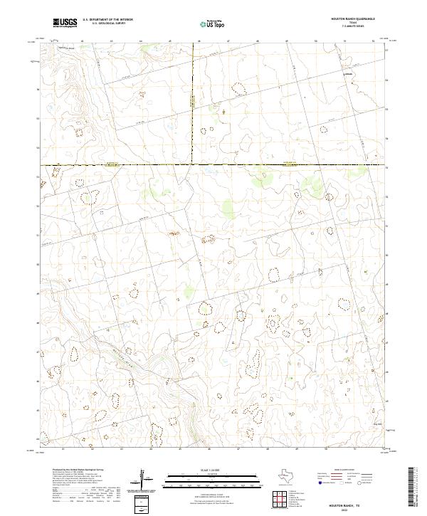
1966 Houston Ranch
Glasscock County, TX
1966 Lucian Wells Ranch
Glasscock County, TX
1971 Lees
Glasscock County, TX
1973 Bigby Corner
Glasscock County, TX
1973 Saint Lawrence
Glasscock County, TX
1973 Three Bluff Draw NE
Glasscock County, TX
1973 Three Bluff Draw NW
Glasscock County, TX
1986 Lacy Creek
Glasscock County, TX
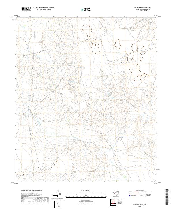
2022 Ballinger Ranch
Glasscock County, TX
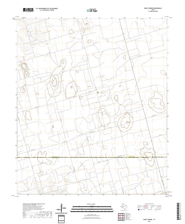
2022 Bigby Corner
Glasscock County, TX
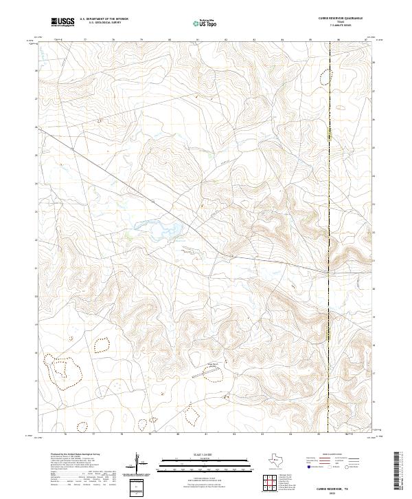
2022 Currie Reservoir
Glasscock County, TX
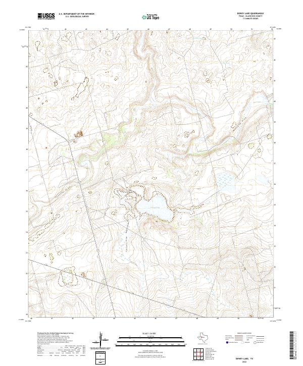
2022 Dewey Lake
Glasscock County, TX
2022 Dewey Lake NE
Glasscock County, TX
2022 Dewey Lake SE
Glasscock County, TX
2022 Garden City NE
Glasscock County, TX
2022 Houston Ranch
Glasscock County, TX
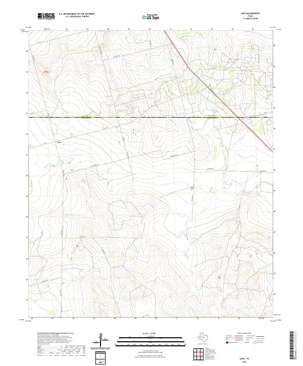
2022 Lees
Glasscock County, TX
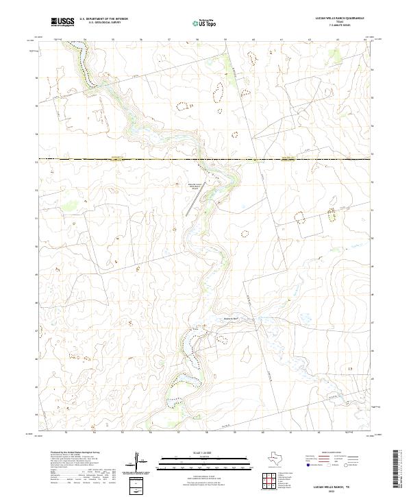
2022 Lucian Wells Ranch
Glasscock County, TX
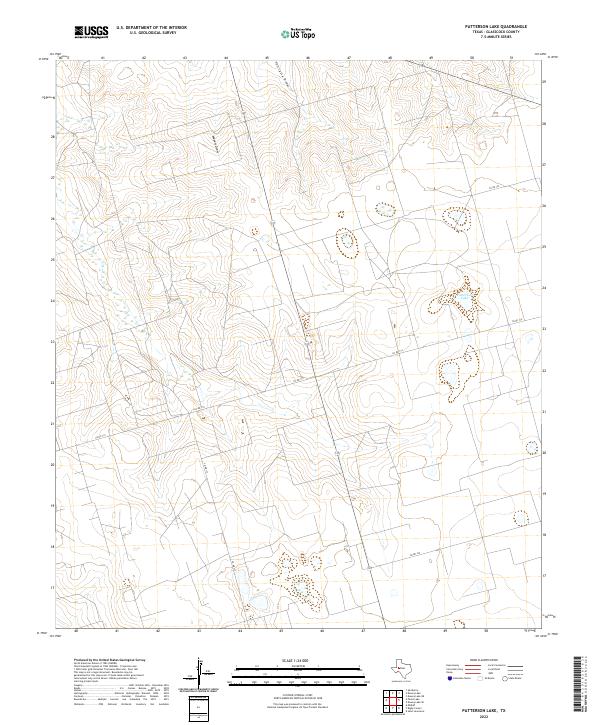
2022 Patterson Lake
Glasscock County, TX
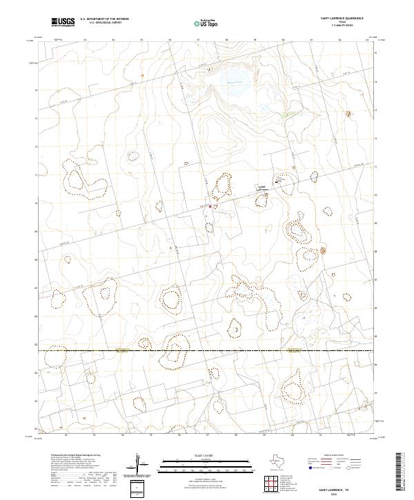
2022 Saint Lawrence
Glasscock County, TX
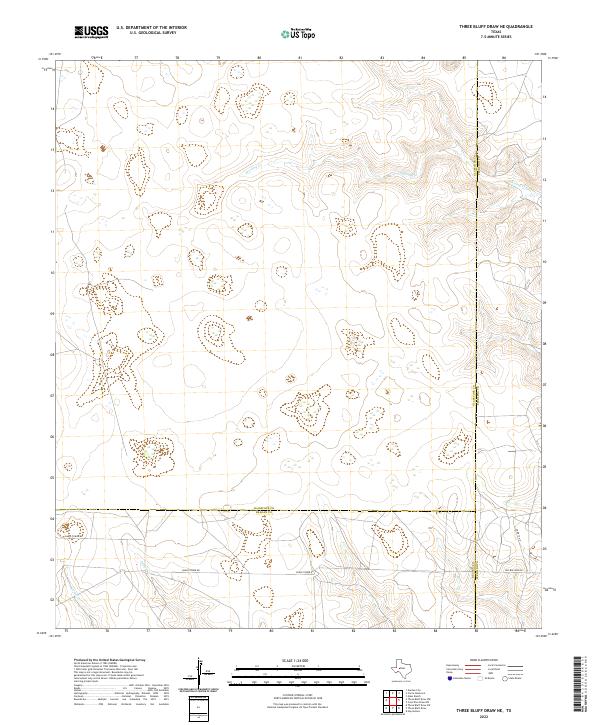
2022 Three Bluff Draw NE
Glasscock County, TX
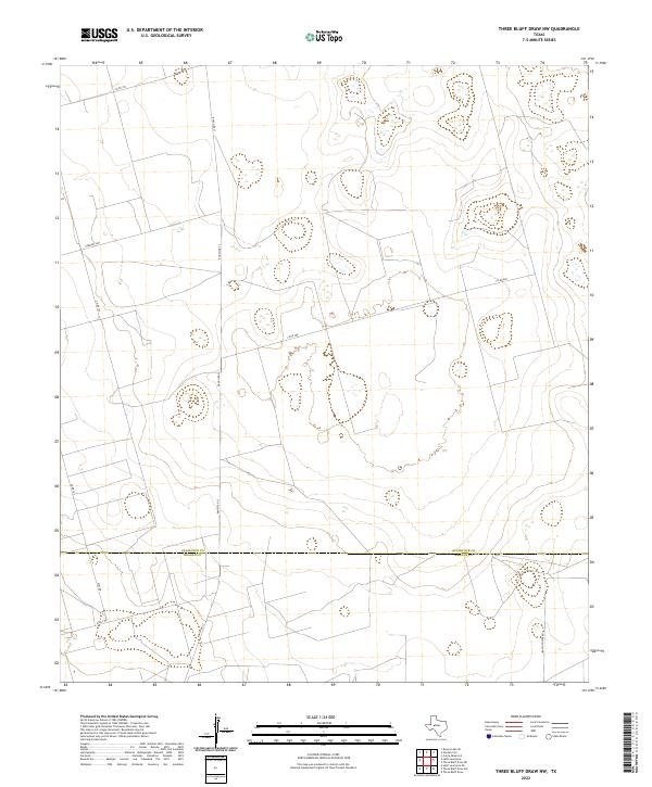
2022 Three Bluff Draw NW
Glasscock County, TX