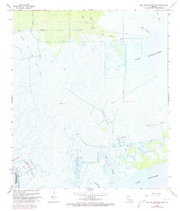
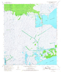
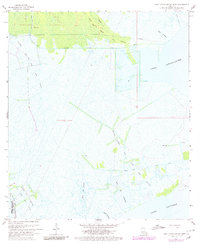
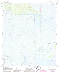
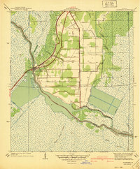
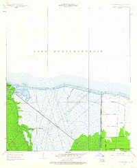
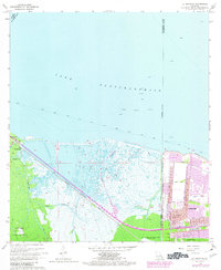
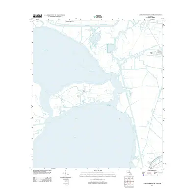
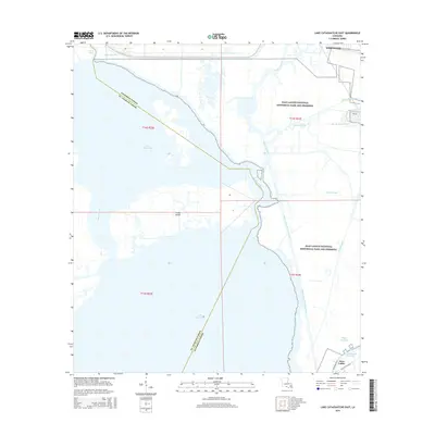
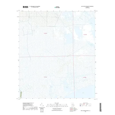
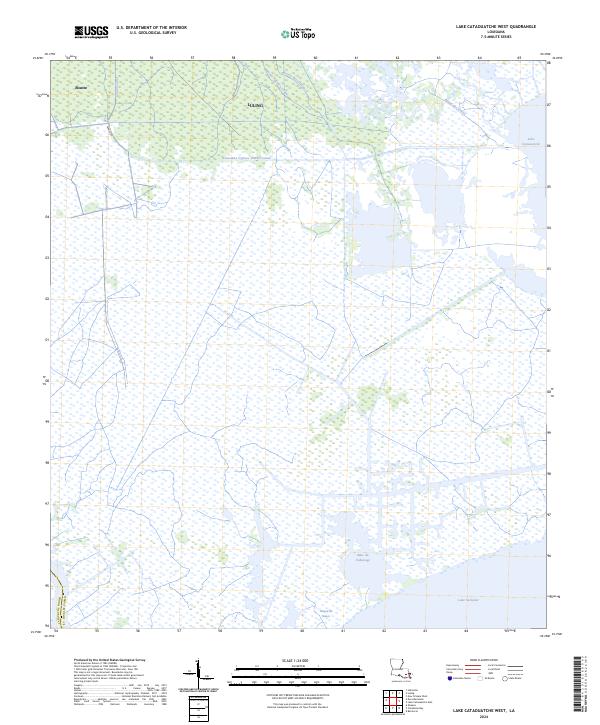
1967 Map of Lake Cataouatche West
USGS Topo · Published 1973About this map
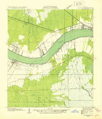
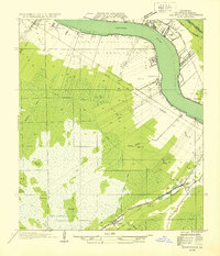
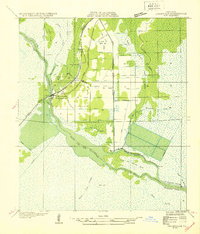
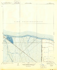
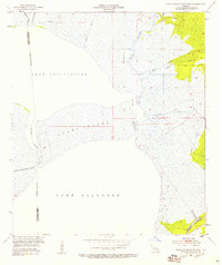
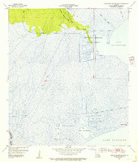
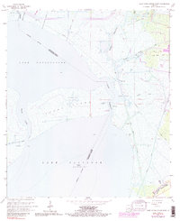
Lake Cataouatche and the northern reaches of Lake Salvador dominate this coastal landscape, illustrating the intricate hydrology of St. Charles Parish during the late 1960s. The region is a complex network of natural waterways and industrial interventions, characterized by the extensive Boutte Oil and Gas Field and a series of prominent canals. These artificial cuts, including Cousin Canal and Lanaux Canal, reflect the mid-century expansion of resource extraction and water management in the wetlands.
Find a feature on this map
17 named features on this map. Tap any name to fly to it.
Don’t see what you’re looking for? This feature index may not catch every label — zoom into the map to look around manually.
Map Details
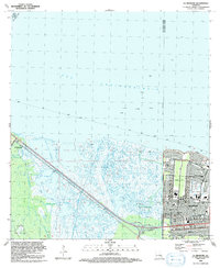
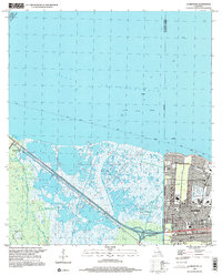
Editions of this 1967 Lake Cataouatche West Map
5 editions found
Historical Maps of Lafourche Parish Through Time
32 maps found
1932 Hahnville NE
St. Charles Parish, LA
1932 Hahnville NW
St. Charles Parish, LA
1932 Hahnville SW
St. Charles Parish, LA

1932 New Orleans SW
St. Charles Parish, LA
1938 La Branche
St. Charles Parish, LA
1940 Allemands
St. Charles Parish, LA
1942 Lake Cataouatche East
St. Charles Parish, LA
1942 Lake Cataouatche West
St. Charles Parish, LA
1952 Allemands
St. Charles Parish, LA
1952 La Branche
St. Charles Parish, LA
1952 Lake Cataouatche East
St. Charles Parish, LA
1952 Lake Cataouatche West
St. Charles Parish, LA
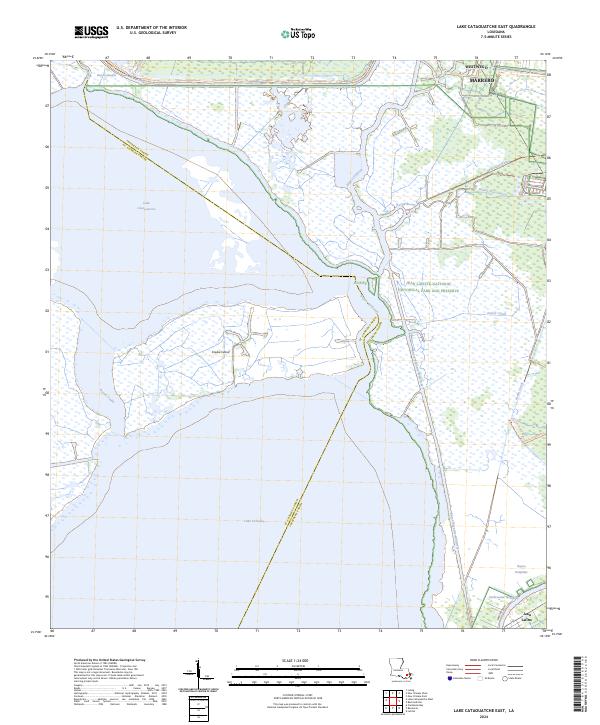
1966 Lake Cataouatche East
St. Charles Parish, LA
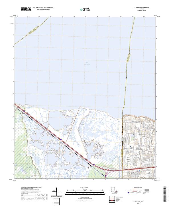
1967 La Branche
St. Charles Parish, LA
1967 Lake Cataouatche West
St. Charles Parish, LA
1992 La Branche
St. Charles Parish, LA
1999 La Branche
St. Charles Parish, LA
2012 La Branche
St. Charles Parish, LA
2012 Lake Cataouatche East
St. Charles Parish, LA
2012 Lake Cataouatche West
St. Charles Parish, LA
2015 La Branche
St. Charles Parish, LA
2015 Lake Cataouatche East
St. Charles Parish, LA
2015 Lake Cataouatche West
St. Charles Parish, LA
2018 La Branche
St. Charles Parish, LA
2018 Lake Cataouatche East
St. Charles Parish, LA
2018 Lake Cataouatche West
St. Charles Parish, LA
2020 La Branche
St. Charles Parish, LA
2020 Lake Cataouatche East
St. Charles Parish, LA
2020 Lake Cataouatche West
St. Charles Parish, LA
2024 La Branche
St. Charles Parish, LA
2024 Lake Cataouatche East
St. Charles Parish, LA
2024 Lake Cataouatche West
St. Charles Parish, LA